The start of this hill walk was the car park on the south side of the River Callop accessed from the A830 Fort William to Glenfinnan Road immediately west of the railway underpass. On setting off I walked south on the tarred road to Callop Cottage and the small power station then along the vehicle track to the Allt na Cruaiche dam where a new gate and deer fence had been installed.
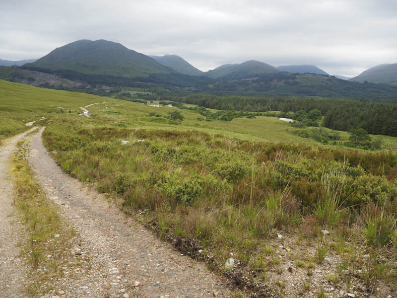
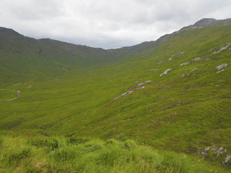
Beyond, a rough path led to a second gate and deer fence and here it was rather wet and boggy. This wet and boggy theme continued as I headed south-west through the pass between the Graham, Meall nan Damh, and the Corbett, Sgorr Craobh a’ Chaorainn.
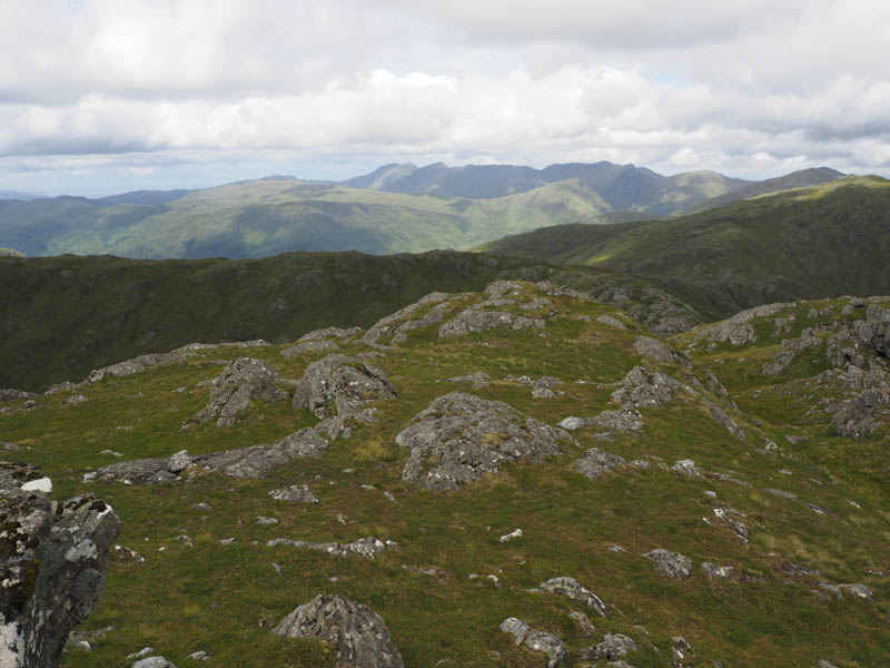
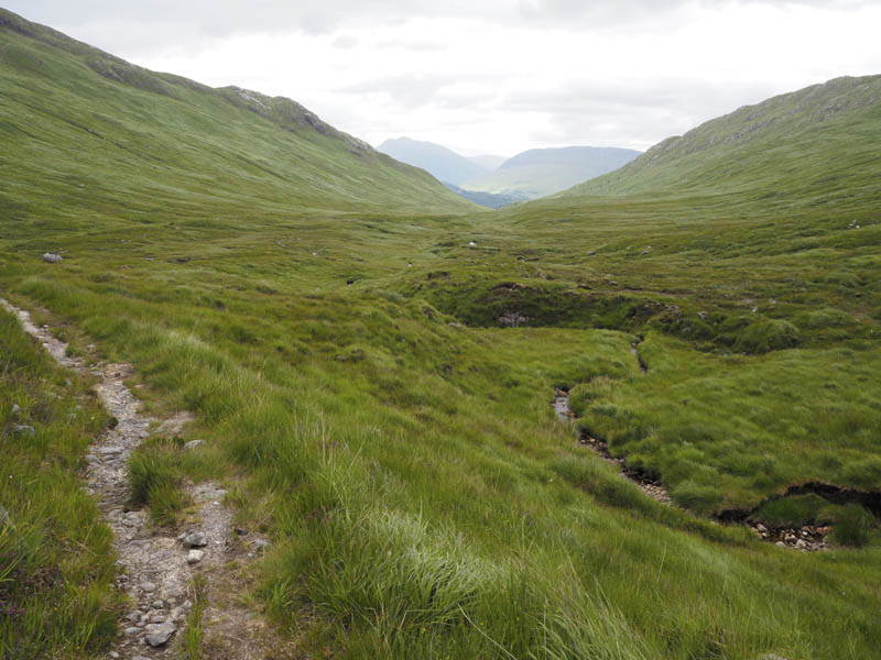
Around the watershed there was an improvement in the path which later split although the one heading south-west towards the head of Cona Glen wasn’t very obvious.
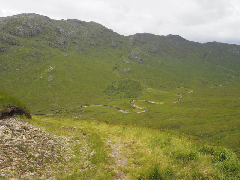
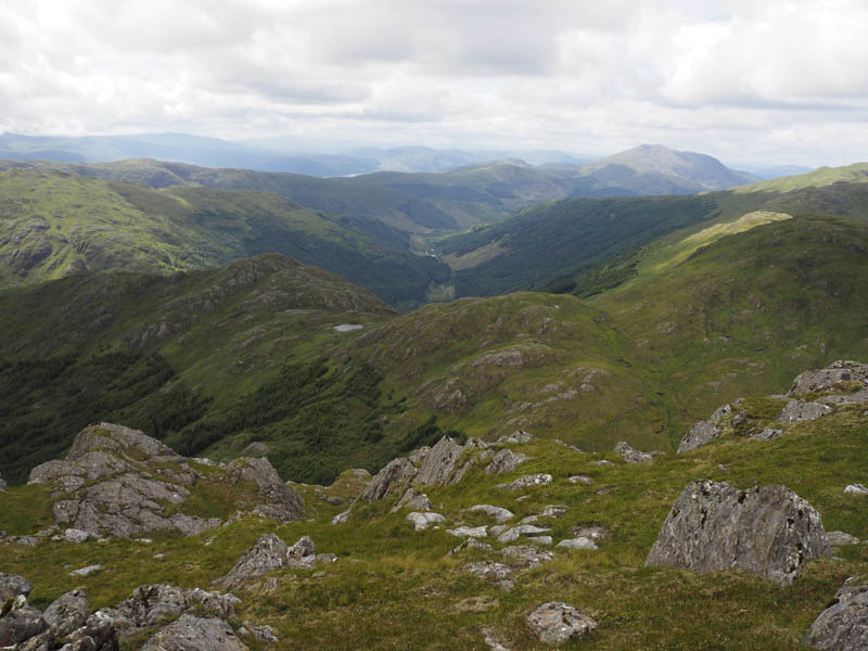
It was at this point that I left the path and descended through vegetation to the Cona River, losing around 140 metres in height. The cloud that covered some of the lower tops was now beginning to lift.
The water level was fairly low so the river was easily crossed followed by some bog. I then walked round the east side of a small plantation where the ground was quite wet and rough before heading up the east side of the Allt Eag a’ Mhadaidh Ruaidh.
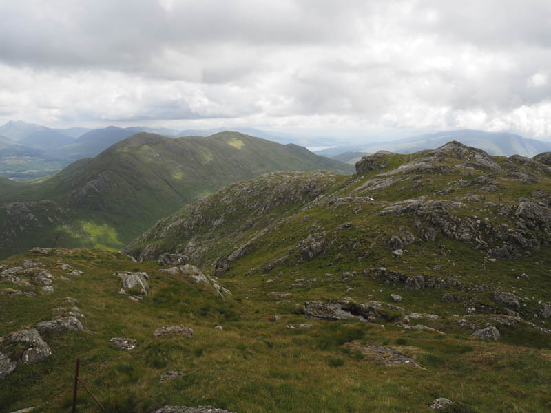
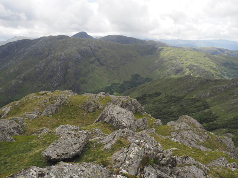
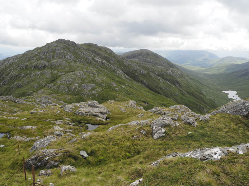
At a split in this gully I followed the easterly one, avoiding a few rocky outcrops, and this led directly to the summit of the Hump and Corbett Top, Meall Mor.
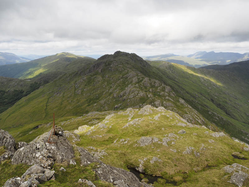
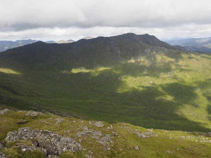
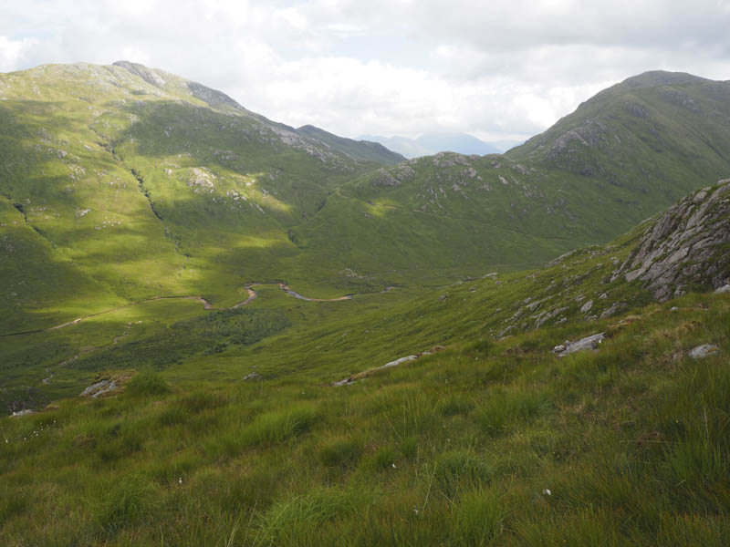
After a short break at this summit I descended to the col with Stob a’ Bhealach an Sgriodain then climbed to the summit of this Corbett. Parallel old metal fence posts would assist navigation in poor weather.
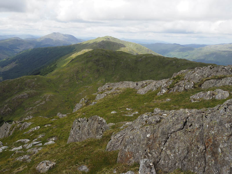
I returned to the col with Meall Mor then descended the east side of Allt Eag a’ Mhadaidh Ruaidh to the Cona River before returning to the start by the outward route.
- Time taken – 7.5 hours.
- Distance – 18.5 kilometres.
- Height climbed – 1160 metres.