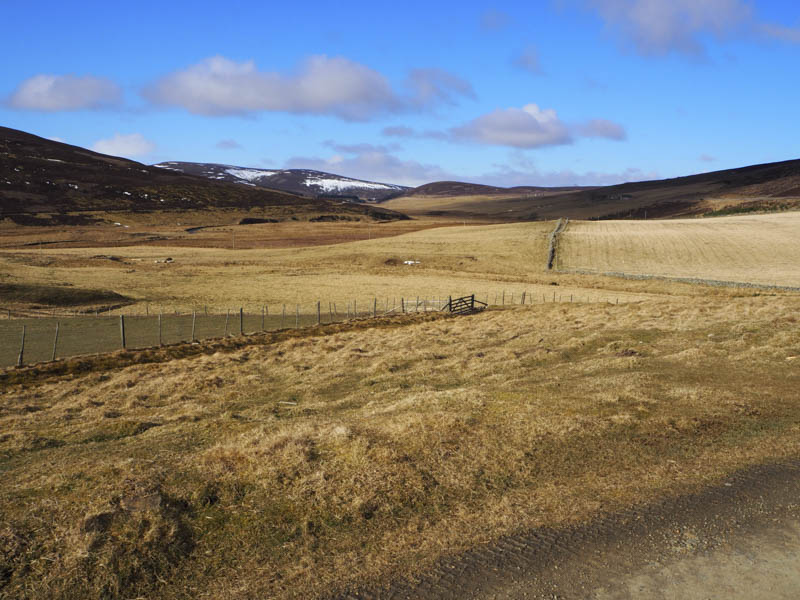
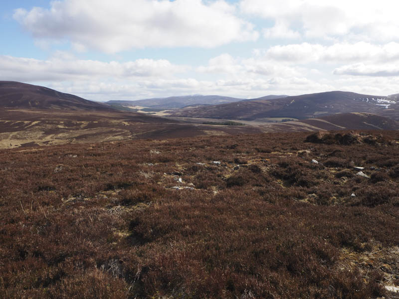
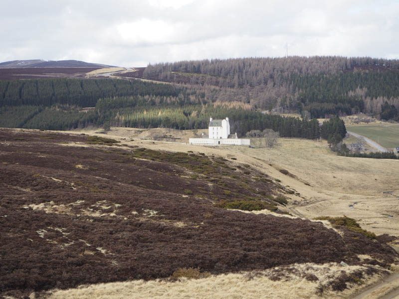
Today’s hills were located to the west of Cock Bridge well known as being part of the A939 hill road across to Tomintoul that is often closed in the winter due to snow. I parked my car at the rear of the old Allargue Hotel, now an outdoor centre, and walked along the vehicle track on the north side of the River Don passed a few habitations.
On reaching the ruin at Dunandhu I left the now rough track and ascended through mixed vegetation to the unmarked summit of the Tump, Tom Dunan.
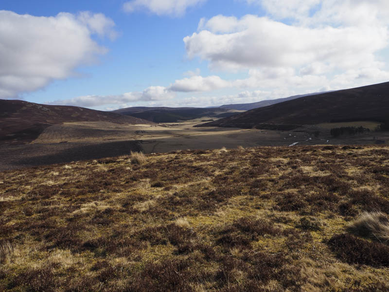
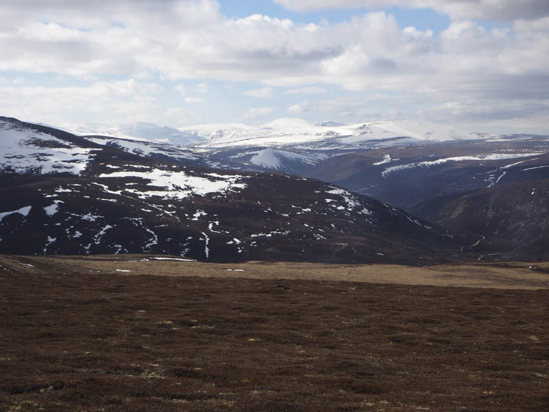
From there I descended north-west crossed the Allt Reppachie and climbed through heather onto the estate track on the south ridge of Druim Bhuirich. The track led to the small cairn marking the summit of this Tump.
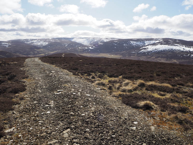
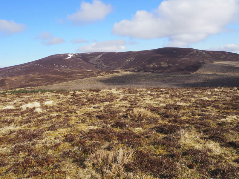
Returned south along this track, crossed some heather and boggy ground, to reach the bridge over the Allt Tuileach. A vehicle track was briefly followed south-east before ascending the ridge to the north of Coire of Culchavie. This took me along the side of some shooting butts where the heather had been cut but this came to an end at the highest butt. Then walked through long heather to reach a double electric fence which was followed to the summit of Cairn Culchavie a Graham Top. The highest point appeared to be a large boulder on the other side of the electric fences but crossing points had been installed to permit access.
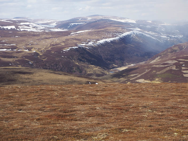
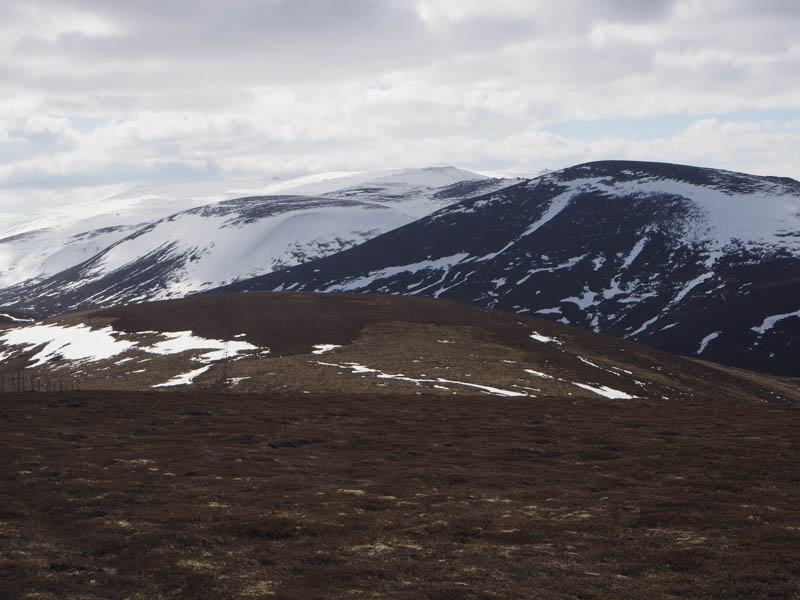
I descended the east ridge then lower down the walking was a bit awkward due to the long heather and juniper bushes. A couple of streams were crossed before I was able to access Carn Oighreag’s North-West Ridge. This led to the cairn marking the summit of this Graham Top.
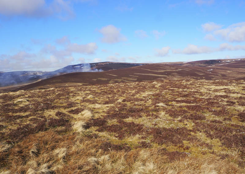
From this summit I headed off in an easterly direction initially on an estate track but later left it to make a more direct descent towards Cock Bridge later re-joining the track which took me to the farm and the A939.
- Time taken – 6.5 hours.
- Distance – 19.5 kilometres.
- Height climbed – 875 metres.