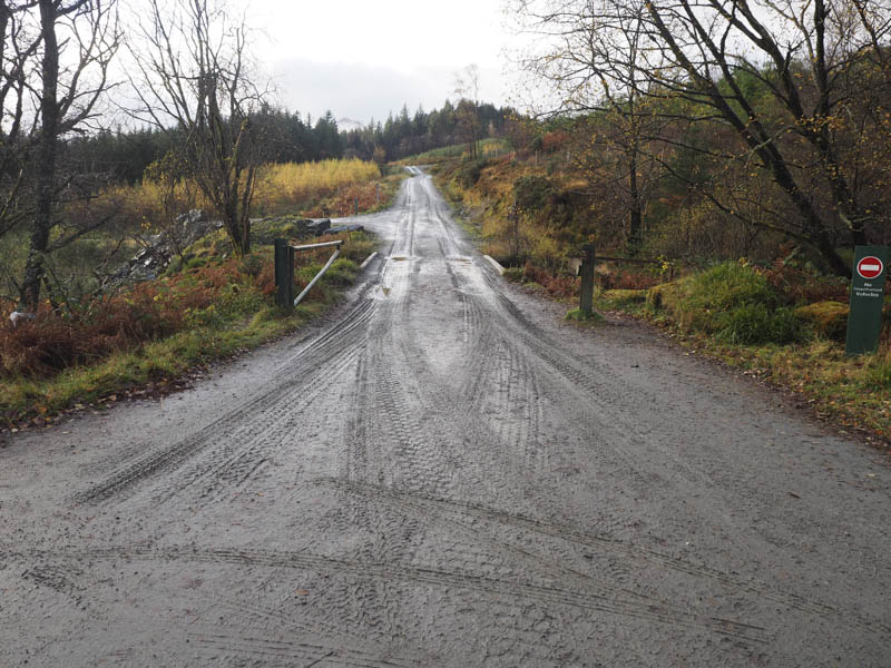
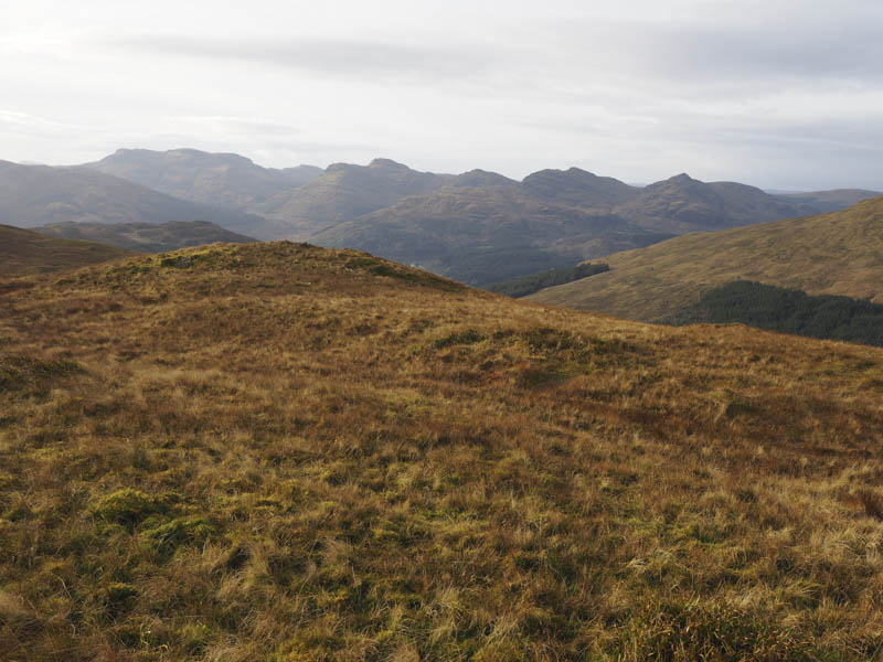
On my previous visit Cnoc Coinnich had Graham status but since then it had been measured at 763.5 metres, taking it above the 2,500 foot mark and into Corbett height. On the previous ascent I climbed it from Lochgoilhead to the west so on this occasion it was to be an easterly approach. I drove south on the single track road from Ardgartan, on the A83 Arrochar to Rest and Be Thankful Road, to the car park at the end of the public road north of Coilessan. Here an army camp had been set up but I was able to leave my vehicle at the side of the road.
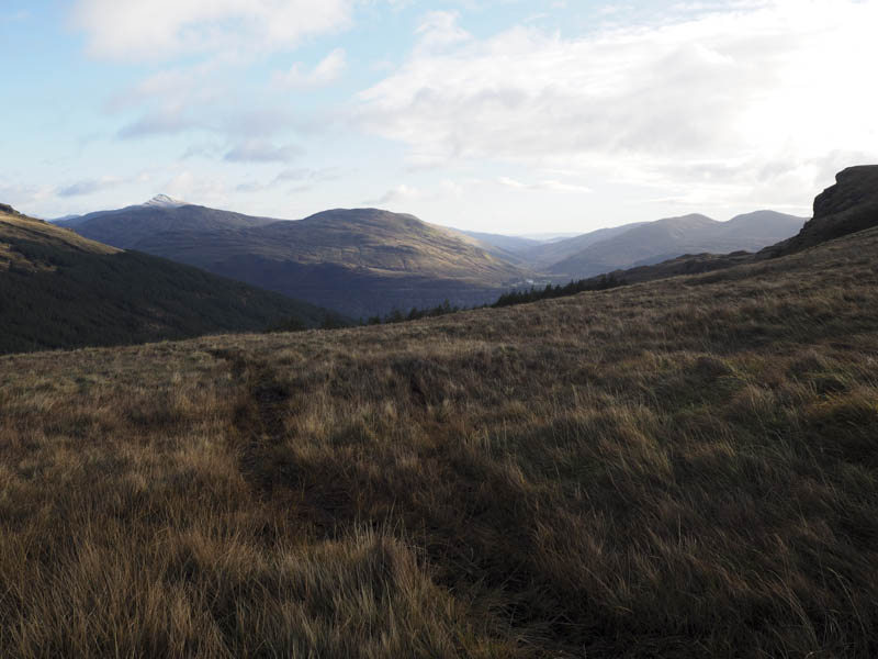
We set off initially in a south-westerly direction along a forest track to a sign indicating the route to the Coilessan Glen Road, also part of the Cowal Way.
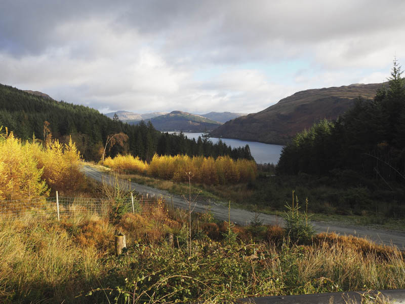
This took us north-west on a forest track through the trees initially on the south side of the Coilessan Burn but later via a substantial bridge onto the north side and here an army truck was slowly descending.
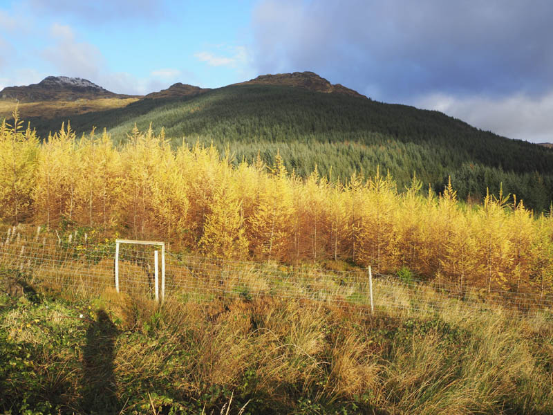
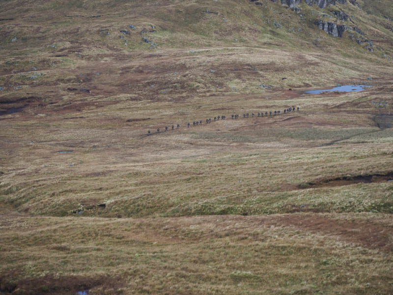
The route, which was well signposted, continued through the forest, where some areas had been cleared. Near the upper end of the vehicle track we came across a large number of army personnel taking a break. I later counted thirty three.
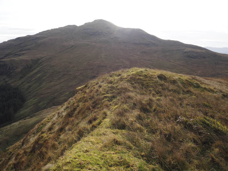
At the end of the vehicle track a fairly steep path headed up the edge of the trees to a gate and stile. Beyond, the ground was rather wet and muddy so we left the path and commenced the ascent of Cnoc Coinnich climbing onto its NNW ridge where a faint path was located.
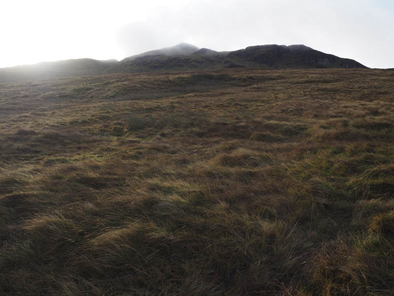
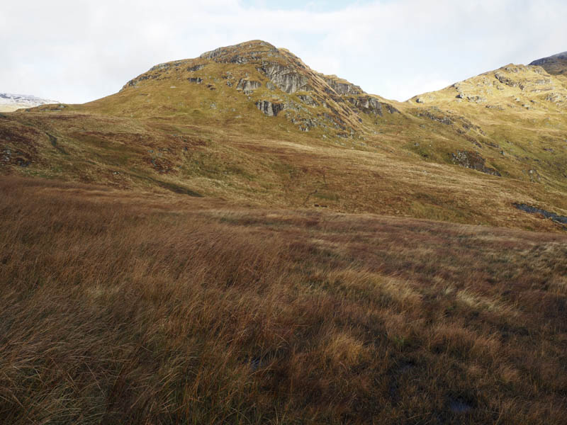
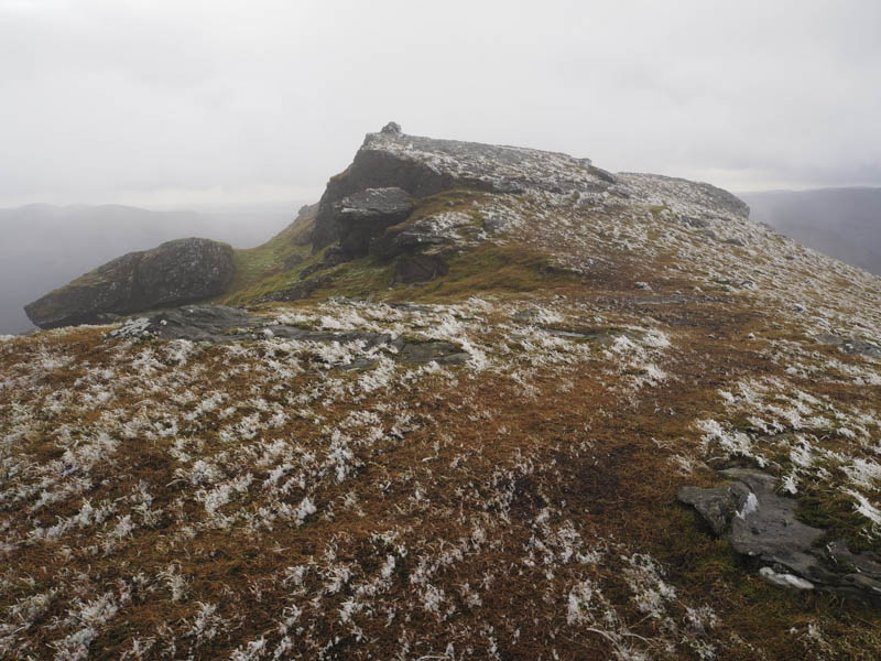
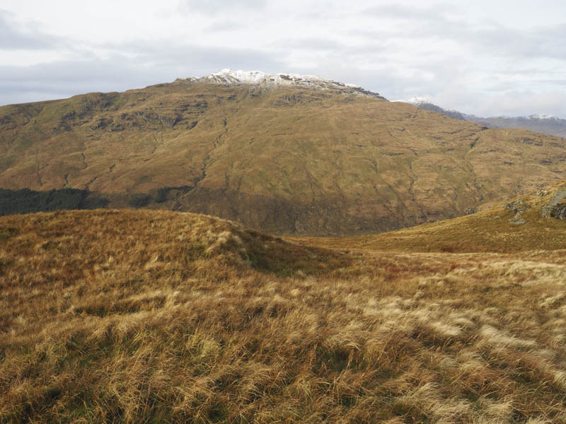
It was then a steady climb to the summit cairn. Unfortunately at this point some low cloud engulfed the area and as there was a cold wind blowing we descended to the col with The Brack.
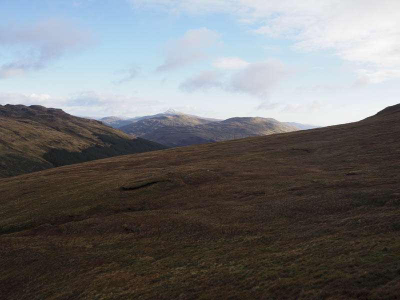
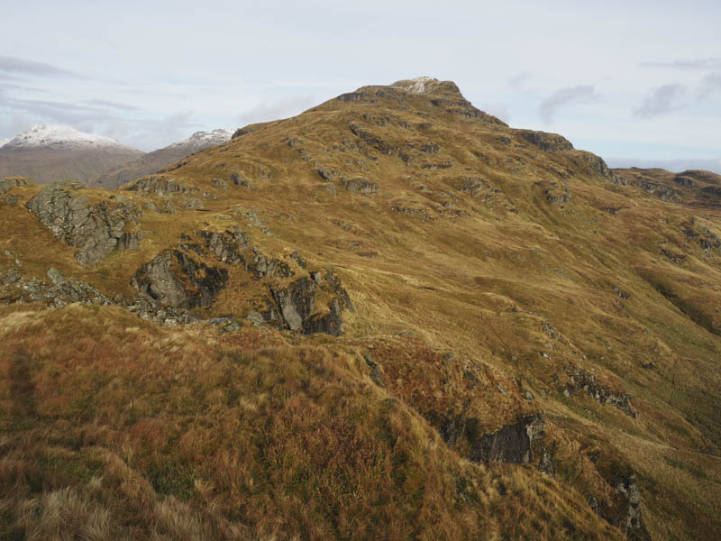
My walking companion headed back down Coilessan Glen while I crossed some wet ground and a fence then ascended the The Brack’s South-West Top, a Sub Dodd. The sun was out and I had some fine views.
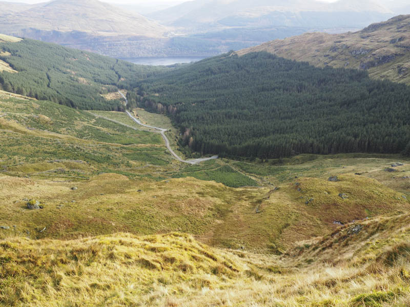
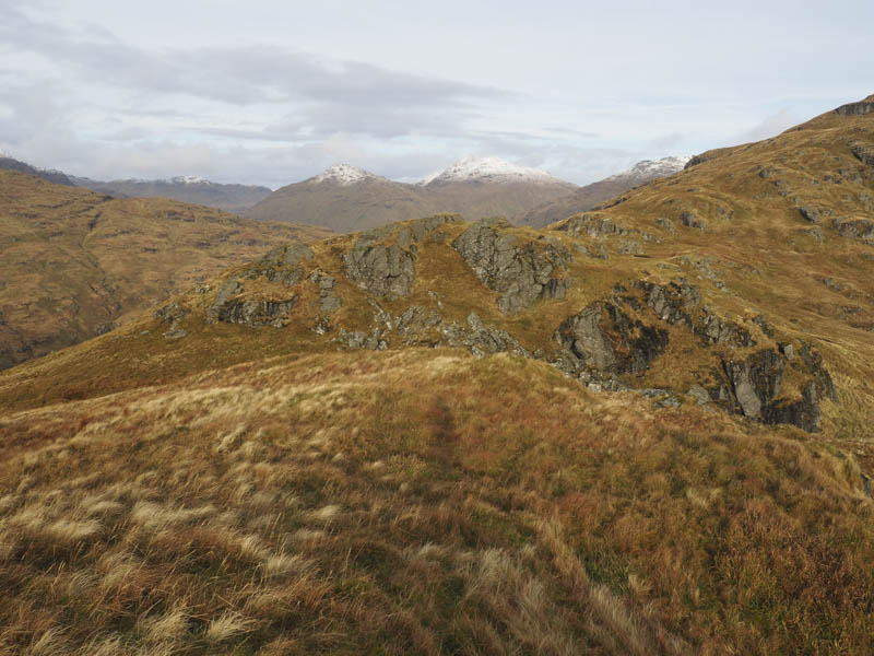
After a short break here I descended through rocky terrain then wet and boggy ground to the gate and stile at the top of Coilessan Glen before returning to my car by the upward route.
- Time taken – 3.75 hours.
- Distance – 11.5 kilometres.
- Height climbed – 835 metres.