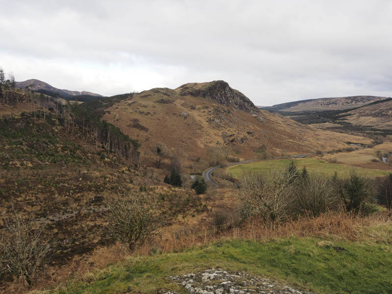
Benniguinea and Cairnsmore (Black Craig of Dee) – The starting point for the ascents of these two hills was the A712 Newton Stewart to New Galloway Road at the Clatteringshaws Visitor Centre. Payment was required to park there so I left my car off-road to the west and walked back to the Visitor Centre. Opposite it a vehicle track was followed south-east then east towards the forest.
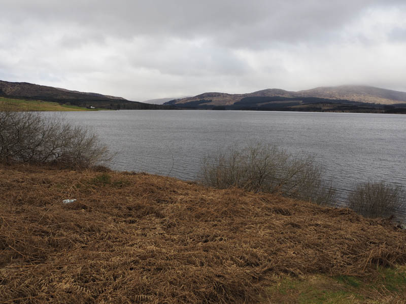
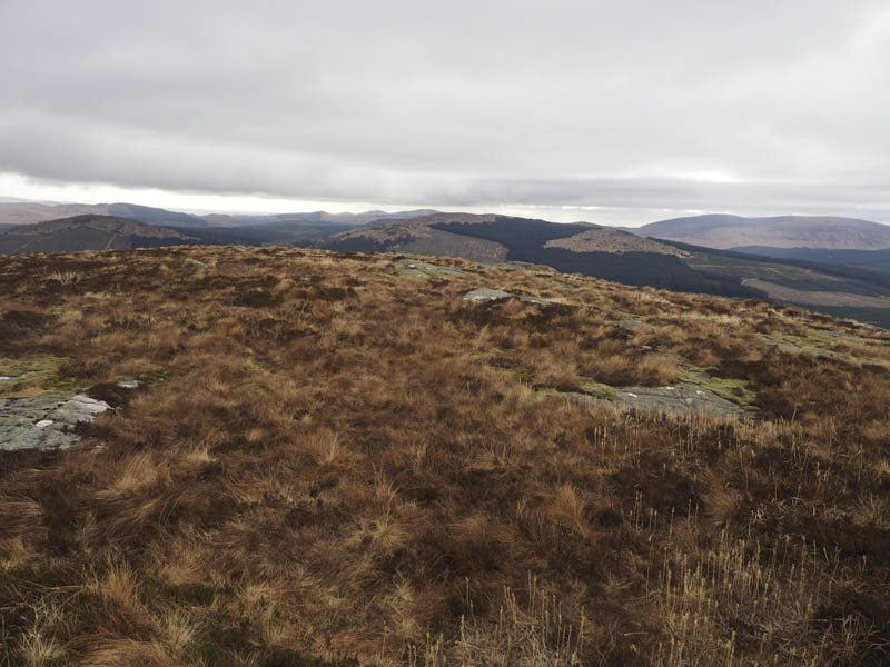
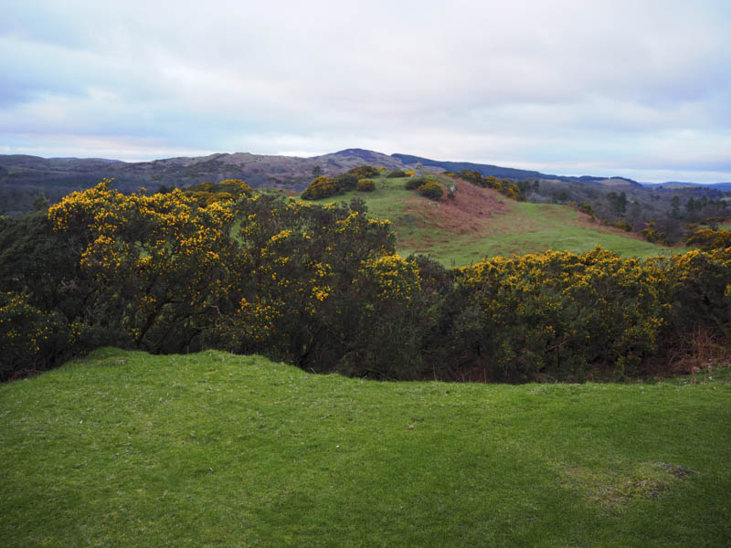
At the first track junction I went right, (south) headed to the end of the track, then along a path going east. There were some boggy sections and a few of the nearby young trees had been cut back. More work was required here as I had to push my way between some of these small firs. The track gained a bit of height and emerged onto another forest track to the west of Benniguinea before winding its way round the north and east sides of this Hump, eventually reaching the communications tower. A path led to the nearby high point which was just south of the cairn.
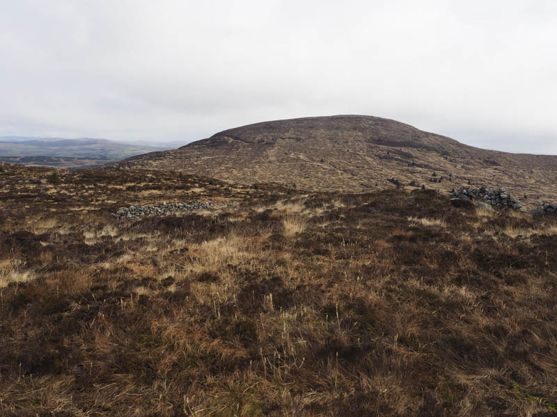
From there I descended east then steeply down a grassy gully and into a cleared area of trees. The walking through the brash and tussocks was awkward as I searched for the easiest route. Once beyond this area I was into deep tussocks making the walking very unpleasant and difficult. I did think of giving up but there wasn’t an obvious escape route. Eventually I came across traces of a walker’s path in amongst the rough vegetation and followed this path south-east. It wasn’t always obvious and higher up there were a few small boulders indicating the route. The trig point marking the summit of the Marilyn, Cairnsmore, (also known as Black Craig of Dee) was reached long after my expected arrival time.
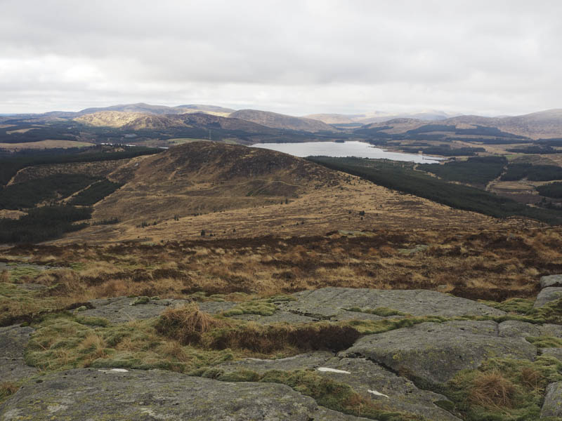
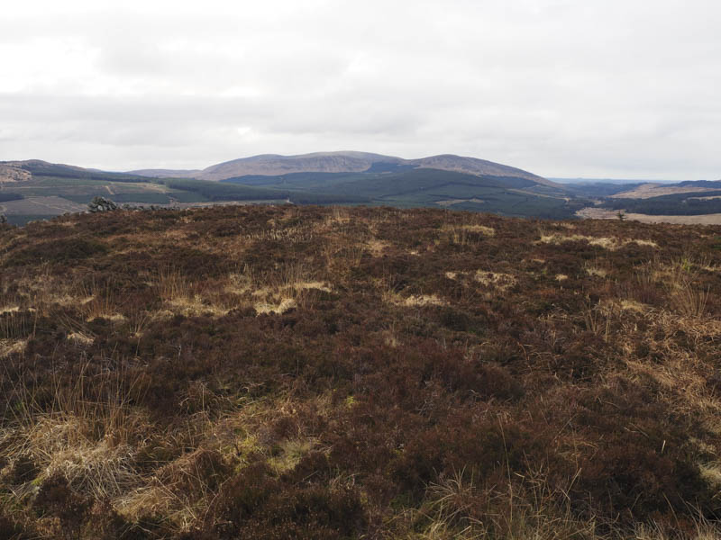
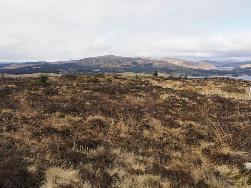
I returned down the path interested to discover where it started. In fact it continued to the col with Benniguinea, a bit wet here, then up its rocky north-east ridge and towards the communications tower. Presuming it joined the forest track beside this tower I cut through rough vegetation to re-join this track to the north-east of Benniguinea then headed back to the start by the outward route.
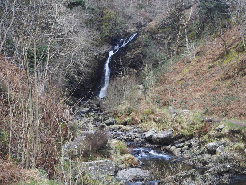
Big Doon – On my return drive west along the A712 Newton Stewart to New Galloway Road I stopped off at the car park beside the Grey Mare’s Tail Burn and walked up the path to Big Doon, a deleted Tump.
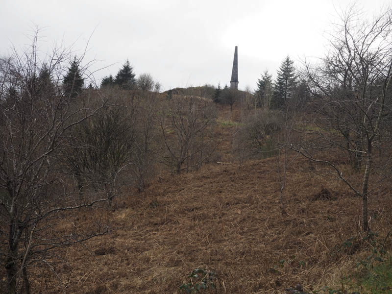
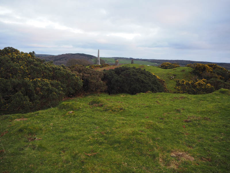
This summit was topped by Murray’s Monument, a tribute to a local shepherd boy who became Professor of Oriental Studies at Edinburgh University.
I walked round the monument and returned to the car park by the ascent route.
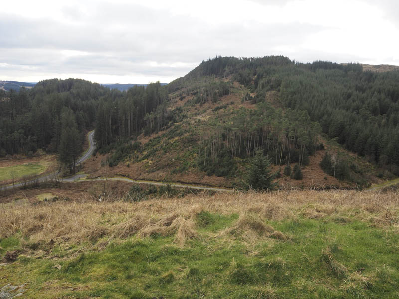
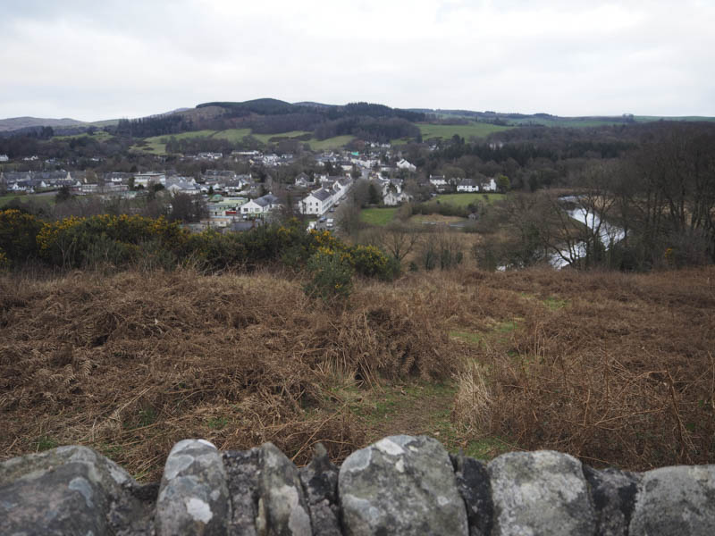
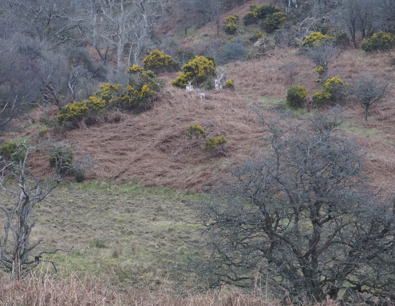
Boreland Hills – From my accommodation at Planetree Park, Gatehouse on Fleet, I looked for the path marked on my map to access Boreland Hills. I never located it (should have gone along the road marked private no parking) so walked down Planetree Park to the B796 where a small gate led to a path running up the back of the houses in Planetree Park. This took me through some dead bracken and gorse bushes to a viewpoint above Gatehouse on Fleet with a map indicating local features.
I expected the path to continue towards the summit of Boreland Hills but that wasn’t the case. I therefore crossed a barbed wire fence and walked through some rough ground and woodland with several old fallen trees to the Rutherford Monument. From there I headed NNW to the trig point then through some gorse bushes to the highest point of this Tump.
The descent of the NNW ridge led to a marked path which wound its way through gorse bushes to a vehicle track beside a cattle grid, and onto the ‘private road’ I should have used to access this hill. On the descent I disturb a large group of fallow deer.
- Total time taken – 5.5 hours.
- Total distance – 13.75 kilometres.
- Total height climbed – 690 metres.