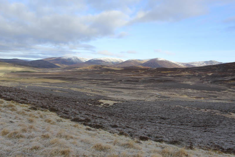
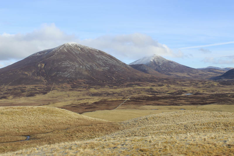
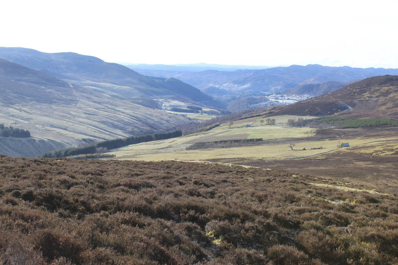
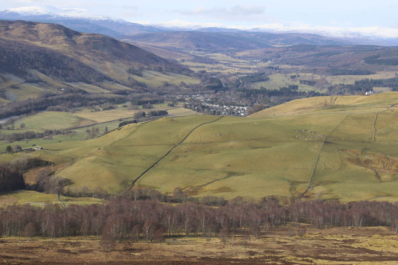
The drive south on the A9 from Inverness was fairly quiet, it being an early Sunday morning. South of Aviemore there were great views of the Alpenglow on the snow capped mountains then south of Drummochter the glare from the sun on the damp road was blinding. At Bruar I left the A9 and headed along the B8079 to Blair Atholl then up the minor road passed Old Bridge of Tilt towards Monzie. Prior to reaching this farm I came to the usual parking spot for the Beinn a’ Ghlo Munros. Since my last visit a Pay and Display car park had been constructed. I was also surprised to note that the snow level in this part of the country was just below Munro height.
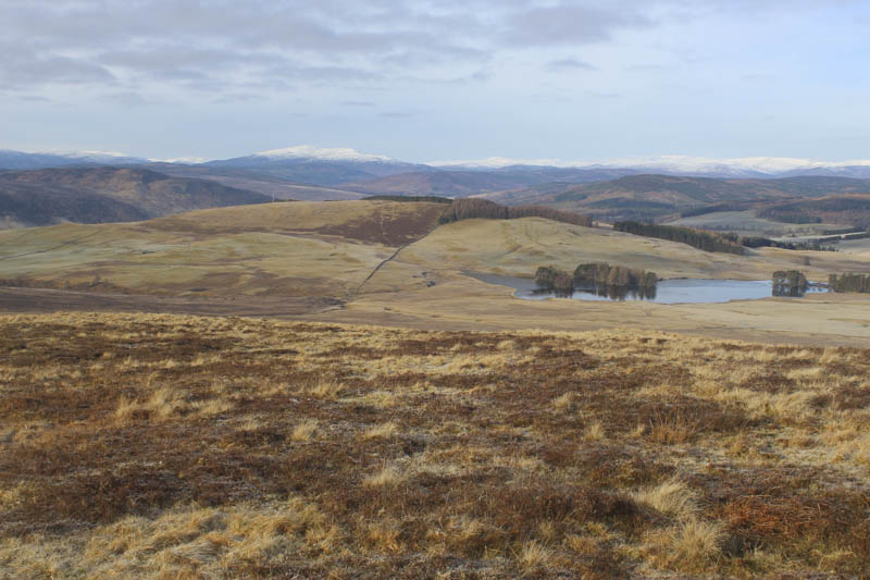
Once organised I briefly walked along the road towards Monzie then through a gate onto the vehicle track for Shinagag. Part way along this track I crossed a cattle grid then through the cows, they didn’t move, congregated there waiting to be fed which happened a while later. Further along the track I crossed a stock fence, topped with an electric wire, and walked through heather and grass onto the summit of the Tump, Cnoc Monzie, marked by a boulder.
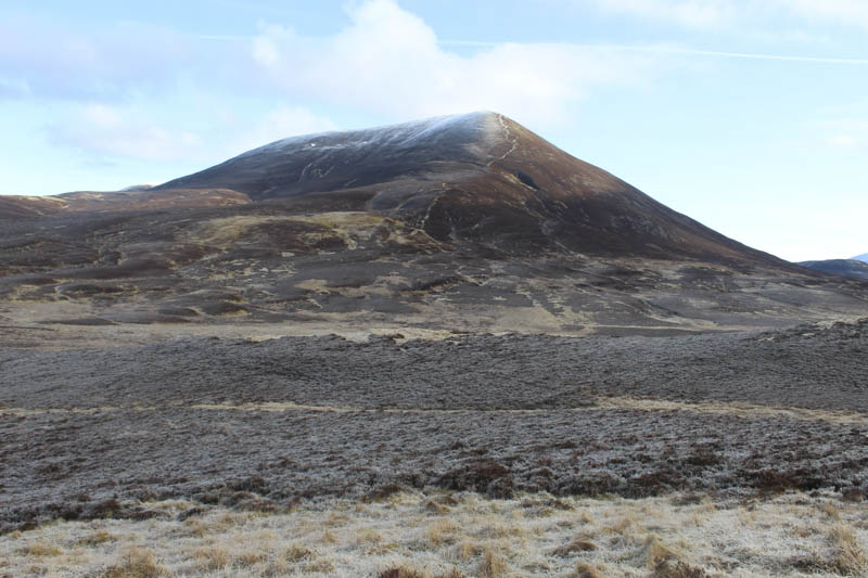
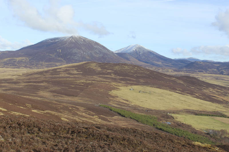
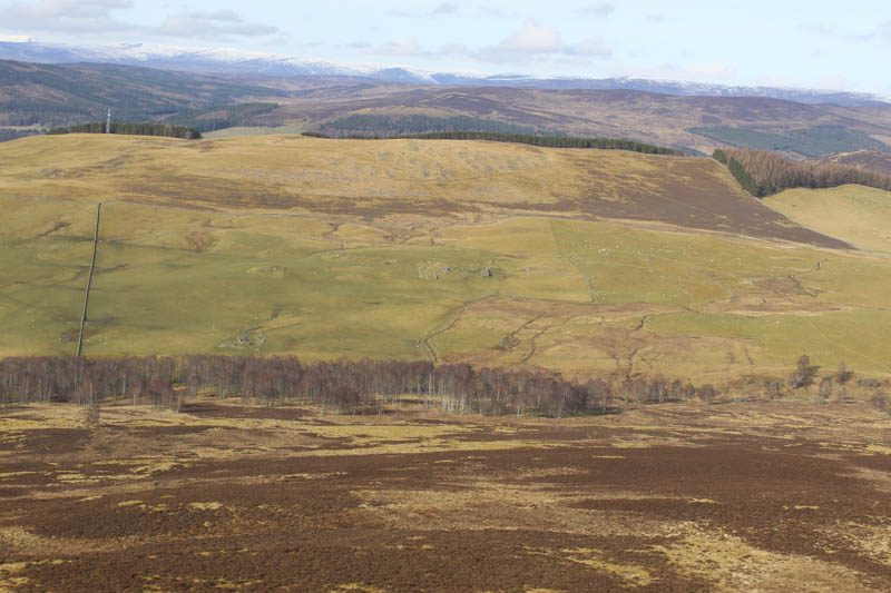
I descended south-south-east to a gate in the stock fence, crossed the track I left earlier, and onto another vehicle track losing a bit more height. At a bend in this track I left it and headed south across rough ground, easy enough going as it was mostly frozen. In milder conditions I would suspect the crossing would be boggy as it was also churned up by cattle. It was then a steady climb on mixed vegetation to a junction of fences and a stone dyke which marked the summit of the Hump, Meall Mor.
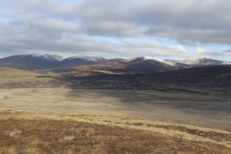
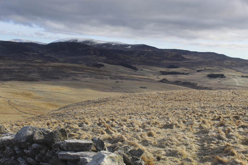
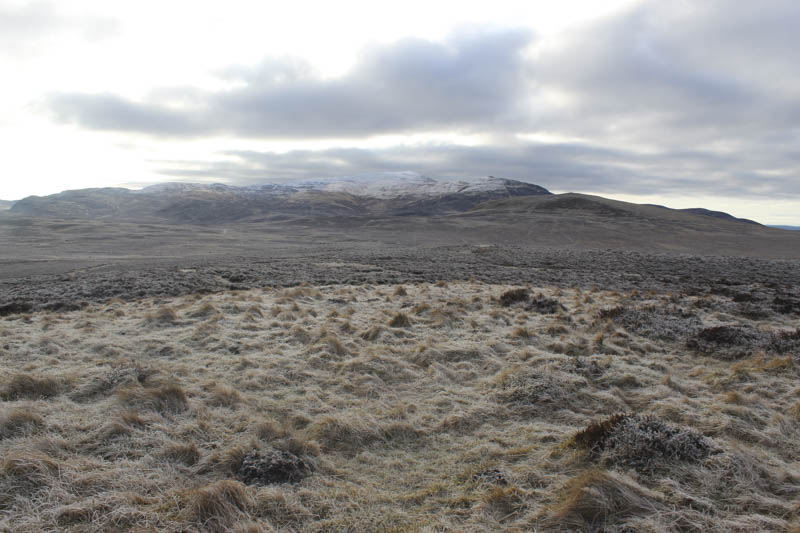
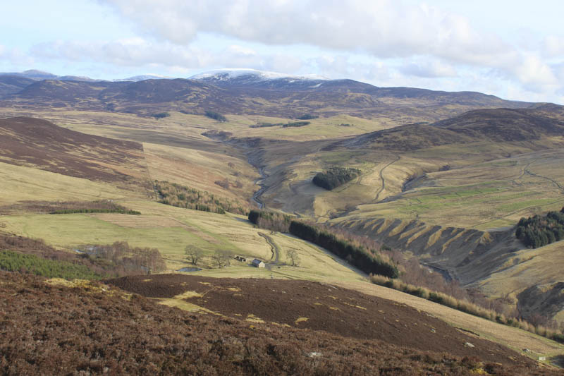
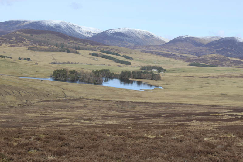
After a coffee break here I checked out a point to the south-east but it was definitely lower then made the long descent south-west through heather and climbed towards Creag Eallaich where I was confronted by a deer fence with the top four wires electrified. I followed this fence and came across a point where there was a slightly larger gap between the lowest electric wire and the rabbit fencing. With my rucksack off I managed to squeeze through this gap without being shocked. I then visited two knolls but the wooded area looked higher so I crossed to the well spaced trees and located the cairn marking the summit of the Tump, Creag Eallaich.
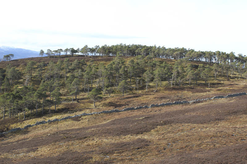
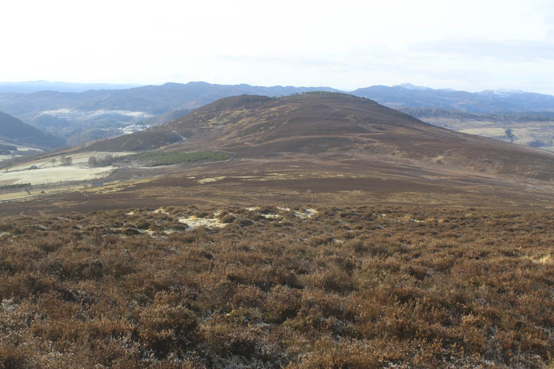
I headed north through the wood and came across a gate in the deer fence, then descended north-west through rough vegetation disturbing some roe and red deer. I crossed a couple of stock fences and the Allt Chluain before entering a grassy field where sheep were grazing. Once across this field I went over another fence and climbed to a gate between the two sets of trees. I then entered the wood to the south-west and walked to a grassy area which appeared to be the highest point of the Tump, Creag nan Ceard.
I returned to the gate then north down the west side of the trees, crossed a rough area of ground churned up by cattle and into another field and to a stock gate which gave access to the public road south-west of where I had left my car.
- Time taken 4 hours.
- Distance – 10.25 kilometres.
- Height climbed – 430 metres.