The starting point for this walk was Aultgowrie, on the minor road west of the Muir of Ord Distillery in Easter Ross. Walkers appear not welcome by the local residents going by the number of no parking signs there were. Eventually I found an off-road spot on the dead end Orrinside Road.
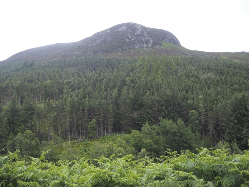
I walked back to Aultgowrie then west along the vehicle track on the north side of the River Orrin passed the Falls of Orrin, which were a bit obscured by the trees. I continued along this vehicle track, now in a north-westerly direction, which led to the properties at Strathan Wood. I searched for the track that continued west on the north side of the river but it no longer existed, confirmed by a local resident. I therefore crossed the River Orrin via a road bridge to join a tarred road on its south side.
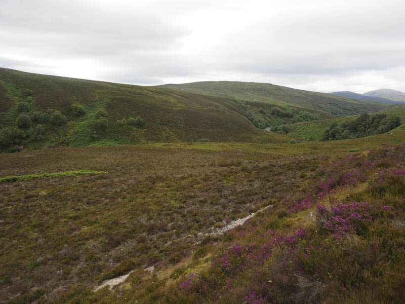
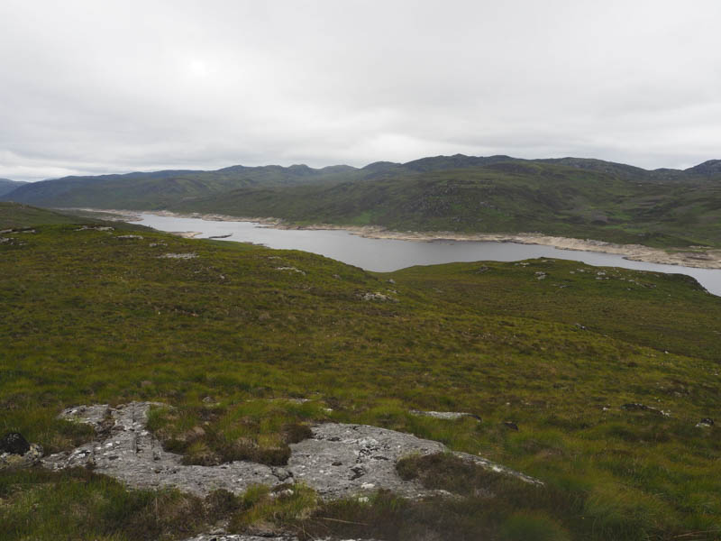
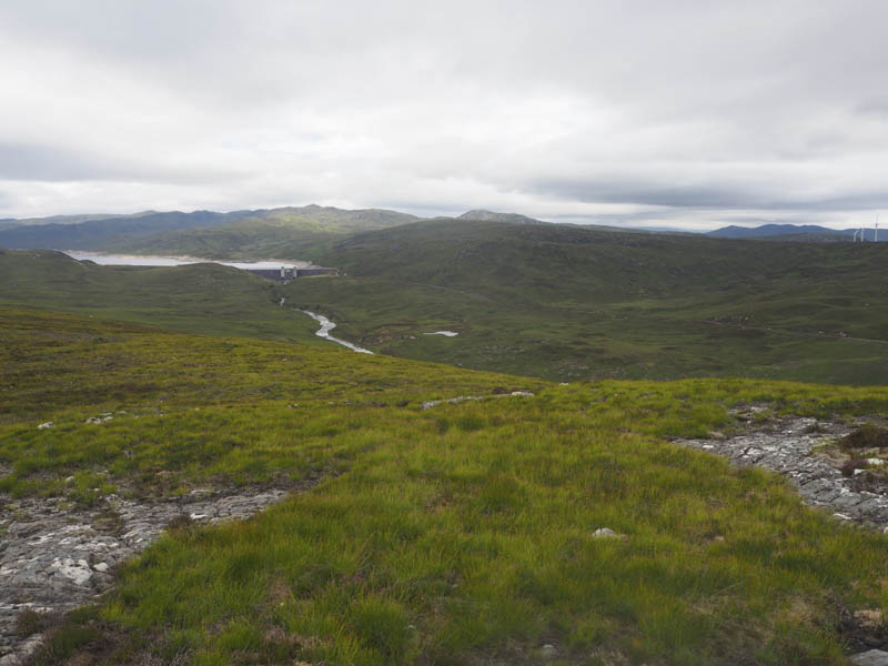
This road was followed west, through a pedestrian gate, the main gate was locked and contained several padlocks, and after around 700 metres re-crossed the River Orrin by another road bridge. The tarred undulating road then continued through Glen Orrin, above the north side of the river, for another five kilometres to the Orrin Dam.
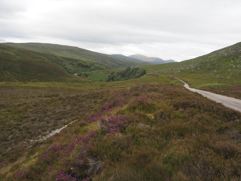
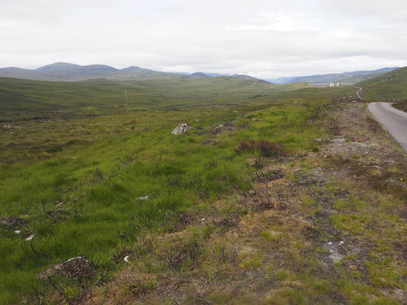
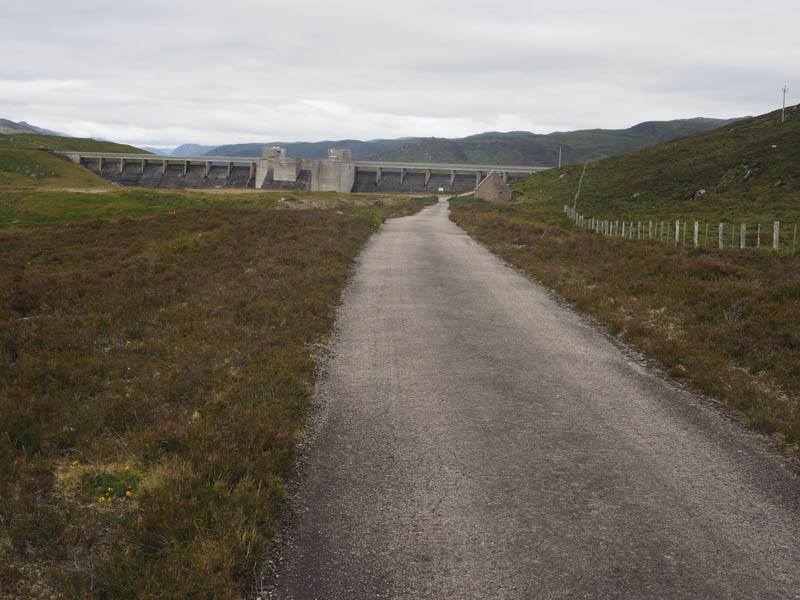
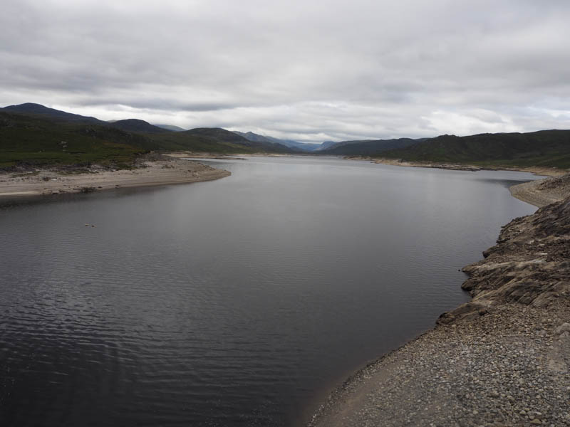
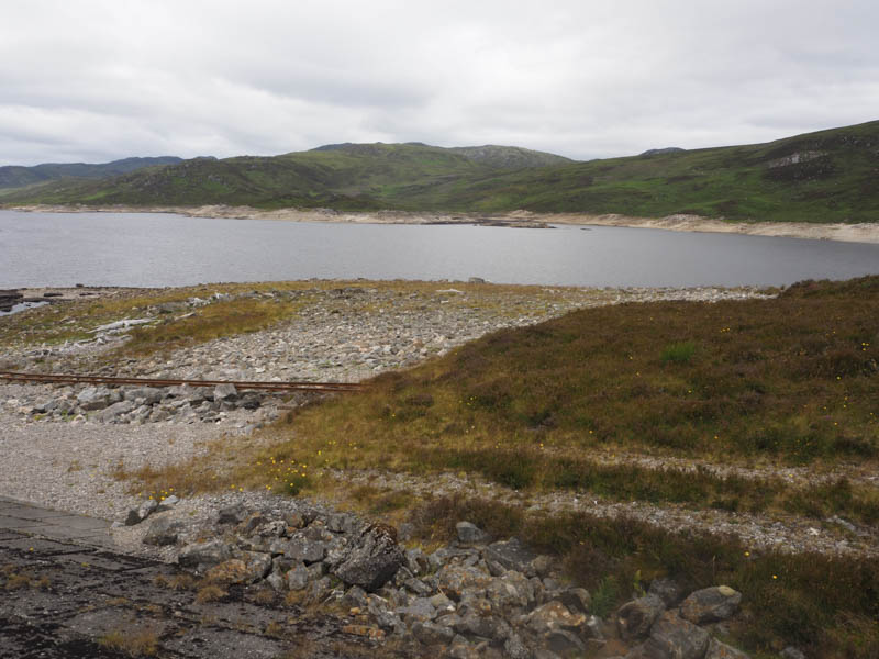
I crossed the dam then the tarred road, not in such good condition, continued to the Orrin Embankment Dam.
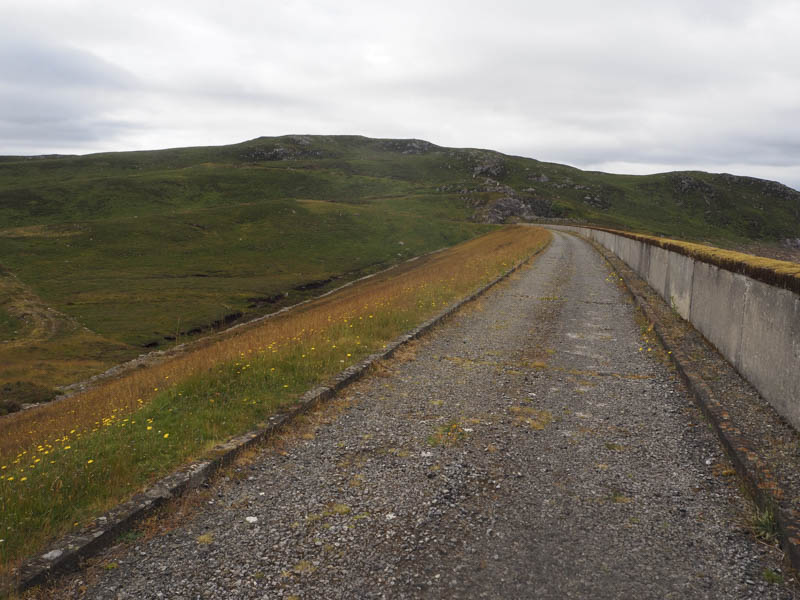
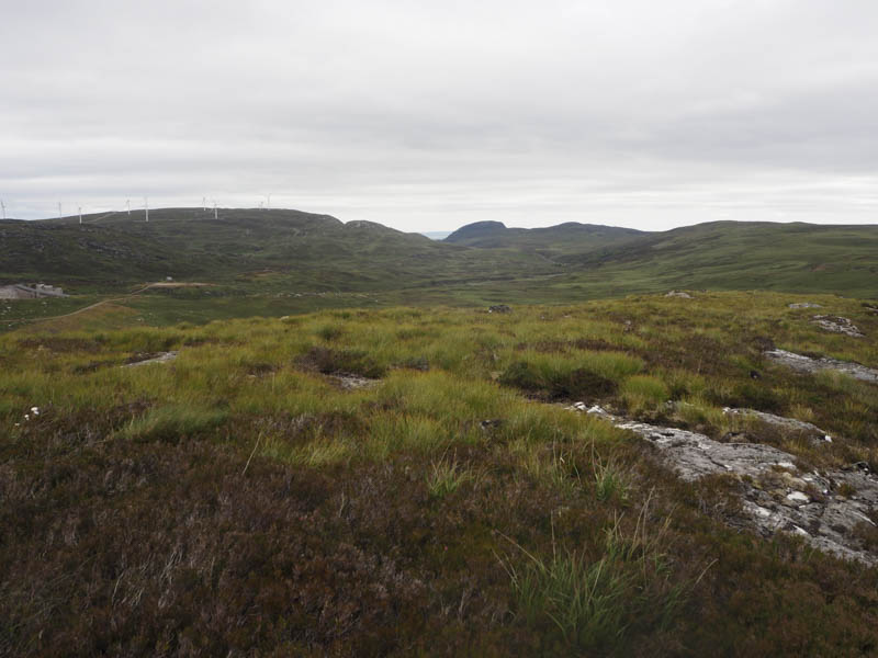
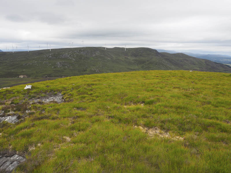
Beyond it a vehicle track climbed onto the north face of Creag a’ Bhainne and at its highpoint I left the track and climbed through some rough vegetation to the cairn marking the summit of this Tump.
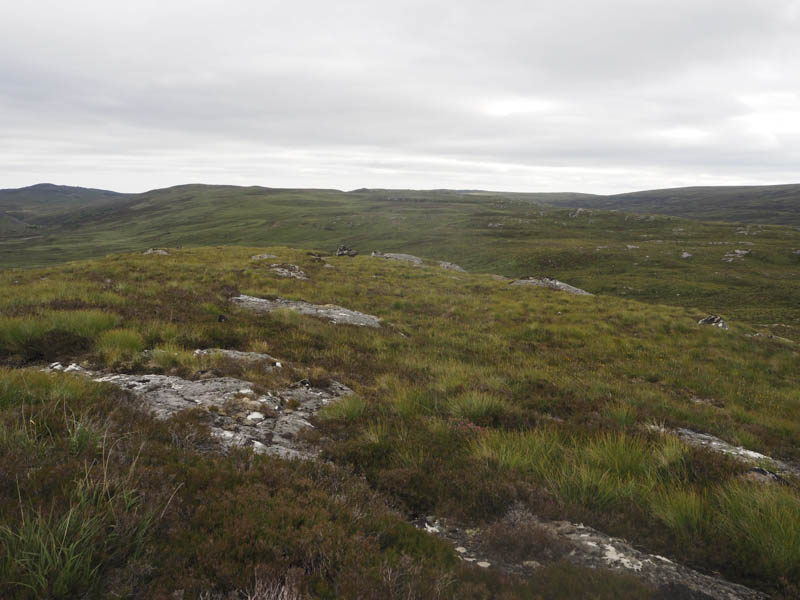
It was rough going on the descent south-east then east where there was a camera attached to a pole. It appeared to be the type used to take wild life shots at night. I came across an ATV track which in normal conditions would have been boggy but it was fairly dry after the recent lack of rain so it made for easier progress. I also spotted a second camera secured to a pole.
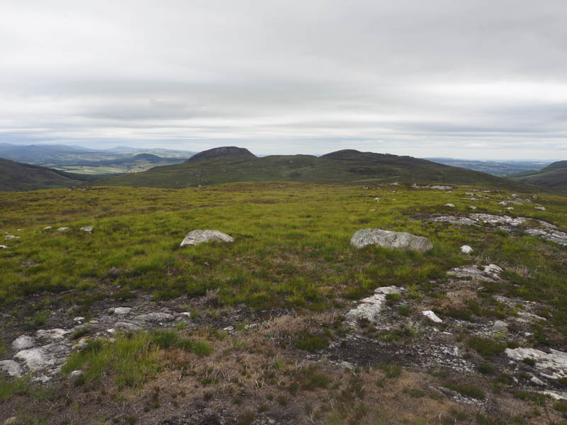
On the ascent of Carn Doire Mhurchaidh I lost the line of the track so it was back to some rough walking as I climbed this Tump. The highest point appeared to be a couple of boulders, one on top of the other.
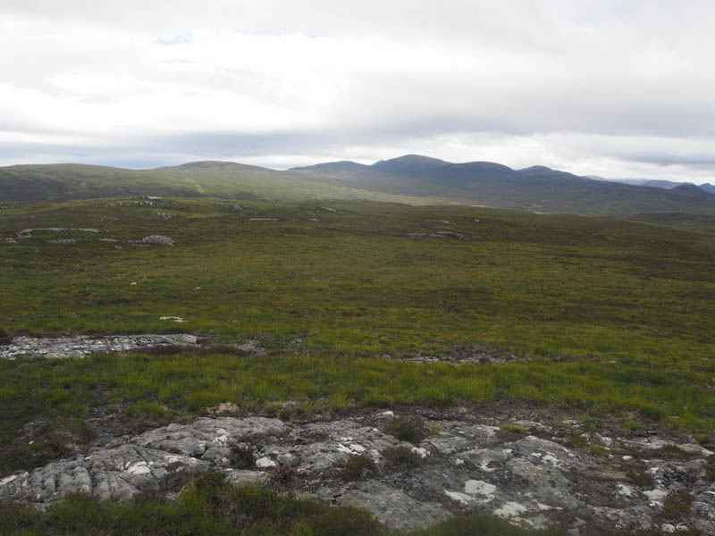
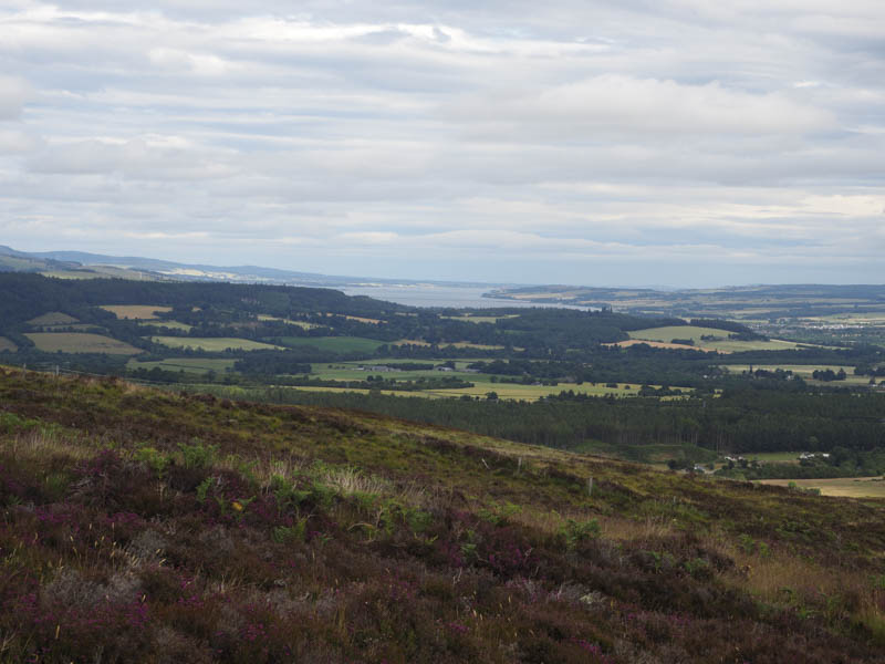
After a break here I descended east through more of the same rough vegetation, including long heather, before joining a little used path. This path wasn’t in great condition but improved a bit as it gained height below the south side of Cul Beag. The path then descended to Achederson Farm where a farm track led to the minor road north of Aultgowrie. It was then a short road walk back to this hamlet and my car.
- Time taken – 6.25 hours.
- Distance – 23.25 kilometres.
- Height climbed – 590 metres.