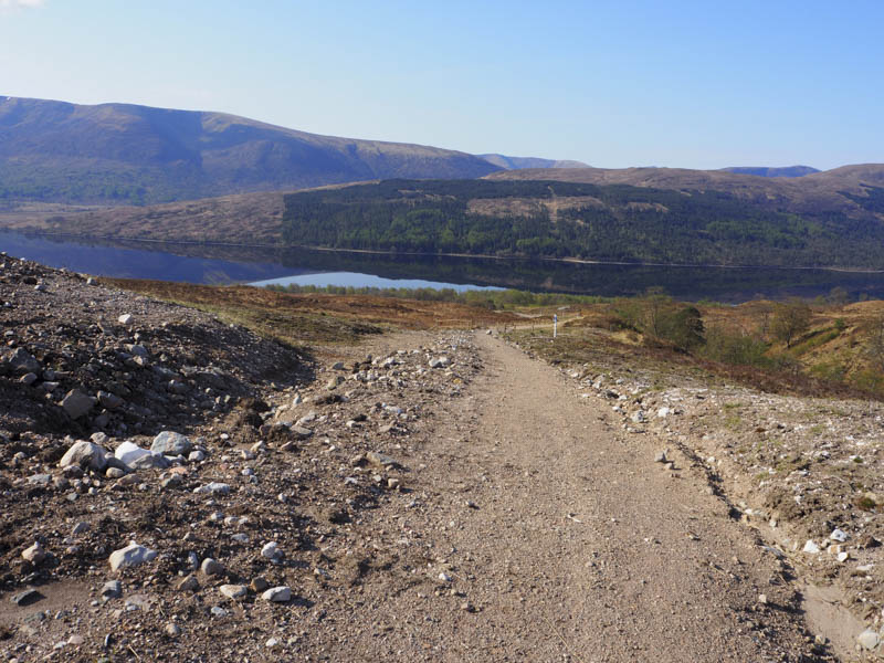
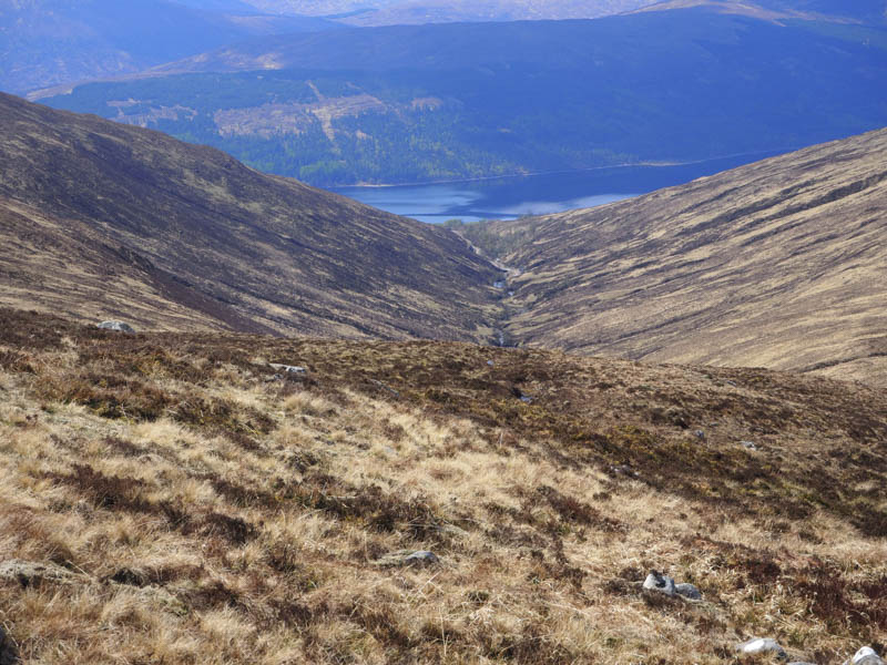
The start of this walk was the Butterfly Reserve Car Park on the north side of Loch Arkaig just east of the Allt Mhuic, reached along the single track road from Gairlochy, north-west of Spean Bridge. I set off through three gates to reach the turbine house for the mini hydro dam further upstream then from the turbine house followed the line of buried pipe work and cables. At the beginning the vegetation was starting to regenerate, but beyond this wasn’t the case, it will take a bit more time.
At NN123917 I crossed a vehicle track, probably used for the extraction of timber, with gates on either side. The upper one was padlocked so I had to climb over it to access the vehicle track on the east side of the Allt Mhuic. Further up this track (NN124921) I came to a locked gate in a deer fence with a pedestrian gate on its west side. I continued up this track which later crossed the Allt Mhuic by a substantial bridge to reach the hydro dam at NN127927.
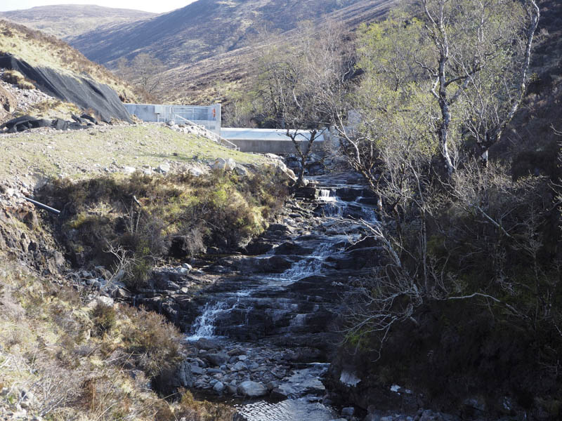
It wasn’t possible to climb over the dam due to the water retained behind it and the embankments on either side were covered in a form of netting to prevent rock fall and erosion. However there was an area that had collapsed so I was able to clamber across it onto the hillside.
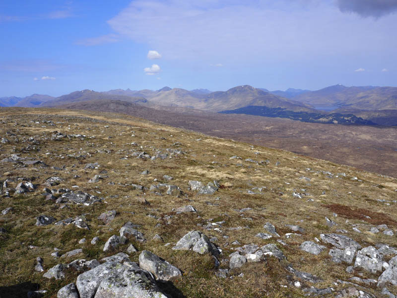
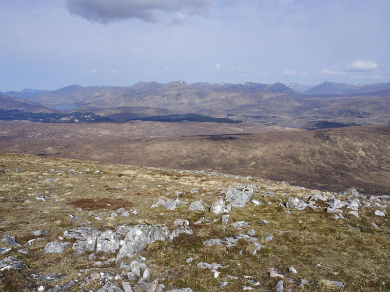
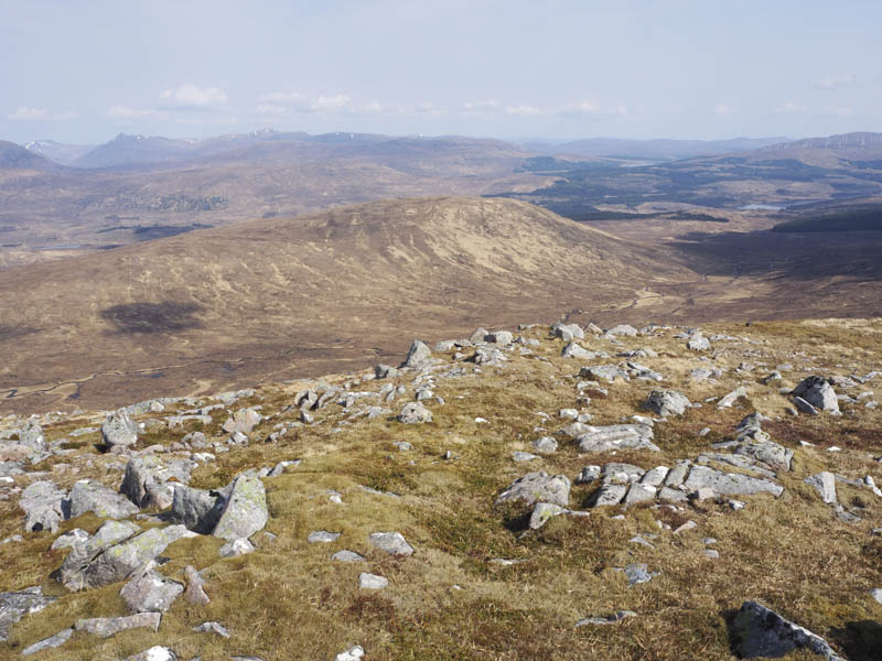
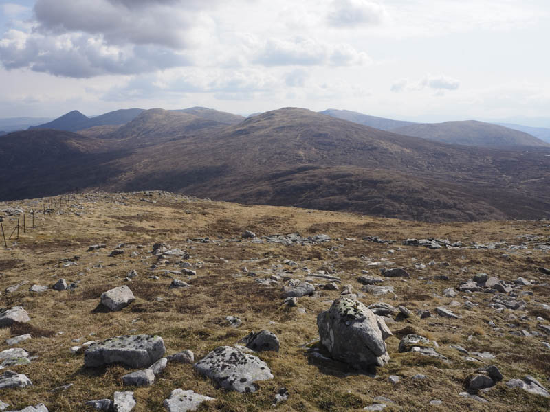
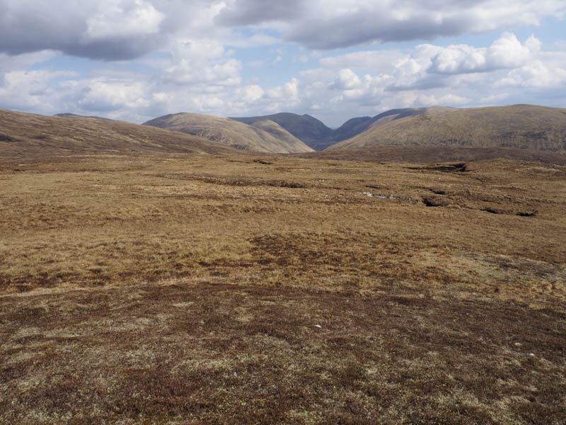
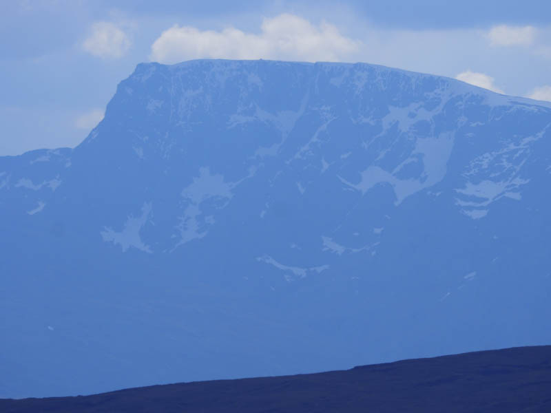
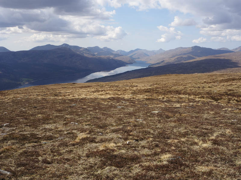
I then headed north across mainly dead vegetation and heather with wildflowers in bloom. There were lots of undulations due to the numerous streams although there wasn’t much water in them due to the recent dry spell. It was warm work and after a bit of height gain Sgurr Choinnich came into view. The ascent continued through similar vegetation but with fewer dips to reach the cairn on Sgurr Choinnich. A rock to the WSW of this cairn marked the highest point of the Graham. There was a cooling breeze here but I sat at the summit taking in the views of the surrounding hills, of which there were many to identify.
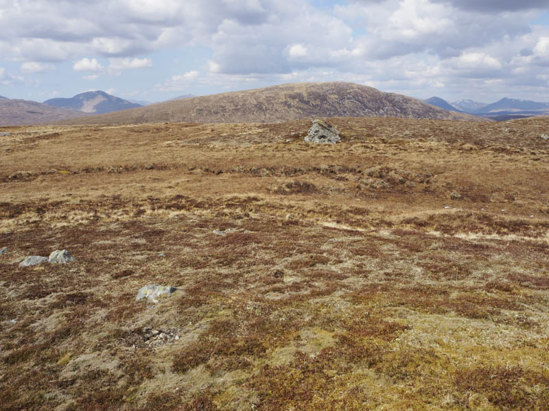
The descent was by the north-east ridge where there were some old metal fence posts, but I soon left them and dropped steeply south-east through heather, grasses and boulders to cross the Allt Mhuic just below Lochan an Fhithich. It was then a steady climb onto the Tump, Carn Dubh, the highest point was a rock beside metal fence posts although there were a few rocks to choose from.
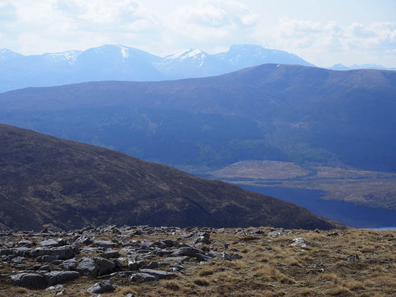
I left this hill heading south-east; it was fairly easy going, to just south of the col with the Corbett, Geal Charn. From there it was a rising traverse across rough vegetation and peat hags to the col below Beinn Chraoibh. I had observed from Sgurr Choinnich, diggers working in this area, there were at least one large and three small ones, and although I never got close to them it appeared they were being used to dam up the boggy pools. From this col I made the easy ascent of the Graham Top, Beinn Chraoibh, the summit marked by a cairn.
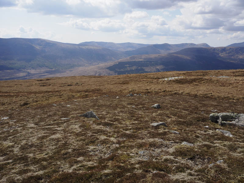
I had another break here again with some fine views of the higher hills. I then descended west, easy going higher up but the vegetation was longer lower down, to rejoin the vehicle track on the east side of the Allt Mhuic just before the gates in the deer fence. I then retraced my route back to the car park.
- Time taken – 5.5 hours.
- Distance – 12 kilometres.
- Height climbed 920 metres.