I was en-route to Galloway so stopped off in the Dalveen Pass, parking on the south side of the A702 Abington to Thornhill Road opposite the farm track to Upper Dalveen, with intention of climbing the hills surrounding Capel Cleuch.
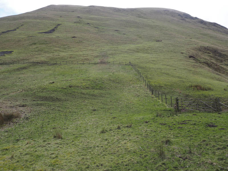
Once through or over a couple of gates it was a rather steep climb south-east on grass and moss onto Capel Hill. The highest point of this Tump, was some grass.
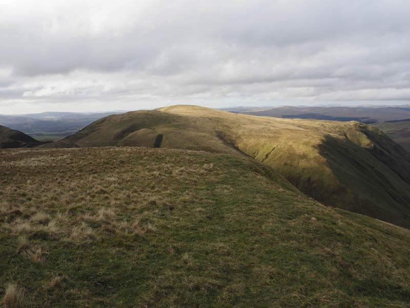
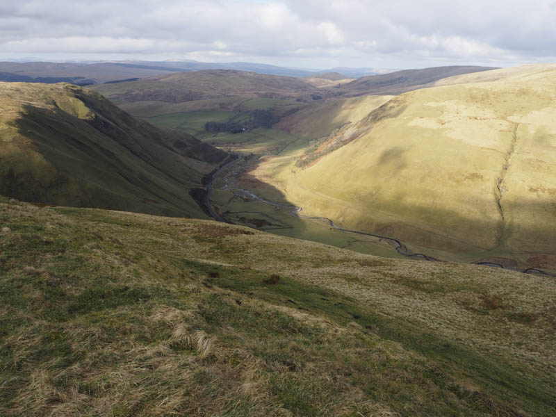
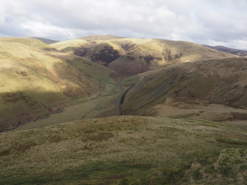
After a break here in pleasant conditions despite a cool breeze I descended south-east through tussocky grass to the col with Well Hill. It became easier underfoot as I climbed Well Hill, the highest point of this Marilyn being beside the fence junction near to the cairn.
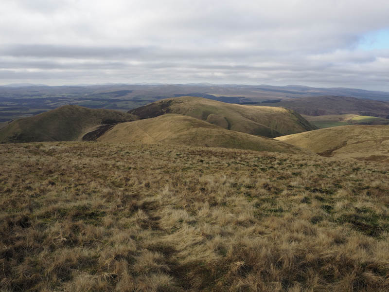
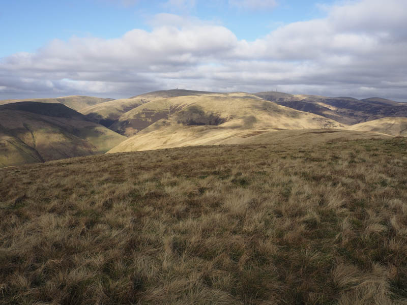
From Well Hill I descended south-west on an ATV track following a fence and old stone dyke. On reaching the col with Turn Hill I continued up the ATV track onto the summit of the Sub Dodd, Turn Hill. The highest point was some grass just north of the track.
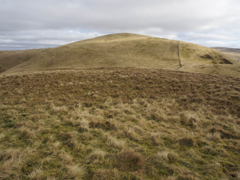
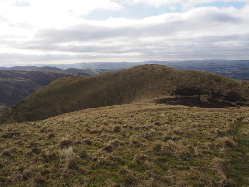
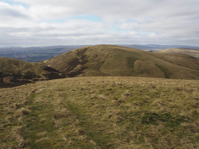
Descended south-west, crossed a stock fence, then through some heather to below Penbane. I then climbed through heather and grass onto the ATV track on the north ridge of Penbane and followed this track to the cairn marking the highest point of this Tump.
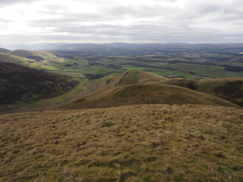
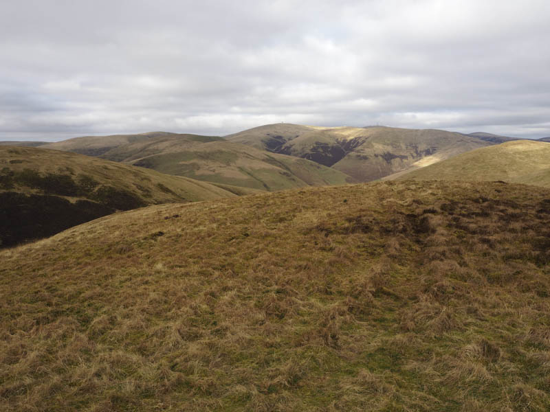
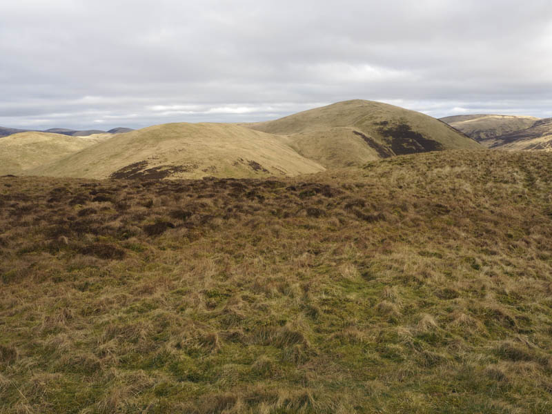
I returned down the ATV track which continued to the col with Black Hill and up the east ridge of this Tump. The highest point was probably ground beside the trig point which appeared to be in a wee hollow.
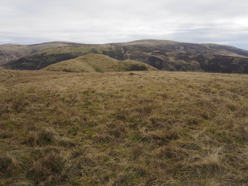
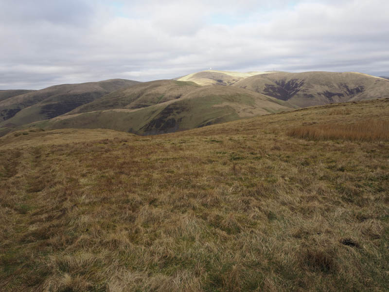
Initially the descent north was easy going but after turning north-east the ground steepened as I descended Black Hill’s pointed ridge back to my car.
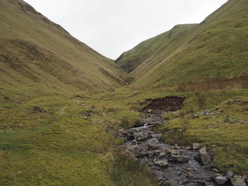
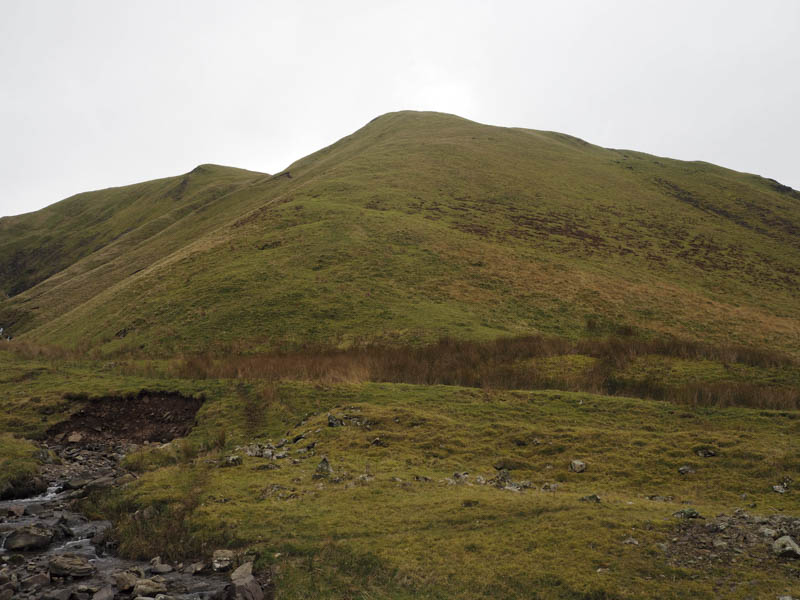
- Time taken – 3.5 hours.
- Distance – 6.5 kilometres.
- Height climbed – 605 metres.