It was a wet and windy morning so I held off until after lunch to venture across the Skye Bridge to Kyleakin. At the roundabout on the A87 at the south side of the bridge I drove south on Old Kirk Farm Road to its end and parked amongst resident’s vehicles.
I walked south through the holiday lets at Old Kyle Farm and to a couple of gates where it appeared that someone had started to create a path but hadn’t got very far. Beyond the gates I crossed a wee stream to a deer fence then walked west to a section that had been knocked down by fallen trees.
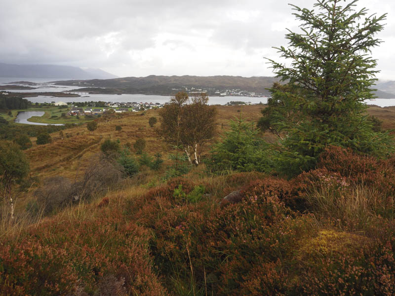
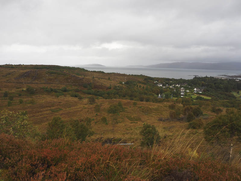
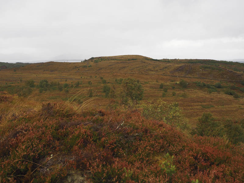
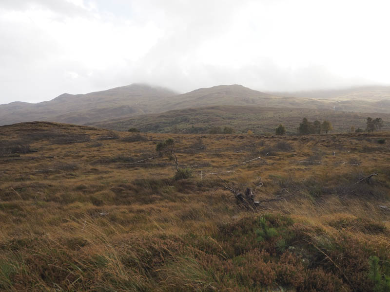
Once over the fence I was into some wicked ground. The vegetation was long, tussocky in places and concealed trenches, holes and pools of water as well as some brash. It was very slow going although higher up there was what may been a path but it was waterlogged in places and short lived. Nearer the summit of Ceann Caol Druim a’ Bhidh the ground had been churned up by forestry operations as new trees had been planted. Eventually I reached what appeared to be the highest point of this Tump, ground below a pile of brash.
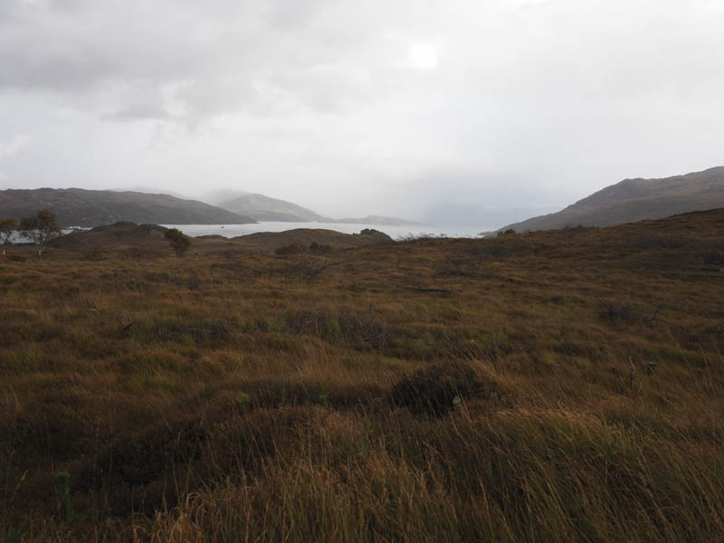
The return was very roughly by the upward route. A one and a half kilometre walk took me 75 minutes!
- Time taken – 1,25 hours.
- Distance – 1.5 kilometres.
- Height climbed – 75 metres.