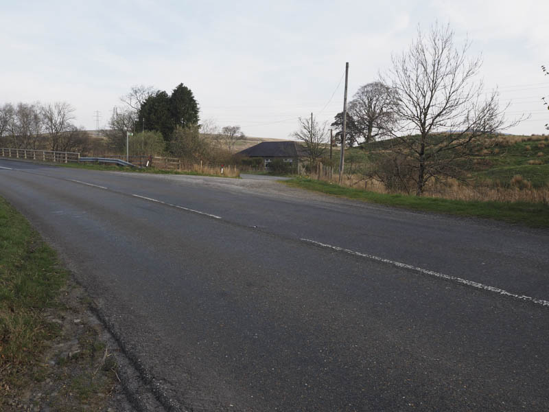
I left my car on the west side of the A713 just south of Deugh Bridge and north of the village of Carsphairn then walked across the road, passed a cottage and onto a vehicle track.
This took me through a field of sheep and lambs and initially along the south bank of a burn.
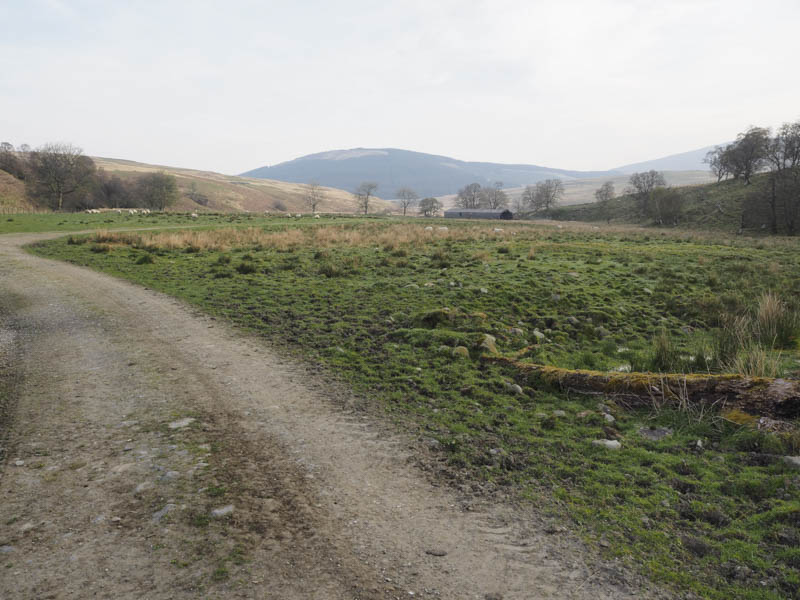
The track later left this stream and continued in a north-easterly direction below Willieanna and Dunool.
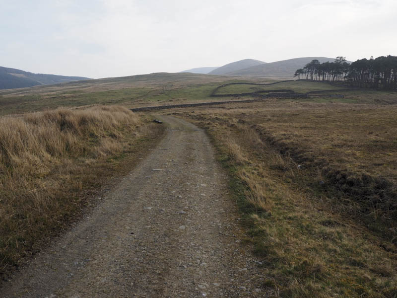
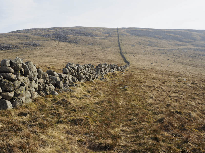
The vehicle track came to an end at a stone dyke which was followed south-east through some damp ground to the footbridge over the Polsue Burn.
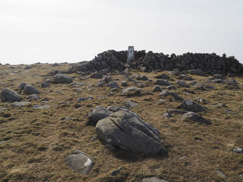
It was then a steady climb along the side of this stone dyke to the summit of Cairnsmore of Carsphairn where there was a cairn and trig point. The highest point of this Corbett was apparently an embedded rock 12 metres to the north-west. As had been the case in the past few days in the south-west of Scotland the views weren’t very good due to a haze.
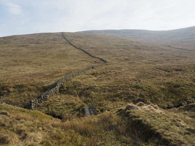
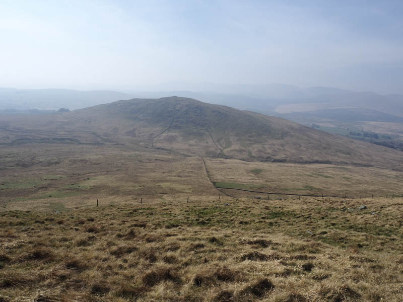
After a break here I descended south then south-west to Black Shoulder later heading west as I made the easy stroll to Dunool. In poor conditions the stone dyke would assist in navigation.
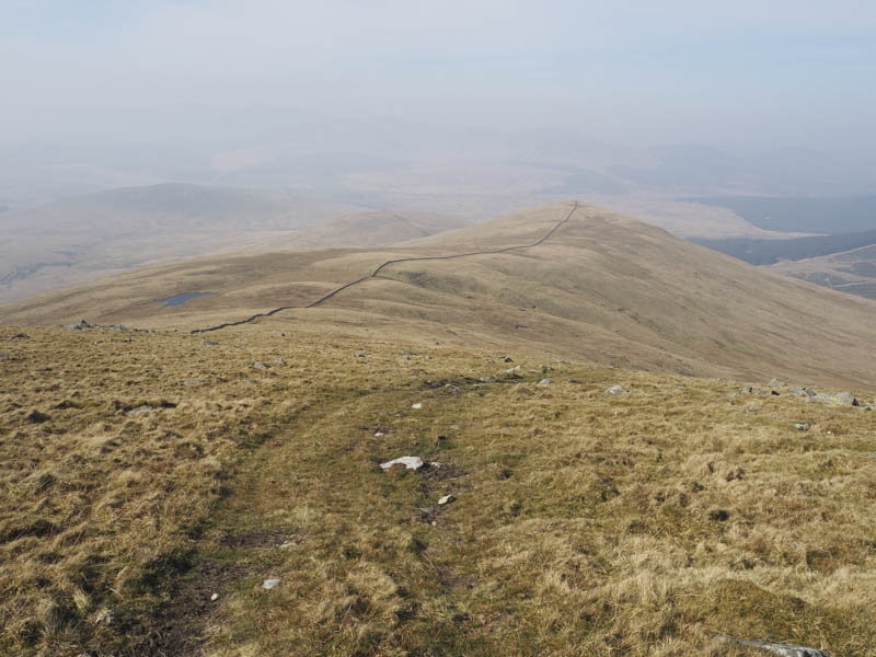
From Dunool I descended to the col with Willieanna where there was a gate of sorts at the junction of stone dykes. I then climbed to the summit of the Willieanna the highest point of this Tump being on the opposite side (east) of the stone dyke I had been following.
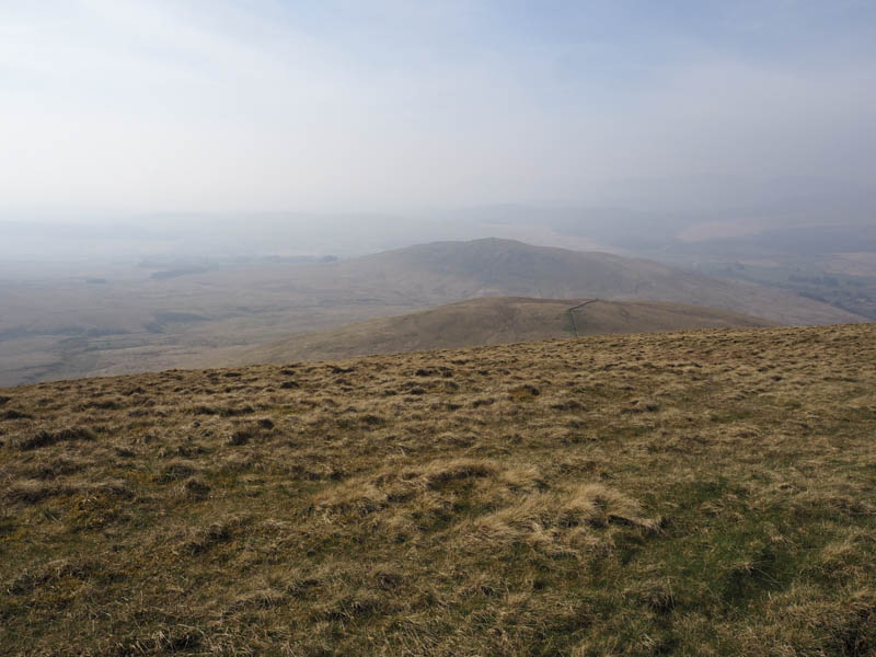
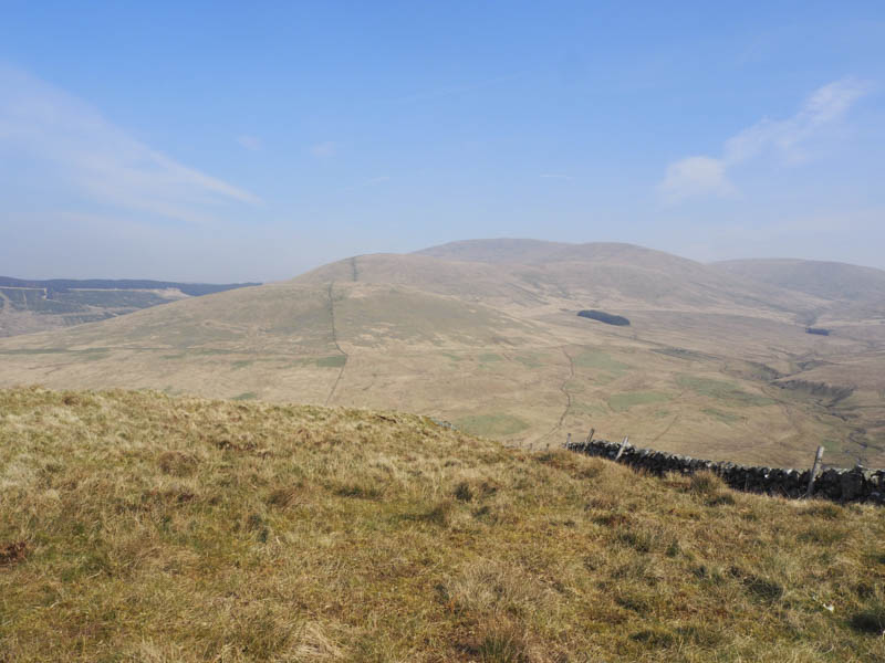
I remained on the east side of the stone dyke as I descended south towards the col with Craig of Knockgray coming across a stock fence which I quickly learned consisted of an electric wire. Once I negotiated this and a further electric fence lower down I reached the Benloch Burn which was easily crossed. It was then a steady climb to the junction of walls marking the summit of the Hump, Craig of Knockgray.
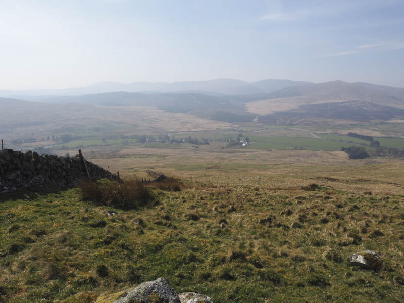
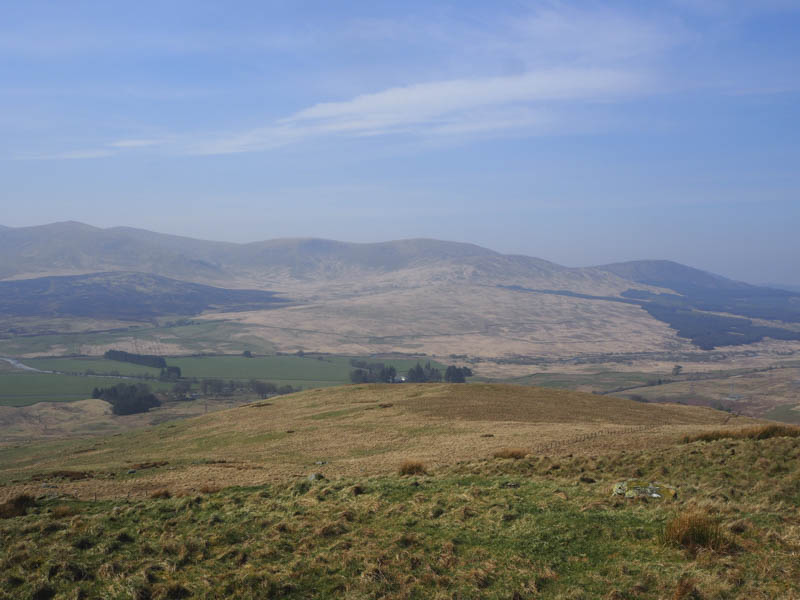
There were more fences to cross as I descended west, latterly through some rough and wet ground, to reach the cottage beside the A713.
- Time taken – 4.25 hours.
- Distance – 12.75 kilometres.
- Height climbed – 825 metres.