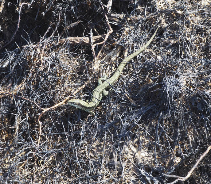
Shalloch on Minnoch and Caerloch Dhu – I left my car in a small quarry on the east side of the unclassified Bargrennan to Straiton Road just south of its high point (Grid Ref NX379934) and set off south-east across the moorland which consisted of heather and grasses. However the ground was soft which made it hard work and I regretted taking this approach route.
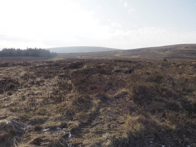
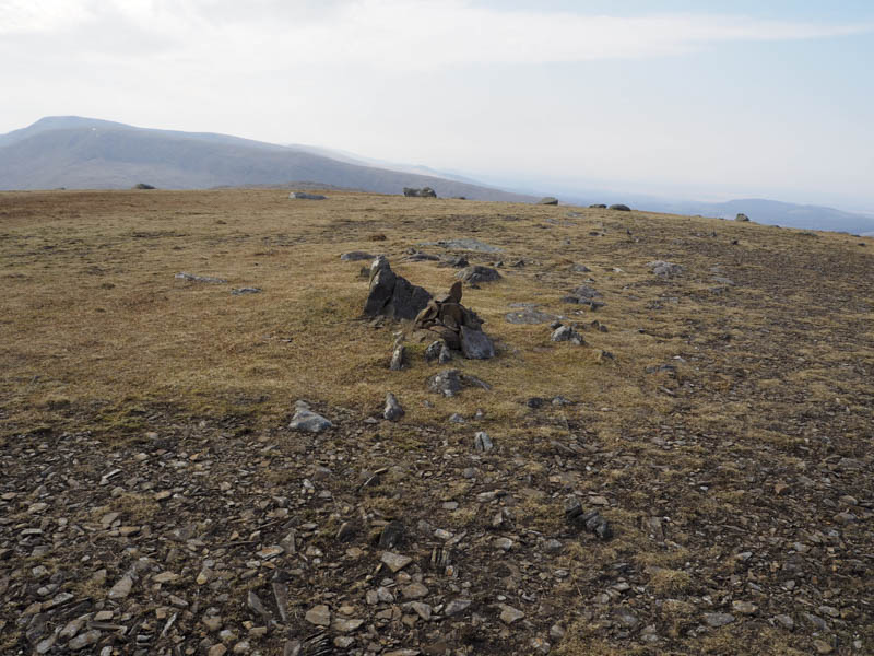
After over a kilometre the ground began to rise and the walking became easier as I ascended the north-west ridge of Caerloch Dhu later joining a walker’s path which led to the summit of this Graham Top marked by a rock beside a small cairn.
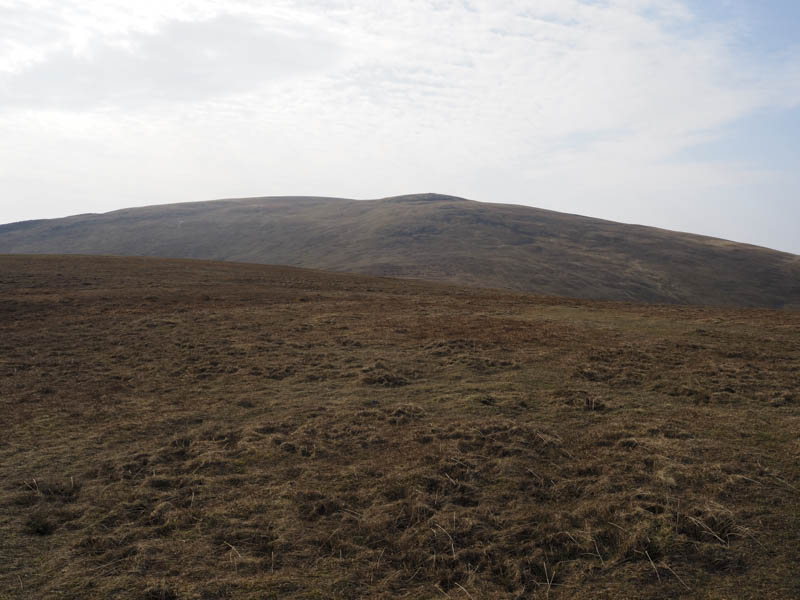
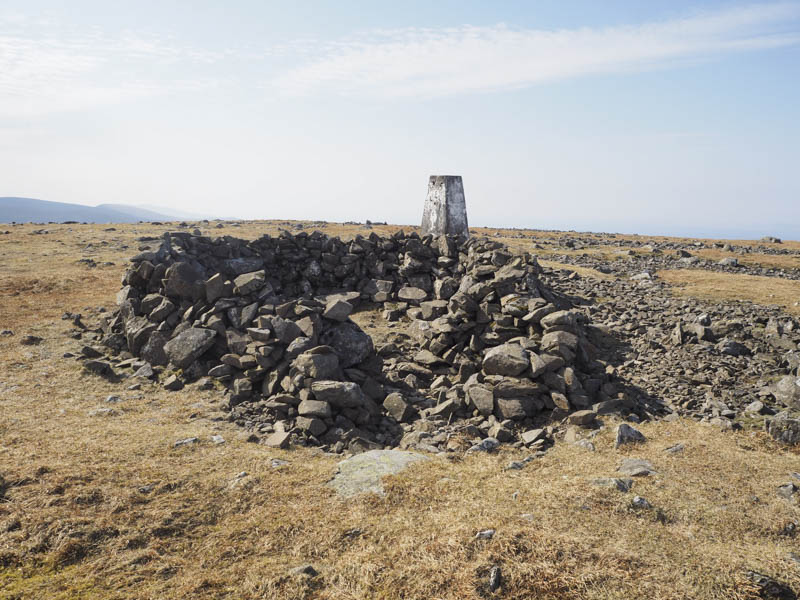
The path continued south to the damp col with Shalloch on Minnoch then up its north face. I avoided the boulders and trig point as I headed to the summit of this Corbett which was a pointed rock beside a cairn over 300 metres ESE of the trig.
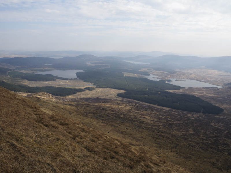
After a break here I walked to the trig point and shelter before returning to the start by the upward route.
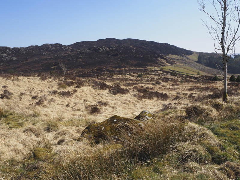
Craiglure – I then drove north to Stinchar Bridge and along the road east from there parking at the side of a forest track to the south of Craiglure. I walked up a fire break to open ground and to the small cairn marking the summit of this Tump. The return was by the ascent route.
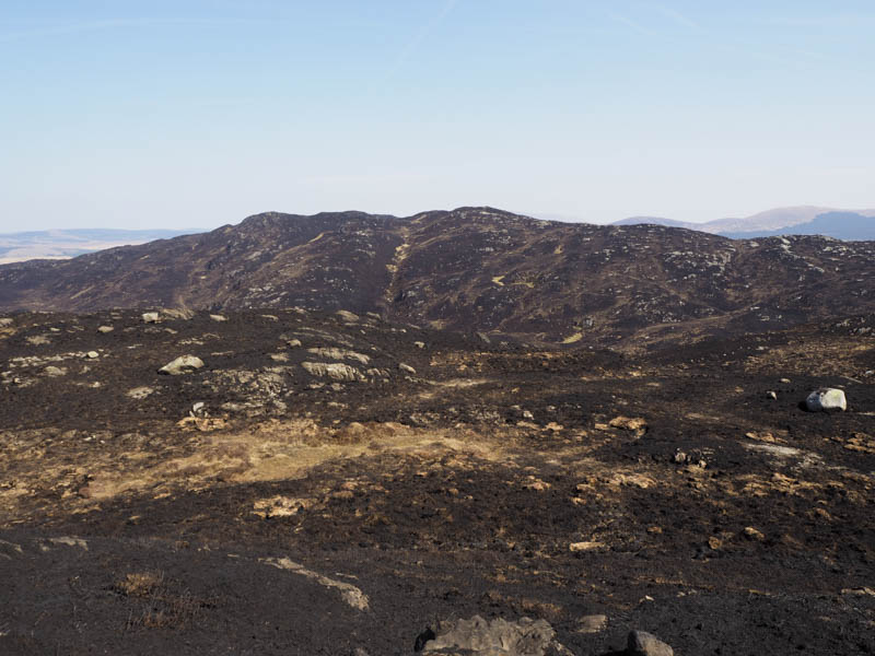
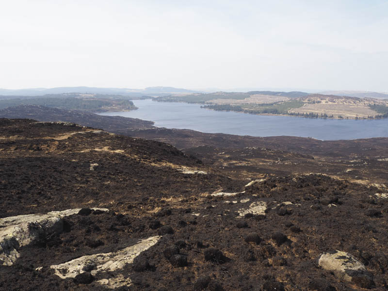
Craigbrock Hill and Waterhead – I moved my car to north of the houses at Ballochbeatties then crossed a short section of rather rough ground to reach a vehicle track. Here I located a marked path that led onto the north ridge of Craigbrock Hill later leaving the path and climbing to the summit of this Tump. The whole area had been burnt as a result of a moorland fire earlier that week.
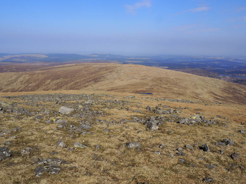
I descended south-east and climbed onto the south-west ridge of Waterhead, which was also burnt, and headed along this undulating ridge.
I then ascended to the old summit before dropping east and climbing to the Hump’s high point.
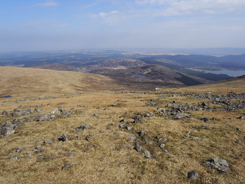
I headed back towards the old summit crossing the ridge to its south before descending to Loch Brechbowie latterly through some awkward ground and rough vegetation. I walked round the north side of this loch, made a slight ascent over Craigbrock Hill’s North Ridge before descending to the old vehicle track I had crossed earlier. This track took me back to the start.
Doon Hill – From west of the Leisure Centre in Newton Stewart paths into and through the trees led to the trig point marking the summit of this Tump. The return was by upward route.
- Total time – 6.75 hours.
- Total distance – 18 kilometres.
- Total height climbed – 795 metres.