Carn Sgumain – I parked at the side of the minor road east of Balnught on the Drynachan to Dulsie Road south-east of Cawdor (NH884401) and walked steeply up a rough vehicle track which later levelled out and soon came to an end at NH883402. I then headed through some birch trees and brash to reach a four strand electric fence which I followed west then north to a gate at NH880404.
Beyond this gate the hillside mainly consisted of heather and due to muirburning over the years was of varying lengths. Eventually I reached what appeared to be the summit of the Hump, Carn Sguman, then retraced my route.
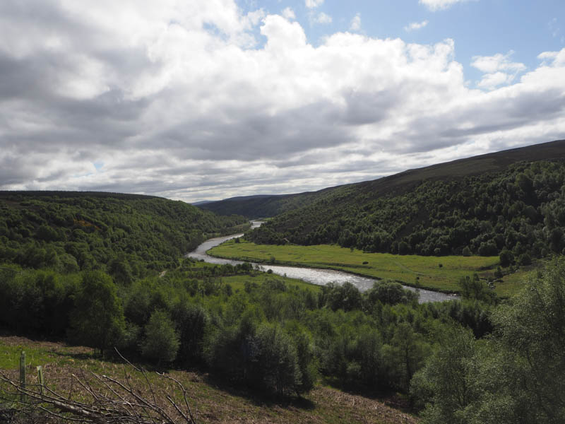
Doune – I left my car in the parking area on the west side of the Dulsie to Burnside Road immediately south of Dulsie Bridge, south-east of Cawdor. I then took the scenic route following a path along the east side of the River Findhorn and later crossing a couple of stiles.
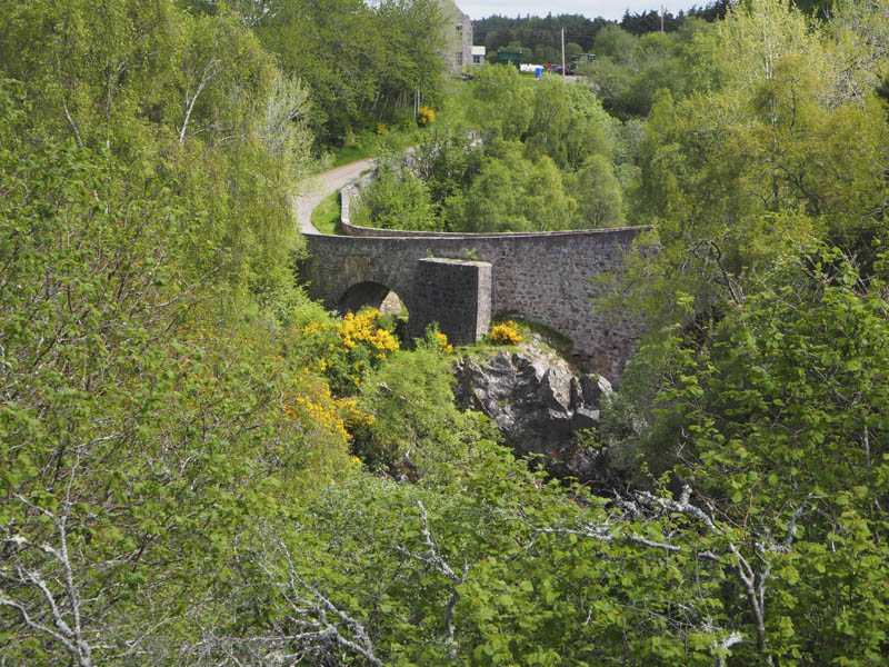
At Dulsie Cottage I headed south along a vehicle track before crossing a couple of gates to enter a woodland where the tees were well spaced. It was a fairly steep climb through new and dead bracken to reach the summit of the Tump, Doune. However despite walking round this old fort I was unable to establish the highest point. I returned to Dulsie Cottage then it was a short road walk to my car.
Hill of Aitnoch – I parked on the verge of the minor road that ran between the B9007 and the A939 west of Little Aitnoch, north-west of Dava.
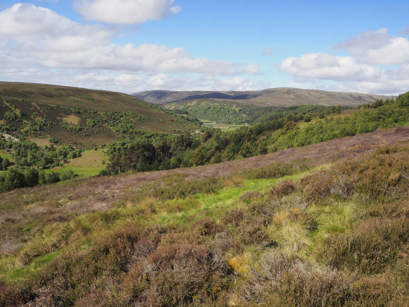
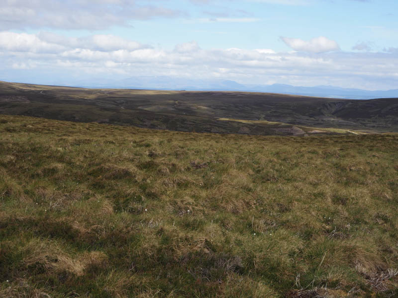
I then walked east along the Old Military Road on the outer edge of a deer fence surrounding a new forestry plantation. On reaching a gate in the deer fence I entered the enclosed area and followed a vehicle track which soon came to an end. With little option I continued across rough ground, its drainage channels and through the saplings. Later I noticed that this new forest didn’t actually cover the whole hill so headed south to the deer fence which I crossed to reach the open hillside. Here the heather was of varying lengths including some long variants. I continued south to an old stock fence and a boulder on its west side which marked the highpoint of the Tump, Hill of Aitnoch.
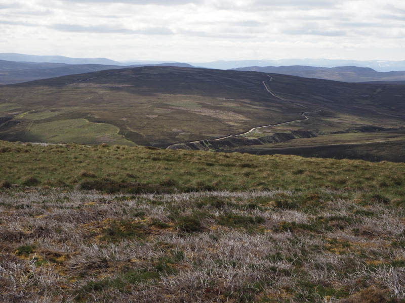
I returned to the edge of the deer fence and followed it east then north before rejoining the Old Military Road. It was in a poor state with deep mud churned up by cattle and overhanging gorse bushes. After passing through a stock gate I came to the point I had left this road so continued along it back to my car.
- Total time taken – 2.75 hours.
- Total distance – 8.25 kilometres.
- Total height climbed – 410 metres.