The starting point and a large part of this route was the same as that usually taken to ascend the Graham, Carn Glas-choire. I parked off road on the east side of the B9007 Duthill to Ferness Road around a kilometre north of the A938 Carrbridge to Dulnain Bridge Road. It was a short road walk to the vehicle track for Auchterteang then along this track to the farm passing several works vehicles. High voltage electric cables were being laid across the hillside leaving a bit of a mess.
Beyond the farm the track continued north-west then north with a deer fence to the west enclosing fir trees. There were also some firs to the east but they were smaller and not as compacted.
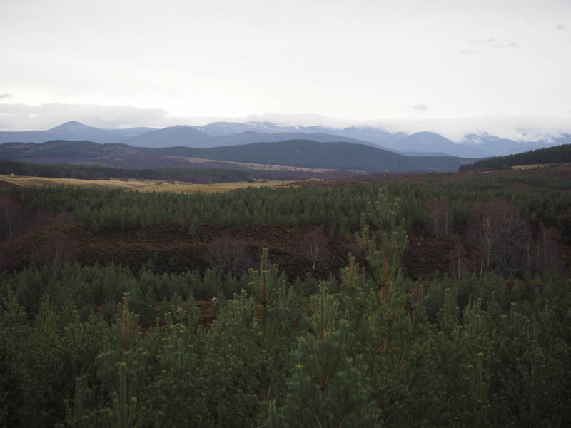
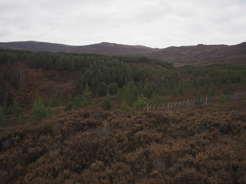
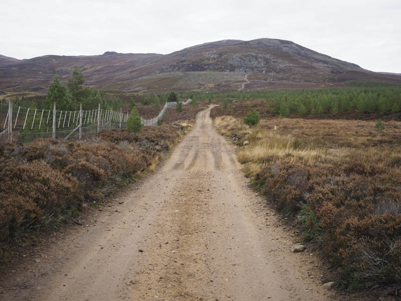
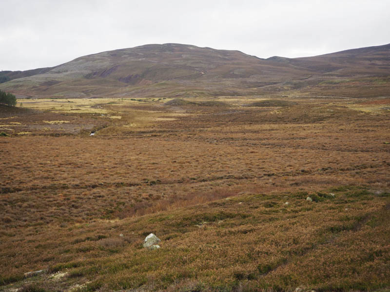
After crossing a second cattle grid I was on the open hillside then at a junction of tracks went left, west, the other track continued onto Creag na h-Iolaire, which would make an interesting walk on its own. The ground around this junction was an ugly scar with numerous boulders exposed as a result of the cable laying.
I passed a ‘shooter’s hut’ and at the next junction I went left, south-west, the other track led towards Carn Glas-choire. My route involved a stream crossing and according to my map the track came to an end at NH904274. There were a few Shielings here and instead of ending the track wound its way west onto Carn na Eagan to NH899275. From there I climbed through some long then later windblown heather onto the summit of Carn na Eagan. The highest point of this Tump appeared to be marked by the cairn.
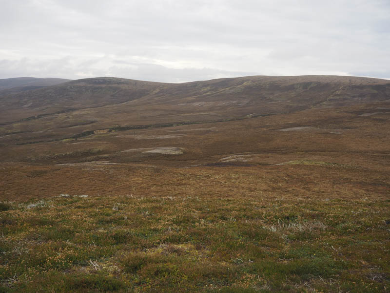
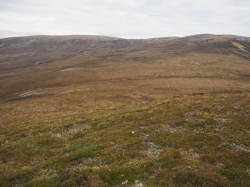
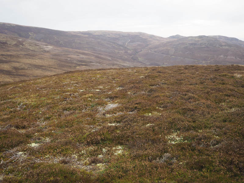
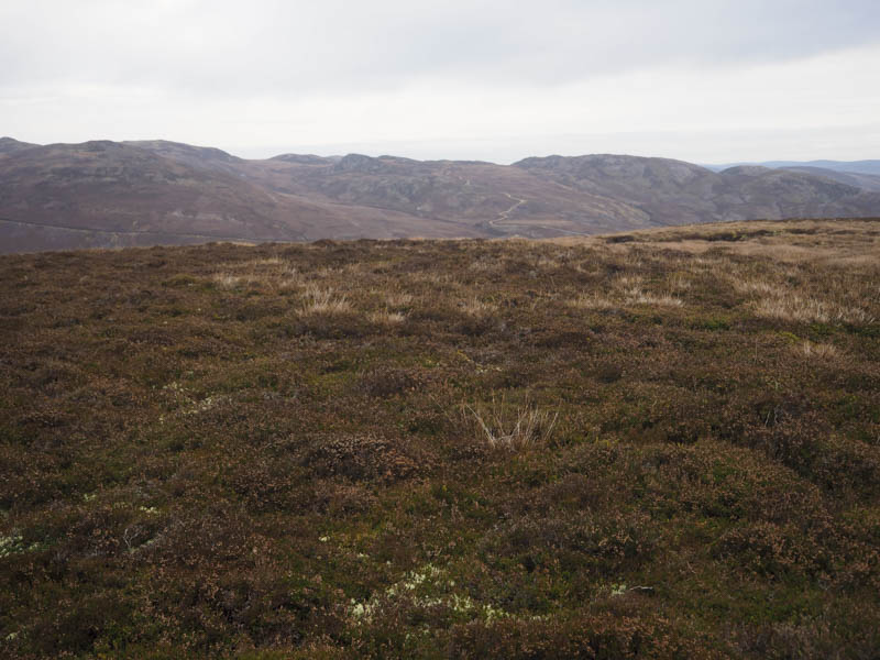
There was a cold wind blowing here so I didn’t linger long and returned to my car by the ascent route.
- Time taken – 3.5 hours.
- Distance – 12.25 kilometres.
- Height climbed – 320 metres.