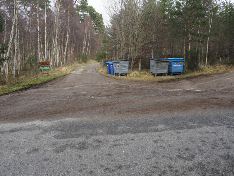
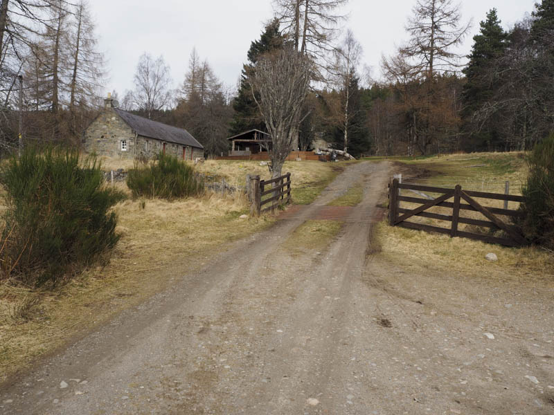
I left my car on the north verge of the minor road east of Nethy Bridge and the access road to Mill of Garlyne and The Crofts of Cairngorm. I then walked back along the road then north along the vehicle track crossing the Allt Mor via a bridge to reach Croftmaquien, part of the Crofts of Cairngorm self catering accommodation business.
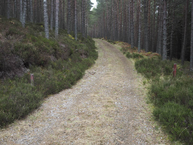
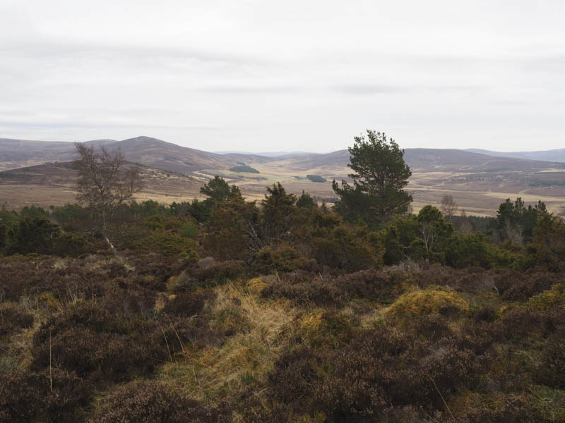
Beyond this property I walked north-west then north-east along little used forest tracks to the col between Craigmore and Carn na Loinne.
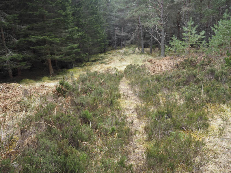
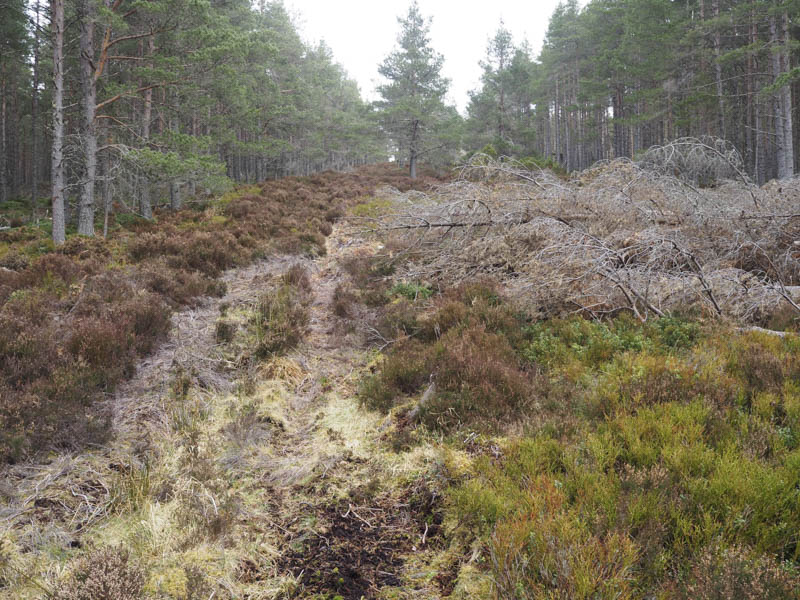
Here a firebreak, with a few fallen trees, led towards the Hump, Carn na Loinne.
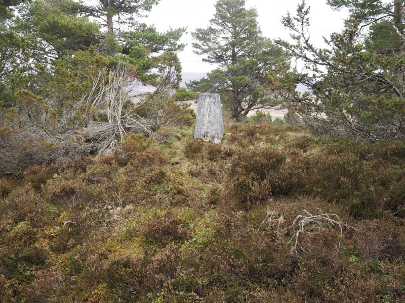
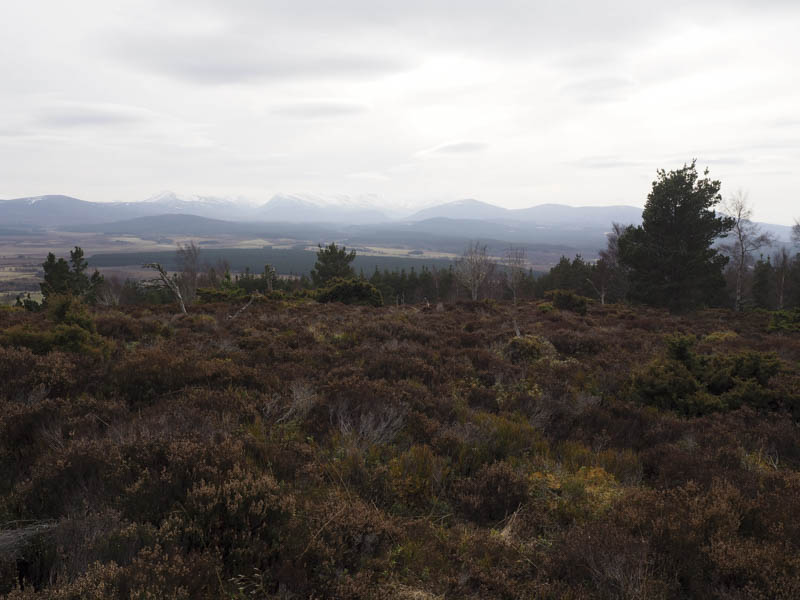
The summit trig point was located amongst some long heather and a few trees.
I descended east then south to join forest tracks that eventually took me to Blairgorm Farm and the minor road east of where I had left my car.
- Time taken – 2 hours.
- Distance – 6.25 kilometres.
- Height climbed – 235 metres.