The plan was to climb the Hump, Carn Meadhonach. There was a choice of starting points, Delnabo, south of Tomintoul, or the A939 Grantown on Spey to Tomintoul Road at Bridge of Brown on the Moray/Highland boundary. I settled for the latter parking off-road beside the hairpin bends just east of Bridge of Brown.
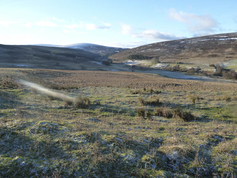
I walked south along the track on the east side of the Burn of Brown, a Right of Way to Tomintoul and Delnabo. As well as used by walkers the track was utilised by cyclists as one of the Glenlivet cycle routes.
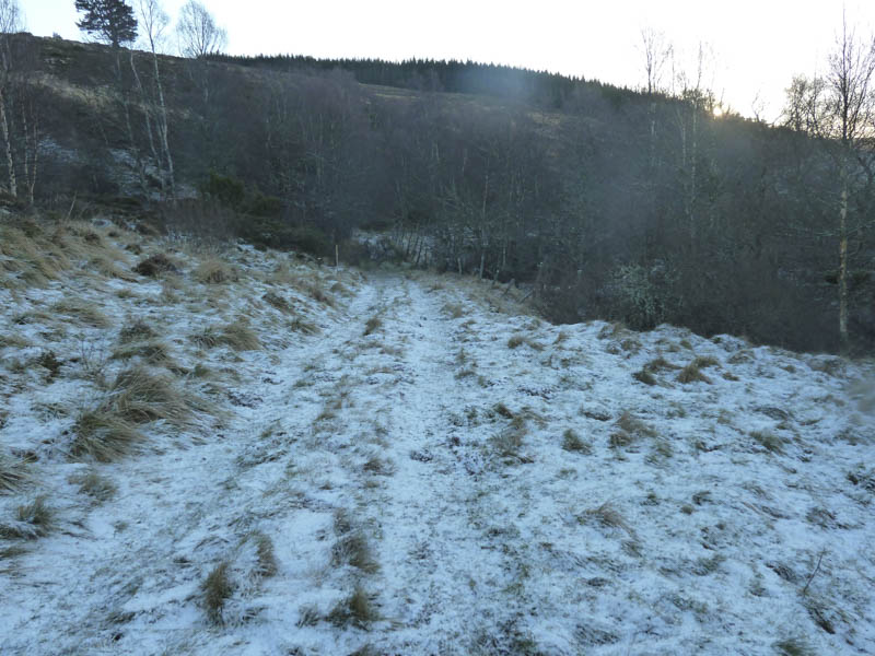
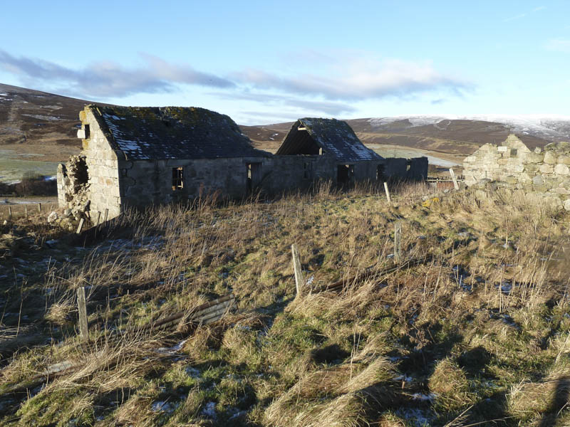
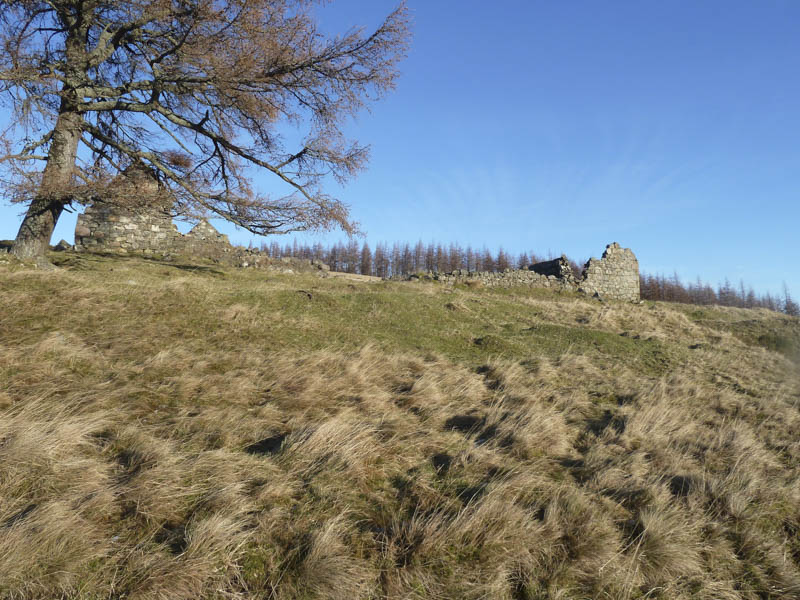
The track was rutted with sections of ice and led to a stile and gate which gave access to a short section of forest. The walking here was easy but that changed once beyond a second gate and stile and the shelter of the trees. Some height was then gained to reach the ruined buildings at Tombreck North Farm.
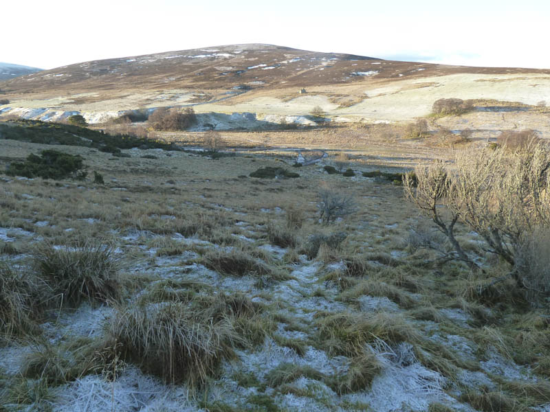
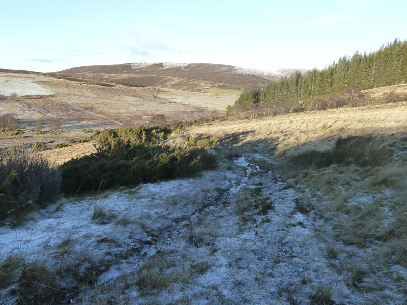
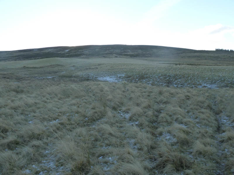
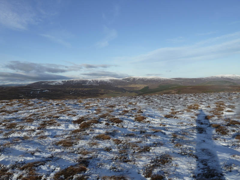
Rather than continue to the ruins at Tombreck South Farm losing a bit of height on what was now an indistinct path I headed south across a couple of fields and a fence to reach the vehicle track running across the lower slopes of Carn Meadhonach. This track had recently been upgraded probably to extract timber from a nearby forest. Animal trails were then followed through heather and juniper to gain Carn Meadhonach’s North-West Ridge where there was some ice and a light covering of snow.
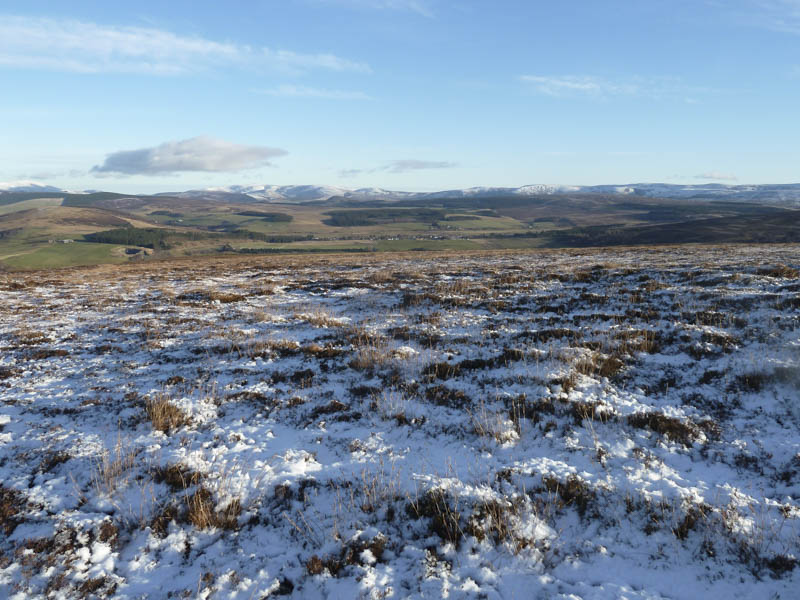
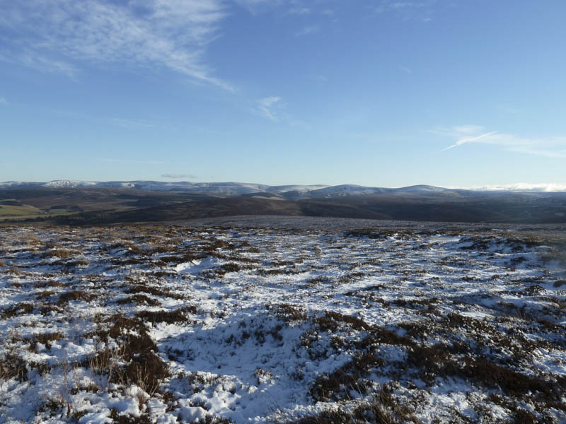
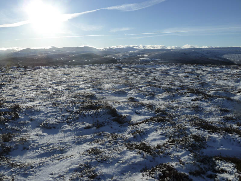
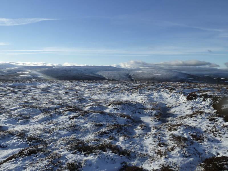
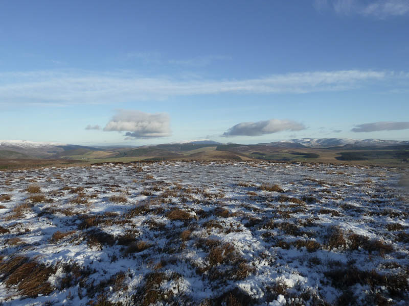
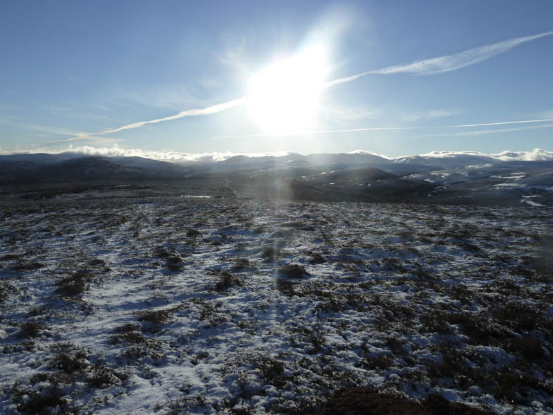
The windy summit of Carn Meadhonach was reached, the highest point apparently being ground beside an old fence post.
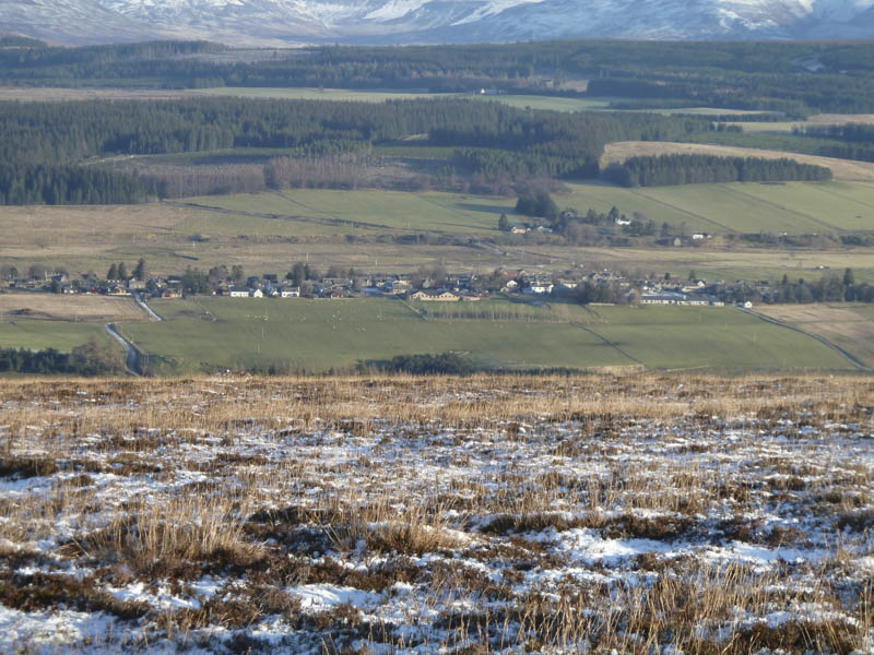
A low sun was a problem while taking a few photos and a herd of deer feeding just to the south took a few minutes to note my presence before disappearing. I found a bit of shelter to sit and take in the views across Tomintoul to the Ladder and Lecht Hills.
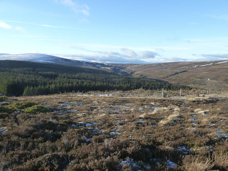
The descent was by my initial upward route then to the ruin at Stronachavie before crossing a couple of fields to rejoin the track at North Tombreck. From there it was just the case of following the track back to Bridge of Brown.
- Time taken – 2.5 hours.
- Distance – 7.25 kilometres.
- Height climbed – 310 metres.