The start of this walk was the car park on the south side of the River Callop accessed from the A830 Fort William to Glenfinnan Road immediately west of the railway underpass. On setting off I walked south on the tarred road to Callop Cottage and the small power station then along the vehicle track towards the Allt na Cruaiche Dam.
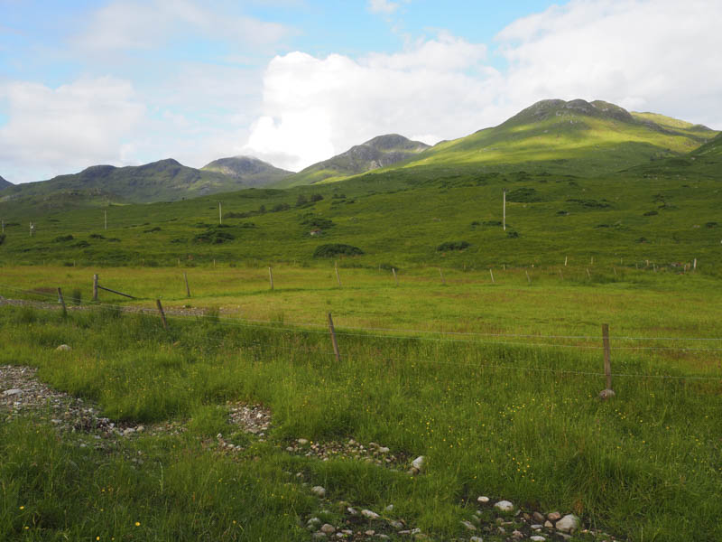
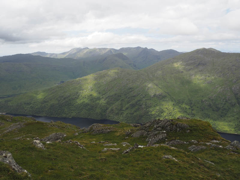
Part way along this route and at the Allt an Fhaing I located a rather wet and boggy quad vehicle trail which headed west above this stream. At a tributary the trail turned south and later disappeared. There was then some rough walking as I headed onto the east ridge of Sgorr nan Cearc but at least underfoot it was drier.
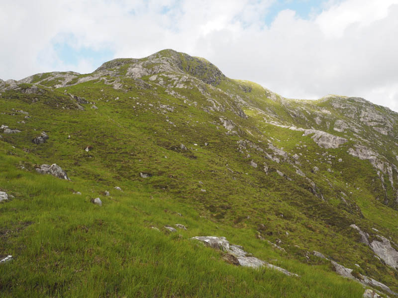
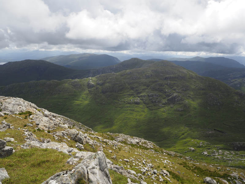
It was warm and humid and took me a while to ascend this Graham Top which consisted of some rocks and boulders.
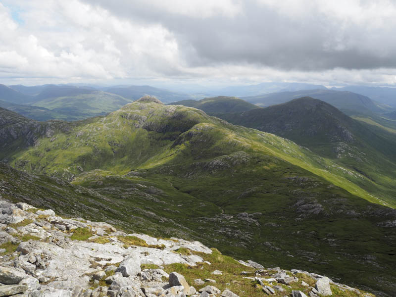
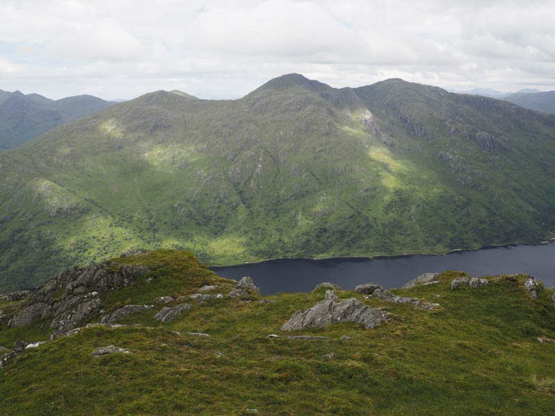
From Sgorr nan Cearc I descended south-west then made the short ascent to the summit of the Graham Top, Meall Doire na Mnatha. Here I took a break but it was short lived due to the midges so I headed down the rough south ridge to the col with Sgorr Craobh a’ Chaorainn. It was then a fairly steady climb avoiding most of the rock and boulders to reach the summit of this Corbett.
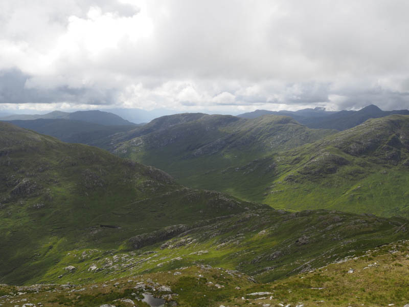
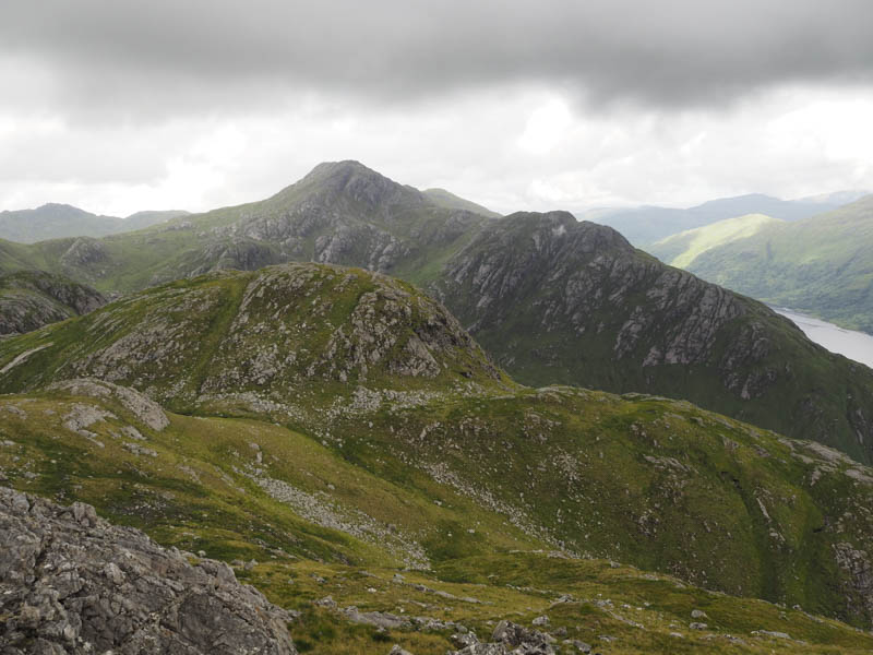
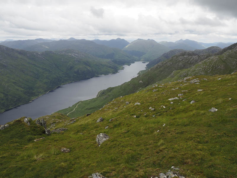
Getting off this summit was a bit tricky so I descended north for several metres before working my way below the crags then headed south-west to the col with Sgurr Ghiubhsachain before climbing this Corbett keeping to the west of the rock slabs.
I hadn’t planned to include the Graham Top, Meall nan Creag Leac, but it didn’t look too far away so I descended south-west then made the easy walk to its summit cairn.
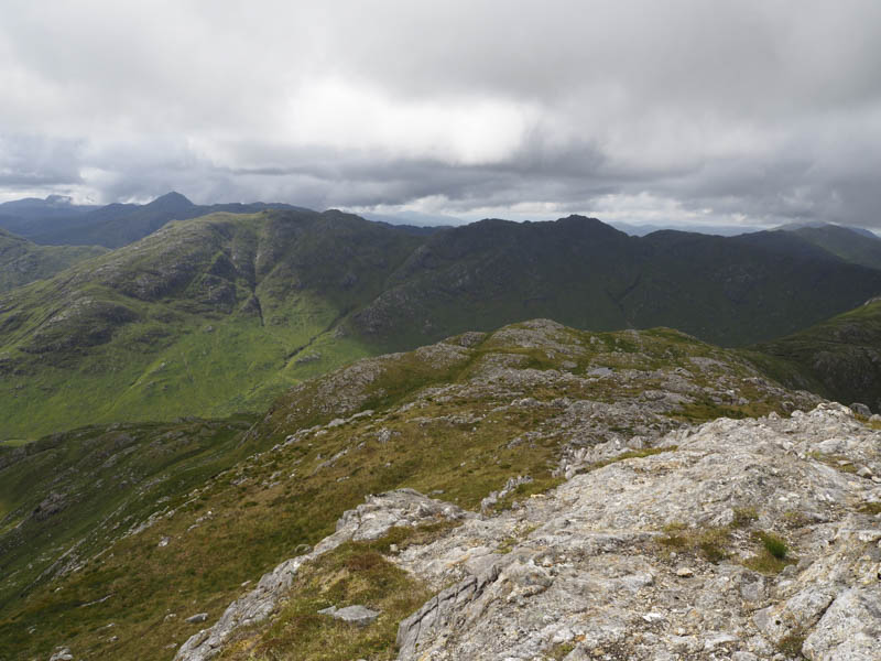
However the downside was that I had to re-ascend Sgurr Ghiubhsachain as I still had another Graham Top in mind.
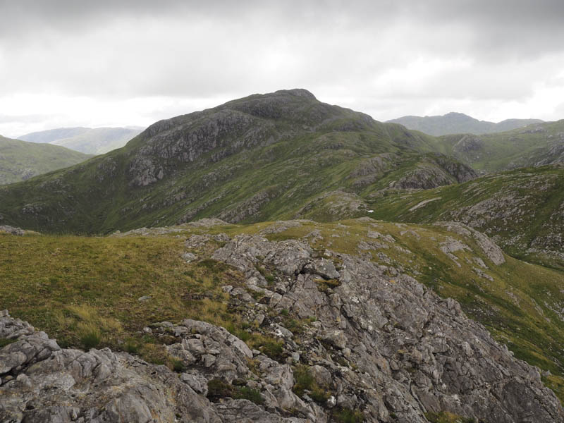
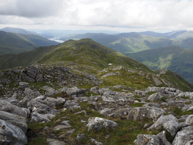
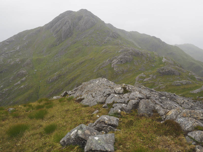
The descent via the north ridge of Sgurr Ghiubhsachain was fairly steep with numerous crags and light rain making things a bit slippery. Part way down I climbed over the Graham Top, Meall a’Choire Chruinn, where I visited three different points as I couldn’t tell which was the highest. The descent then continued on the same vein as earlier with numerous rocks and crags to work my way round making for slow progress.
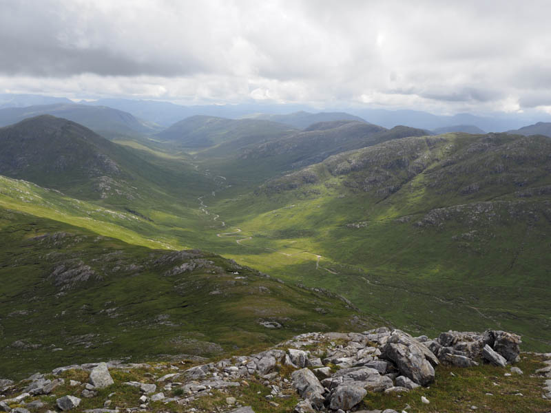
Lower down there were traces of a walker’s path which in the long vegetation wasn’t always easy to follow but eventually I reached the fish farm at Guesachan. There was also a new power station here so the adjoining ground was recovering from being dug up.
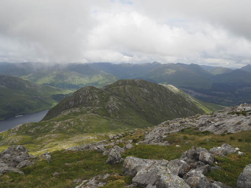
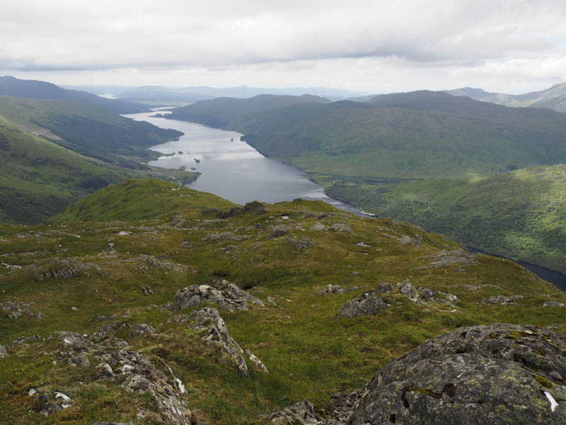
From the fish farm I followed the vehicle track north-east along the east shore of Loch Shiel until near the north end of the loch where the track continued above the south side of the River Callop to the car park where I had left my vehicle.
- Time taken – 10 hours.
- Distance – 21.25 hours.
- Height climbed – 1575 metres.