I met my walking partner at the camp site in Brora then drove north up the A9 to immediately south of Dunbeath then west along the minor single track road with its numerous pot holes to the road end at Braemore. Here I left my vehicle in the small parking area immediately before the bridge over the Berriedale Water.
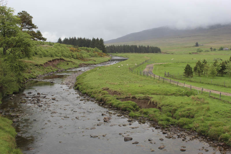
We walked across the bridge then west along the vehicle track following the signed route to avoid the properties at Braeval.
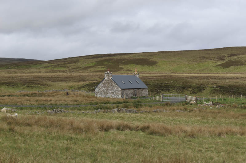
The vehicle track was in good condition and had been improved for access to the old habitation at Corrichoich which has recently been renovated. It was a fine bright morning.
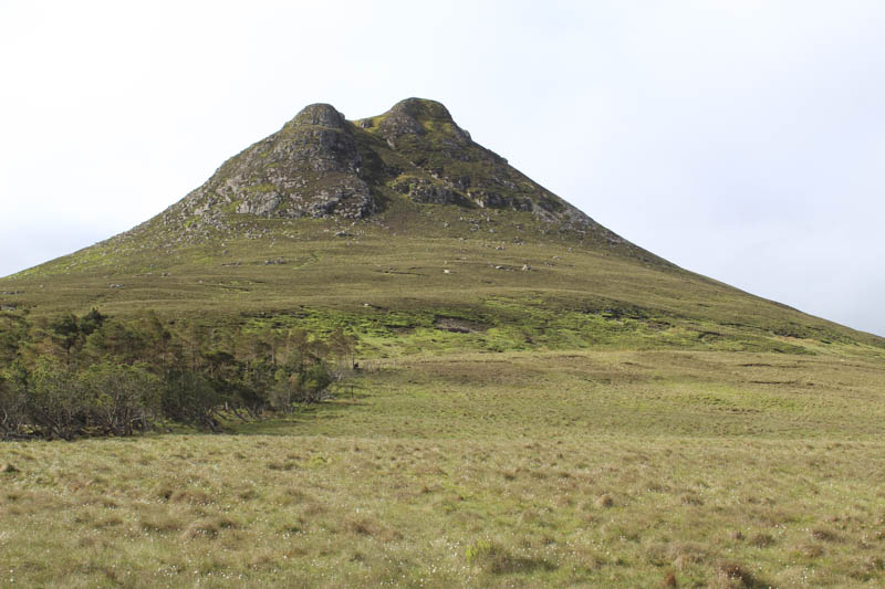
The vehicle track ended here to be replaced by a peaty path which continued WSW gaining a bit of height before turning south-west and disappearing amongst the longer mixed vegetation. On reaching the south-east side of Morven at a height of around 330 metres we stopped for a fuel break.
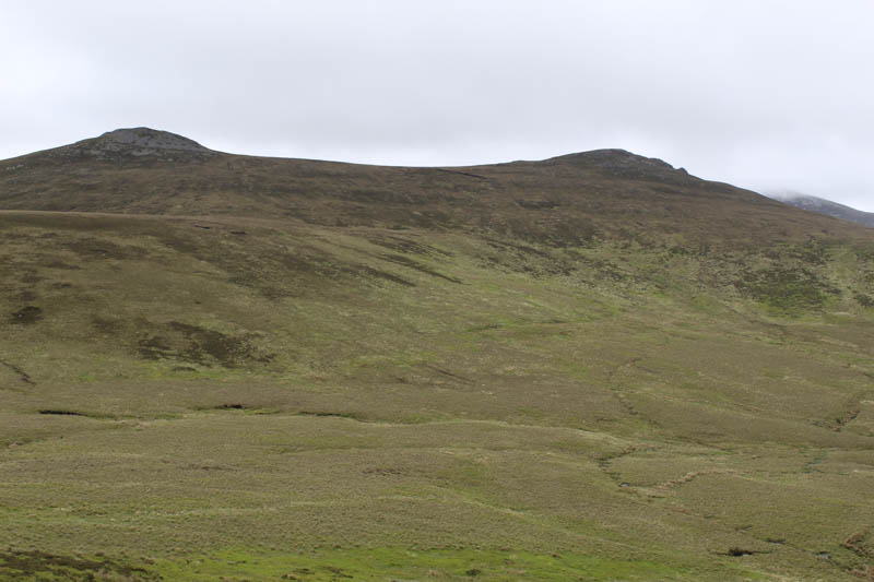
Afterwards, as low cloud started to engulf the hills, we continued the ascent of Morven. It was a steep climb through the vegetation but higher up we came across a peaty path. The gradient didn’t ease then in light drizzle which later got heavier we crossed some boulder fields. A rocky crag appeared out of the mist but the path by-passed it to the left and led to the cairn. The highest point of this Graham was a rock two metres to the north.
We returned by the upward route, out of the low cloud, and continued in a south-easterly direction across pathless ground.
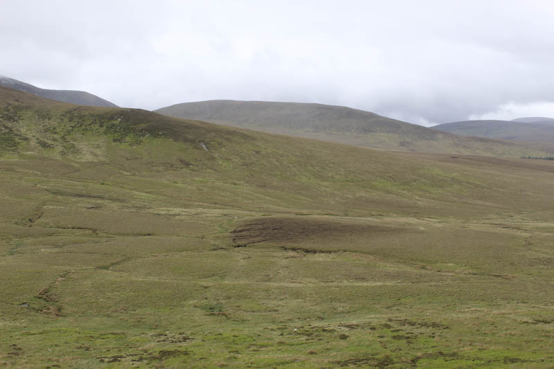
After the steep ascent of Morven the walking seemed easier despite the tussocks and marshy ground. We crossed the Allt Preas Bhealaich and the lower reaches of the south-west ridge of Smean, still giving some reasonable walking, then deer tracks led towards the col between Smean and Sal-vaich. My camera stopped working probably due to getting wet.
The drizzle had almost ceased so we stopped for lunch and discussed our plans for Scaraben. Afterwards my walking partner continued to the col planning to avoid any additional hills while I headed SSE through rough vegetation, crossing tributaries of the Allt na Conlaich, to the foot of Sail-vaich. It was a steady climb, mostly through heather, onto the west ridge and into the low cloud. The walking became easier as I headed to and reached the cairn on a knoll marking the summit of the Hump, Sail-vaich.
Initially the descent took me east but as the gradient steepened swung north-east to the Allt na Luig and briefly out of the cloud. From there I climbed east then steeply south onto the south-west ridge of Sron Gharbh. Higher up this ridge stony ground was crossed to reach the large cairn marking the summit of this Graham Top.
The ground was still fairly stony as I descended east to the col (Glac na Gaoibhre) with Scaraben and had just commenced its ascent when I heard a shout from my walking partner. As I turned I saw him appear out of the mist metres behind me. Together we made the ascent of Scaraben across easy ground and to the trig point, located within a shelter, marking the summit of this Graham.
I wanted to include the Tump, East Scaraben, but didn’t have sufficient time as the A9 at the north end of Brora was due to close at 7pm for overnight road works, with hourly slots to allow traffic through. On reaching the col (Cadha an t-Sagairt) with East Scaraben we descended north, out of the cloud, following an ATV track/path which was faint in places and would have been boggy if it hadn’t been for the recent dry spell of weather. This took us to a gate in a deer fence, passed the east side of a house, and onto the track on the south side of Berriedale Water a short distance east of the bridge and the parking area.
We reached Brora with twenty minutes to spare.
- Time taken – 9 hours 10 minutes.
- Distance – 21.25 kilometres.
- Height climbed – 1240 metres.