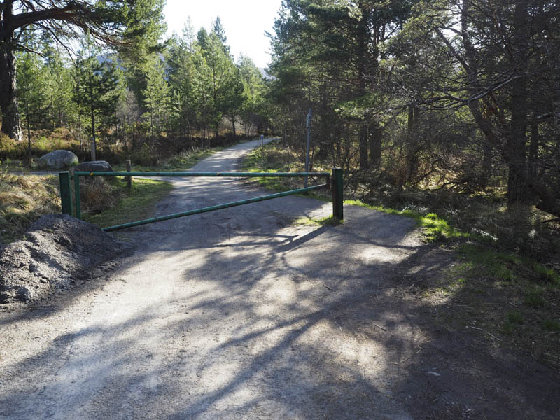
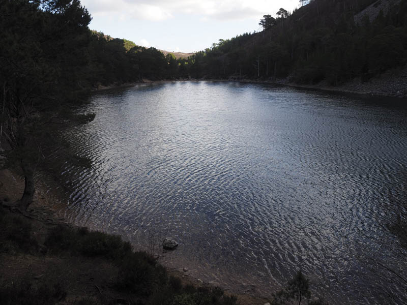
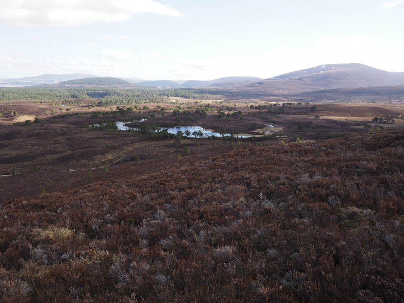
I parked at the end of the public road just beyond Glenmore Lodge, accessed from the Cairngorm Ski Road, and walked east along the vehicle track to An Lochan Uaine and the junction with the route to Ryvoan Bothy.
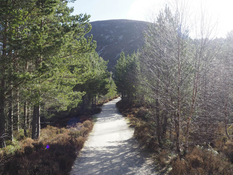
At this split in the track I headed along the route towards Strath Nethy but soon left the track and commenced the ascent of the Graham Top, Creag nan Gall.
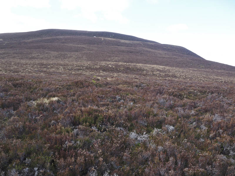
It was tiring walking through the long heather then some soft mossy vegetation before more heather. Eventually I reached the summit cairn but it was too windy to hang about so I descended south following a path to locate some shelter behind a boulder for a short break.
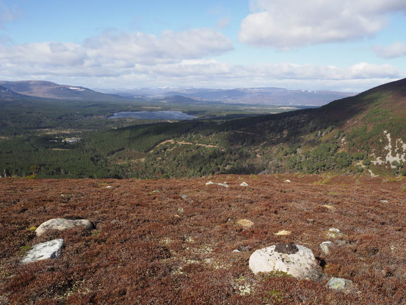
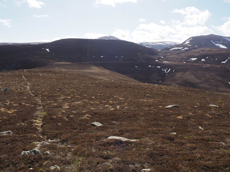
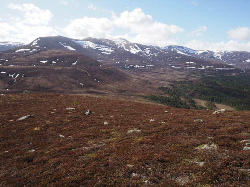
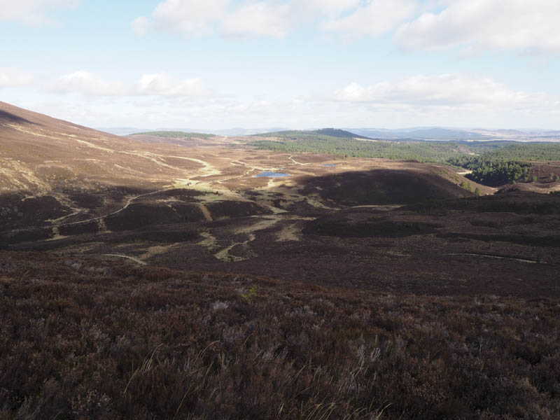
Afterwards I continued along this path which disappeared amongst some grassy vegetation in the region of the col with Stac na h-Iolaire. More long heather was encountered as I commenced the ascent of this Graham Top but the gradient soon eased a bit and the heather was then shorter and windblown. There were now good views of Bynack More, Cairn Gorm and Lurcher’s Crag.
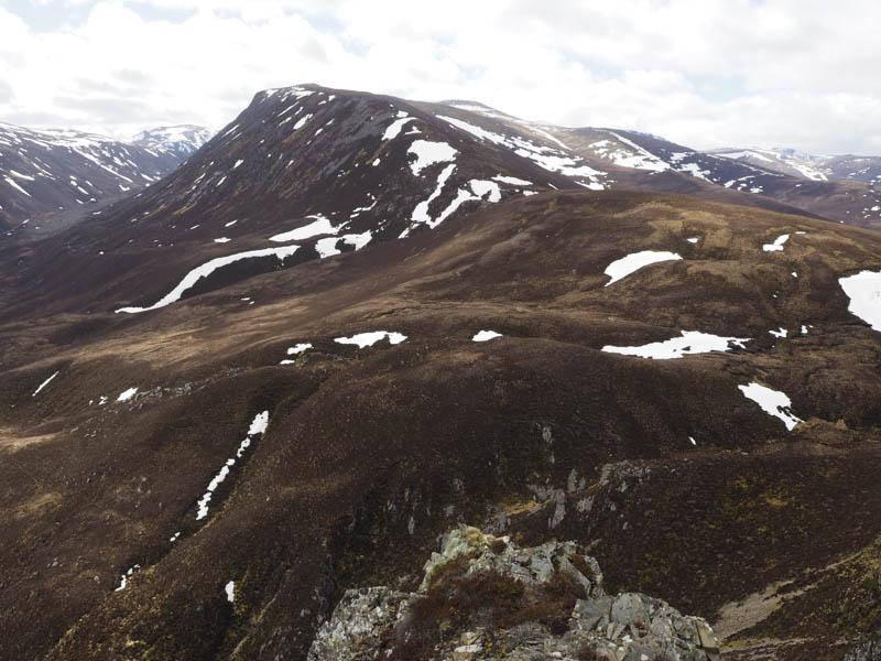
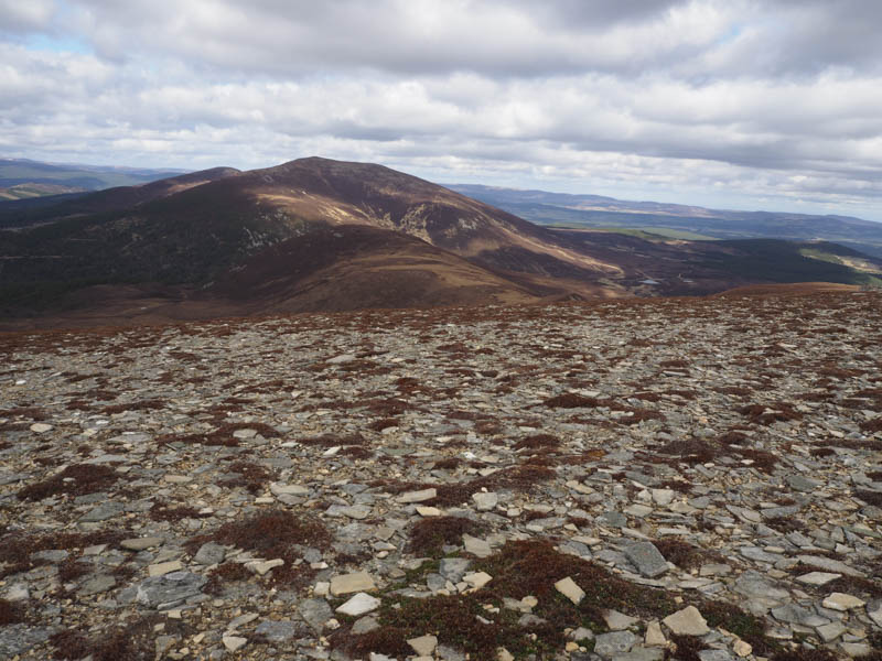
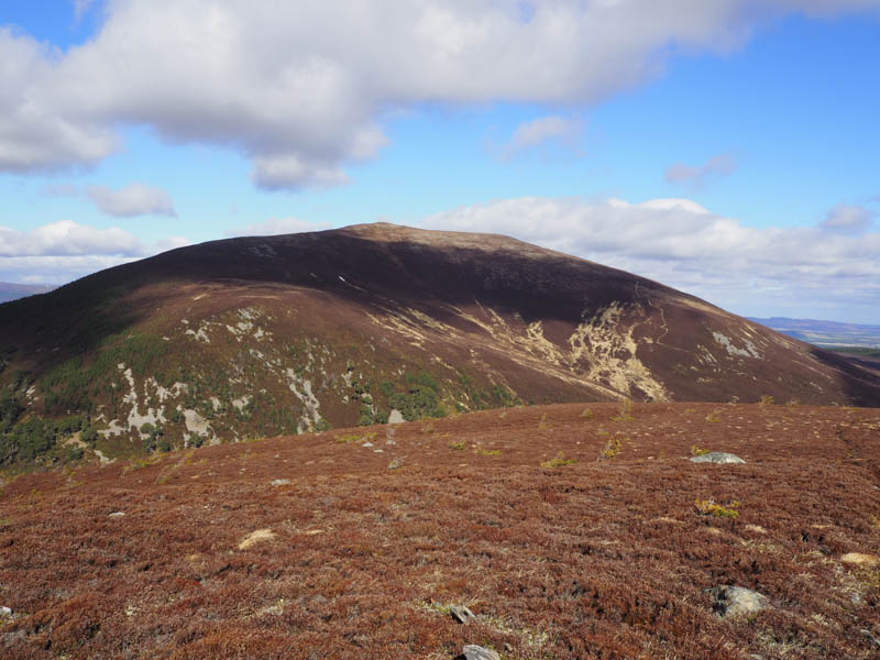
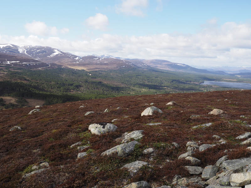
The summit of Stac na h-Iolaire, positioned above some rocks, was reached and although marked by a cairn the highest point was apparently two metres to the north. From here I descended south-west and commenced the ascent of the Sub Simm, Carn Lochan na Beinne, where more long heather was crossed to reach its summit. There was a cairn but the ground seemed higher to the south.
I descended north-west initially on short heather but below Creag nan Gall and in particularly through the Caledonian Pine Trees it was tough going. Eventually I gained the track used earlier that day and followed it back to the start.
- Time taken – 4.25 hours.
- Distance – 10.75 kilometres.
- Height climbed – 530 metres.