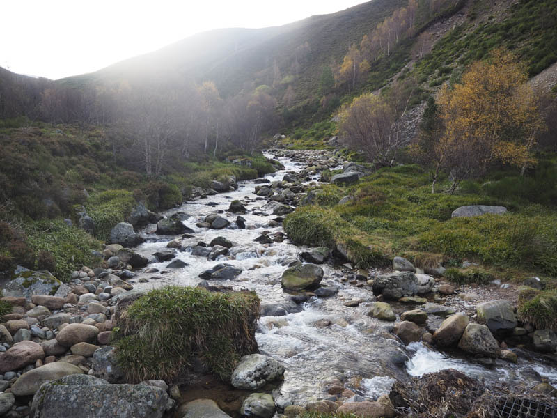
Creag a’ Chalamain and Airgoid-meall: Parked at the side of the road leading to the Cairngorm Ski Centre, opposite the Sugar Bowl Car Park, and walked down the path to the footbridge over the Allt Mor.
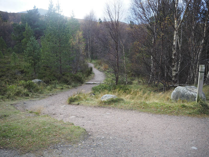
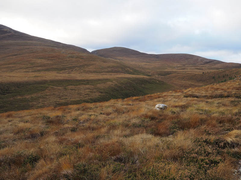
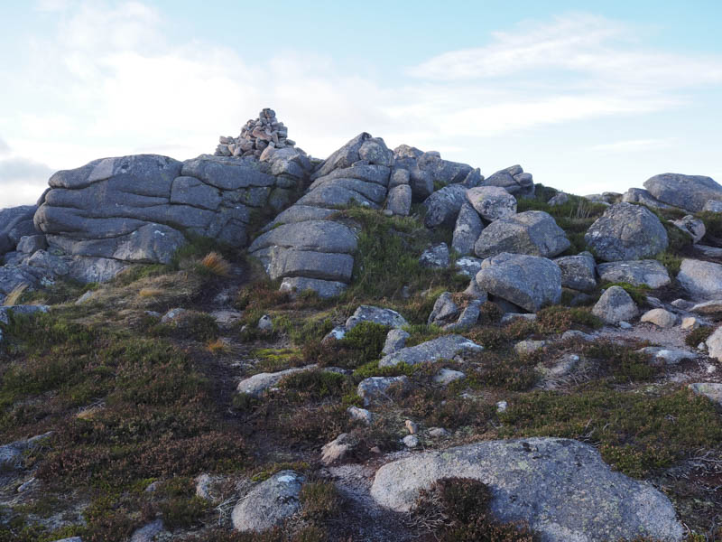
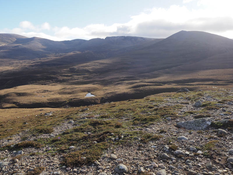
Thereafter I followed the path to the entrance to the Chalamain Gap where I left it and climbed to the rocks marking the summit of the Corbett Top, Creag a’ Chalamain.
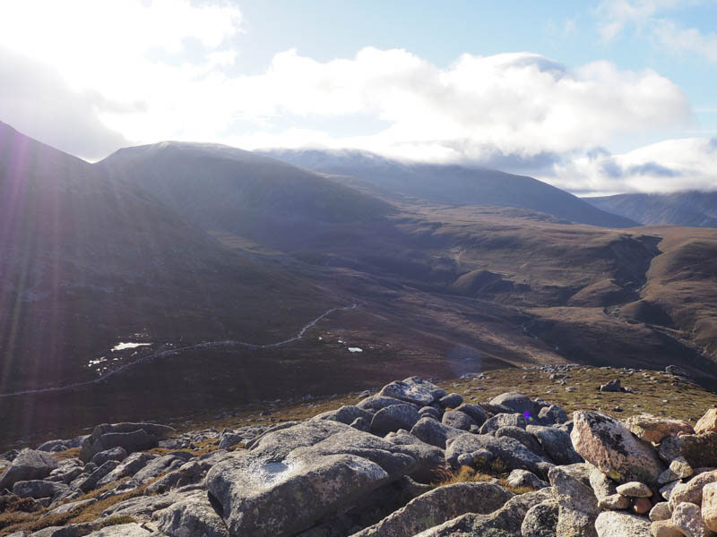
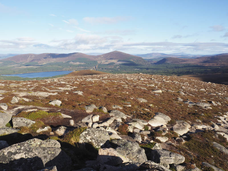
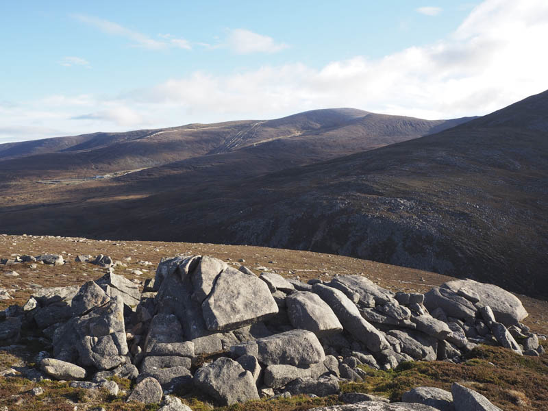
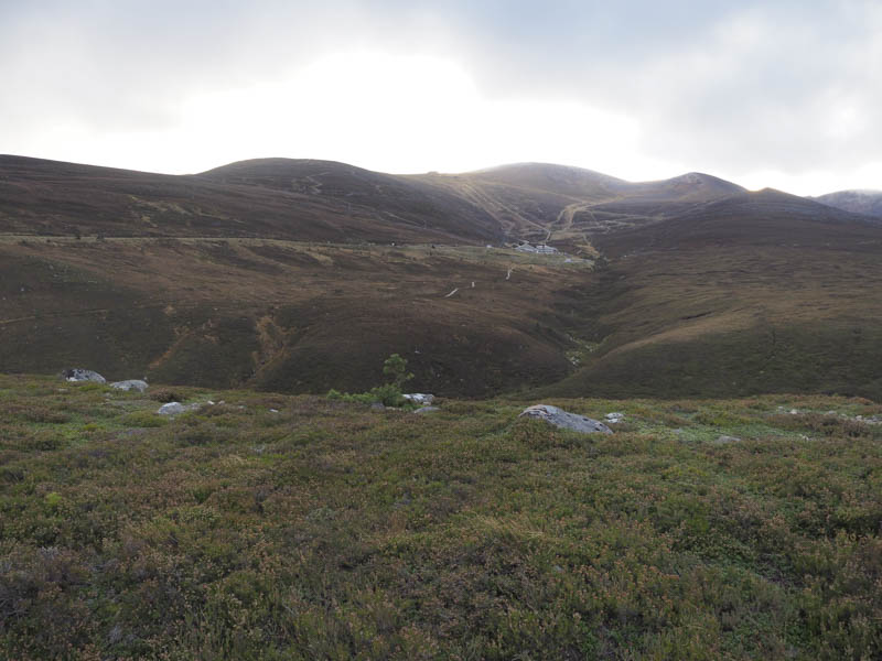
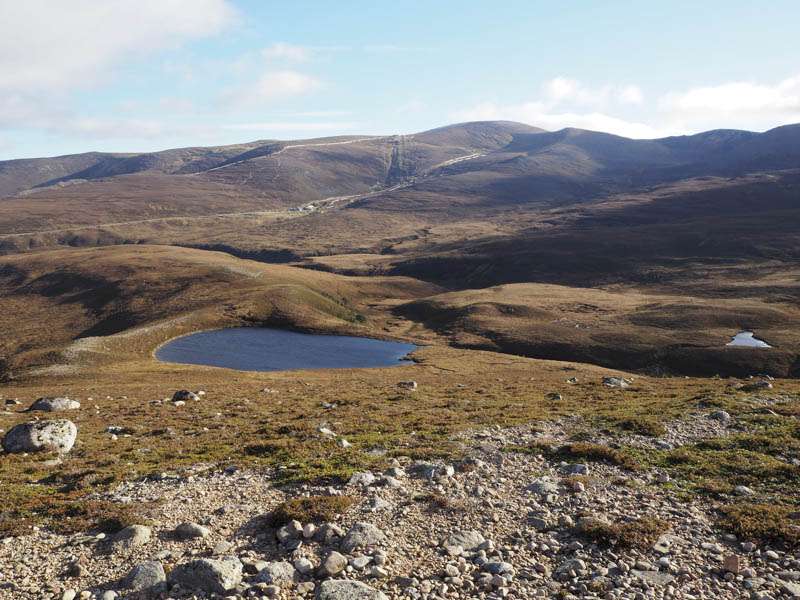
There was a cold wind blowing here so I crossed over to Castle Hill before descending north-east later heading north to avoid the boulders and to a gate in the deer fence. Once through this gate I ascended the Graham Top, Airgoid-meall.
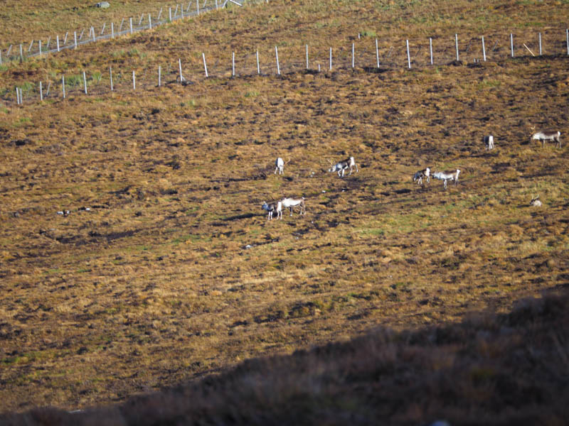
The descent east followed a few animal tracks, probably reindeer, and this led back to the path used earlier in the day although it involved climbing over the deer fence. I then returned to my car by the approach route.
Balvattan: From end of public road at Whitewell, accessed from the B970 at Inverdruie, south-east of Aviemore, walked west along a vehicle track before crossing a gate to join an old track. I later left this track to gain the summit of the Tump, Balvattan, visiting a couple of points as I couldn’t tell which was the highest. The return was by the approach route.
Callart Hill: This Tump was located on the west side of the B970 Coylumbridge to Nethy Bridge Road, opposite the Dalfaber Estate in Aviemore although separated by the River Spey. I parked off road at the south end of the forest and walked north along a vehicle track before leaving it and climbing through well spaced trees to reach the summit of Callart Hill. The return was by the upward route.
- Total time – 3.75 hours.
- Total distance – 11.5 kilometres.
- Total height climbed – 540 metres.