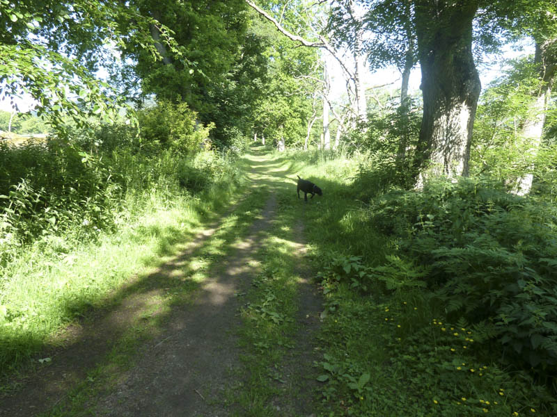
From the village of Monymusk in Aberdeenshire, I set off through the village and onto the vehicle track on the west side of the River Don.
![Track alongside the River Don at Monymusk](https://scotlandhills.net/wp-content/uploads/2021/01/01-Track-alongside-the-River-Don-at-Monymusk.jpg)
This track was followed north onto the Monymusk to Pitfichie Road and at Pitfichie Cottage I walked along the access road for Royhall. I left this road at an obvious left hand bend and followed an eroded path through the trees onto one of the main tracks in Pitfichie Forest.
![Track Pitfichie Forest](https://scotlandhills.net/wp-content/uploads/2021/01/02-Track-Pitfichie-Forest.jpg)
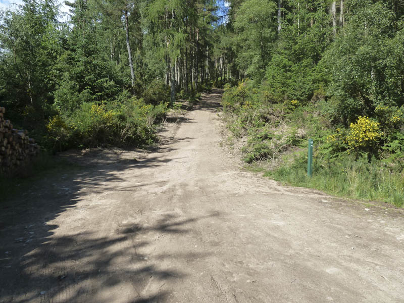
I walked south-west along this track.
![Cairn William](https://scotlandhills.net/wp-content/uploads/2021/01/03-Cairn-William.jpg)
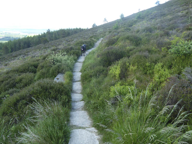
On reaching the start of the path between Pitfichie Hill and Cairn William I headed up this path to the col between these two hills.
![Track between Pitfichie Hill and Cairn William](https://scotlandhills.net/wp-content/uploads/2021/01/04-Track-between-Pitfichie-Hill-and-Cairn-William.jpg)
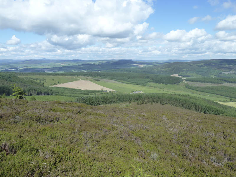
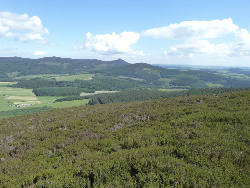
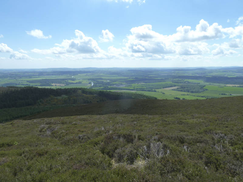
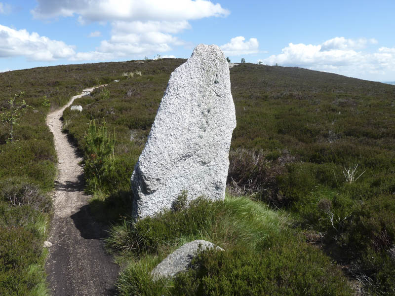
From there a path zigzagged up the east face of the Marilyn, Cairn William on a fairly easy gradient.
![Path to Cairn William](https://scotlandhills.net/wp-content/uploads/2021/01/05-Path-to-Cairn-William.jpg)
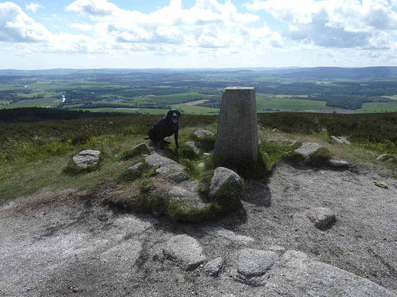
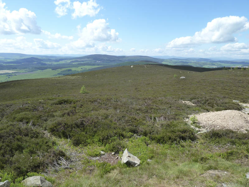
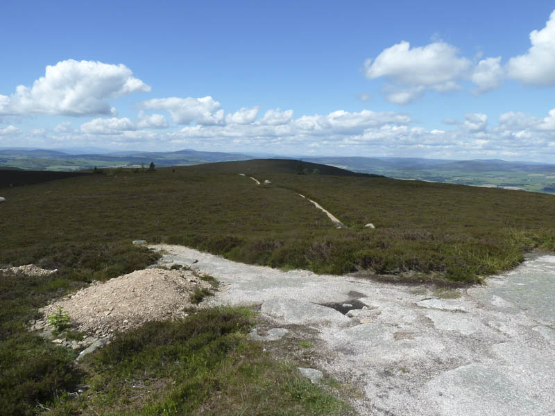
After reaching the trig point I continued west on another path which took me to below the West Top.
![Tap o'Noth in distance](https://scotlandhills.net/wp-content/uploads/2021/01/06-Tap-oNoth-in-distance.jpg)
![Bennachie and Millstone Hill](https://scotlandhills.net/wp-content/uploads/2021/01/07-Bennachie-and-Millstone-Hill.jpg)
![Pitfichie Hill](https://scotlandhills.net/wp-content/uploads/2021/01/08-Pitfichie-Hill.jpg)
![River Don and Monymusk](https://scotlandhills.net/wp-content/uploads/2021/01/09-River-Don-and-Monymusk.jpg)
![Summit, Cairn William](https://scotlandhills.net/wp-content/uploads/2021/01/10-Summit-Cairn-William.jpg)
![Benaquhallie](https://scotlandhills.net/wp-content/uploads/2021/01/11-Benaquhallie.jpg)
![Lochnagar in the distance](https://scotlandhills.net/wp-content/uploads/2021/01/12-Lochnagar-in-the-distance.jpg)
![West Top, Cairn William. Cairngorms in the distance](https://scotlandhills.net/wp-content/uploads/2021/01/13-West-Top-Cairn-William.-Cairngorms-in-the-distance.jpg)
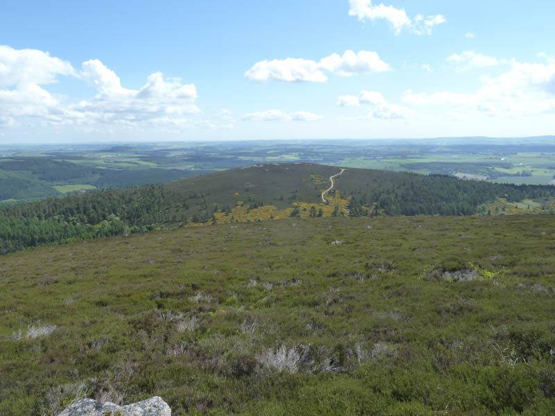
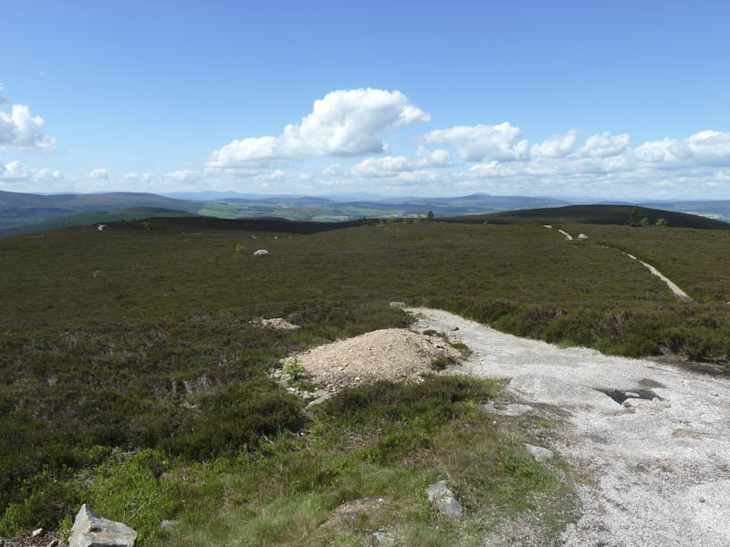
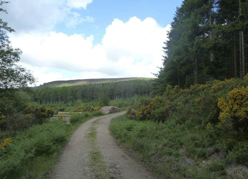
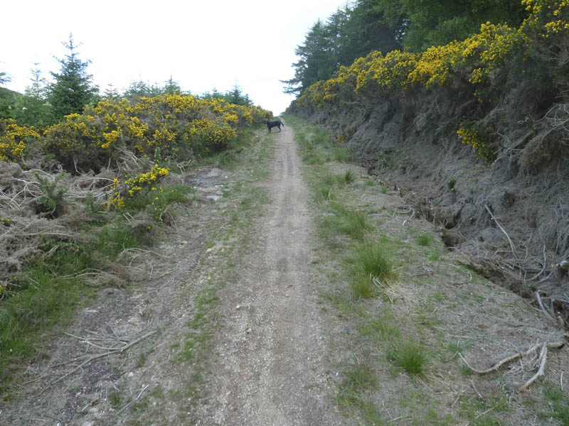
Here a forest track headed south then south-east to rejoin the main forest track on the south-west side of Pitfichie Forest.
![Standing Stone](https://scotlandhills.net/wp-content/uploads/2021/01/14-Standing-Stone.jpg)
I walked north-east along this track to the point where I had left it earlier in the day then returned to Monymusk by the approach route.
- Time taken – 3.25 hours.
- Distance – 14.25 kilometres.
- Height climbed – 480 metres.