Tom na Voulin: This Tump was located to the west of the A941 Rhynie to Dufftown Road north of Cabrach. I parked on the verge north of the bridge over the Black Water and crossed a gate and a couple of fields to reach the summit of Tom na Voulin. The return was by the ascent route.
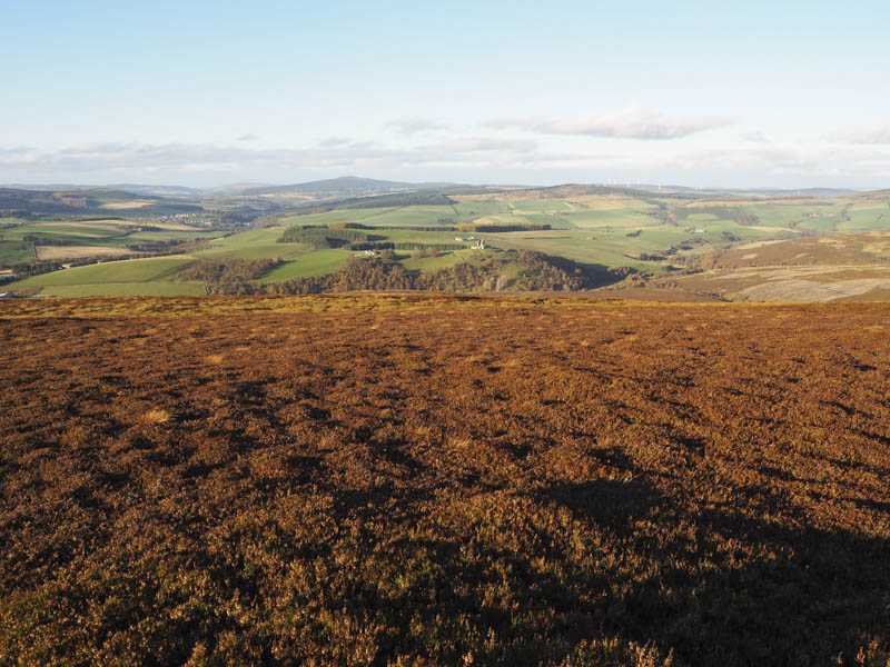
Meikle Balloch Hill and Garbet Hill: These two hills were positioned to the east of the A941 Rhynie to Dufftown Road. I left my vehicle at the side of the road immediately north-west of Ballochford Farm and beside an overgrown track. Once across some old metal gates I walked along this track before joining a more recently used one that led up from the farm buildings. It ended at a fence but once over it another vehicle track came in from the west. Its condition soon deteriorated so higher up I left it and climbed through heather of mixed lengths to the summit of the Tump, Meikle Balloch Hill, marked by a cairn.
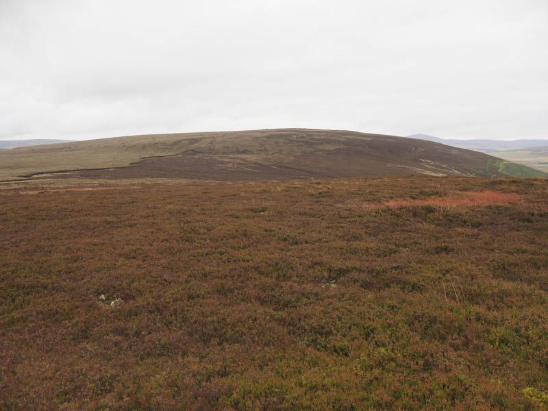
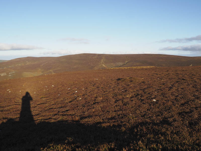
I descended south-east across a mixture of vegetation including some mossy ground, then climbed through mainly longish heather to the summit of the Hump, Garbet Hill. There were a few cairns but the highest point was apparently within an area of mossy ground although I found it impossible to locate the exact spot. I then descended east through long heather to the track beside the fence crossing and returned to my car by the outward route stopping to speak to the local farmer.
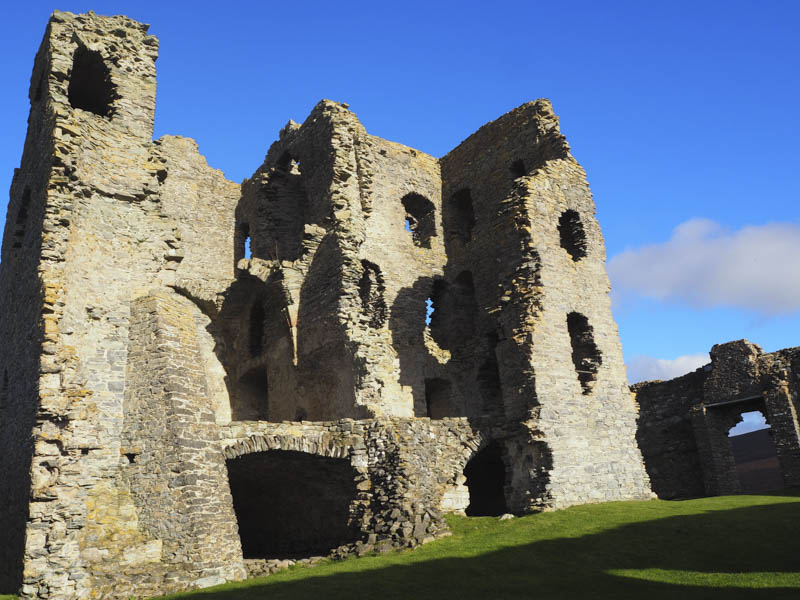
Auchindoun Castle: This ruin was located on the east side of the A941 Rhynie to Dufftown Road south of its junction with the A920 Dufftown to Huntly Road. I left my vehicle in the car park off the access road to Upper Keithack and followed the path to the Castle which also marked the summit of this Tump. After wandering around this ruin I returned to the car park by the marked path.
Ben Main: I then drove south on the A941 Rhynie to Dufftown Road for a few miles to reach Bridgehaugh where I parked on the verge. I walked south-east across the bridge over the River Fiddich then left the road and followed the edge of the forest before ascending the Tump, Ben Main.
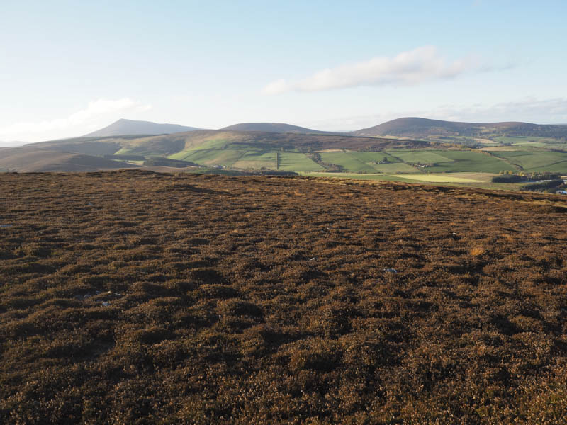
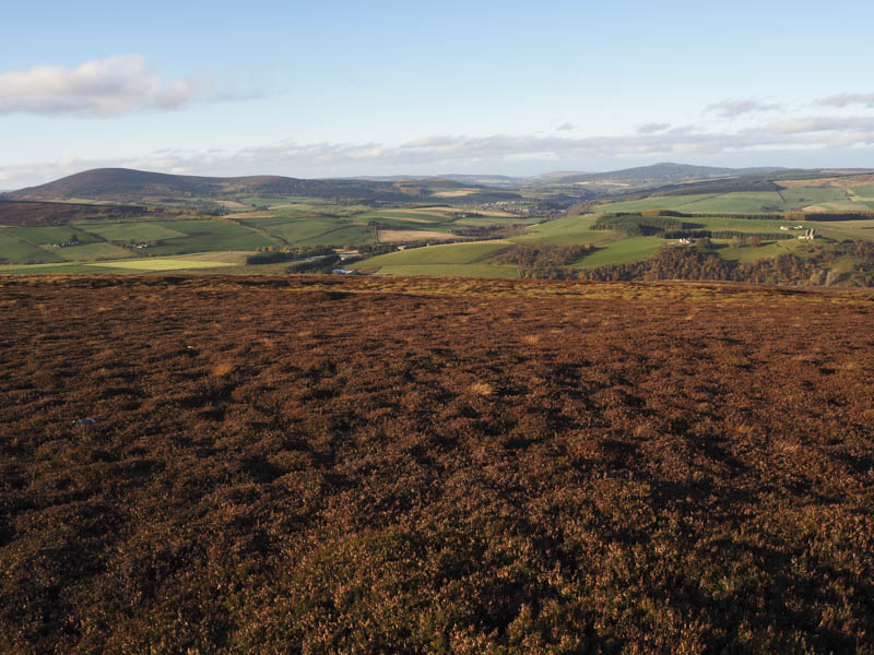
The return was by the upward route.
- Total time – 3.5 hours.
- Total distance – 9.75 kilometres.
- Total height climbed – 495 metres.