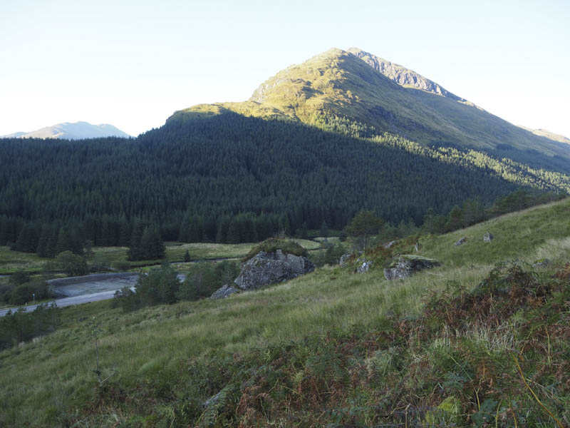
I left my vehicle in the car park, which appeared to have been recently extended, on the south side of the A83 in Glen Kinglas, east of Butterbridge. I then walked the short distance east to immediately before the bridge over the Kinglas Water where I climbed over a padlocked stock gate and immediately to the left through an unlocked gate in a deer fence.
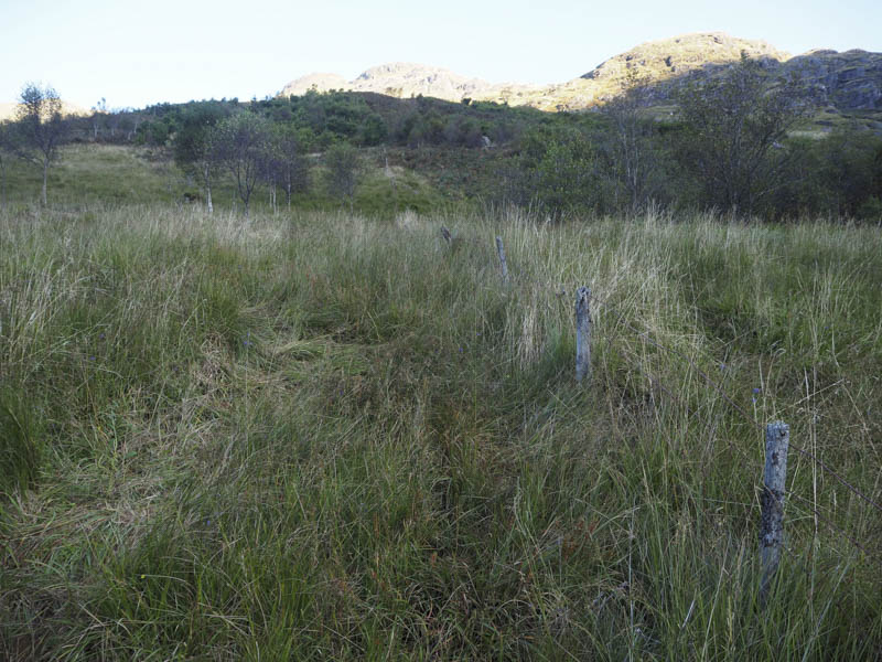
A fairly steep, wet and boggy path led through long grass and a mixed woodland to a stile in the deer fence.
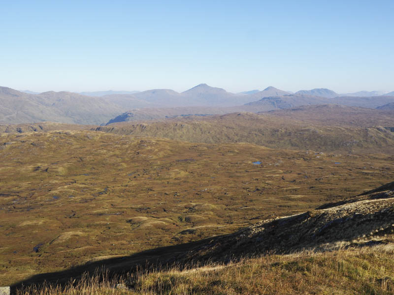
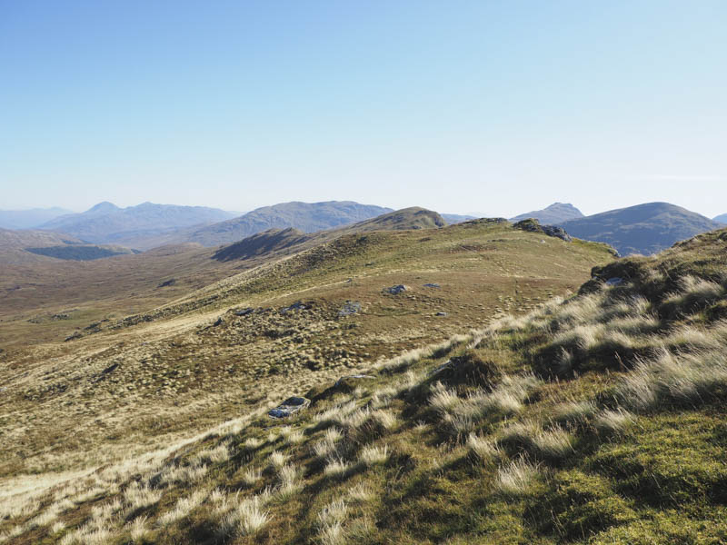
I then climbed an obvious grassy gully and thereafter the gradient eased as I headed into Coire Creagach where the vegetation was again fairly long with some peat hags to work round.
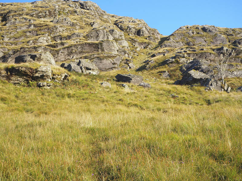
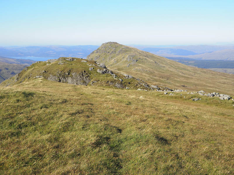
Another steep grassy gully led to the col between Stob Coire Creagach and its East Top.
It had been sunny and fairly calm but on reaching the col the wind picked up as I made the short easy ascent north-east to the summit of the uncategorised hill, Stob Coire Creagach East Top.
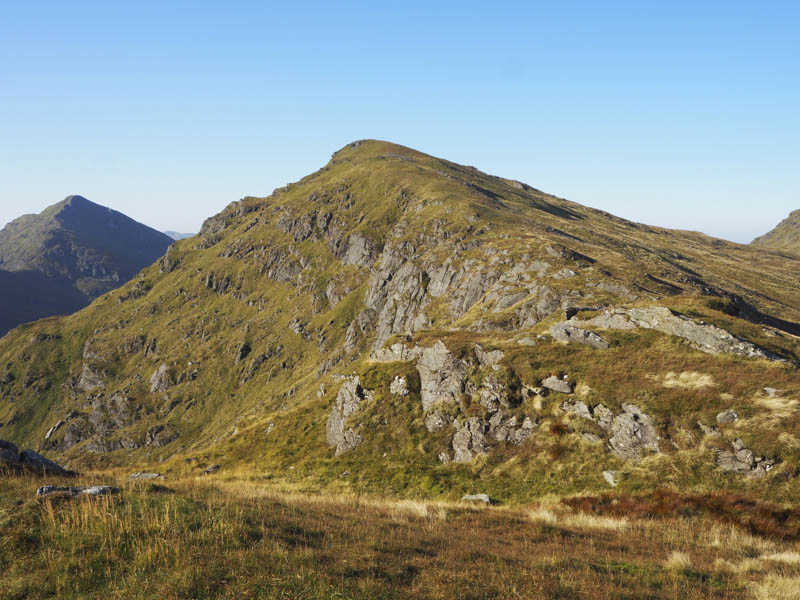
I returned to the col and ascended Stob Coire Creagach trying to avoid the buffeting wind.
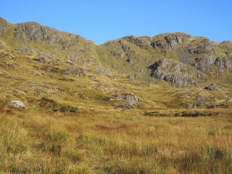
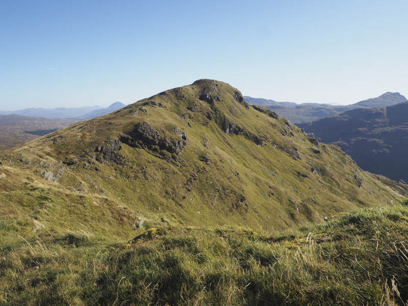
On reaching the summit cairn and rock of this Corbett it was too windy to stand around so I descended west following a path to below Creag Bhrosgan making a short diversion to visit the summit of this uncategorised hill.
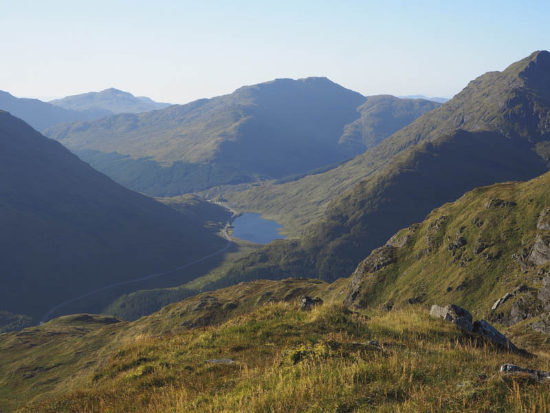
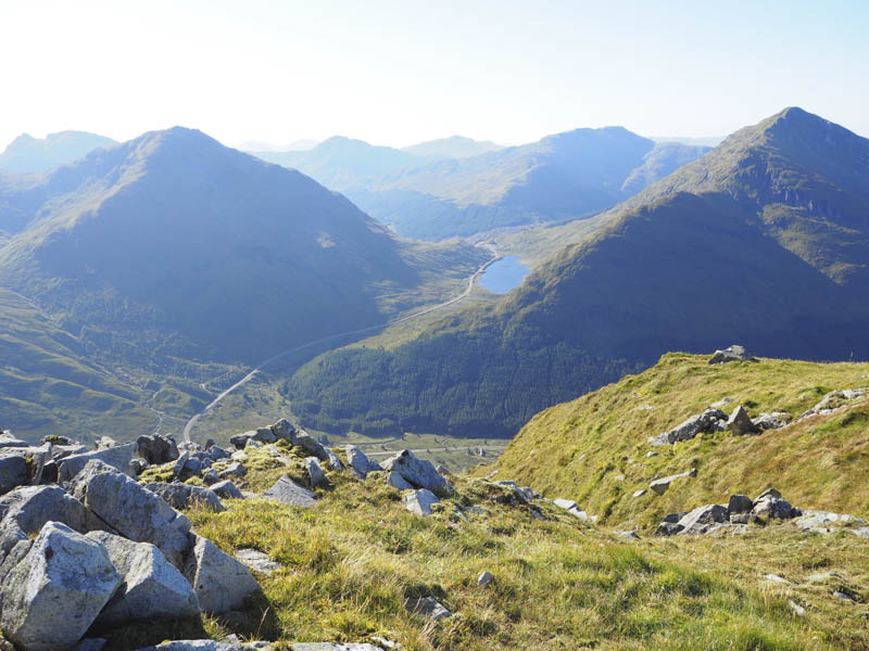
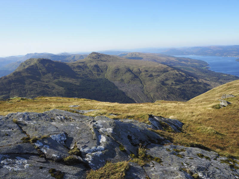
I then continued to the col with Binnein an Fhidhleir. The wind was now stronger so I avoided the path onto this Hump/Corbett Top and worked my way round its north side before climbing to the trig point.
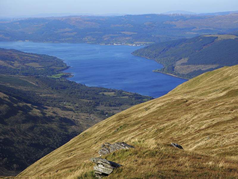
On returning to just east of the col with Creag Bhrosgan I commenced the fairly steep descent into Glen Kinglas working my way below this hill through some rough ground and emerging out of the wind.
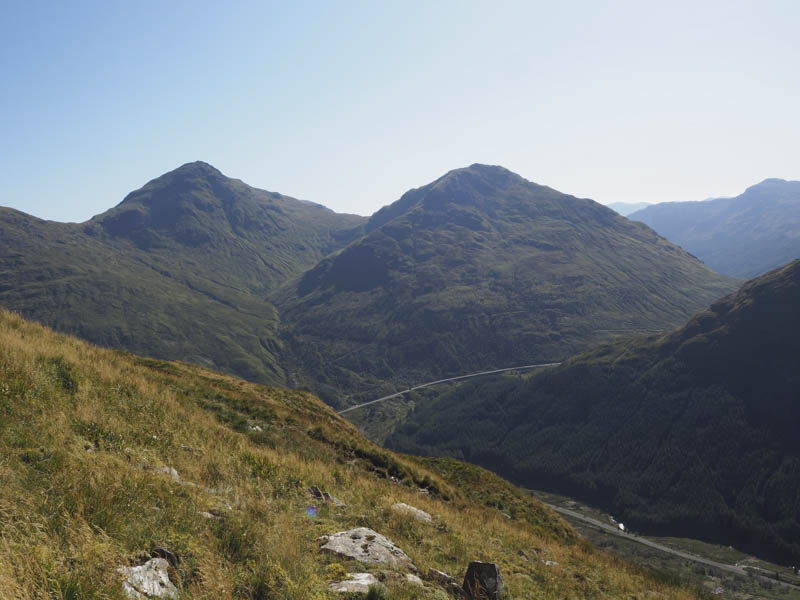
Low down and just west of the vacant property at Butterbridge a deer fence was crossed followed by some awkward walking through the mixed woodland and its long vegetation. The deer fence was then re-crossed to reach the A83 and a short walk east took me back to the car park.
- Time taken – 4.5 hours.
- Distance – 7.75 kilometres.
- Height climbed – 805 metres.