I left my vehicle in the public car park to the south of the Bridge of Orchy Hotel on the A82 Crianlarich to Fort William Road, crossed this road and walked up to the railway station. Once through the underpass I was onto the open hillside.
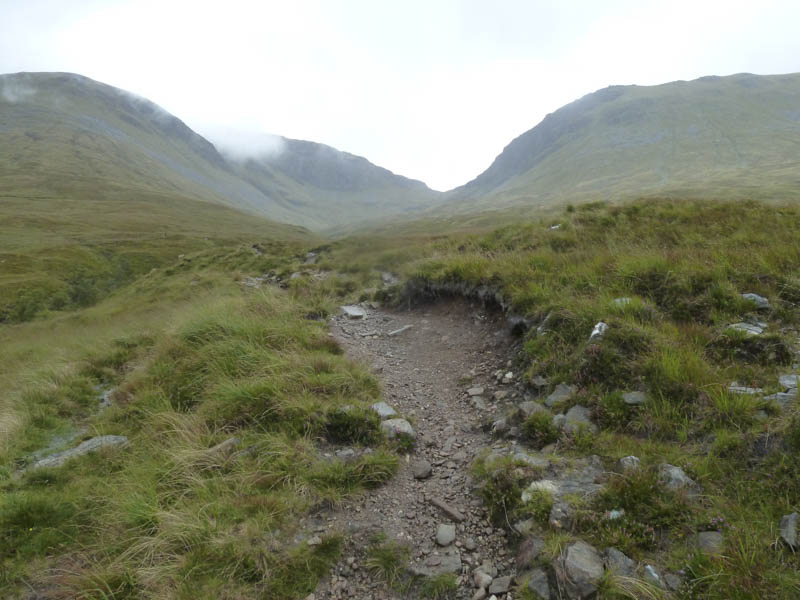
An eroded and in places muddy path was followed into Coire an Dothaidh where the gradient increased before reaching the cairn marking the bealach between the Munros, Beinn Dorain and Beinn an Dothaidh.
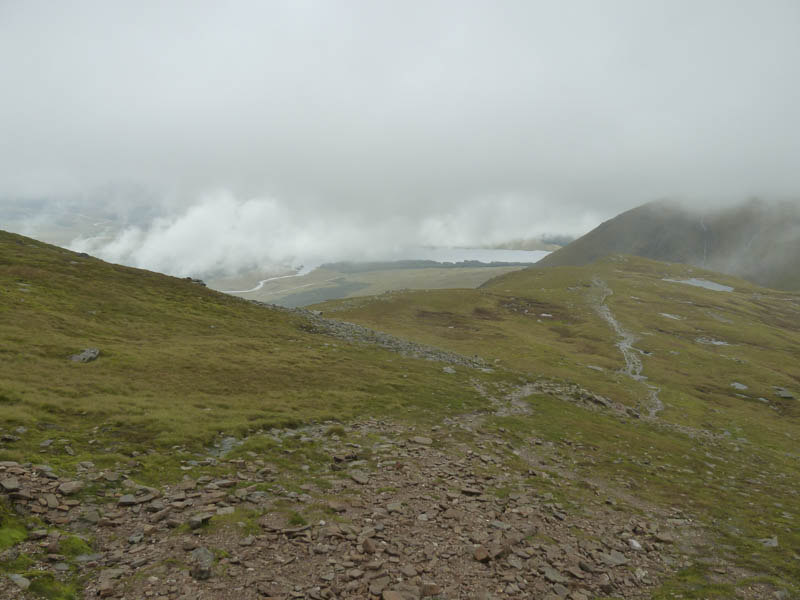
I was now in low cloud as I headed south climbing through some rocks before reaching easier ground. Higher still there was an eroded stony path then less effort was required to gain the cairn on Carn Sasunnaich, (Beinn Dorain North Top) a Sub Simm. After a short drop the ridge narrowed a bit then it was an easy climb to the summit of Beinn Dorain. I took a break here with intermittent views but the cloud then closed in again.
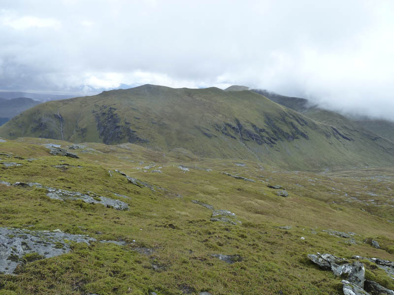
I returned to the bealach passing a few folks headed for Beinn Dorain. By this time the cloud had lifted clear of Beinn an Dothaidh.
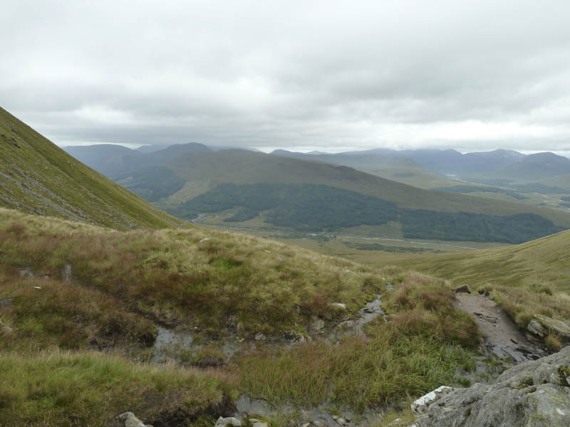
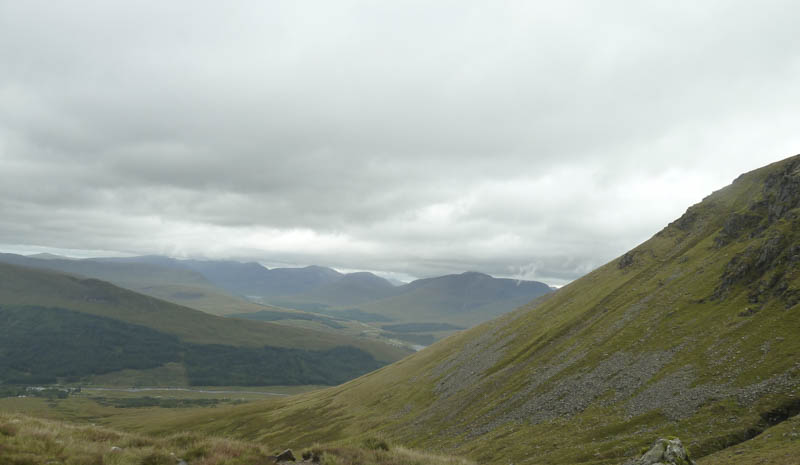
Another eroded path led towards this Munro but higher up I left it and climbed its West Top, a Sub Simm. From there I looked across to Rannoch Moor. Unfortunately as I made my way onto Beinn an Dothaidh the cloud began to lower again. There were no views from the summit cairn so it was back to the bealach then the return to Bridge of Orchy by the upward route.
- Time taken – 6.25 hours.
- Distance – 14.25 hours.
- Height climbed – 1275 metres.