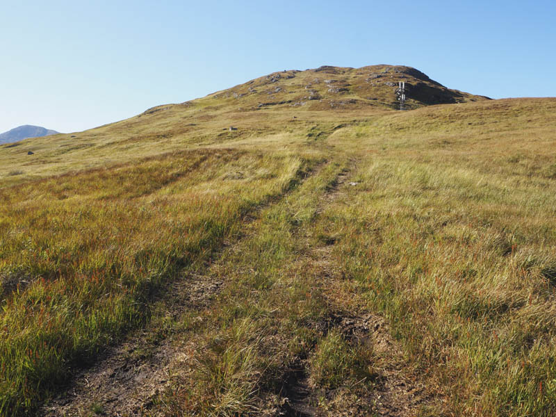
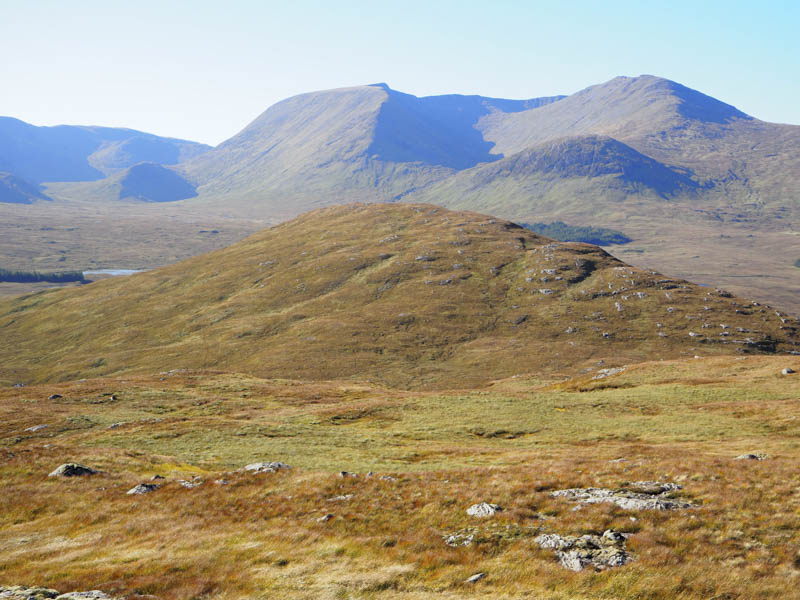
I left my car on the west side of the A82 north of Bridge of Orchy and south of Lochan na h-Achlaise at the start of old ATV tracks which led to a communications tower. I walked up these tracks to the tower then it was a steady pull through some long grass, avoiding the rocks, to reach the cairn on Meall Mor, however the highest point was an outcrop some sixty metres to the west.
![Track to communications tower](https://scotlandhills.net/wp-content/uploads/2020/05/01-Track-to-communications-tower.jpg)
![Beinn Achaladair and Beinn an Dothaidh](https://scotlandhills.net/wp-content/uploads/2020/05/02-Beinn-Achaladair-and-Beinn-an-Dothaidh.jpg)
![Loch Tulla](https://scotlandhills.net/wp-content/uploads/2020/05/03-Loch-Tulla.jpg)
![Lochan na h-Achlaise, Loch Ba and Stob na Cruaiche](https://scotlandhills.net/wp-content/uploads/2020/05/04-Lochan-na-h-Achlaise-Loch-Ba-and-Stob-na-Cruaiche.jpg)
![Meal Beag. Clach Leathad and Meall a' Bhuiridh beyond](https://scotlandhills.net/wp-content/uploads/2020/05/05-Meal-Beag.-Clach-Leathad-and-Meall-a-Bhuiridh-beyond.jpg)
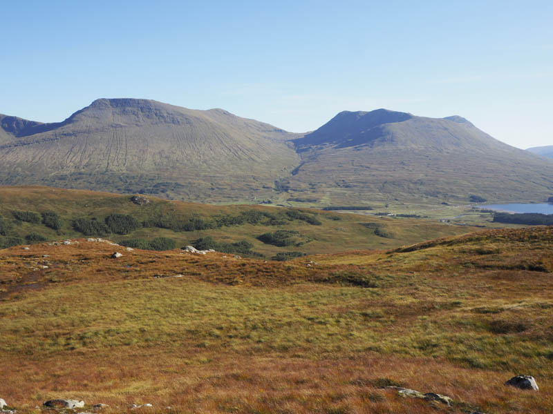
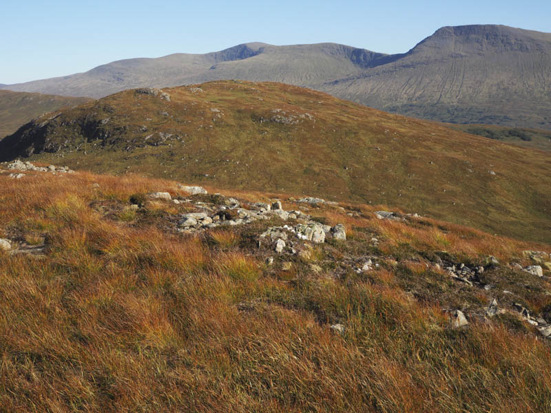
After visiting the high point on this Marilyn I descended fairly steeply to the col with Meall Beag then ascended its west ridge and to the summit cairn of this Tump.
![Loch Buidhe and Lochan na Stainge](https://scotlandhills.net/wp-content/uploads/2020/05/06-Loch-Buidhe-and-Lochan-na-Stainge.jpg)
![Meall Mor. Beinn a' Chreachain and Beinn Achaladair beyond](https://scotlandhills.net/wp-content/uploads/2020/05/07-Meall-Mor.-Beinn-a-Chreachain-and-Beinn-Achaladair-beyond.jpg)
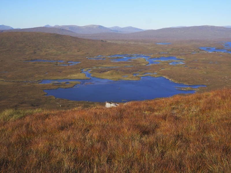
I then returned to the col and worked my way round the west and south sides of Meall Mor gaining some height before descending to the communication tower and the start.
- Time taken – 1.5 hours.
- Distance – 4.5 kilometres.
- Height climbed – 355 metres.