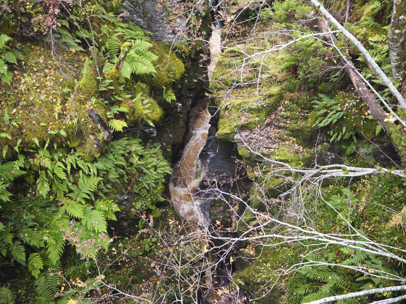
Tom an t-Suidhe Mhoir – I parked at Bridge of Brown on the A939 Tomintoul to Grantown on Spey Road and walked across the bridge over the gorge of the Burn of Brown.
Thereafter a track led to the vacant and in places derelict Mains of Glenbrown and along the edge of a small plantation.
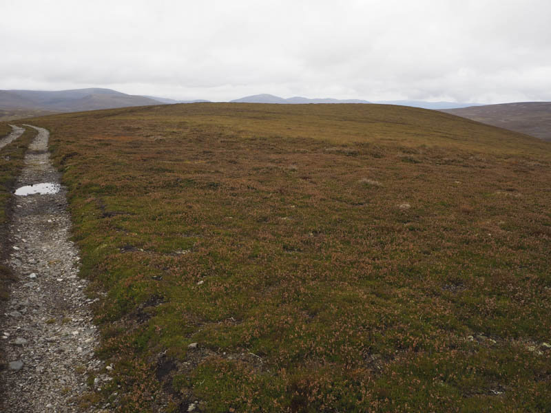
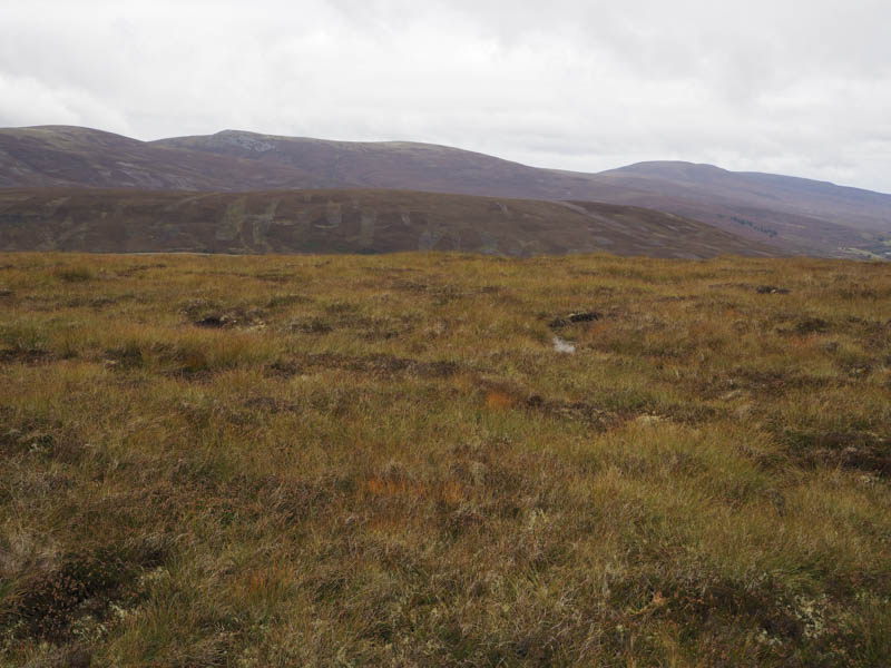
I later left this track and climbed through heather of varying lengths, occasionally using animal trails, to join a vehicle track that led passed the 531 metre top and to the summit of Tom an t-Suidhe Mhoir, the highest point of this Tump being a piece of ground on the north side of the track.
The return was back along the track until it came to an end then through the heather to Mains of Glenbrown and Bridge of Brown.
Laggandhu Hill – This hill was located to the east of the single track road leading to Dorback Lodge accessed from the minor road linking the A939 Tomintoul to Grantown on Spey Road with Nethy Bridge.
I parked at the edge of a passing place and walked the short distance to then up the access track for the house at Laggandhu. Here I entered and crossed a field of rough grazing to reach a deer fence consisting of electric wires. There was also a small fence consisting of a single electric wire.
These fences were followed to a gate and once through it I walked up the edge of an enclosure, probably for the rearing of pheasants, and into the trees and to the summit of Laggandhu Hill. The high point of this Tump appeared to beside the foot of a tree. The return was by the upward route.
- Total time – 2.25 hours.
- Total Distance – 7.25 kilometres.
- Total height climbed – 315 metres.