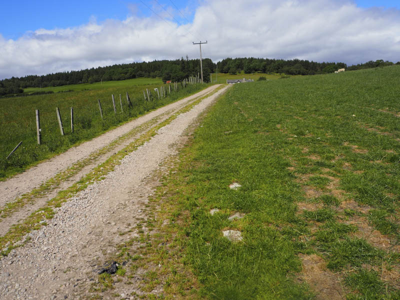
Carn na Loinne – The plan was to climb Carn na Loinne from the Dorback Lodge Road at Muckerach, accessed from the Bridge of Brown to Nethy Bridge Road. I left my car at the wide entrance to Muckerach then walked along the vehicle track to and round this property and onto Lower Drum, now known as Drum Lodge and Cottage.
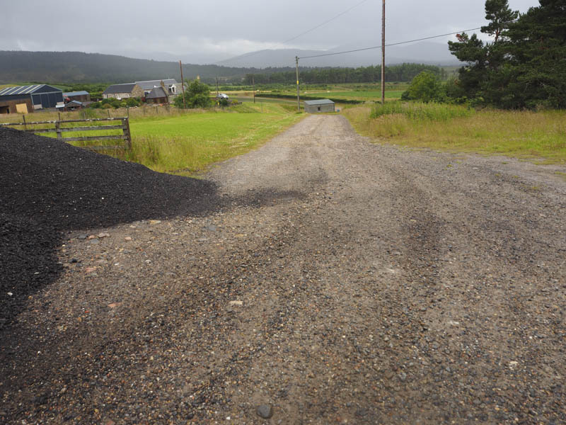
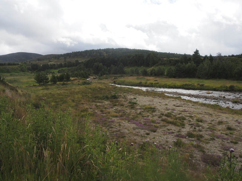
The track leading to the crossing of the Dorback Burn was shown on my map as accessed from beside the Lodge and Cottage but a sign indicated that this was private property. I therefore walked round the houses to the east, through some cut grass, long grass and passing through a gate to a high fence consisting of several electric wires with no crossing point. I followed this fence east to an open stock gate and joined a vehicle track that descended passed a ruin (NJ062165) to the Dorback Burn. The track then ran along its north side before crossing it at a ford, the water level was low, and through some trees to a track junction.
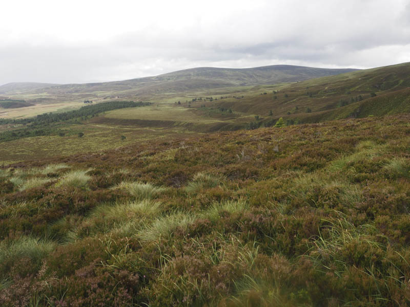
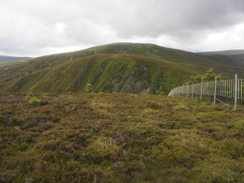
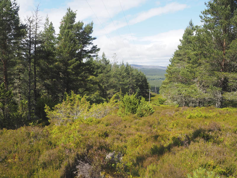
To the left the track came to an end beside an area where game birds were reared, so I went right the track following a fence line to join the forest track, part of my original plan, at NJ060162. The forest track wound its way south-west ending at a wooden deer fence. This fence, later part wood, part wire, was followed south-west, occasionally along animal trails to the summit of the Tump, Carn na Loinne, where the highest point was some vegetation east of the deer fence.
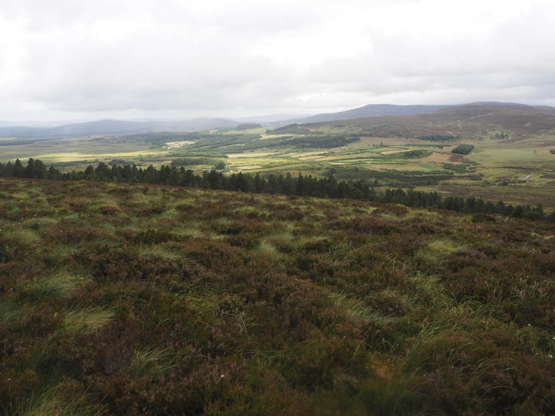
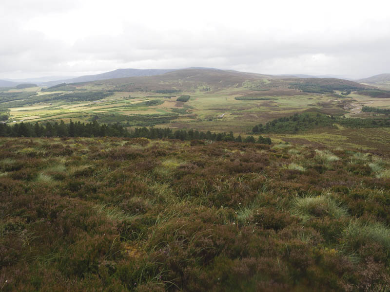
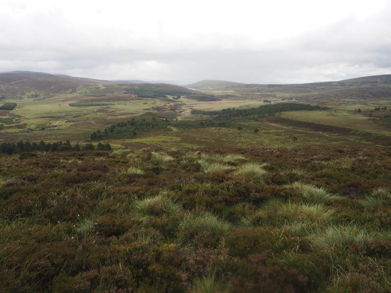
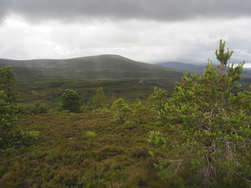
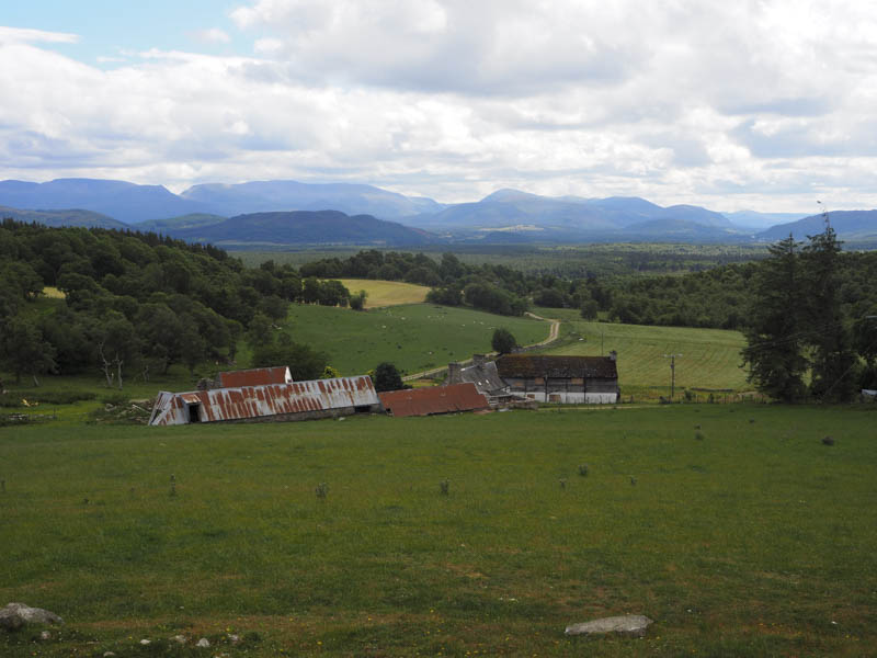
I thereafter returned along the deer fence then the forest track to the point where I had joined it earlier. I continued north along this track, out of the trees, and above the west side of the Dorback Burn to reach another ford. Once on the other side the track headed north-east to NJ059169 where it joined the vehicle track some distance north of Drum Lodge and Cottage. If I had been aware of this section of track at the start it would have made for an easier ascent and saved on time and distance. Anyway it was then only a short walk back to my car.
Docharn Craig – I left my vehicle in the Deshar Primary School car park, it was the school holidays, at the junction of the minor road to Boat of Garten just beyond its junction with the A95 Aviemore to Grantown on Spey Road. I walked across the A95 then north-east and north up a tarred road passed several houses, this also being part of a cycle route. Higher up the tarred road was replaced by a vehicle track and led to the boarded up property at Docharn where there was a track coming in from the west, also part of the cycle route.
Here I crossed a field then a stock fence to enter Docharn Wood where there was a gap in the trees containing wooden pylons. The vegetation here was rather long and rough but the walking amongst the well enough spaced trees was slightly easier. A cairn was reached with the apparent highest point of the Tump, Docharn Craig, being 5 metres to its west. I wasn’t convinced this was correct so visited a couple of other points before returning by the ascent route.
- Total time taken – 2.5 hours.
- Total distance – 11.75 kilometres.
- Total height climbed – 390 metres.