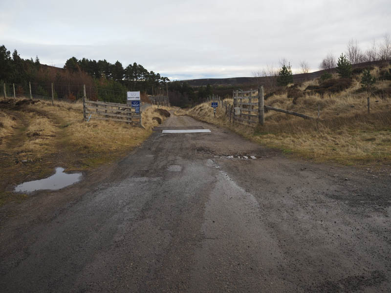
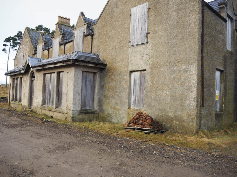
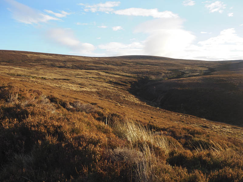
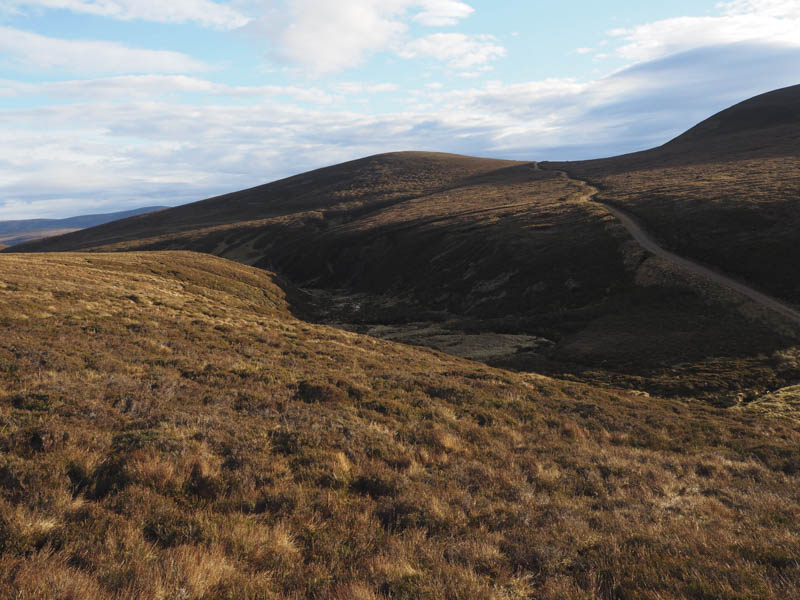
I left my car on the verge at the end of the public road just west of Dorback Lodge, reached from the unclassified Nethy Bridge to the A939 road west of Bridge of Brown. I walked along the estate track passed this derelict building and kennels. This estate track then led south-east above the Dorback Burn.
![Start of walk, private road to Dorback Lodge](https://scotlandhills.net/wp-content/uploads/2020/12/01-Start-of-walk-private-road-to-Dorback-Lodge.jpg)
![Derilict Dorback Lodge](https://scotlandhills.net/wp-content/uploads/2020/12/02-Derilict-Dorback-Lodge.jpg)
![Upper Dell](https://scotlandhills.net/wp-content/uploads/2020/12/03-Upper-Dell.jpg)
![Route south-east on estate track](https://scotlandhills.net/wp-content/uploads/2020/12/04-Route-south-east-on-estate-track.jpg)
Immediately beyond Tom na Fianaig I left this route and followed a rougher track to the col with Carn na Farraidh.
![Hump and Graham Top, Carn na Farraidh](https://scotlandhills.net/wp-content/uploads/2020/12/05-Hump-and-Graham-Top-Carn-na-Farraidh.jpg)
![Corbett, Geal Charn](https://scotlandhills.net/wp-content/uploads/2020/12/06-Corbett-Geal-Charn.jpg)
![Carn Bheadhair and Carn na h-Ailig](https://scotlandhills.net/wp-content/uploads/2020/12/07-Carn-Bheadhair-and-Carn-na-h-Ailig.jpg)
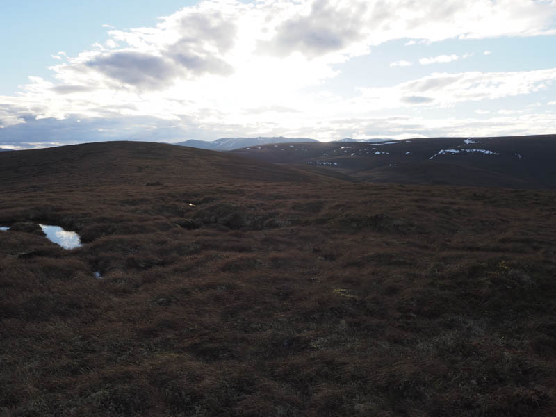
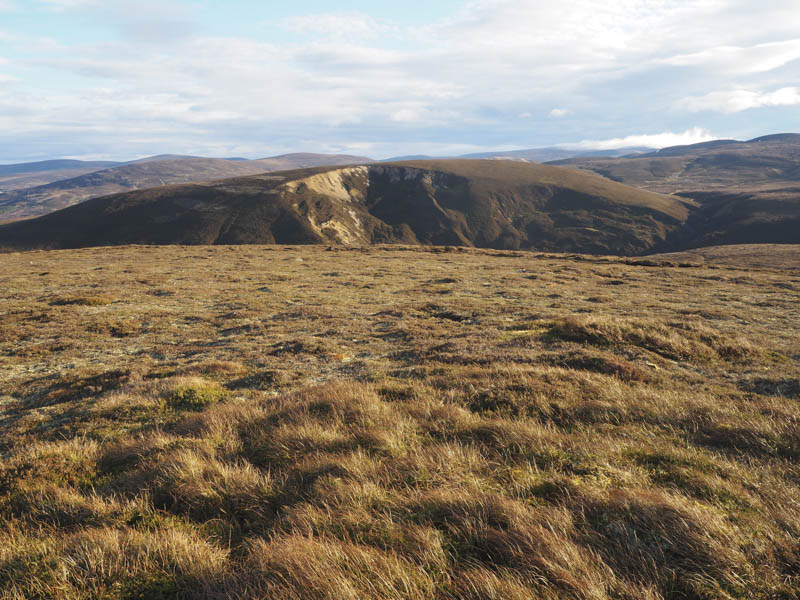
Here the track became a quad vehicle trail before disappearing as I climbed the Sub Sim, Carn na Farraidh North Top.
![Hills of Cromdale](https://scotlandhills.net/wp-content/uploads/2020/12/08-Hills-of-Cromdale.jpg)
![Route onto Carn na Farraidh](https://scotlandhills.net/wp-content/uploads/2020/12/09-Route-to-Carn-na-Farraidh.jpg)
![Braes of Abernethy and the start](https://scotlandhills.net/wp-content/uploads/2020/12/10-Braes-of-Abernethy-and-the-start.jpg)
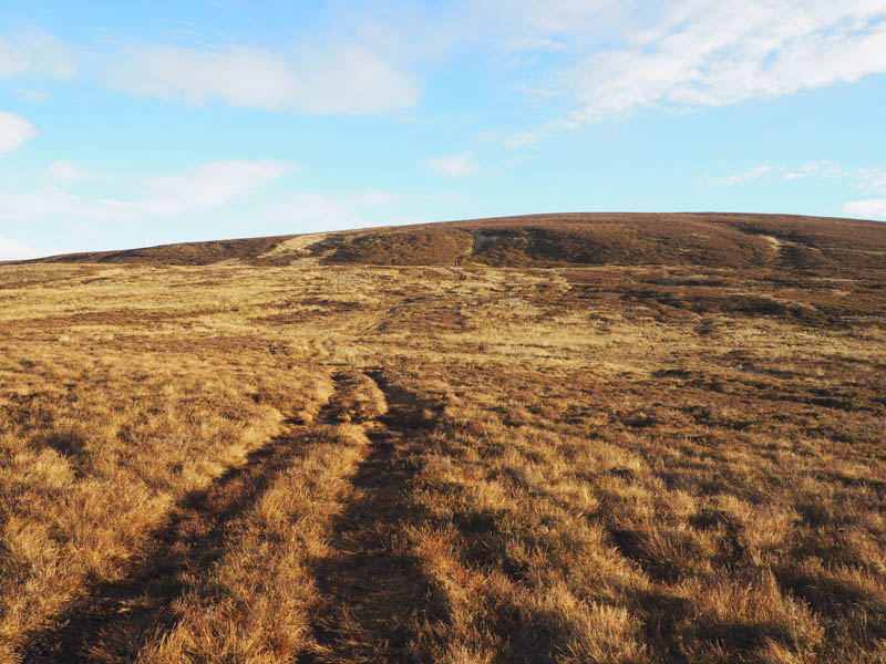
A slight loss of height then the ascent of the Graham Top and Hump, Carn na Farraidh was across some boggy ground with a few peat hags to reach its summit marked by a few stones on one of these hags.
![Ben Rinnes in the distance](https://scotlandhills.net/wp-content/uploads/2020/12/11-Ben-Rinnes-in-the-distance.jpg)
![Ladder Hills](https://scotlandhills.net/wp-content/uploads/2020/12/12-Ladder-Hills.jpg)
![Ben Avon in the distance](https://scotlandhills.net/wp-content/uploads/2020/12/13-Ben-Avon-in-the-distance.jpg)
![Bynack More in the distance](https://scotlandhills.net/wp-content/uploads/2020/12/14-Bynack-More-in-the-distance.jpg)
![Meall a' Bhuachaille in the distance](https://scotlandhills.net/wp-content/uploads/2020/12/15-Meall-a-Bhuachaille-in-the-distance.jpg)
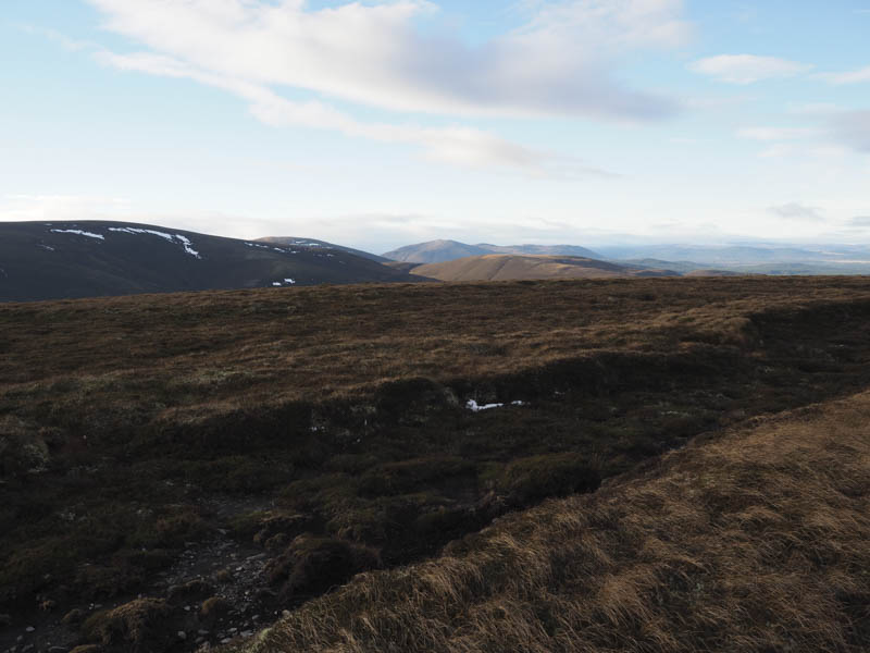
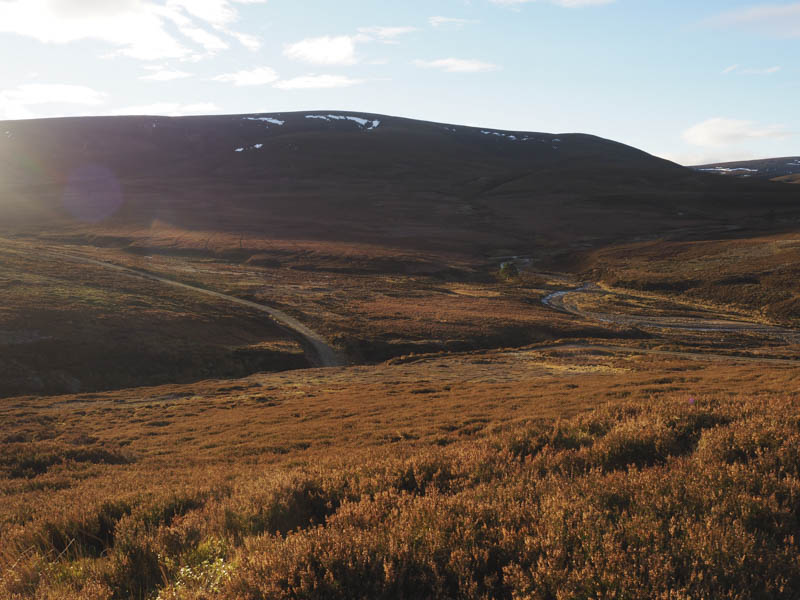
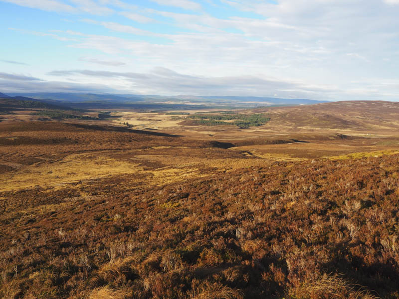
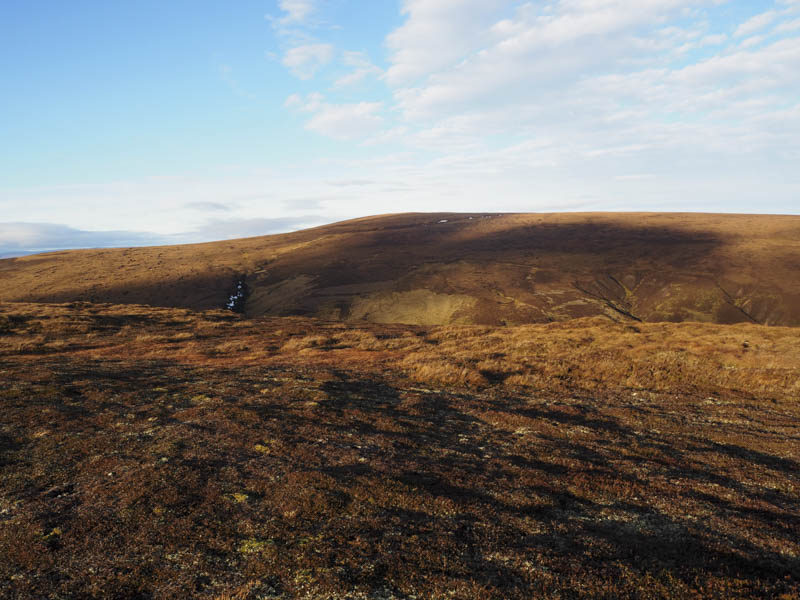
I then descended south over rough vegetation to rejoin the estate track beside the Allt Dearcaige.
![Graham Top, Carn Ruadh-bhreac](https://scotlandhills.net/wp-content/uploads/2020/12/16-Graham-Top-Carn-Ruadh-bhreac.jpg)
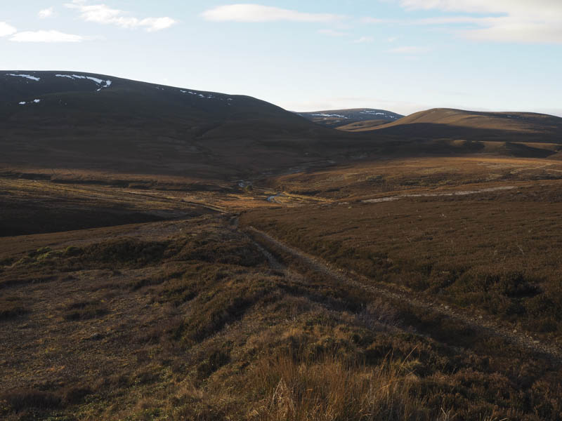
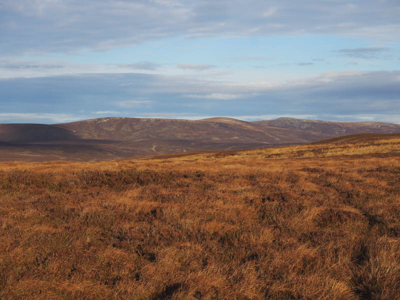
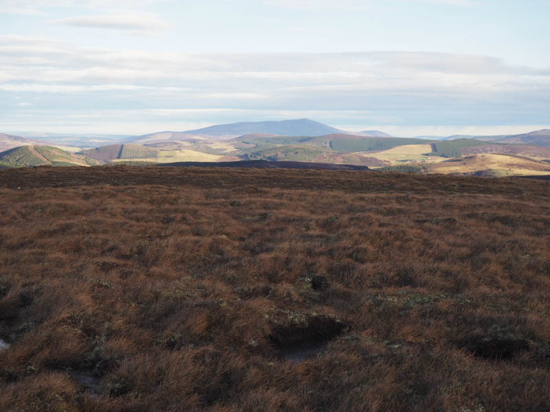
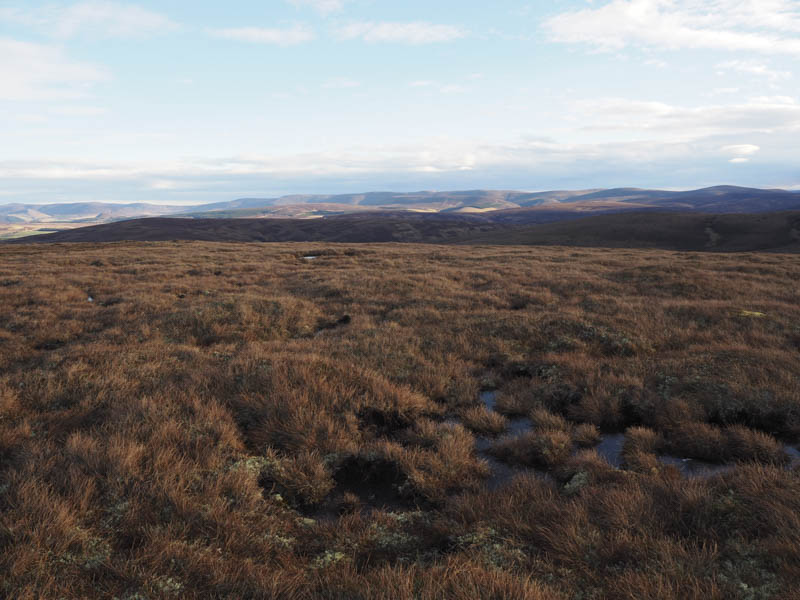
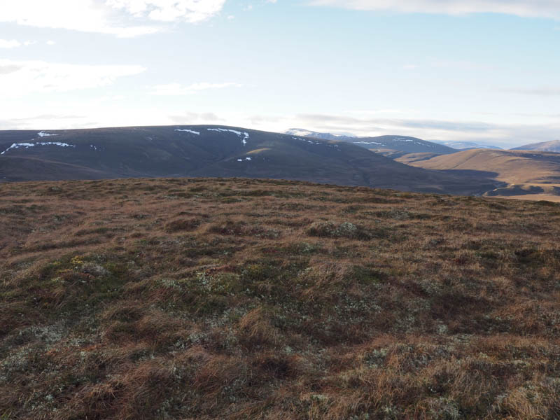
I continued along this track to below the Graham Top, Carn Ruadh-bhreac which I ascended.
![Carn Ruabraich](https://scotlandhills.net/wp-content/uploads/2020/12/17-Carn-Ruabraich.jpg)
![Carn na Farraidh from Carn Ruadh-bhreac](https://scotlandhills.net/wp-content/uploads/2020/12/18-Carn-na-Farraidh-from-Carn-Ruadh-bhreac.jpg)
![Herd of deer](https://scotlandhills.net/wp-content/uploads/2020/12/19-Herd-of-deer.jpg)
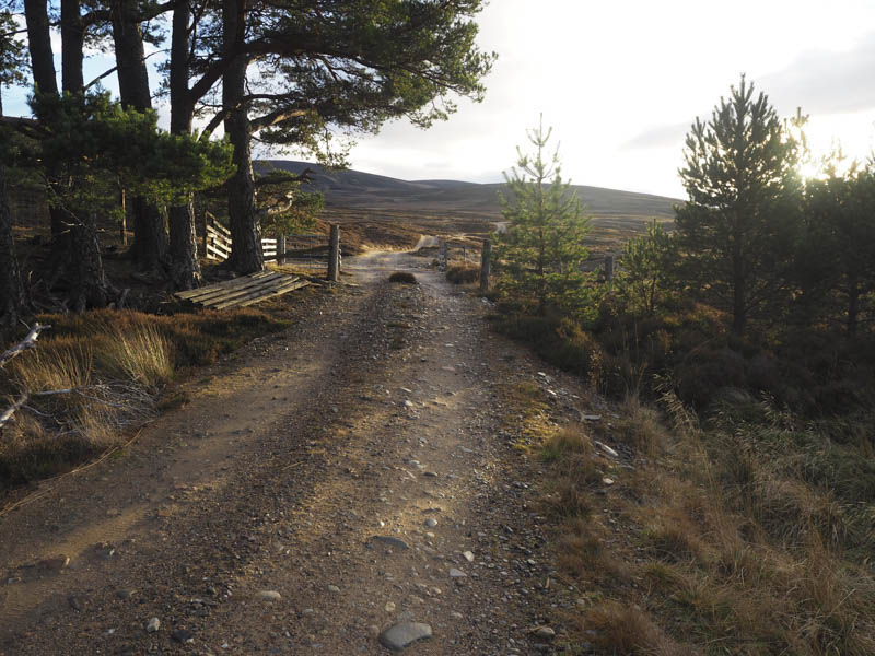
I returned to the estate track and at a nearby ‘shooter’s hut’ sat outside in the sun for lunch. Thereafter I followed the track back to the start.
- Time taken – 5.25 hours
- Distance – 15.5 kilometres.
- Height climbed – 525 metres.