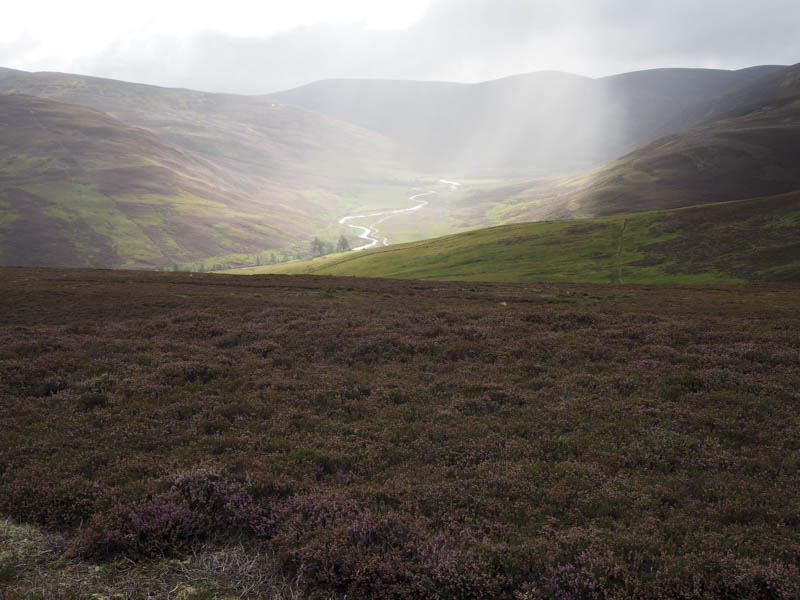
Carn Bhithir – On my arrival in the parking area at Inverey, on the minor Braemar to Linn of Dee Road, it was already fairly full with a few folks preparing to or setting off for the cycle down Glen Eye. I followed on foot later crossing the Eye Burn via a bridge. Thereafter the gradient increased before easing again and here I left the vehicle track and climbed onto Carn Bhithir’s North-East Ridge. There were animal trails to follow and this made for a reasonable ascent through the heather. A small cairn marked the summit of this Tump but a larger cairn nearby afforded shelter from a fairly strong breeze.
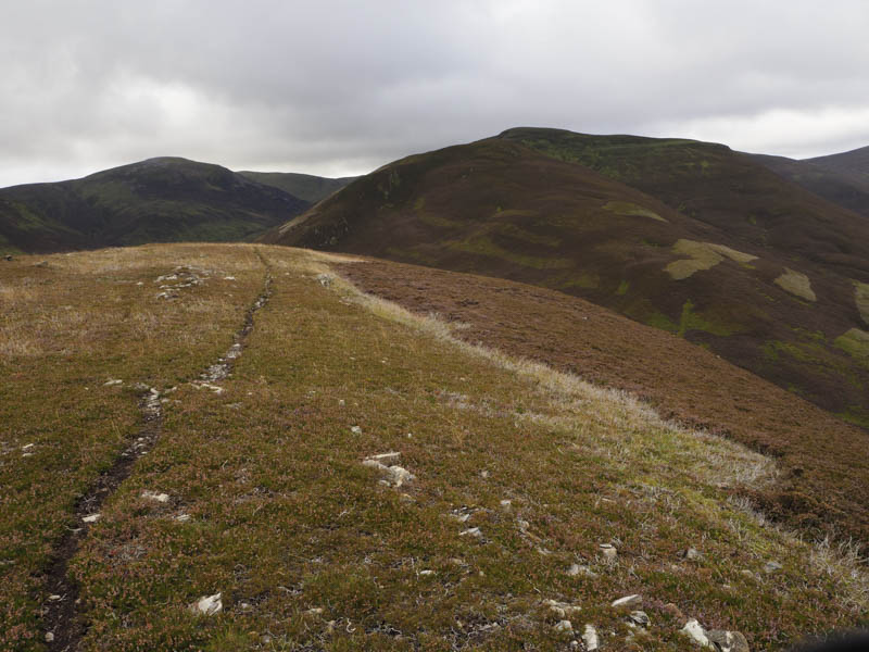
The return was by the ascent route.
Carn Phadruig, Creag Loisgte and Creag na Dearcaige – I left my vehicle at the east side of the A93 Braemar to Glen Shee Road, south-west of the car park at Auchallater, as there was a charge to leave your vehicle in the parking area. I then used animal trails to cross an area of grass to join the vehicle track up Glen Callater where a sign stated that stalking was taking place and to stay on the tracks.
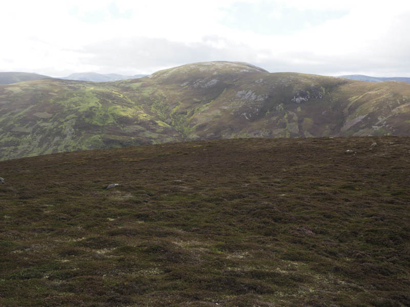
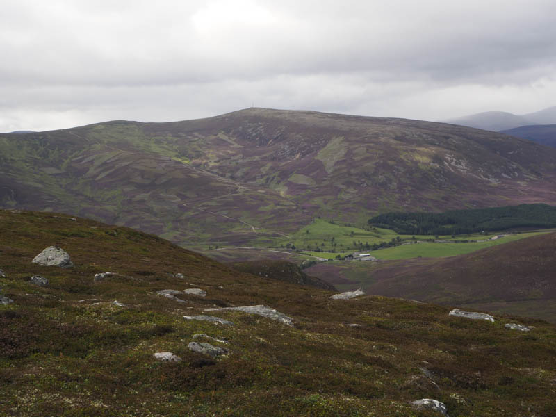
On reaching and crossing the bridge over the Callater Burn, which was more like a small river, I left the track and climbed east through rough ground, boulders and heather into Corrie Ghiuthais. On the other side of Glen Callater sheep were being rounded up and taken off the hill as well as some shooting which I thought was the grouse being killed.
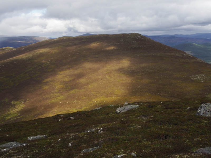
From the corrie I climbed to the summit of the Sub Simm, Carn Phadruig, where I encountered a heavy shower.
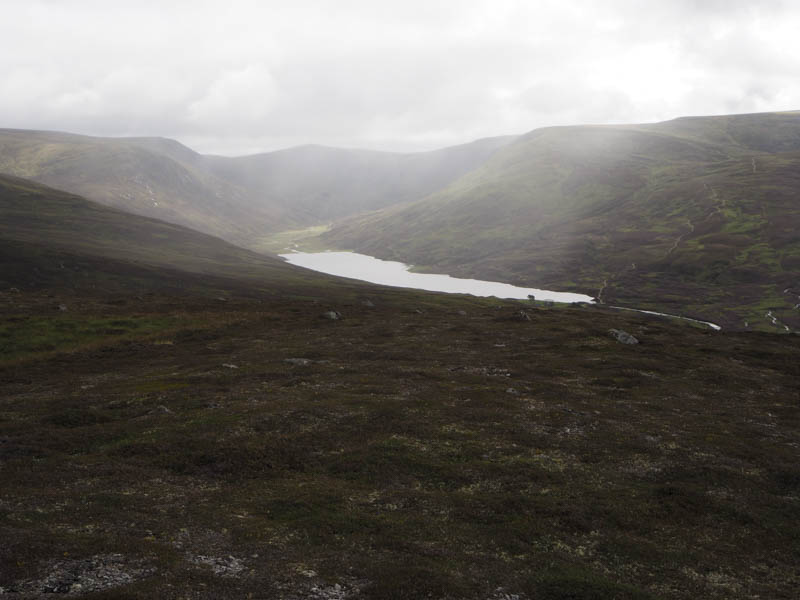
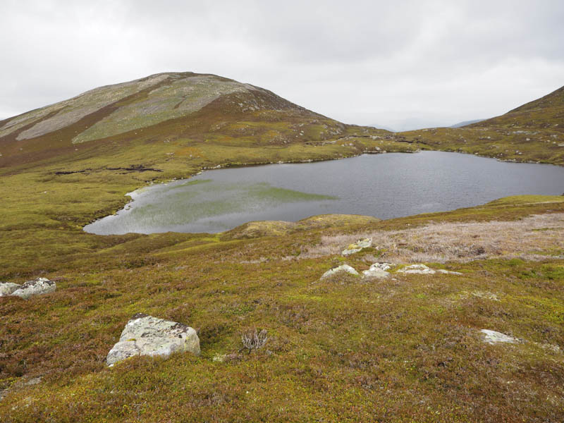
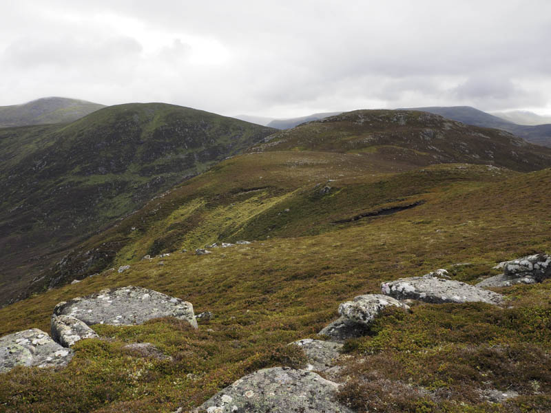
Its descent took me to the east side of Loch Phadruig where I ascended the Hump and Corbett Top, Creag Loisgte, which I had climbed before. I then descended north and climbed to the summit of the Sub Simm, Creag na Dearcaige, the highest point being a rock 50 metres south of a small cairn.
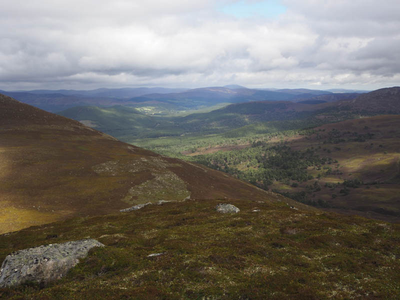
The descent west took me through steep and rocky ground and a few boulder fields to reach the Callater Burn at its junction with the Allt a’ Choire Ghuirm. I then walked down the north side of the burn between it and a deer fence and later there were traces of a path. On reaching the A93 there was a hole in the fence which I crawled through to reach the main road and the short walk back to my car.
- Total time – 5.75 hours.
- Total distance – 14.25 kilometres.
- Total height climbed – 725 metres.