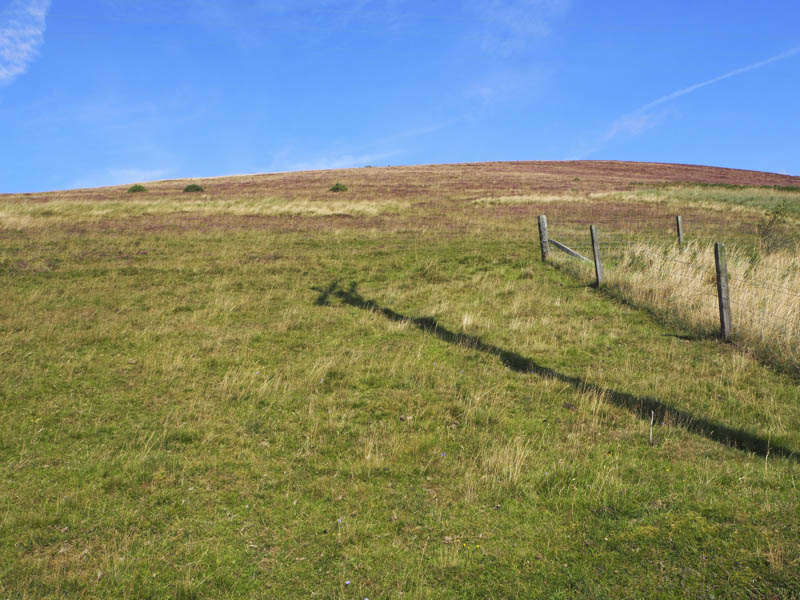
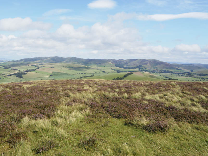
It was my final day in the Border Hills. The first stop was north of Dolphinton on the A702 where I parked in a lay-by on the east side of the road then walked east along the track towards Kippit Farm. I crossed a barbed wire fence and a field containing sheep before entering a wooded area. Once through the trees into a second field I climbed to the monument marking the summit of the Tump, Kippit Hill.
South of Dolphinton and the crossroads junction with the A721 I parked at the east side of the A702 near a stock gate. I passed through this gate and climbed Broomy Law crossing through fields and a couple more gates. Higher up I was zapped while attempting to cross one of the several electric fences. On gaining the south-west ridge a vehicle track led to the summit of this Marilyn which was beside the communication towers.
To the south-west was the Tump, Castle Hill. I parked on rough ground close to the houses at Candybank west of the A702 at Candy Mill and walked west along a farm track. I then crossed a field of cut grass waiting bailing and onto the trig point which was amongst long grass.
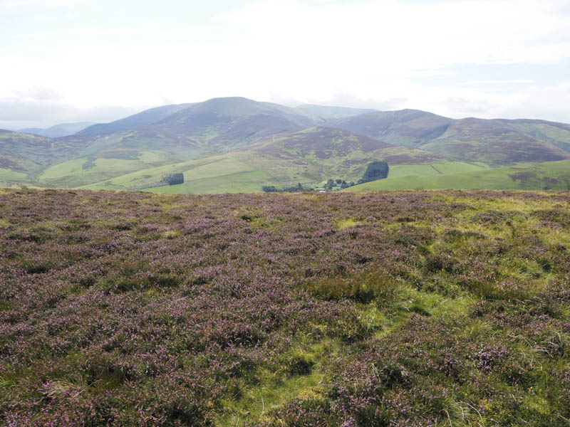
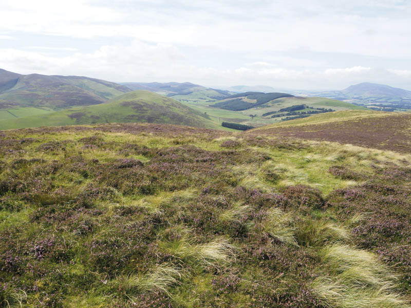
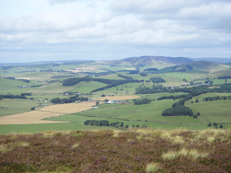
Thereafter I travelled to south-east of Biggar and left my car in an old quarry just off the unclassified road to the east of the house at Goseland and south-east of Goseland Hill. Once through a gate I commenced the ascent of this hill.
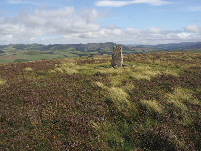
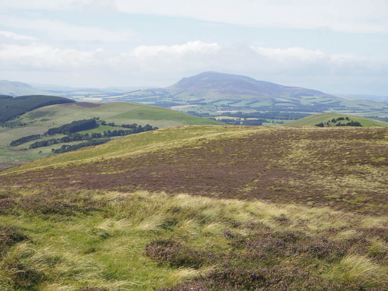
It was a steady climb initially on short vegetation but as height was gained the heather was a bit longer. On reaching the south-east ridge of this Marilyn there was a faint path that led to the summit trig point.
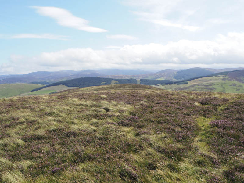
On the return route I came across and used a quad vehicle trail which descended a shallow gully towards the house at Goseland. Prior to reaching this house I cut across the hillside to the start.
I then drove back, west, along the unclassified road passed the house at Goseland and parked in a small quarry beside the trees south-east of Knowehead Hill. Once over a gate and into a field it was a steep climb alongside the west edge of the trees and onto the summit of this Tump.
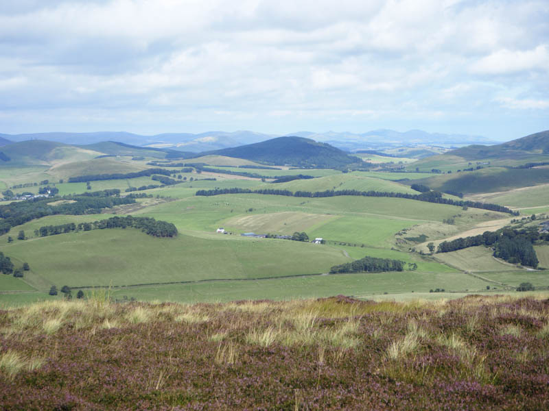
From there I descended to the col with Hartree Hills and followed a defunct electric fence later crossing it and a stone dyke to reach the high point of this Tump. I returned towards the col then descended to the east side of the small plantation and headed back to the start.
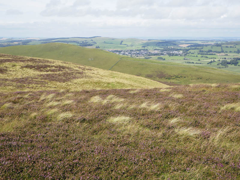
The final hill of the day, the Tump, The Knock, was located to the west of the town of Biggar. I parked at the top end of Westercrofts Brae and walked up a grassy path which came to a sudden end amongst fallen trees. I crossed a couple of fences and fields before entering the wood where the underfoot conditions were rather rough. I located the summit area and wandered about a bit as the highest point wasn’t obvious.
- Total time – 4.75 hours.
- Total distance – 10 kilometres.
- Total height climbed – 630 metres.