Cnoc a’ Choire Bhuidhe – North of Bonar Bridge I parked on the verge of the minor road south of the road end at Garbh Leathad and beside the access track to the communications tower. I walked up this vehicle track, a bit eroded as stones and rubble had been washed away, and this took me through the trees and heather and onto the open hillside. I passed through a couple of gates, the first one was open but the next one was shut as sheep roamed beyond.
A newish house, which appeared unoccupied, was passed then there was another open gate as the track ran above the derelict farm at Lydsurach and to the communications tower and its outbuildings where there was no security fence. I walked round the buildings visiting a few highpoints marking the summit of this Hump.
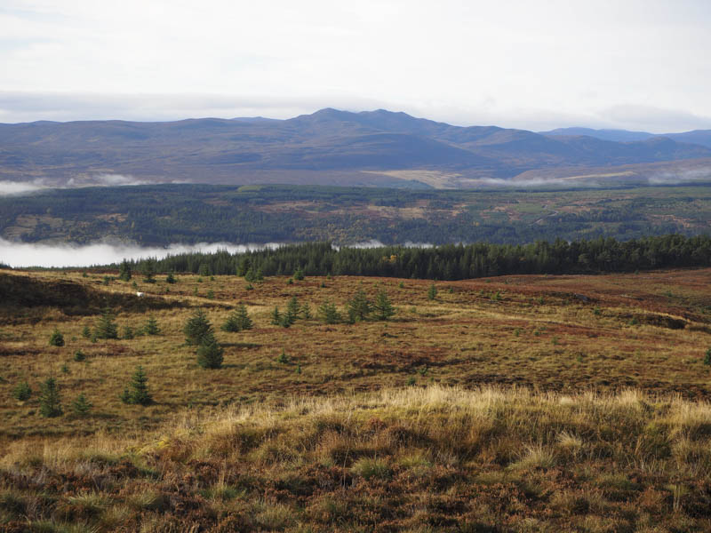
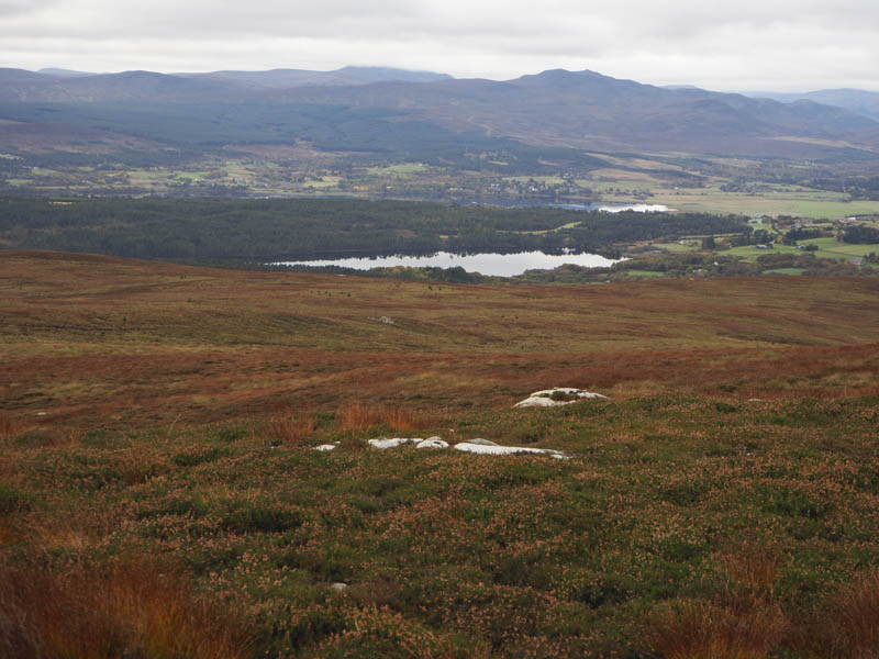
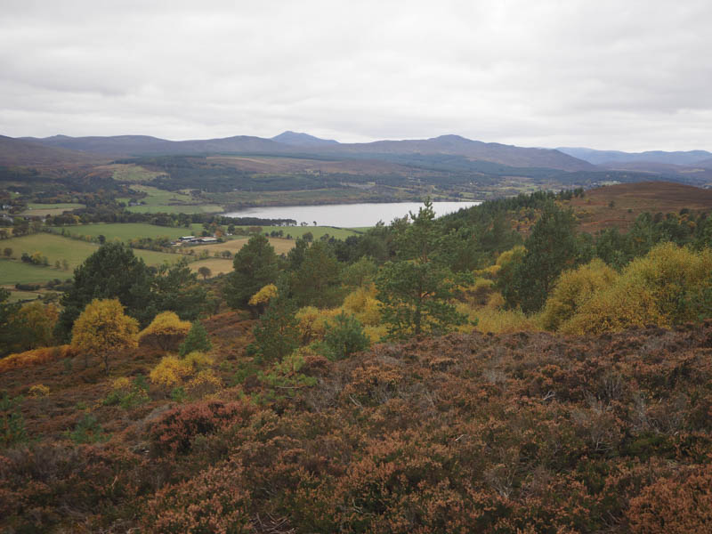
I sat here for a while taking in the views towards the mountains of Assynt before returning by the ascent route.
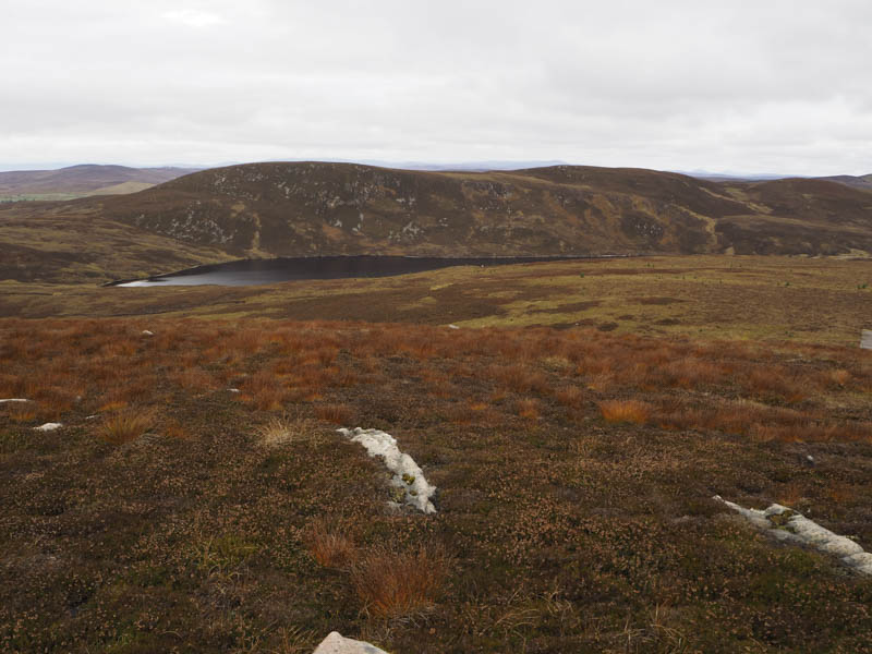
Cnoc Dubh Mor – I parked beside the sheep pens on the minor Airdens to Spinningdale Road north-east of Bonar Bridge and at the start of a vehicle track that led to Loch a’ Ghobhair. I had been along this track in 2011 when I ascended the Marilyn, Creag a’ Ghobhair, but that was before I was aware of Humps.
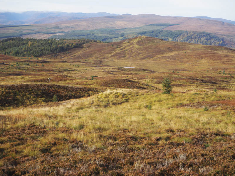
I walked up this track to opposite the south end of Loch a’ Ghobhair and here I left the track and climbed south-east through long heather, tussocks and mossy ground to the cairn marking the summit of the Hump, Cnoc Dubh Mor.
The return was by the upward route.
Migdale Rock and A’ Chraiog – I drove further south on the minor Airdens to Spinningdale Road to east of Kyloag and the start of the woodland walks. There was limited parking here but I managed to get my vehicle off the road at the edge of a wide passing place before walking back to the start of the track through the forest.
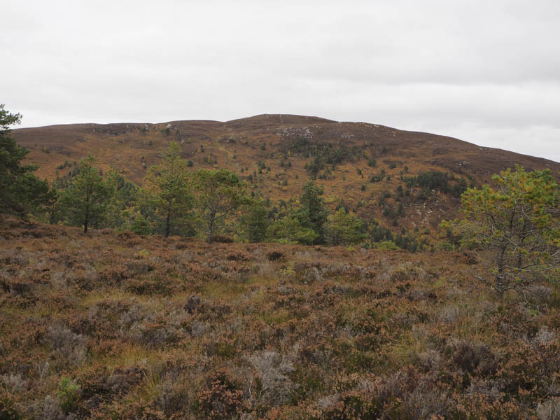
This track was followed south-west then west looking for a suitable point to leave it and head to a gap in the crags its grid reference displayed on my GPS. With no obvious route amongst the trees I left the track and climbed through high bracken, moss covered rocks and fallen branches making progress very slow and awkward. Higher up there appeared to be some deer tracks which assisted in getting me beyond the gap.
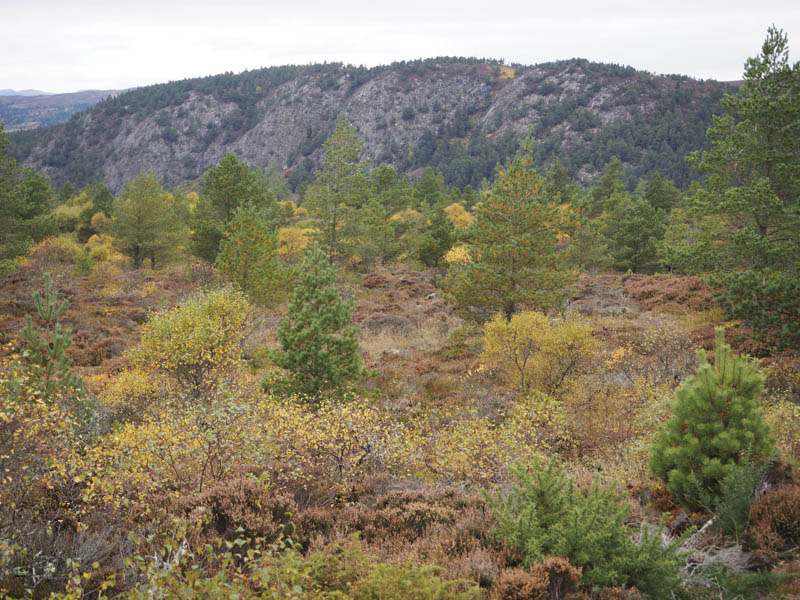
I then crossed heather and some boggy ground and went through well spaced trees to reach a cairn on an outcrop marking the summit of the Hump, Migdale Rock. Due to the trees there were only limited views.
The return was through the gap then the forest, the descent being slightly easier by mainly following some deer tracks.
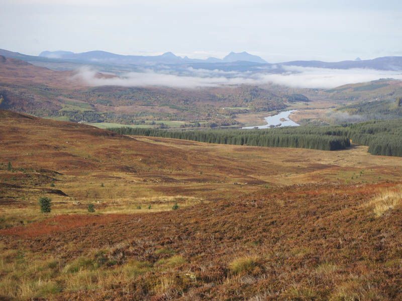
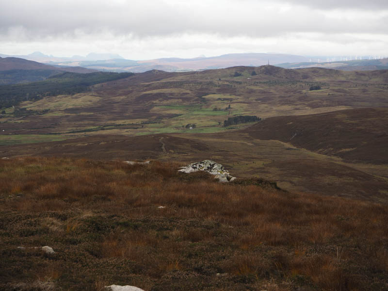
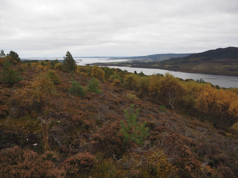
On reaching the vehicle track I headed east to a junction of tracks then south-east crossing the Spinningdale Burn via a bridge. This track then ran below A’ Chraiog and continued west so I left it and climbed through long heather, mossy boggy ground and young trees. Higher up I came across another vehicle track which crossed the hillside but I ignored it as it wasn’t shown on my map. I continued through the rough vegetation and just before the summit of this Hump I again came across this track which led to the summit cairn. The highpoint of A’ Chraiog was ground 10 metres north-east of the cairn.
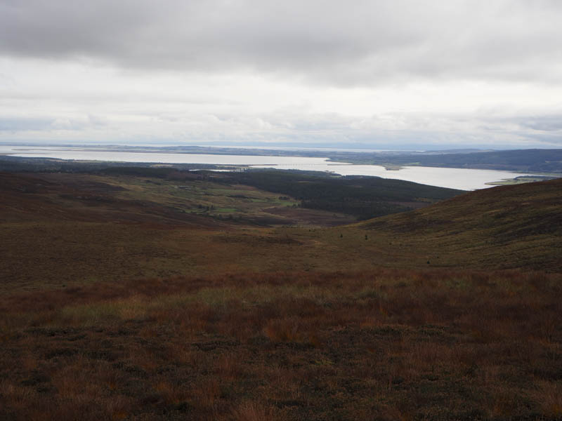
The track continued in a north-westerly direction so I decided to follow it. I’ve no idea which was the shortest route back as the track initially headed in the wrong direction and only gradually turned east passing what I now know to be the junction of the circular route to A’ Chraiog. Sometime later I reached the point where I had left track to ascend this hill then continued on the descent back to the public road.
- Total time – 6.25 hours.
- Total distance – 19.75 kilometres.
- Total height climbed – 825 metres.