Ord Hil: Left my vehicle near Corrachie Cottages, located east of Munlochy and south of the A832 Munlochy to Avoch Road, and walked west along a vehicle track then crossed a couple of gates and a barbed wire fence. This gave access to a grassy avenue through the trees and led to the summit of the Tump, Ord Hill. The return was by the approach route.
Tourie Hill: This Tump was also located east of Munlochy and Ord Hill above. I parked on the minor road to the west of the house at Drum and from there crossed stubble fields to enter a wooded area with gorse bushes. The summit of Tourie Hill appeared to be adjacent to the roof of a concrete building. I then returned by outward route.
Wood Hill: Parked at the south end of the village of Avoch and walked up the minor road to the access road leading to Castleton Farm. I headed along this farm road and before reaching the farm buildings walked along a grassy path that took me round the north and east sides of Ormond Castle. I visited this ruin which consisted of some stones before I rejoined the path and headed for Wood Hill.
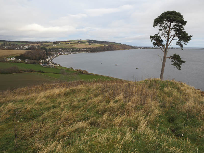
This path crossed a forest track then disappeared to be replaced by some fallen trees and gorse bushes which had to be negotiated to reach the trig point, the summit of the Tump, Wood Hill.
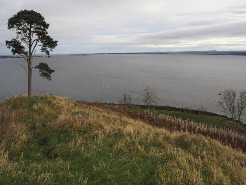
The descent was in a north easterly direction through a cleared section of the forest and over brash to reach a track used in this clearance. Eventually I gained the path that ran round Ormond Castle then descended to a coastal path that returned me to Avoch.
Ord Hill: This Ord Hill was located north of Avoch. I left my car at a junction of two minor roads east of Bog of Shannon Wood and walked east along a vehicle track to just beyond its highest point. The summit of this Tump appeared to be on the track. I returned back along this track.
Hill of Fortrose: From the unclassified road north-west of Fortrose and south of Wester Craiglands Farm I walked north-east then south-east along a vehicle track before crossing a gate and passed a quarry. The track deteriorated into a quagmire as cattle had been fed here so I crossed a barbed wire fence and entered a wood where the trees were well spaced. Another fence had to be negotiated and this took me into a field where the trig point marking the summit of the Hump, Hill of Fortrose, was located. Horses were feeding nearby from a trough. The return was by the upward route.
Flowerburn Hill: Parked on the minor road south of Janefield Farm, just off the A832 Rosemarkie to Cromarty Road north-west of Rosemarkie, and walked to the junction of these roads then briefly along the tarred road towards Flowerburn Mains. On leaving this road I crossed a field, went through a copse of trees and entered a second field where I wandered around ensuring I visited the highest point of this Tump. The return avoided the trees by heading directly to the Flowerburn Mains Road.
Gallow Hill: From the car park at Sutors of Cromarty, east of the village of Cromarty, a gate led into a field where I passed some ruined buildings then a slight descent led to a barbed wire fence. Once across it I climbed the Tump, Gallow Hill, although I had to cross another fence to reach the trig point. The return was by approach route.
- Total time – 4.25 hours.
- Total distance – 15 kilometres.
- Total height climbed – 435 metres.