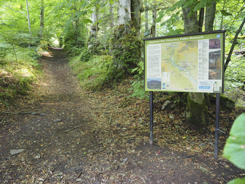
It was an early start from the small car park on the Baledmund Road, accessed from Moulin on the A924 north of Pitlochry, where I followed the signposted path through the woods, crossing a vehicle track a couple of times, before emerging from the trees.
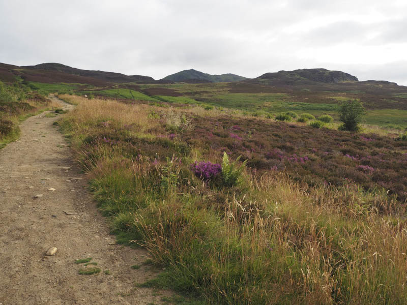
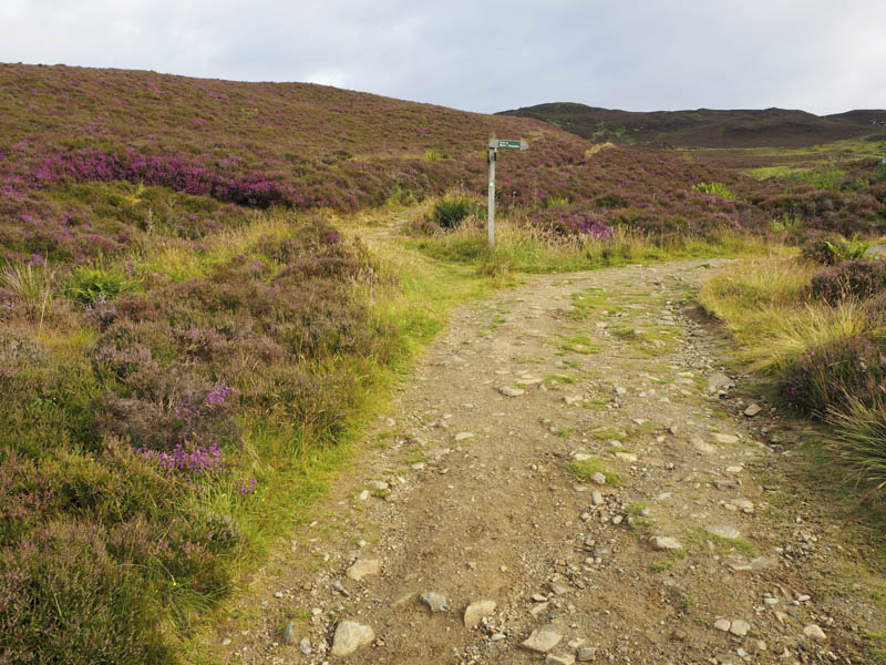
Further on I came to a junction of tracks and another signpost and here took the left hand track marked Bealach Path and Killiecrankie.
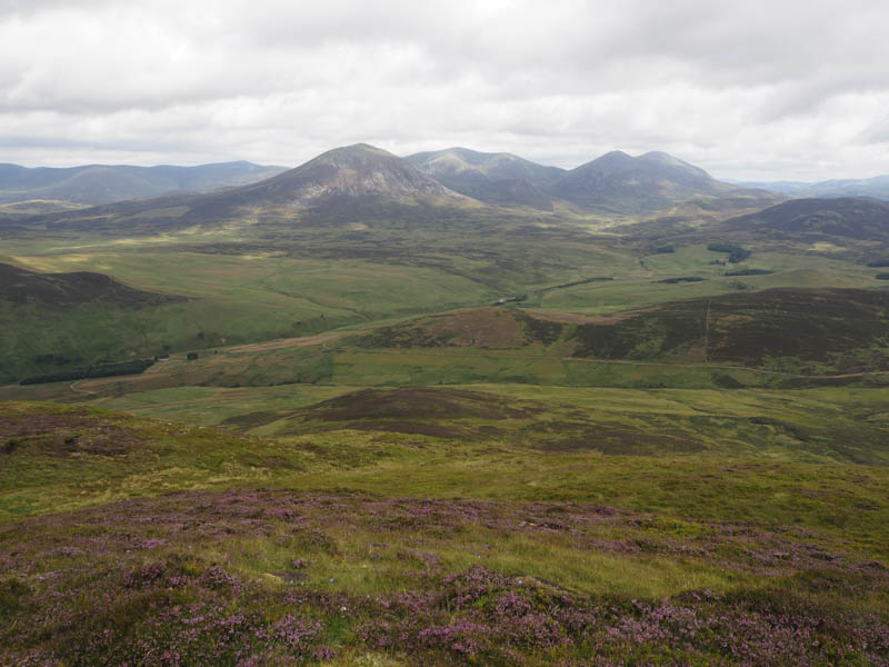
This led to the bealach between Meall Uaine and Meall na h-Aodainn Moire and here I left the path. It was then a steep climb onto the Graham Top, Meall Uanie, where I visited both tops. The first one was marked by a small communication tower while the other by a small cairn and I thought it appeared the highest.
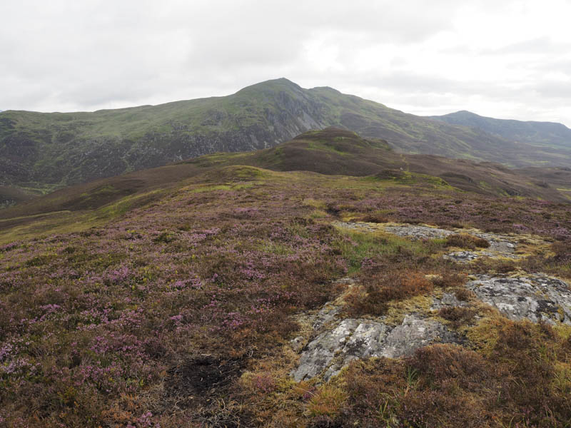
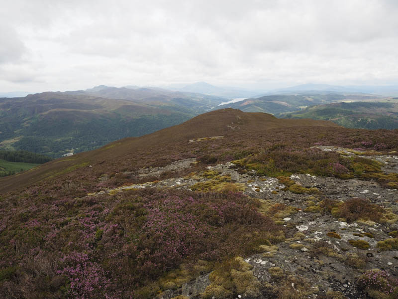
I returned to the bealach and from there walked up an ATV track on the south face of Meall na h-Aodainn Moire before leaving it and ascending to the summit of this Graham Top and Hump.
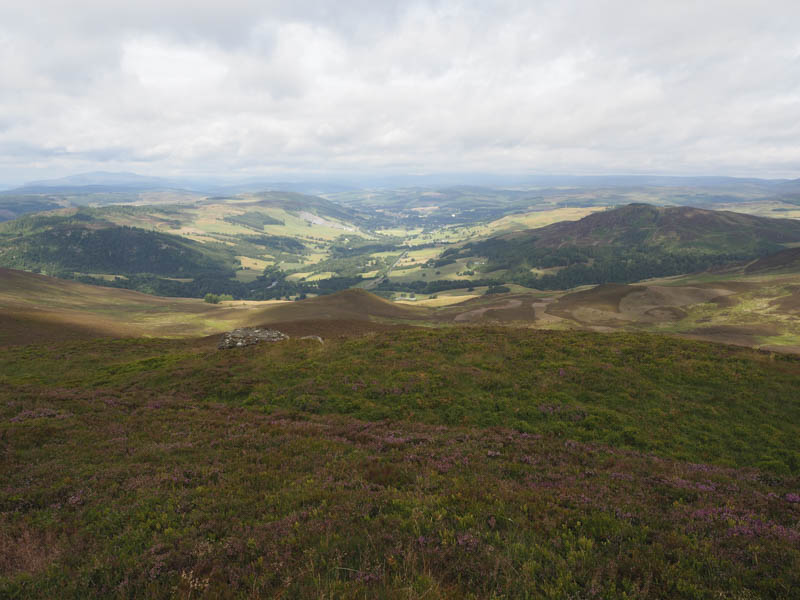
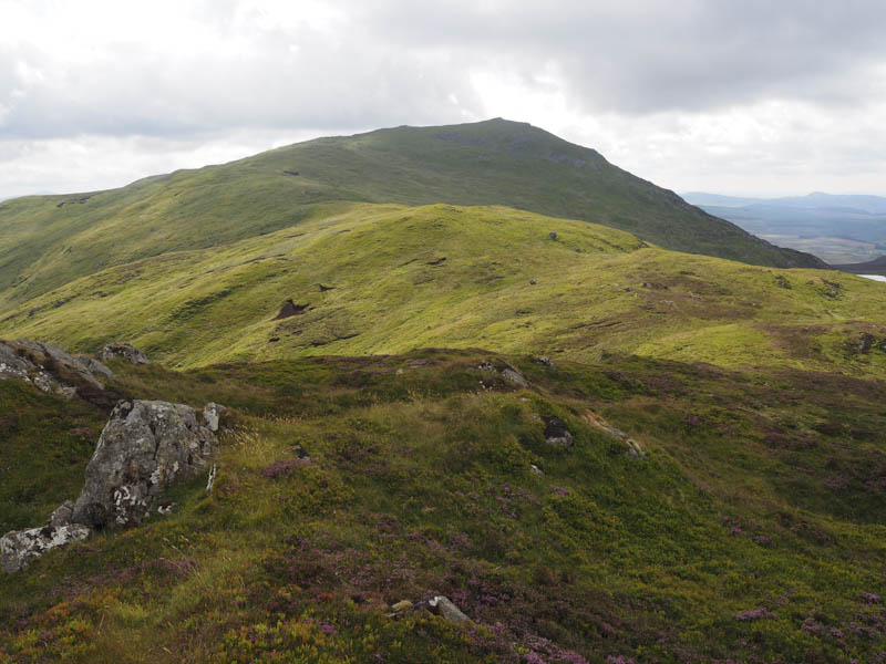
The descent north took me through some long heather to a col which would usually be boggy but not on this occasion due to the recent dry spell. I continued in a northerly direction using some animal trails, passing the crags of Meall na Moine to the east, before ascending the Graham Top, Meall an Daimh.
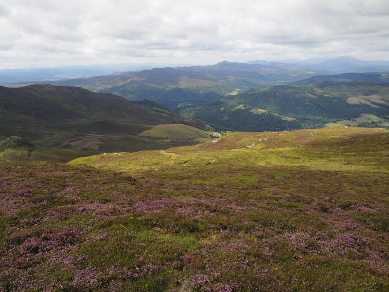
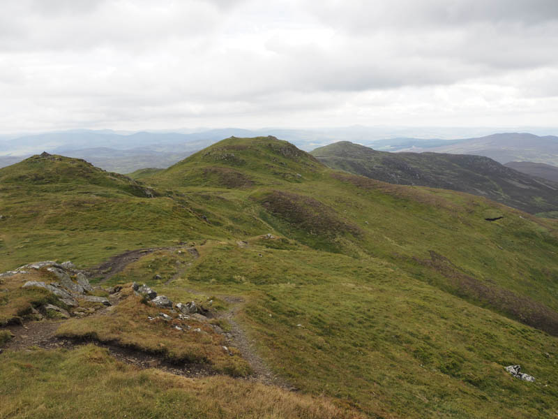
After a break I descended south-east before making the gradual ascent onto the trig point and cairn marking the summit of the Corbett, Ben Vrackie. There were a few folks here, the first people I had met all day except for the local farmer who was out looking for his sheep.
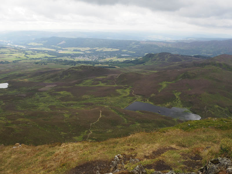
The descent was by the normal route, fairly steep with lots of rocks used to create a ‘staircase’ which was a bit hard on the knees! On reaching Loch a’ Choire the gradient eased and further down this path I left it briefly to climb through more long heather to gain the summit of the Tump, Creag Bhreac. On returning to the path I continued on my descent back to the car park meeting a steady stream of walkers on their ascent.
- Time taken 5.25 hours.
- Distance – 14 kilometres.
- Height climbed – 1005 metres.