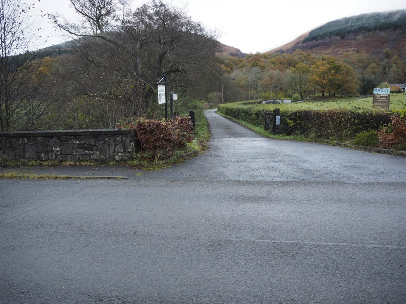
I parked in the lay-by on the B829 Aberfoyle to Stronachlachar Road, east of Kinlochard and opposite the road leading to Ledard Farm. I then walked up this farm road until just before the buildings where a sign indicated the route to Ben Venue. This took me across the Ledard Burn, via a narrow wooden footbridge, and into the forest.
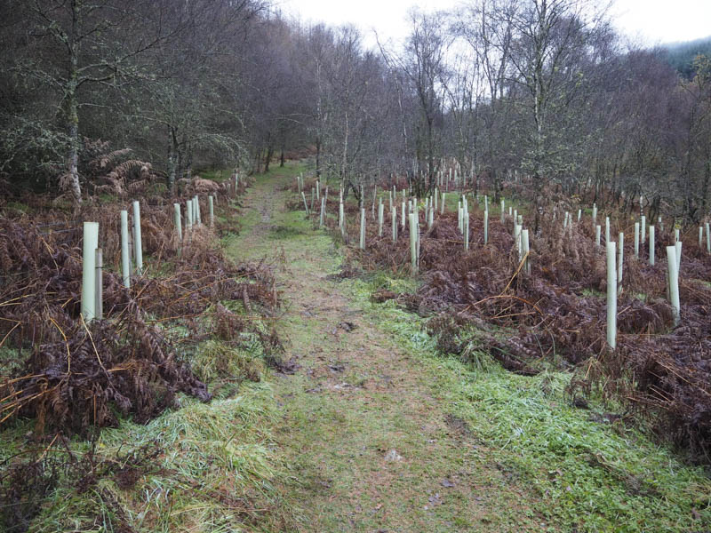
The path, which had a couple of short steeper sections, headed up the west side of the burn and through the trees. In places the path was wet and muddy and there was a section protected by wooden slats.
Higher up I emerged onto the open hillside and further on crossed the Ledard Burn via a number of narrow metal beams. Beyond there was a stile, which was in the need of repair, so I opted to use the gap in the deer fence.
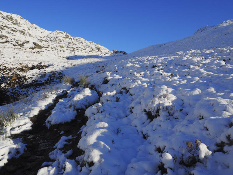
By this point I had reached the snow covered hillside but the line of the path was still obvious as walkers had used it, probably the previous day. As I approached the Bealach na h-Imriche the path was less obvious due to the depth of the snow.
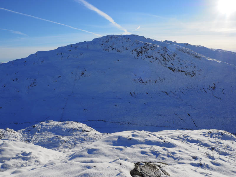
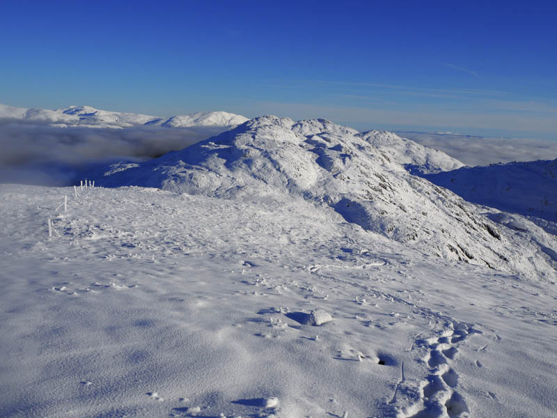
On reaching this bealach I crossed the stock fence and turned left as my destination did not include Ben Venue but the two Graham Tops, to the west. I was surprised to see a set of old bootprints in the snow heading up Beinn Bhreac but it did make for an easier ascent on what was a fairly rocky hill.
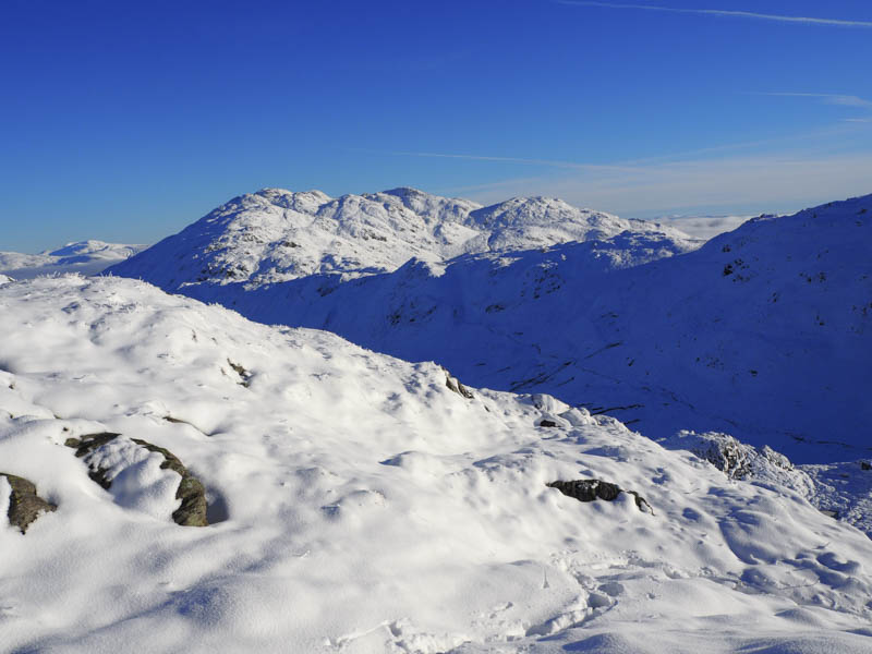
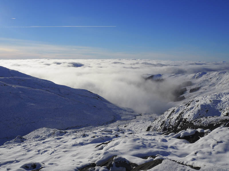
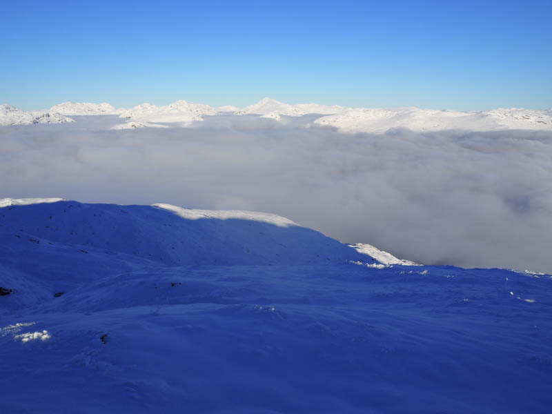
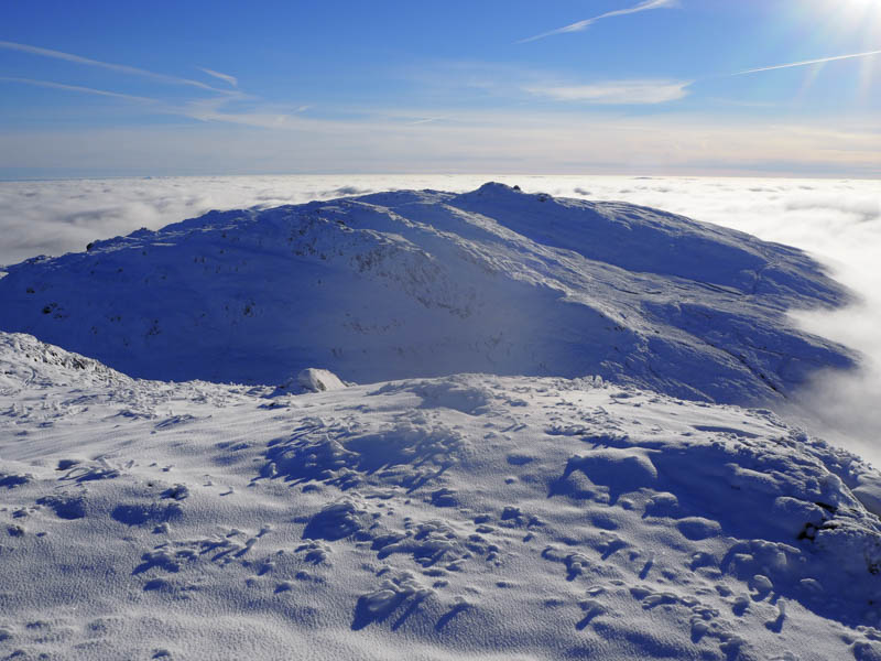
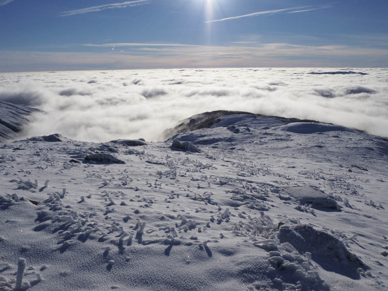
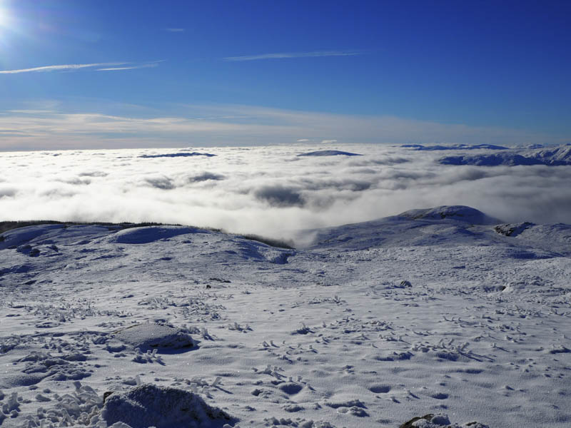
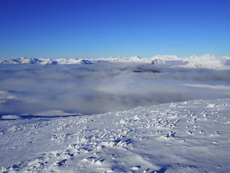
I was now well above the cloud and on reaching what appeared to be the highest point of this Graham Top there were some awesome views of the snow covered mountains.
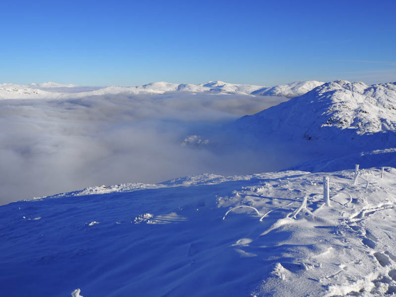
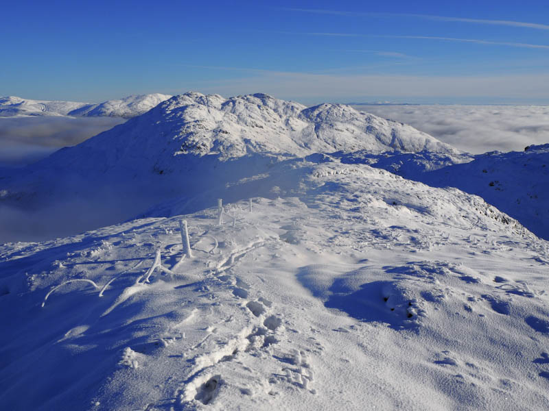
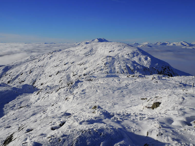
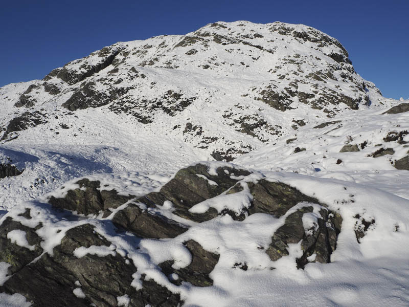
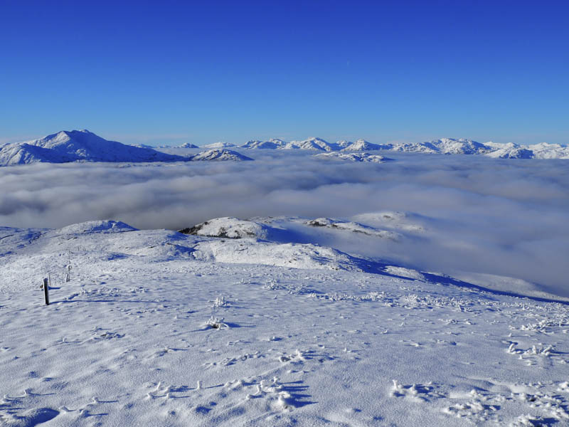
The fence I crossed earlier ran over the tops of Beinn Bhreac and Beinn Chochan but at times its route was across rocks so I continued to follow the bootprints through the snow which was around a foot deep. It was an easy descent to just south of the col with Beinn Chochan then initially a fairly steep climb keeping to the south of the cliffs. The gradient later eased and I followed the trail through the snow to reach the summit of the Graham Top and Hump, Beinn Chochan.
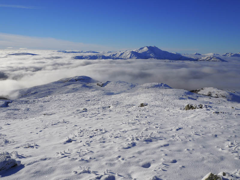
I remained here for some time taking in the views before descending south-east still following the bootprints as they meandered to avoid rocky outcrops. A tributary of the Ledard Burn was reached and crossed then lower down there was only a thin covering of the white stuff so I no longer had the benefit of the trail being broken for me. I later re-crossed the burn and walked down its west side, between it and the forest plantation, and here it was rather wet and boggy with evidence of an ATV track. This took me to the point where I had crossed the burn earlier that day so it was then just the case of descending by the path back to my car.
I later discovered from a web site that the trail I followed over these two Graham Tops was actually made on the Friday, two days before my visit.
- Time taken – 5.25 hours.
- Distance – 8.75 kilometres.
- Height climbed – 715 metres.