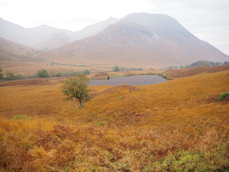
I drove down Glen Etive, accessed from the A82 east of Glen Coe, and parked on an area of rough ground on the west side of the single track road just north of the access road leading to Coileitir.
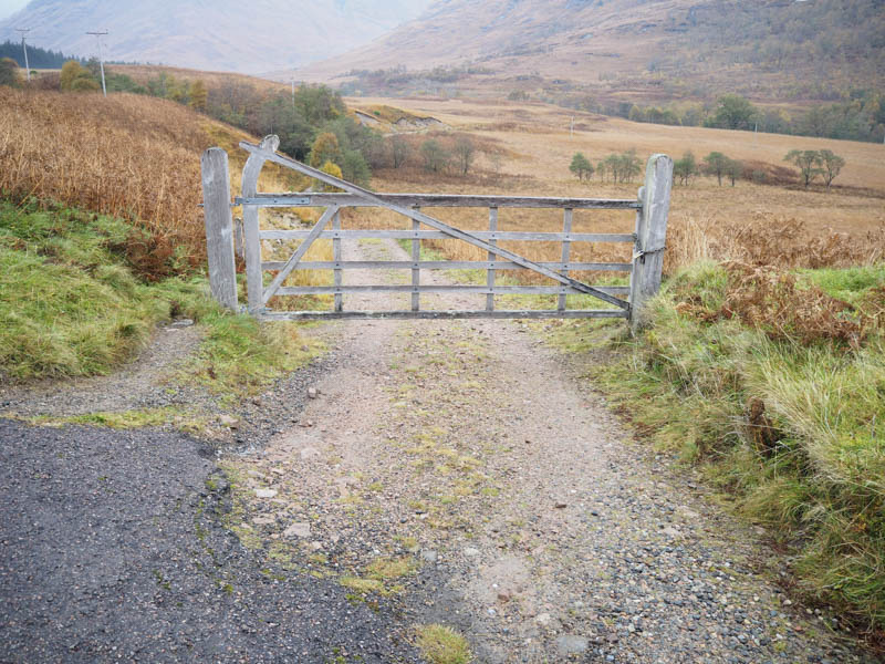
I then walked down this track, crossed the bridge over the River Etive, to a locked gate in a deer fence.
Here a sign indicated the route to avoid the house at Coileitir and its occupants, although there didn’t appear to be anyone using the house at this time. This diversionary route was rather wet and boggy.
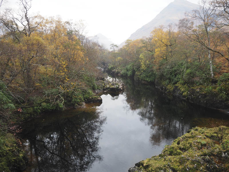
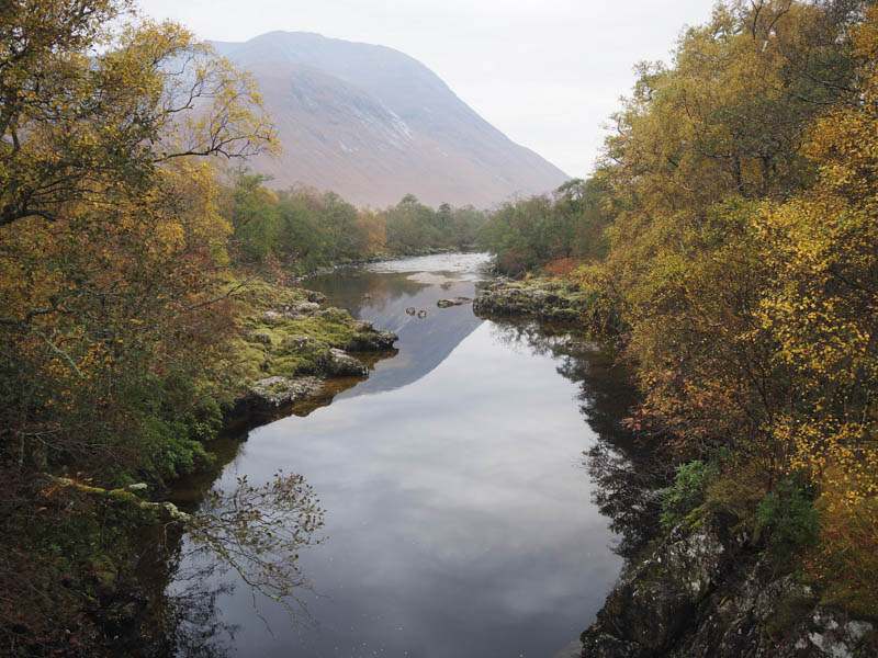
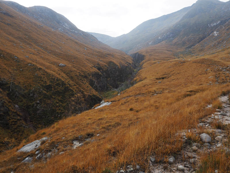
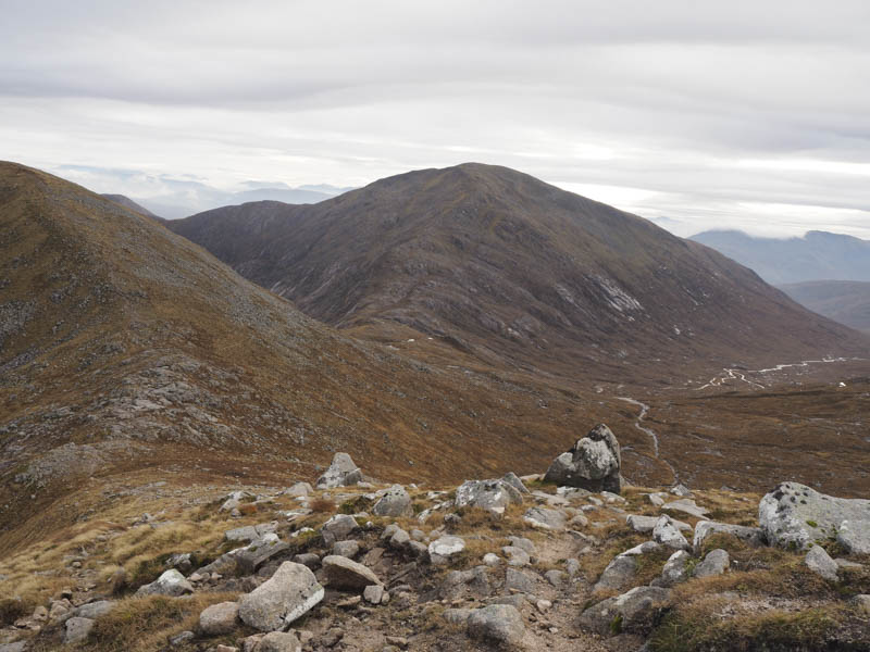
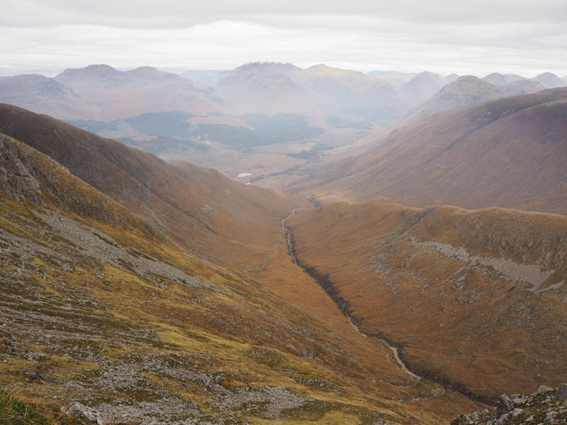
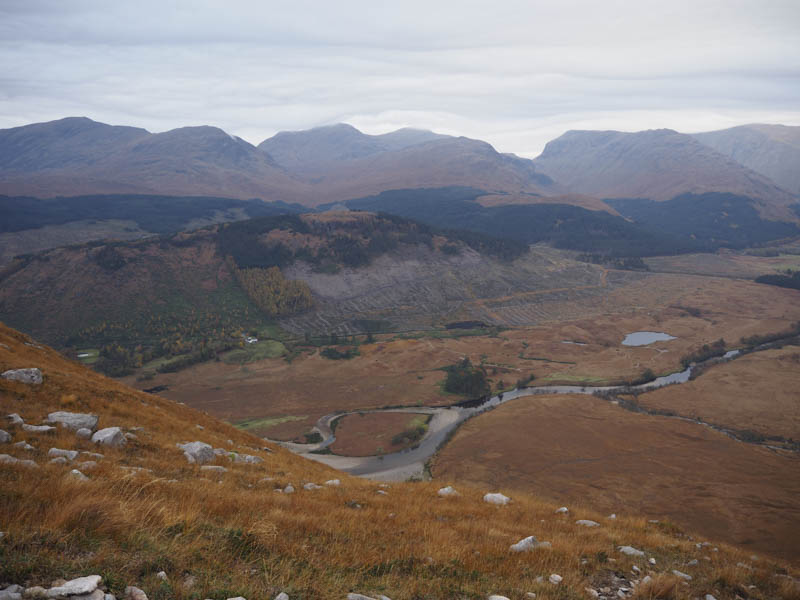
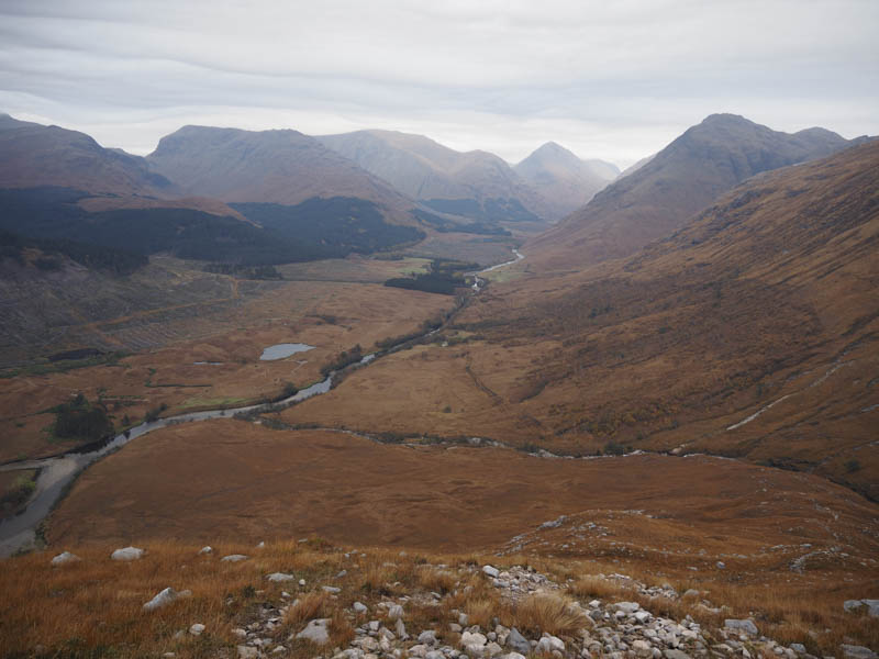
On rejoining the vehicle track I continued south-west along the side of the River Etive as I considered it to be less boggy than the more direct route higher up which ran close to a fence. The Allt Mheuran was reached and its north-east bank was followed until I crossed the bridge. Beyond, the path was pretty wet and boggy with several options to take as walkers searched for the driest route up the south-west then south side of the Allt Mheuran and its tributary the Allt nam Meirleach.
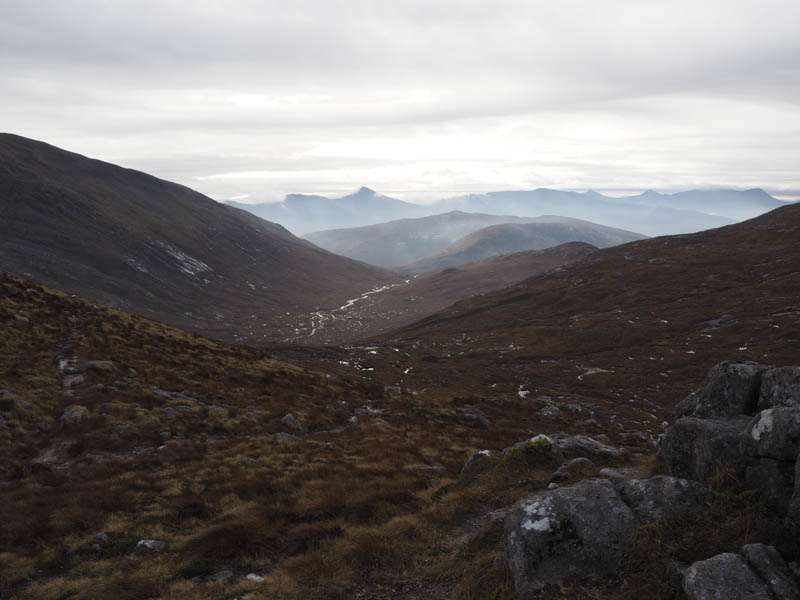
It was mild in the glen and thus warm work as I continued up the path which with height became drier with some erosion. After three hours from setting out I reached the Bealach Lochain Ghaineamhaich where there was a cool breeze.
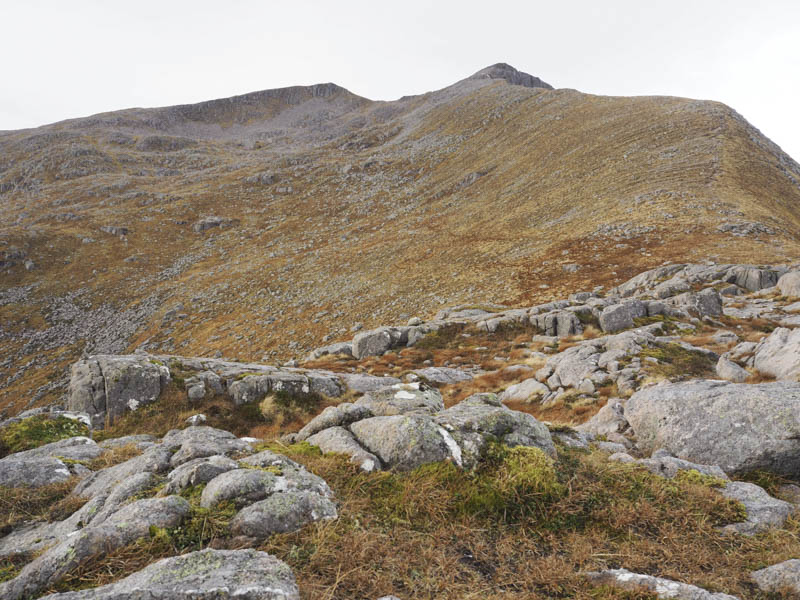
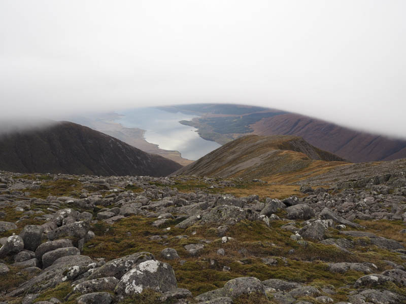
From there I made the easy climb on a path then across a boulder field to reach the summit of the Munro Top, Stob Coire Dheirg.
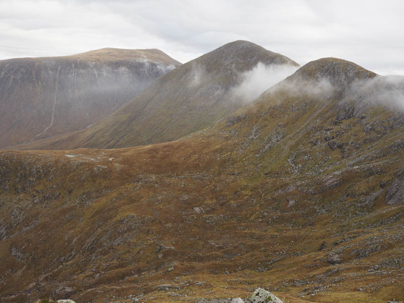
A short descent took me onto a narrowing ridge before climbing to the summit of the old location of the above Munro Top then I made the easy ascent of Ben Starav as low cloud threatened the area.
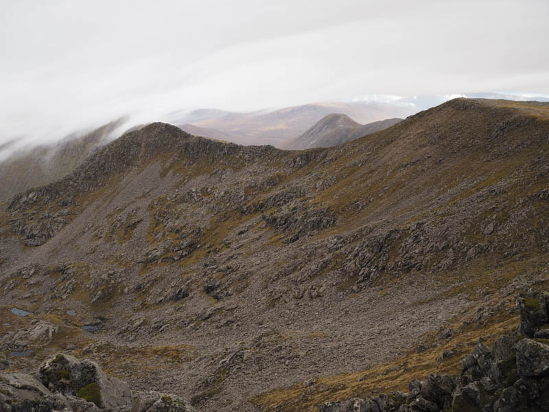
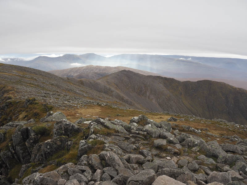
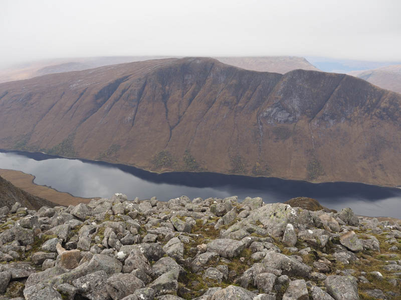
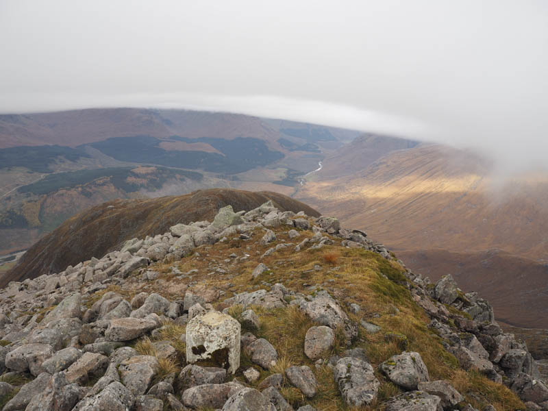
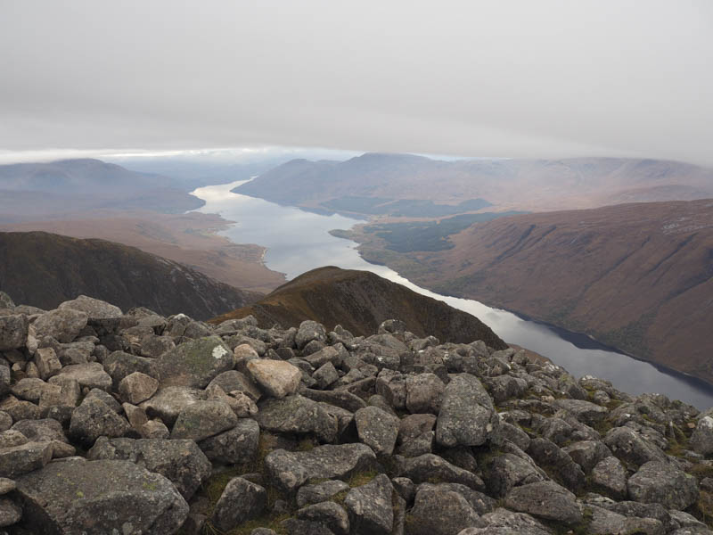
After taking a few photos I headed down the boulder strewn north-west ridge which was a bit awkward.
Lower down the path, which was well worn, became a mixture of peat and stone and took me back to the path beside the Allt Mheuran. I then returned to the start by the approach route.
- Time taken – 8 hours.
- Distance – 13 kilometres.
- Height climbed 1165 metres.