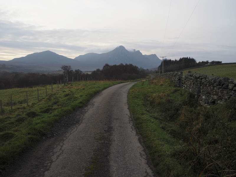
I left my car in the parking area at the start of road leading to Ribigill Farm, south of Tongue, and walked along the tarred road passed the farm buildings. Beyond a vehicle track continued south and was initially in reasonable condition but it soon became muddy with some ice around.
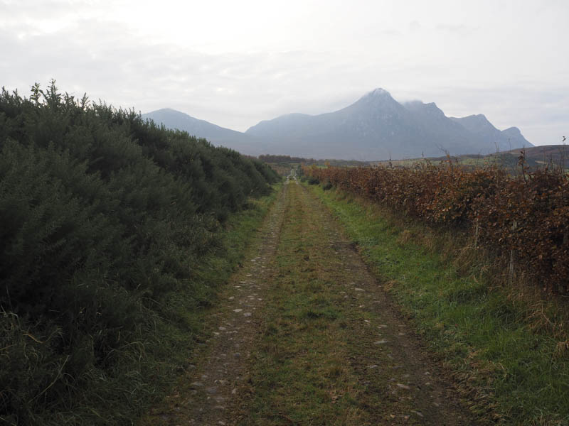
After passing through a gate there was a waterlogged area churned up by cattle. Further south and beyond a second gate the track reverted to a wet and boggy path and at one point was difficult to locate amongst the bog.
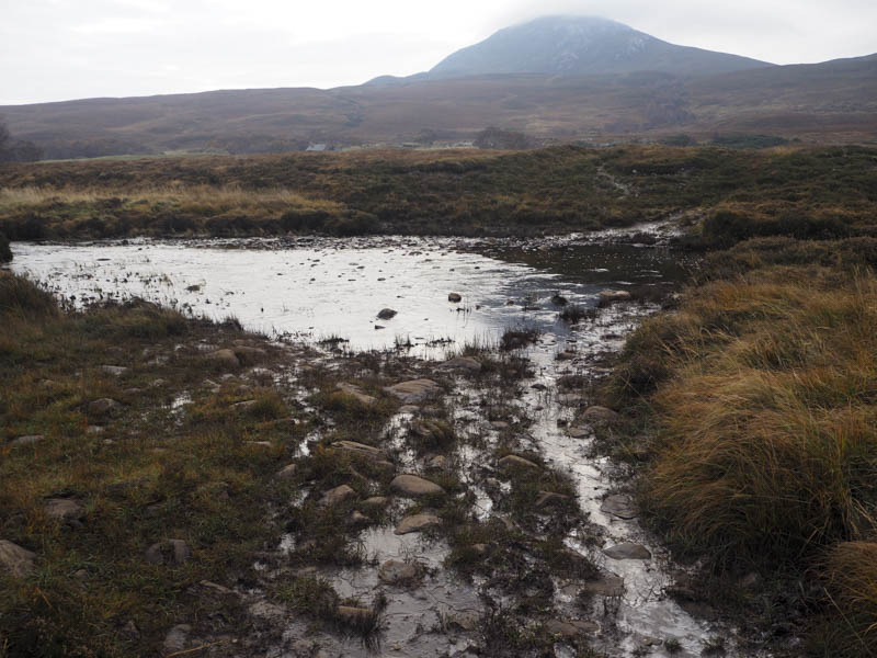
The Allt Lon Malmsgaig was reached and easily crossed at the ford where the burn was at its widest and shallowest points.
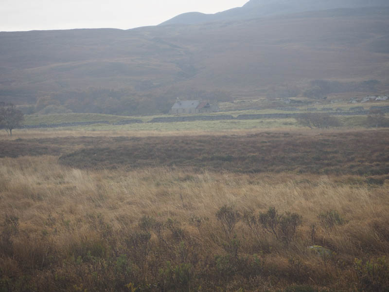
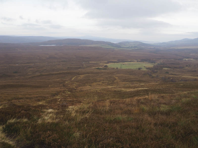
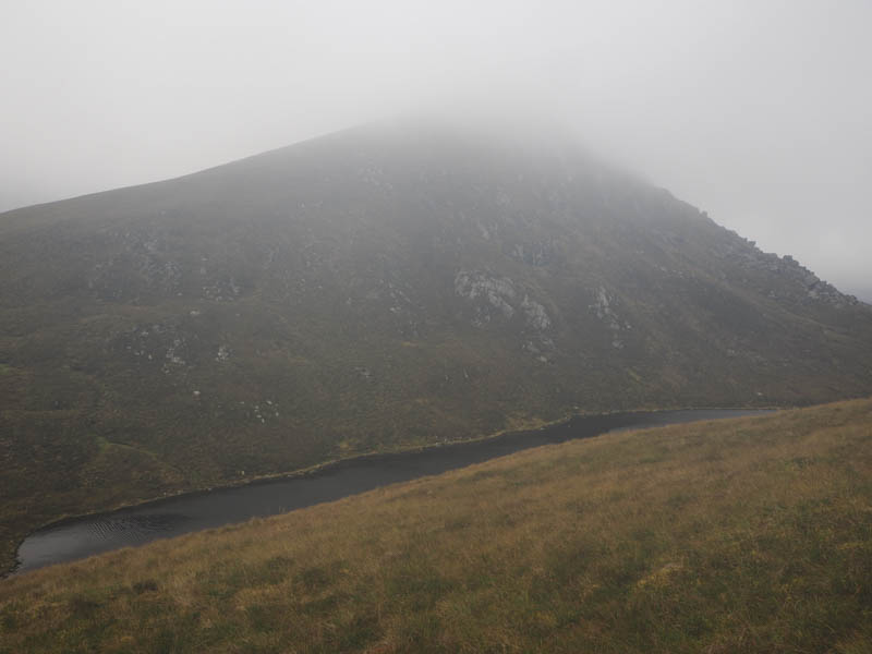
A peaty path then headed south up the side of the stream, Sgriob an Turic, and west of the bothy at Cunside towards the Bealach Clais nan Ceap then into the corrie south of Sgor Chaonasaid and the low cloud.
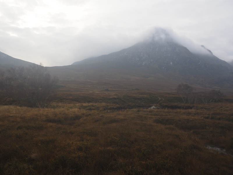
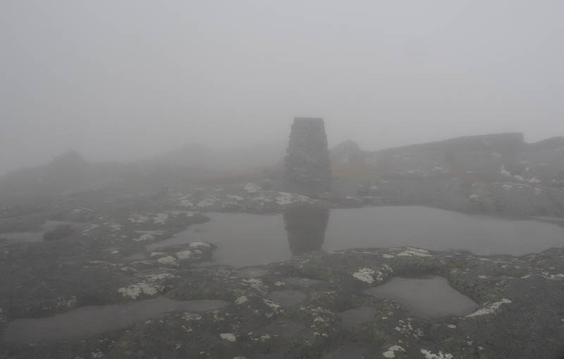
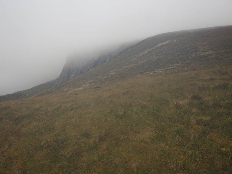
I left the path and climbed south to the summit of the Tump, Creag Riabhach. On rejoining the path I continued towards An Caisteal later losing the line of the path so worked my way onto the west side of the Corbett avoiding the cliffs. I then clambered through rocks, some covered in ice, to reach the trig point then a rock slab which marked the summit of the completion of my third round of Corbetts.
In poor visibility I returned through the rocks and located a path going south towards then below Beinn Bheag. I later left this path and climbed to the cairn marking the summit of this Graham Top. Thereafter I continued south out to Carn an Tionail (uncategorised) where the summit was marked by a cairn. I then headed back towards the col with Beinn Bheag and worked my way below its south-west face to reach the col south-east of Sgor a’ Chleirich. I then climbed over a knoll to the boulder marking the summit of this Graham Top.
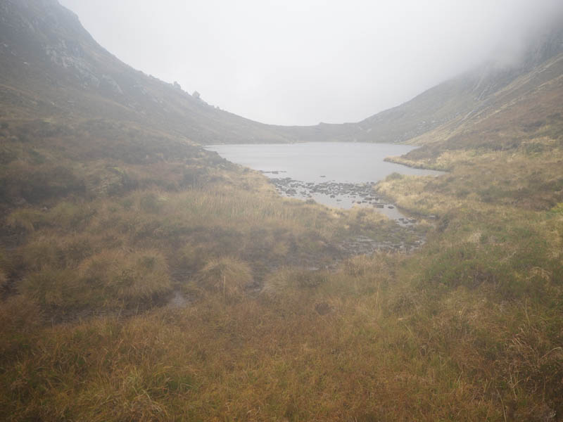
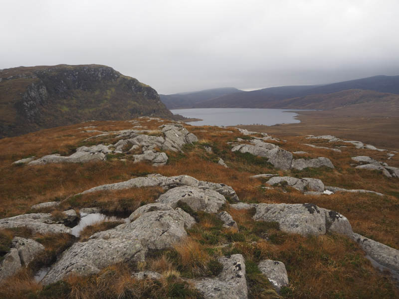
The next summit in my plan was on the other side of Loch Fhionnaich so I returned to the knoll and made a gradual descent to the south side of this loch and out of the cloud.
There were a few trout in the loch’s outflow which I crossed before commencing the ascent of Sgor Fhionnaich. It was a steady climb back into the cloud and to the summit of this Hump.
Here I found some shelter for lunch before descending out of the cloud and back to the south end of Loch Fhionnaich.
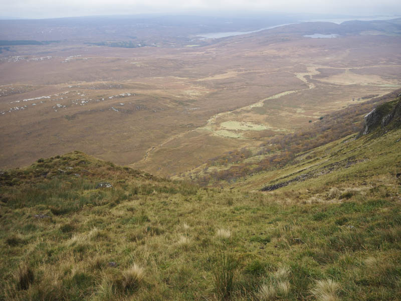
Once over the outflow I headed north along the loch’s east bank where the going was a bit rough in places especially near its north end. A short climb led to the top of Coille na Cuile followed by a steep and awkward descent to some well spaced trees. It was still a bit of a drop avoiding the rocks to reach more level ground.
I then crossed some wet ground and went through long grass before ascending the Tump, Cnoc Malmsgaig, the summit marked by a large boulder.
From there I descended its north-east ridge which led to rough and boggy ground. After over two kilometres across awful underfoot conditions I reached the vehicle track used earlier in the day and returned along it to reach my car as darkness fell.
- Time taken – 9 hours.
- Distance – 22.25 kilometres.
- Height climbed – 1395 metres.