It was raining when I parked just west of West Merkland on the A838 Lairg to Laxford Bridge Road and made the short walk east along the A838 to cross the bridge over the Allt nan Albannach. Here I rounded the locked gate at the start of the vehicle track that ran north-east above this stream.
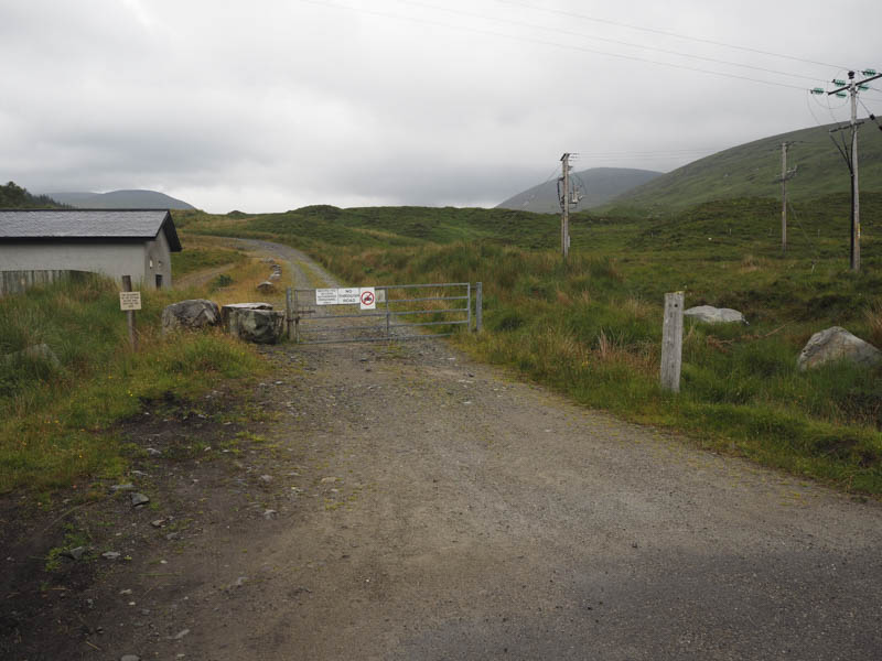
After around one and a half kilometres of easy walking along this track I came to the start of the path that would take me up the south side of the Allt Coir’ a’ Chruiteir. However large boulders were strewn around this stream the result of a storm several years ago. The path had also been affected and there was some evidence of fresh landslips but the path was relatively dry as a result of the recent spell of fine weather.
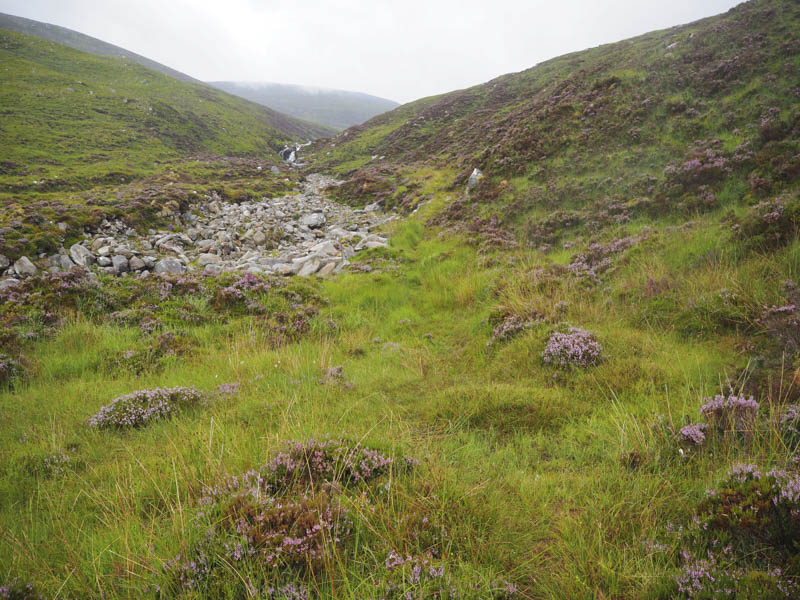
This route took me into Coir’ a’ Chruiteir and the low cloud. I left the path here and climbed to the col between Meallan Liath Mor and Ben Hee which according to a map is named Drochaid Coire nam Marg. From there I ascended Meallan Liath Mor crossing areas of grassy vegetation and boulders.
After a break sheltering from the wind behind the summit cairn of this Graham Top, I returned to Drochaid Coire nam Marg and commenced the ascent of Ben Hee across more grass and rocks with a boulder field just before the trig point marking the summit of this Corbett.
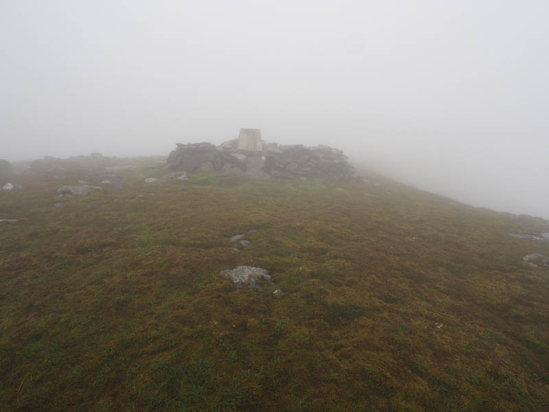
With no views there was little point in hanging around so I descended north then north east round the head of An Gorm-choire where the cloud briefly broke to give me views of Loch a’ Ghorm-choire and across to the Bealach nam Meirleach.
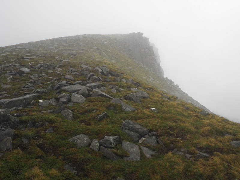
I then climbed onto Ben Hee’s North Top, a Corbett Top, initially fairly steeply but the gradient soon eased and again there were no summit views so I headed off in a north-westerly direction. It was a steep drop to Poll Garbh mainly across boulders although slow going it took me below the cloud base.
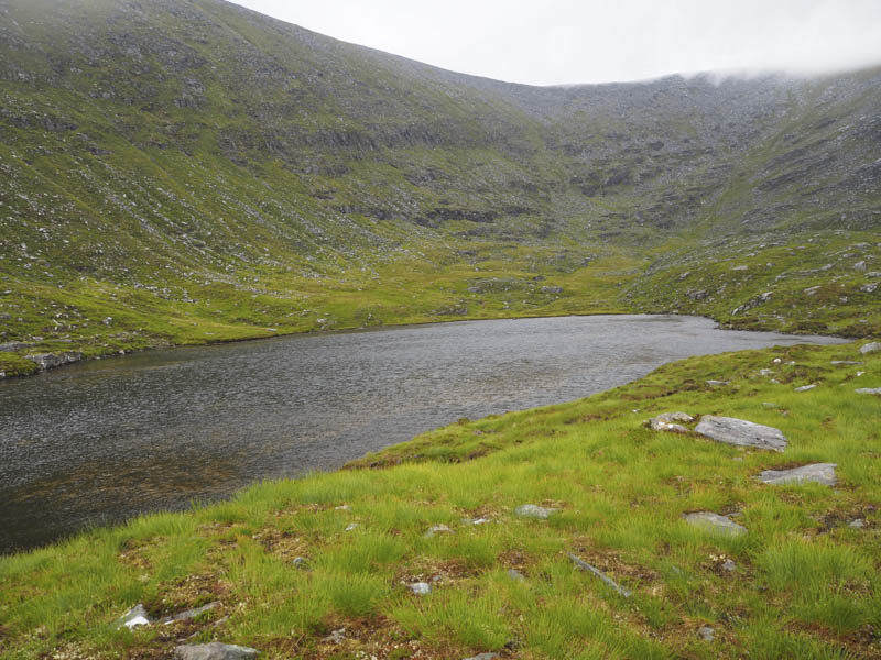
Beyond this lochan the gradient eased and I crossed mainly long heather to reach the path between Loch an t-Seilg and Loch an Aslaird with its stepping stones.
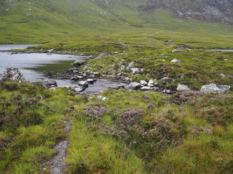
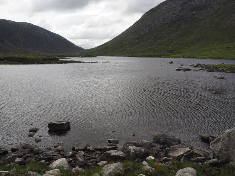
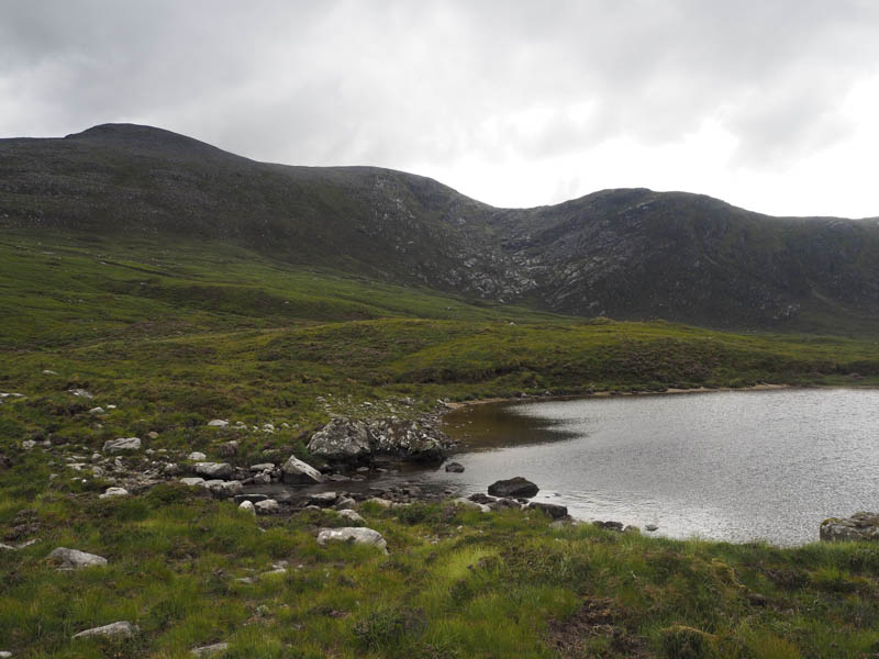
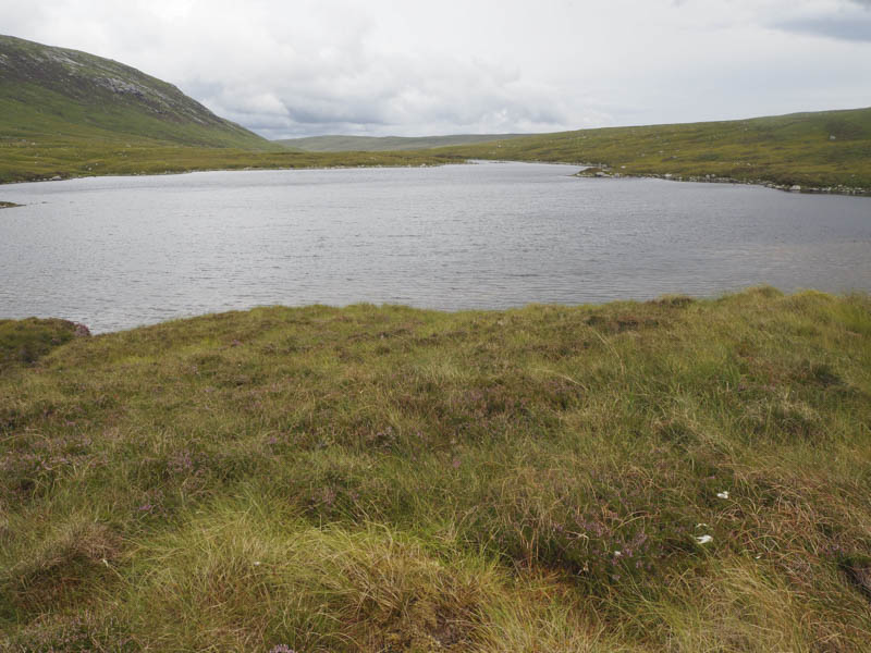
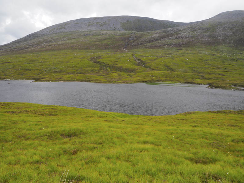
This led to the vehicle track at the Bealach nam Meirleach which was followed it back to West Merkland.
- Time taken – 7 hours.
- Distance 18 kilometres.
- Height climbed – 980 metres.