I parked on the north side of the A85 Tyndrum to Connel Road at the Pass of Brander on an area of rough ground near the access steps to the Falls of Cruachan Railway Station. I walked up these steps towards the station and used the underpass to reach the other side of the railway line. More steps took me passed a power plant then beyond a very rough path through trees and long vegetation eventually led to a deer fence.
Here there was a wobbly stile then beyond it the path was wet and muddy until the tarred road and the bridge over the Allt Cruachan were reached.
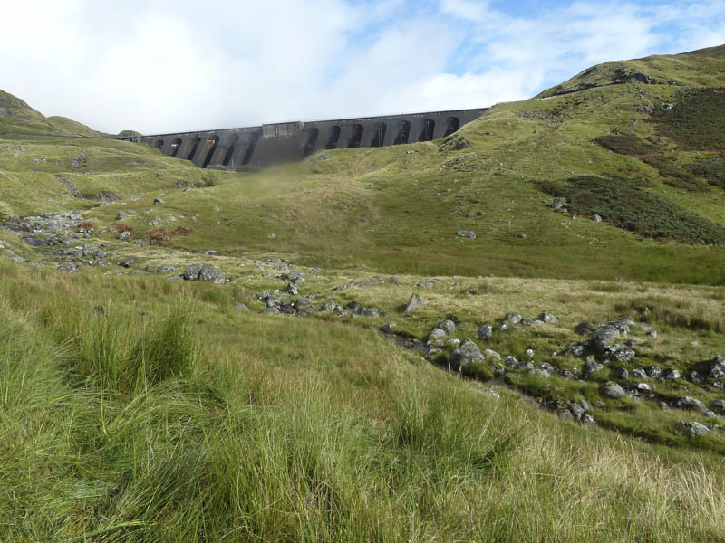
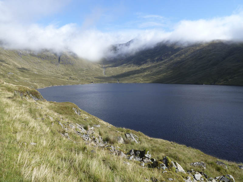
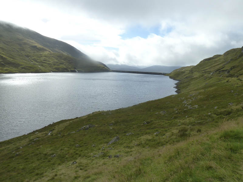
I walked along this tarred road to the foot of the Cruachan Dam then a path to below the steps leading onto the dam itself. Rather than using these steps I crossed a concrete wall and some wet ground to gain the vehicle track on the west side of the Cruachan Reservoir.
This track was then followed north to just beyond the stream flowing down from Coire Dearg.
A cairn marked the start of a path up the north side of this stream and here I made reasonable progress until higher up when the ground steepened and the path became quite rough and eroded.
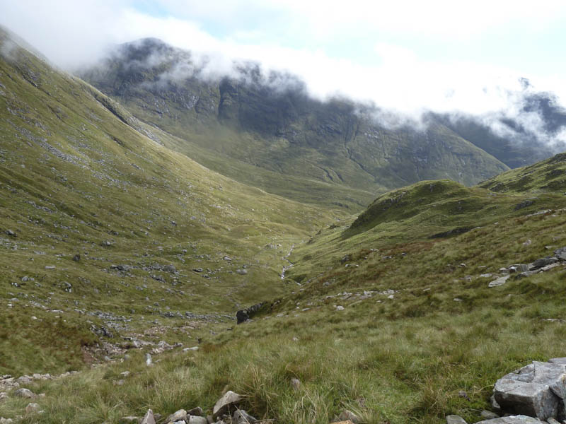
On reaching the col between Meall Cuanail and Ben Cruchan the cloud was down so there were no views from this point onwards. I climbed north up a scree and rock path before reaching easier terrain then higher up a boulder field. Eventually Ben Cruachan’s summit cairn was gained and here I stopped for lunch before returning by the upward route.
- Time taken – 6 hours.
- Distance – 10.75 kilometres.
- Height climbed – 1130 metres.