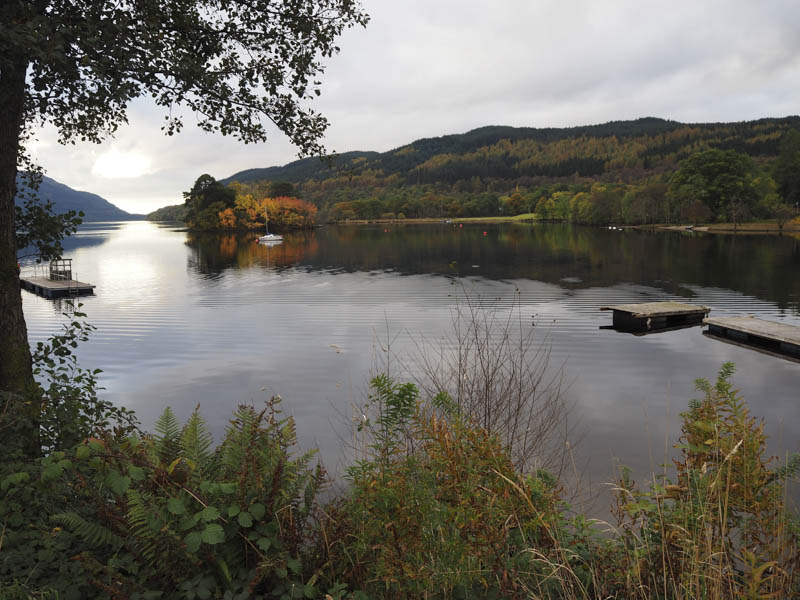
I parked in the car park on the east side of the A82 Glasgow to Crianlarich Road at Inveruglas where it wasn’t obvious if the Pay and Display car park was in operation or not due to the lack of signage. I did pay £2 for four hours but the walk took a lot longer although I did avoid a ticket.
On setting off I walked south along the west side of the A82 to the access road for Coire Grogain then headed up this tarred road passed the new power station and the vacant farm building at Coiregrogain.
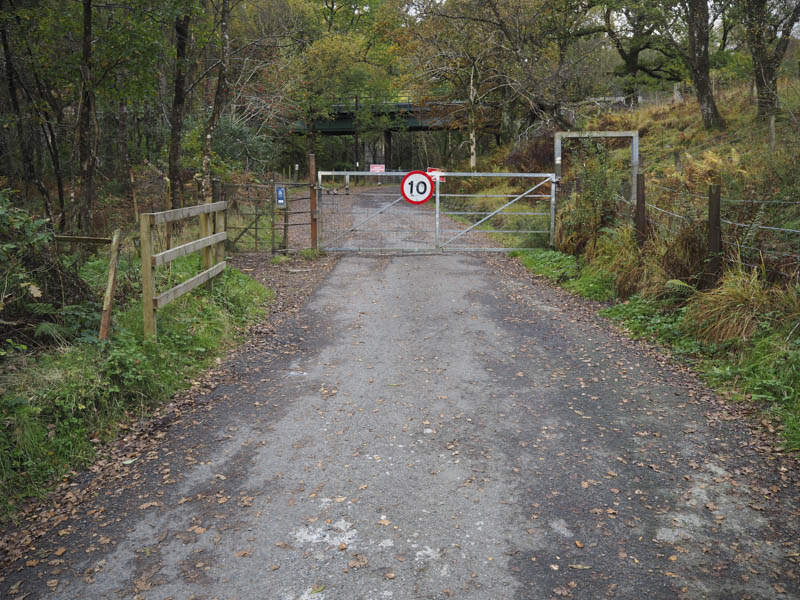
On crossing the bridge over the outflow from Loch Sloy the road surface changed to a mixture of hard core and loose stones. This track continued below Ben Vane and to a dam before entering the forest and Gleann Leacann Sheileach. Prior to the dam I had to take a short diversion to avoid cows on the track.
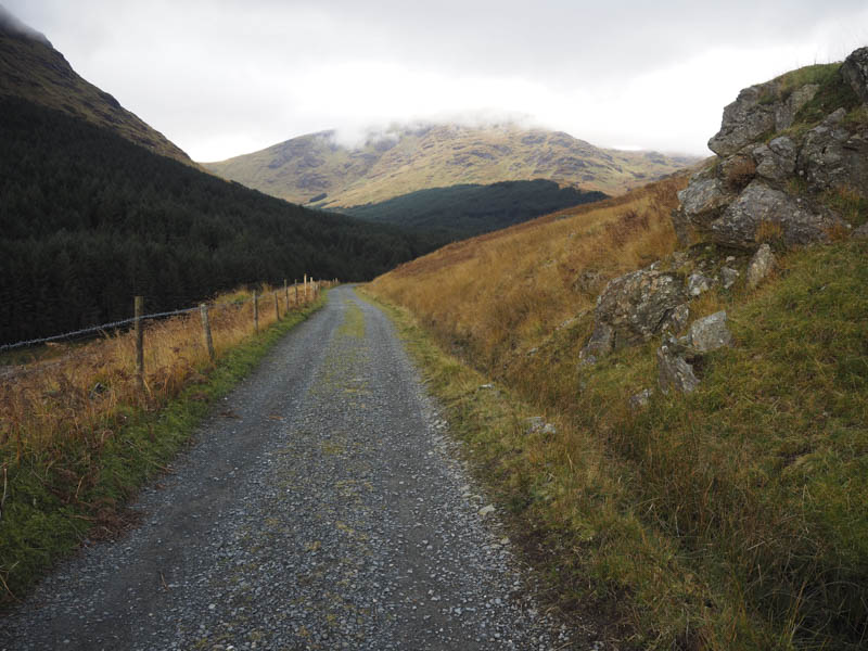
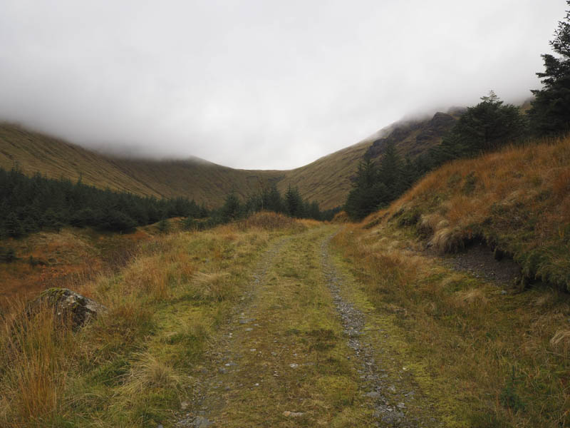
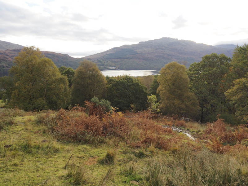
The track through the forest continued well up the glen. Beyond, it was rough going as I stayed well above the north side of the Allt Coiregrogain as there was no evidence of a path to the Bealach a’ Mhaim.
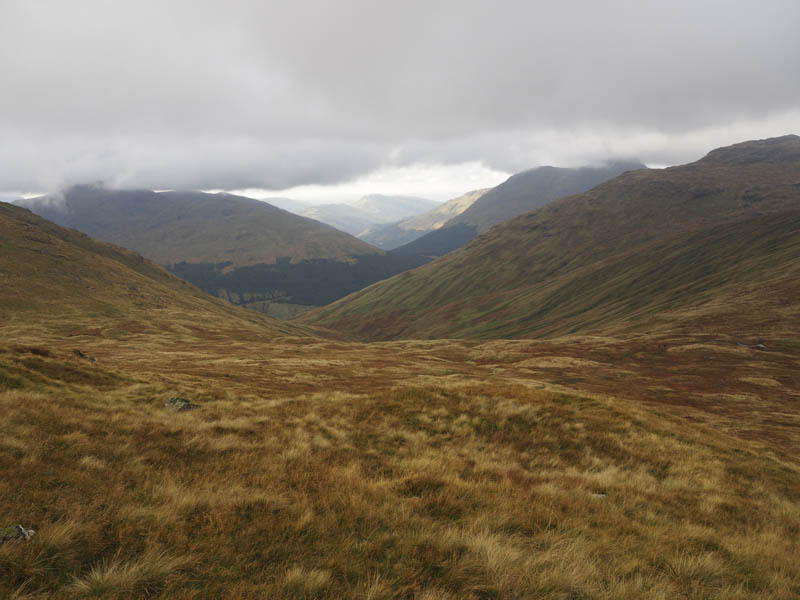
It was a rather steep ascent to gain the path on the south ridge of Beinn Ime where I entered the low cloud. I met several walkers on their ascent or descent of this boggy and in places eroded path which led to the cairn marking the summit of this Munro.
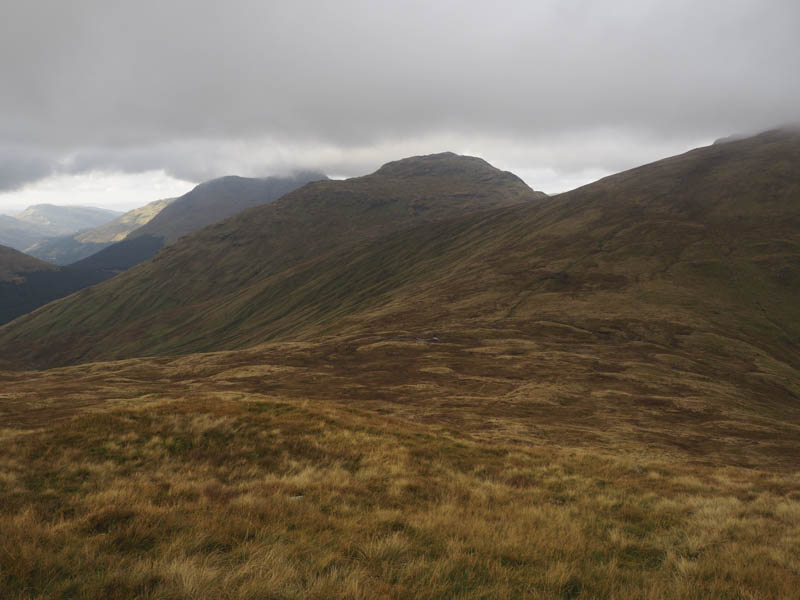
With no views I returned to the Bealach a’ Mhaim and once through a gate commenced the ascent of Beinn Narnain. Again the path was wet in places as well as sections that were rough and eroded. I had briefly been below the cloud base but as I ascended this Munro I was back into the cloud. I reached the summit cairn and then the trig point where there were a few folks partaking of lunch.
I did likewise before returning towards Bealach a’ Mhaim.
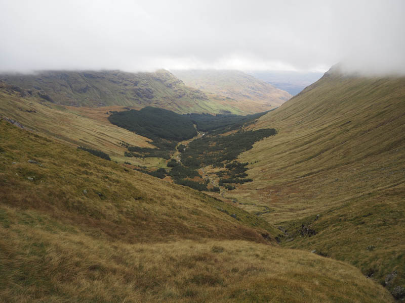
Lower down I left the path and descended quite steeply into Gleann Leacann Sheileach then there were traces of a path on the south side of the Allt Coiregrogain. This took me back onto the forest track.
On my return along this track I saw a sign for the Glen Loin Loop and thought it would be a shorter return route as I had seen a similar sign in Glen Grogain. This track took me along a fire break but headed away from Inveruglas and towards Arrochar. I therefore left the path, crossed some very rough ground including brash, to reach the Loin Water. From there I ascended to the east of Dubh Chnoc working my way round some large boulders before entering the forest. Once through the trees I came to the line of pylons and not long after that the Glen Loin Loop Path and Cowal Way, which took me back to the Coiregrogain Power Station. It was then an easy walk back to Inveruglas.
- Time taken – 8.5 hours.
- Distance – 23 kilometres.
- Height climbed – 1520 metres.