We left my vehicle in the snow covered car park just south of Victoria Bridge after a slow drive along the slightly icy unclassified single track road from the A82 at Bridge of Orchy. There were a few vehicles already in the car park including a camper van.
A path led to the continuation of the road to Victoria Bridge and once across it we walked west on the estate track immediately prior to reaching Forest Lodge.
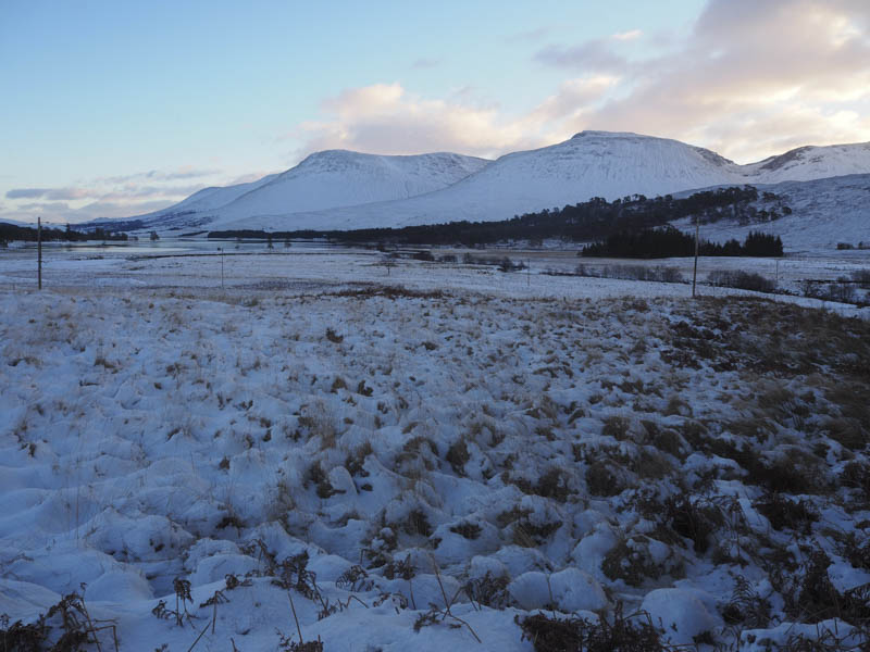
This track soon emerged from the trees and we made reasonable progress to reach a couple of signs indicating the Right of Way to Loch Etive and the ‘Through Route.’
This path along the twisting north bank of the Abhainn Shira was through tussoky vegetation and was full of snow so we opted to continue along the vehicle track passing a couple of tents.
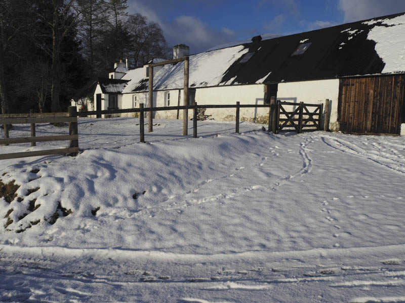
At Clashgour Farm, which appeared occupied although we never saw anyone, the track round the building and towards the Allt Ghabhar was a bit churned up by some young cattle that showed a bit of interest in our presence but never bothered us.
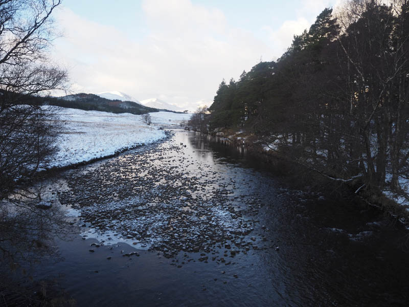
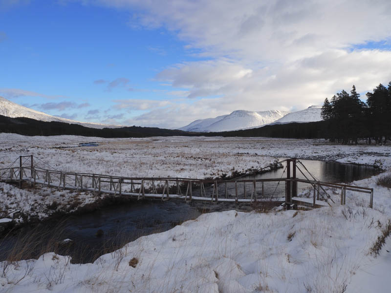
On reaching the burn we crossed it by using the narrow snow covered footbridge and instead of heading down its west bank opted instead to continue straight ahead along a wide firebreak.
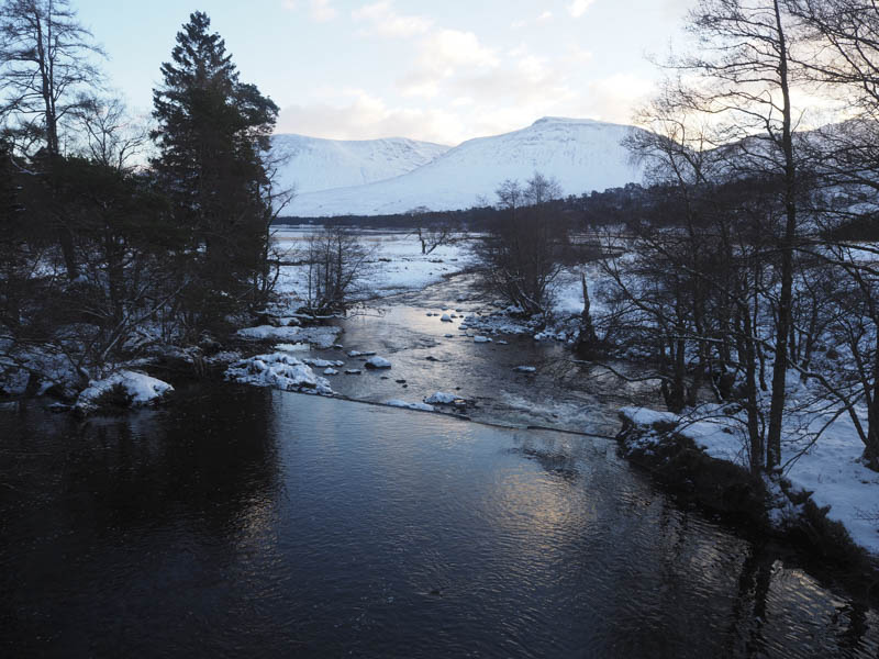
Initially the going was okay but we soon reached areas of swamp. It took a bit of searching to find suitable bypass routes as some areas of bog were concealed by the snow. This at times meant working our way through the trees. Unfortunately I managed to get wet feet when I went into the bog on a couple of occasions. Eventually we reached the open moorland which was crossed to reach the suspension bridge over the Abhainn Shira.
Once across it we walked briefly west along an estate track until opposite a stile over a deer fence. We didn’t see much point in crossing this fence as there was no obvious path on the other side and instead followed the edge of the fence, initially across boggy ground, then over Tom Liath onto the east ridge of Beinn Suidhe’s North Top.
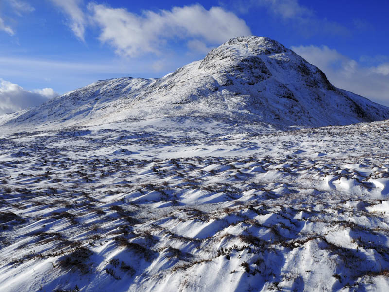
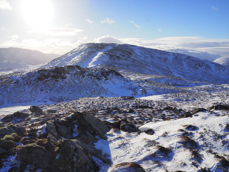
The snow was a bit deeper as we commenced the ascent of the North Top and there was even more depth to the snow as we wound our way up avoiding rocks and the odd icy patch. Prior to levelling out there was one section thigh deep as we by-passed an area of cliffs. Beyond, the walking became easier on wind scoured and icy vegetation to reach the unmarked high point of Beinn Suidhe North Top, a Sub Simm.
A short drop avoiding rocks was followed by the ascent of Beinn Suidhe around a kilometre from its North Top.
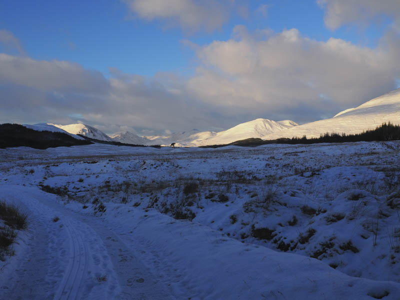
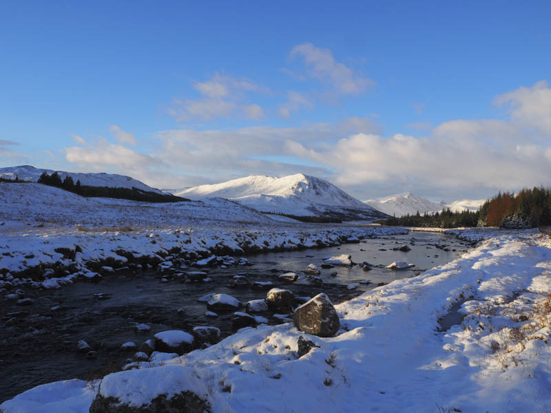
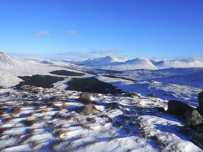
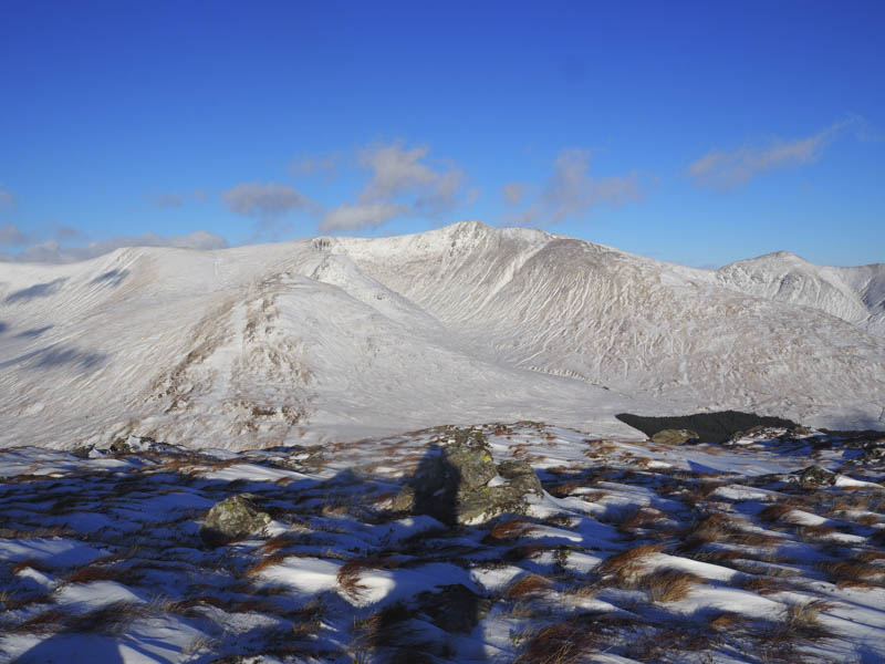
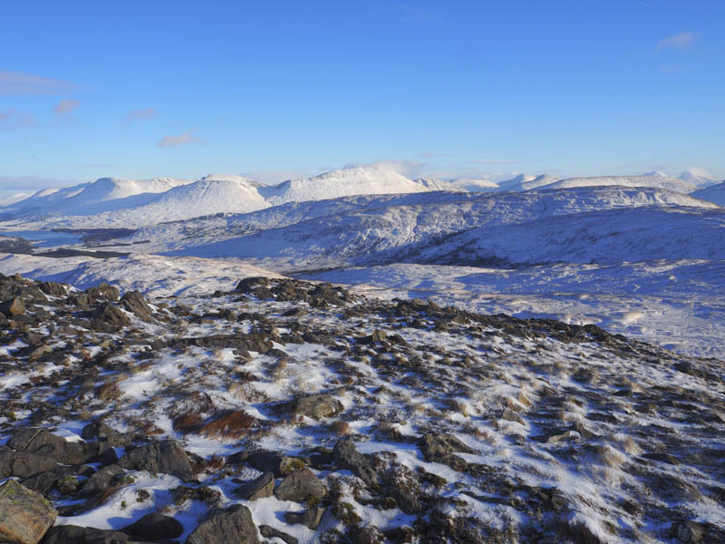
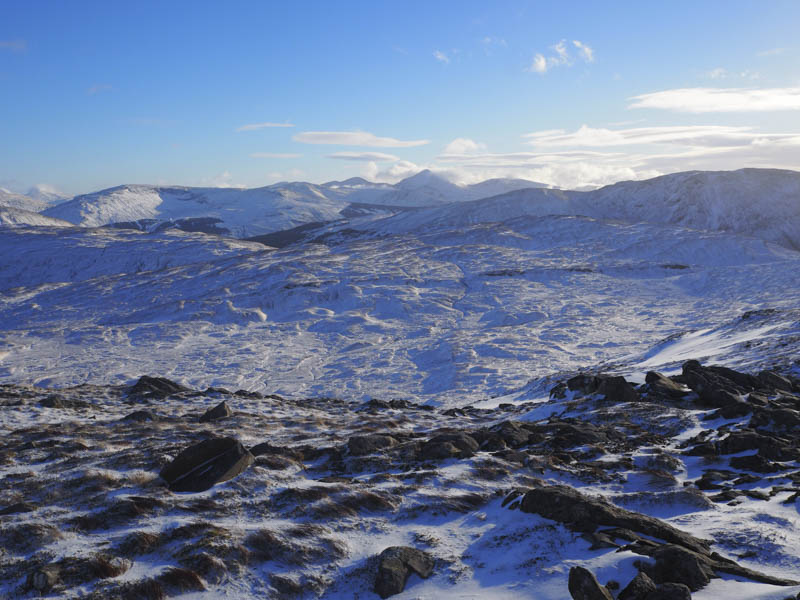
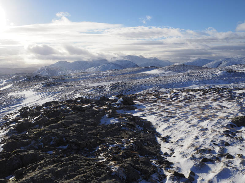
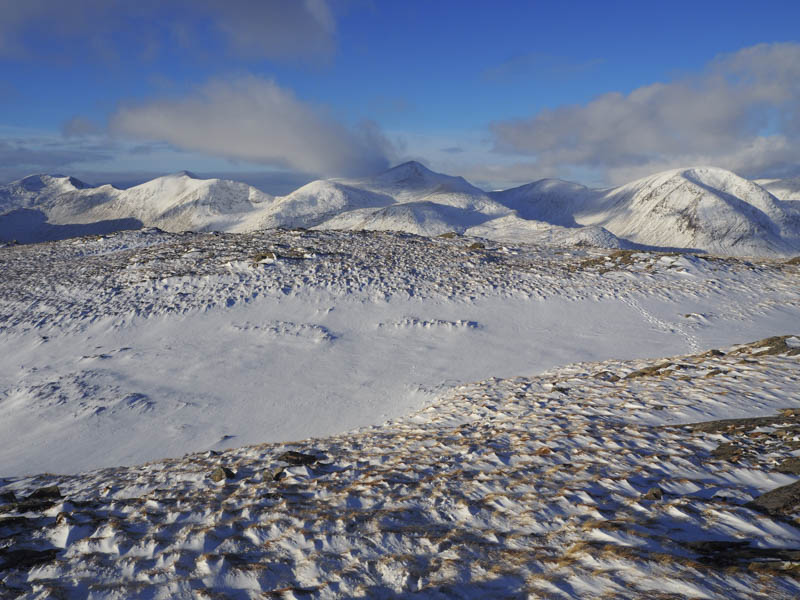
The summit of this Graham was marked by a cairn and here we had good views of the Ben Starav Hills and back to the start of this walk with Loch Tulla and the Bridge of Orchy Hills beyond.
It had taken a lot longer than planned to reach this summit so after a quick bite to eat sheltering from a cold wind we retraced our route to the suspension bridge and the forest to its north. By then there had been several folks along the snow covered Right of Way so this made for easier walking.
The trail entered the wood and initially followed the firebreak we used earlier that day before at a junction of firebreaks returned towards the Abhainn Shira just before the Allt Ghabhar. The water was low so the crossing of the Allt Ghabhar wasn’t a problem. Here there were a number of folks hanging around including some kids with sledges.
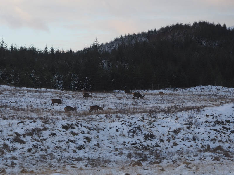
The now well broken trail was followed along the side of the river, although there were a few boggy sections. We rejoined the vehicle track used earlier that day and as dusk fell returned to the car park passing fairly closely to some stags.
- Time taken – 7.5 hours.
- Distance – 17 kilometres.
- Height climbed – 645 metres.