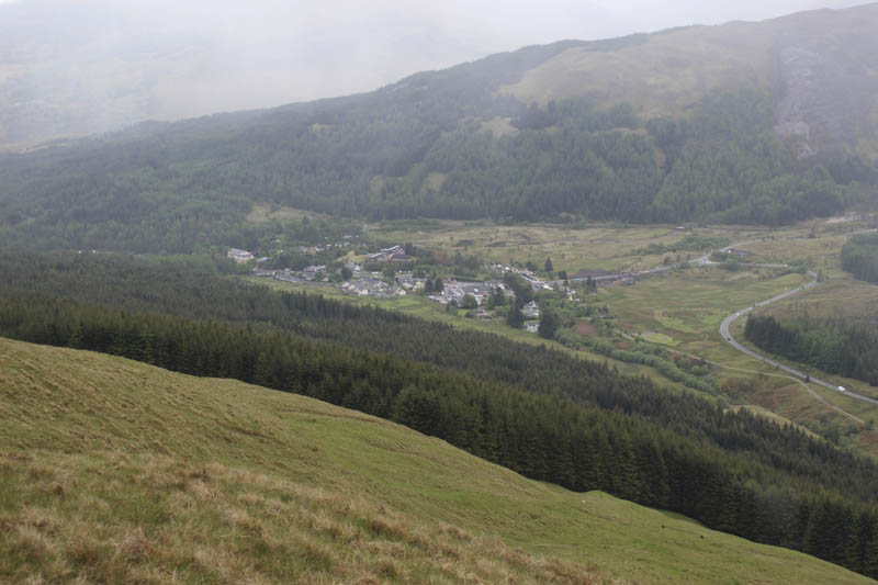
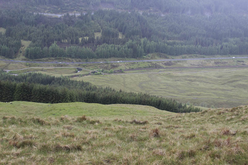
I parked in the first lay-by on the west side of the A82 north of Tydrum, crossed the A82 and a barbed wire fence then some boggy ground to reach the West Highland Way. I followed it north to the bridges over a stream and railway line where I discovered a more suitable access route from A82 which I used on my return.
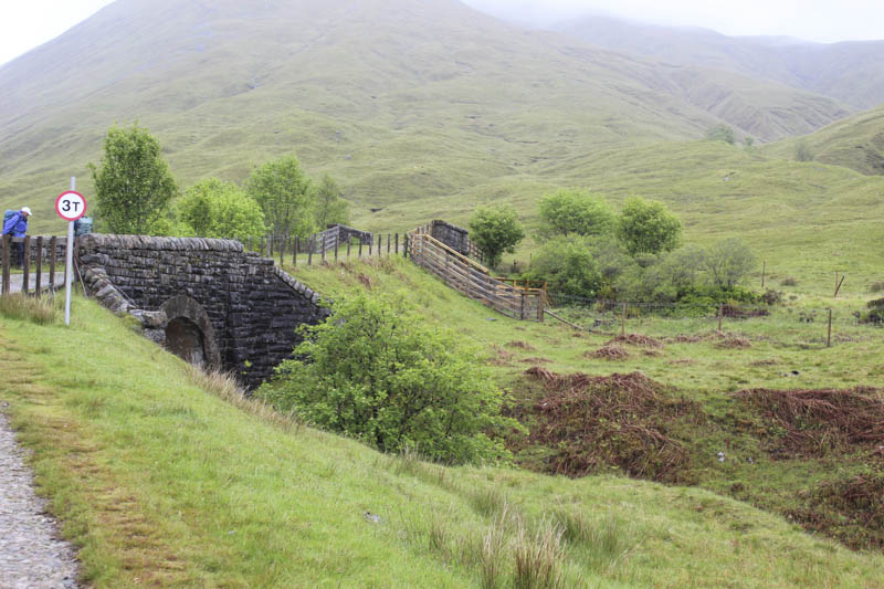
Here I left the West Highland Way and headed for the north side of the Crom Allt where I came across a grassy path not shown on my map.
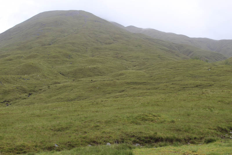
The path initially followed the side of the stream before leaving it and zigzagging up the south-west ridge of Beinn Odhar. Higher up there were a few boggy sections and at times I lost the line of the path. However it made the ascent a lot easier and led to a junction of fences. By now I was in the low cloud. Some boulders were crossed before I made my way to the cairn marking the summit of the Corbett, Beinn Odhar.
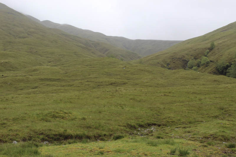
From there I navigated south-east to the head of Coire Thoin then south along the grassy ridge to the col with Meall Buidhe where the ground was a bit wet and boggy.
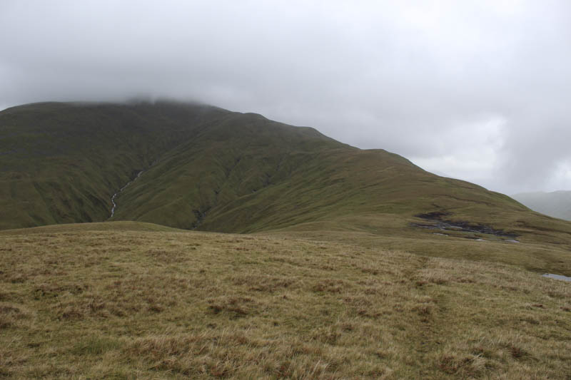
It was then an easy climb to the summit of this Graham Top which was marked by a cairn.
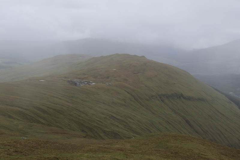
I descended fairly steeply on grass to the forest edge then down its north side crossing a few wee streams then lower down the Crom Allt before returning to the start.
- Time taken – 3.25 hours.
- Distance – 7.5 kilometres.
- Height climbed – 685 metres.