I parked on an area of rough ground on the west side of the A884 Strontian to Lochaline Road at its highest point which was also the start of an old vehicle track leading to communication towers.
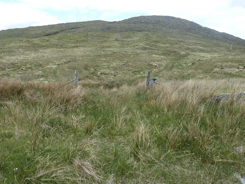
I then walked through a gap in the fence, the gate was missing, and followed the vehicle track to the towers.
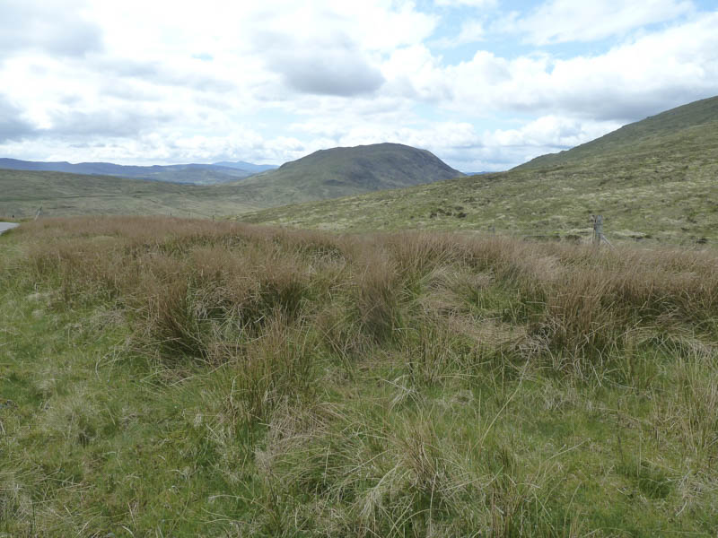
From there I crossed over grasses and heather.
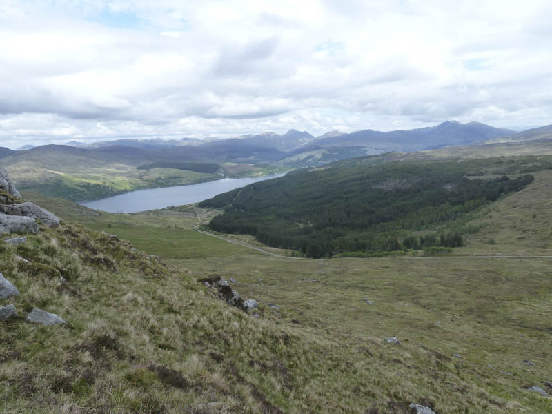
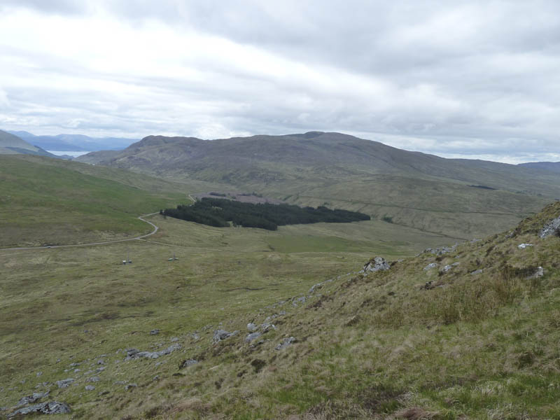
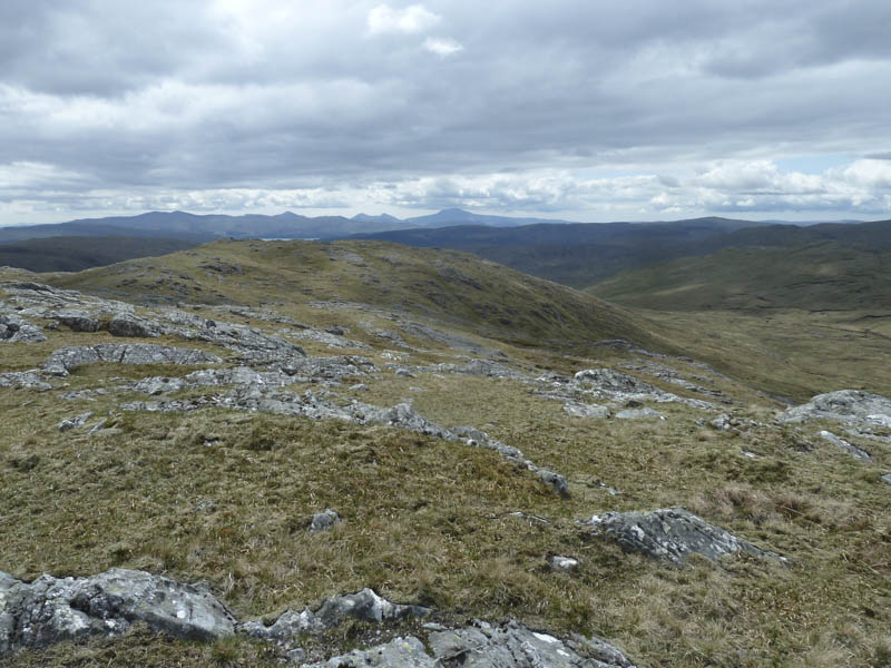
Later the gradient increased and the hillside became rather rocky. My route took me onto the north-east ridge of Beinn nam Beathrach, visiting a cairn where I had good views to the north.
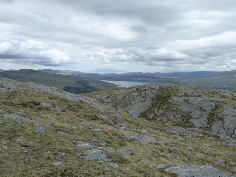
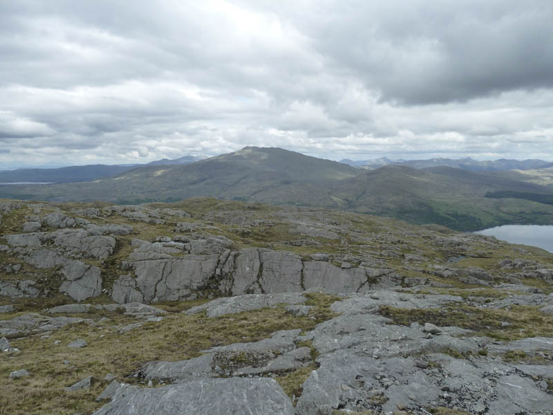
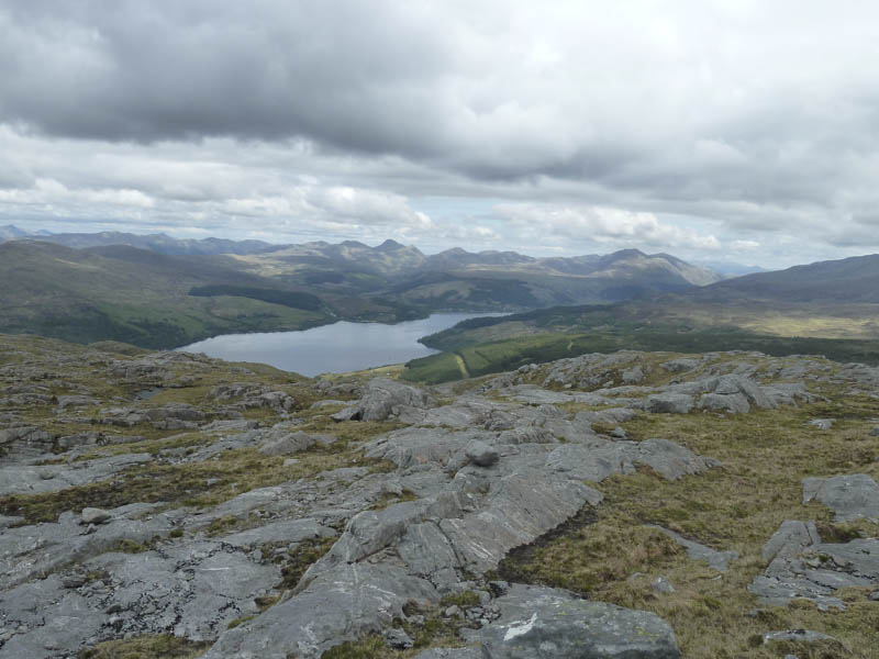
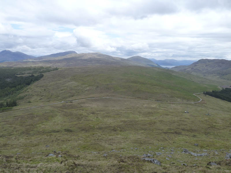
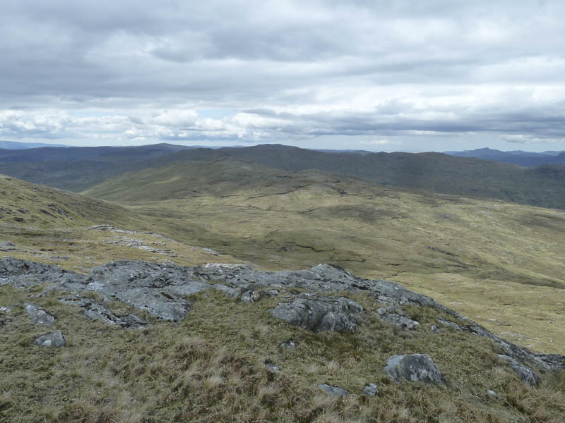
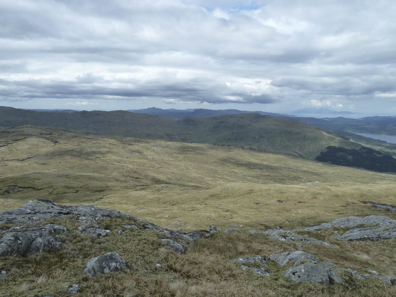
I then walked south-west along the undulating ridge, passed a few lochans, and despite the recent dry conditions some wet ground. This led to the summit trig point and a nearby rib of rock which was the actual highest point of this Marilyn.
After a break here I descended more directly to the communication towers, crossing a gully where I disturbed a deer, before retracing my route back to the car.
- Time taken – 2.25 hours.
- Distance – 4.75 kilometres.
- Height climbed – 365 metres.