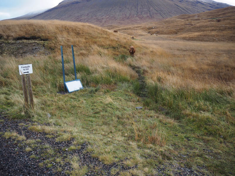
I left my vehicle in the large car park adjacent to the access road to Achallader Farm, reached from the A82 Tyndrum to Glen Coe Road, north of Bridge of Orchy. I set off through an open stock gate where a sign indicated that it could be locked at any time, obviously to stop walkers using the old parking area beside the farm. Immediately beyond this gate a sign indicated the route to the hills but the path was blocked by a cow with others beyond.
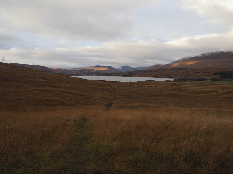
As I had a dog with me I opted to give this route a miss and continued along the farm track where there were more cattle including a bull. I therefore left this track, crossed rough vegetation, and worked my way round a couple of knolls to avoid more cattle. Eventually I gained the wet and muddy path that led to a track just north of the bridge over the railway line.
Once across this bridge the ground was wet and boggy so as others had done I kept to the right to avoid the worst of the conditions. Once clear of this area a path, rough and boggy in places, continued up the east side of the Allt Coire Achaladair where a new hydro dam had been constructed.
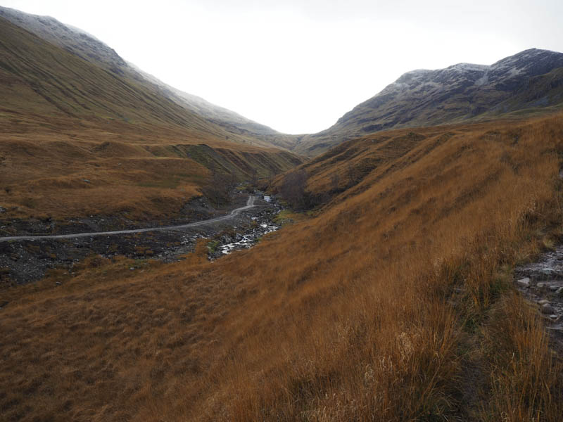
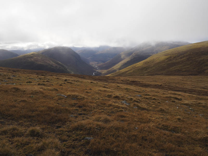
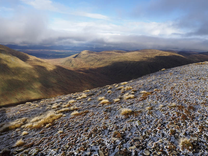
The path crossed a few side streams before I entered Coire Achaladair then a couple of tributaries as I continued into Coire Daingean.
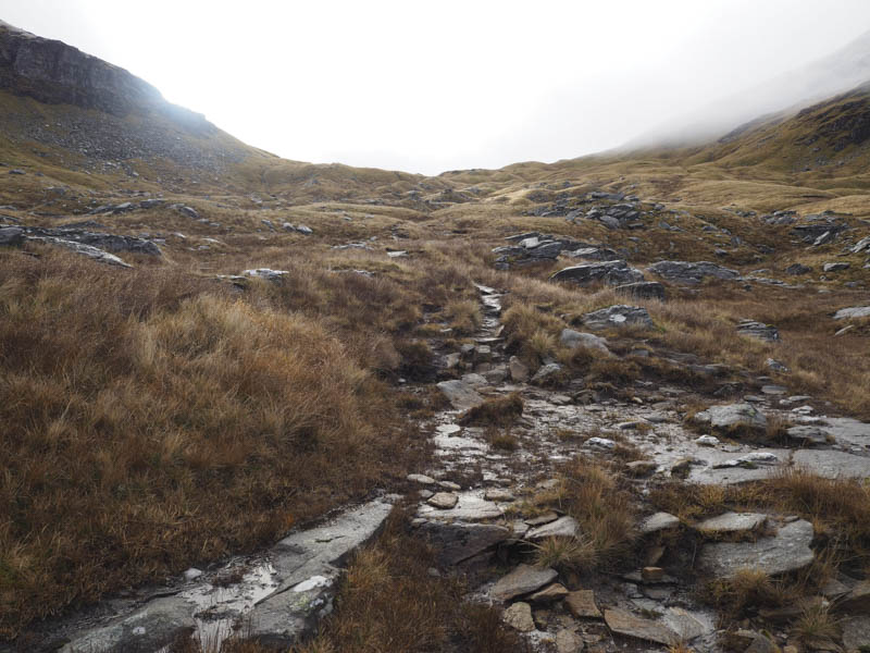
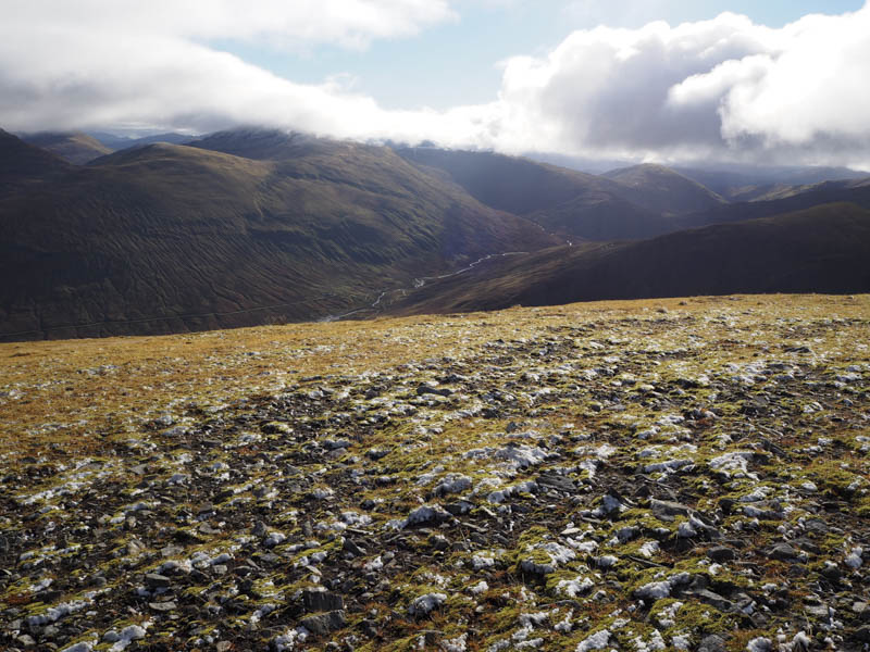
On reaching the bealach between Beinn Achaladair and Beinn an Dothaidh I followed the mainly grassy path which ran below Beinn Achaladair gradually losing a bit of height.
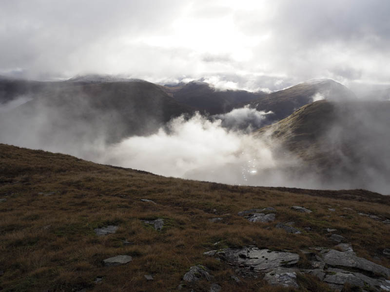
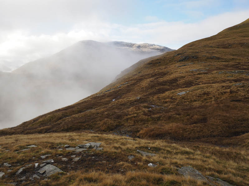
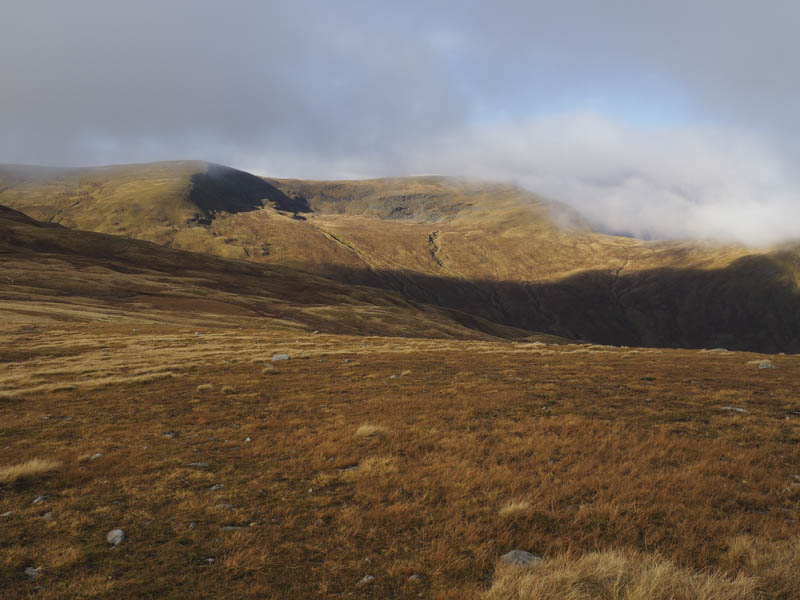
The path later began to disappear so I descended to the wet and peaty col at the head of Gleann Cailliche.
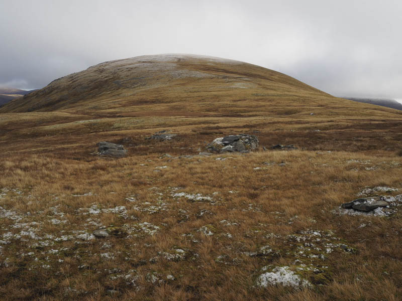
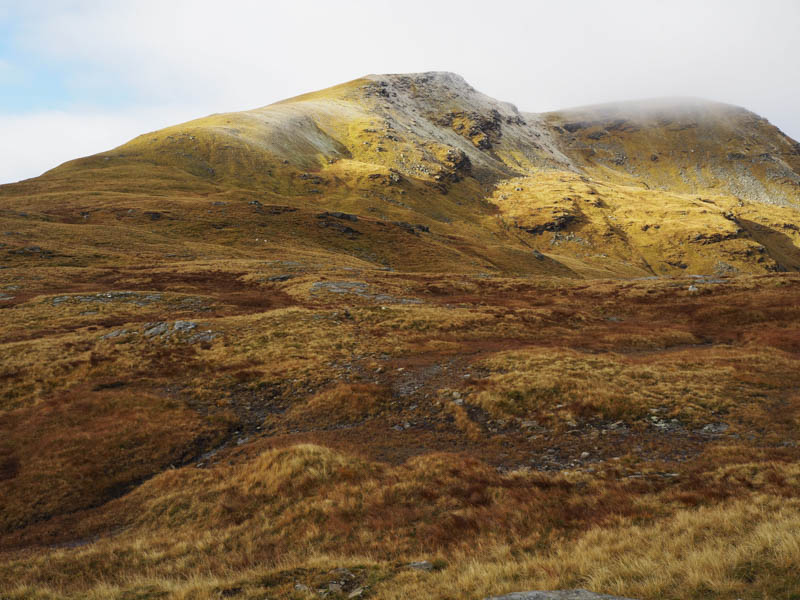
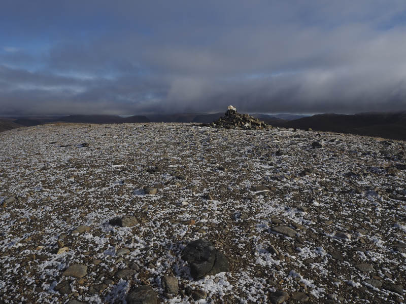
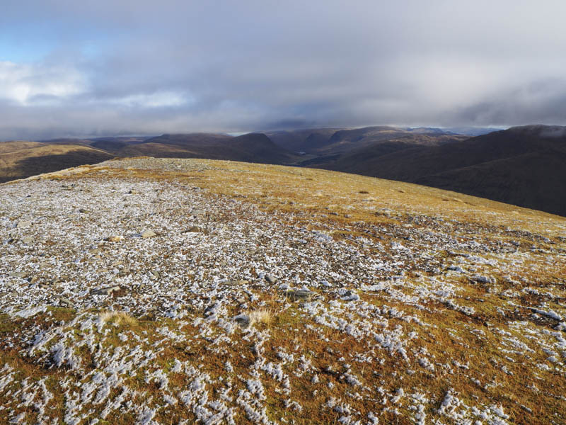
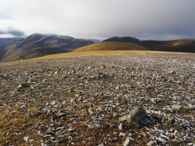
Old fence posts doglegged its way to the col between Beinn a’ Chuirn and Beinn Mhanach but I made a more direct climb to the col before ascending Beinn Mhanach where a cairn marked the summit of this Munro and where there was a very light covering of snow.
The return was by the approach route encountering
- Time taken – 8 hours.
- Distance – 18.5 kilometres.
- Height climbed – 1150 metres.