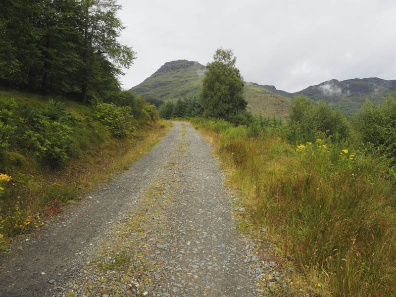
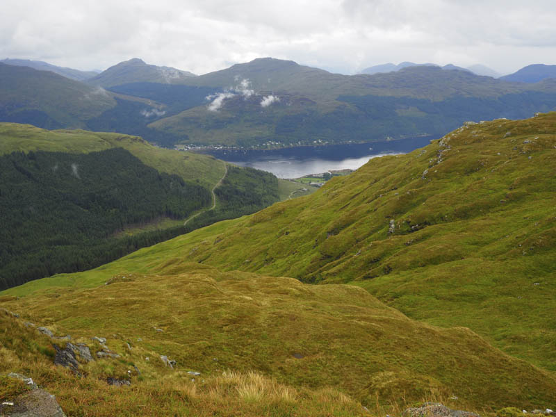
The start of this walk was Lettermay, south-west of the village of Lochgoilhead, on the west side of Loch Goil. We left the car just off the single track road at the start of the vehicle track leading to the houses at Lettermay then walked passed these houses and onto the forest track. This was part of the Cowal Way and was signposted. The trees to the north had been harvested so we had views back to Lettermay and Lochgoilhead.
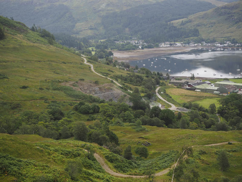
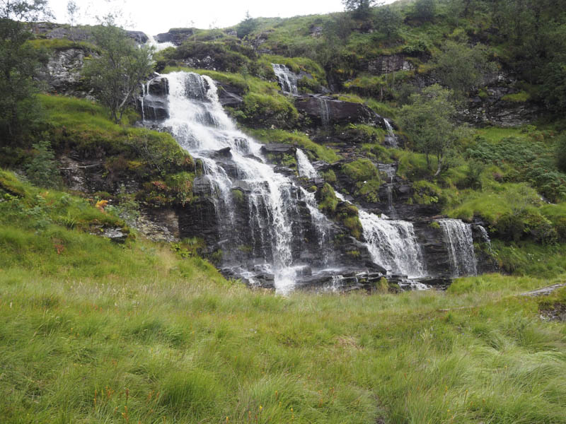
A bit of height was lost as the forest track descended to the bridge over the Lettermay Burn. Just beyond this bridge we left the vehicle track and entered the trees initially on a hardcore path. However this improvement to the path didn’t last as it soon became wet and boggy and deteriorated even further up the side of the Sruth Ban Waterfall where the walking was awkward as we tried to avoid the muddy pools and a few small crags.
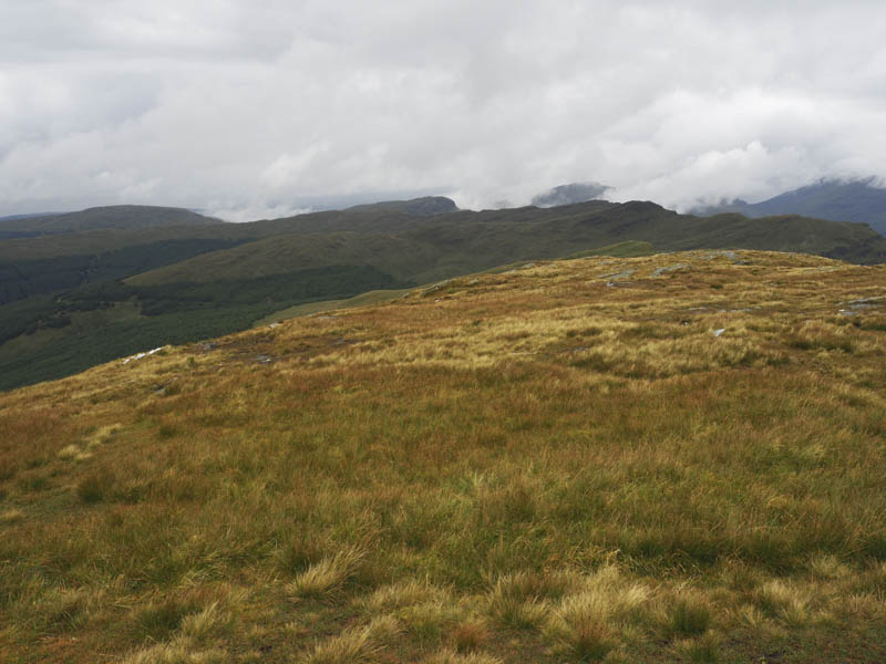
The gradient later levelled out as the path headed through some long vegetation.
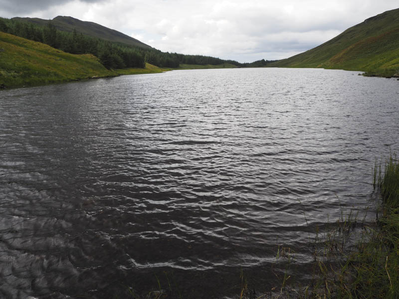
Planks of wood acted as a bridge over the Sruth Ban and led to Curra Lochain.
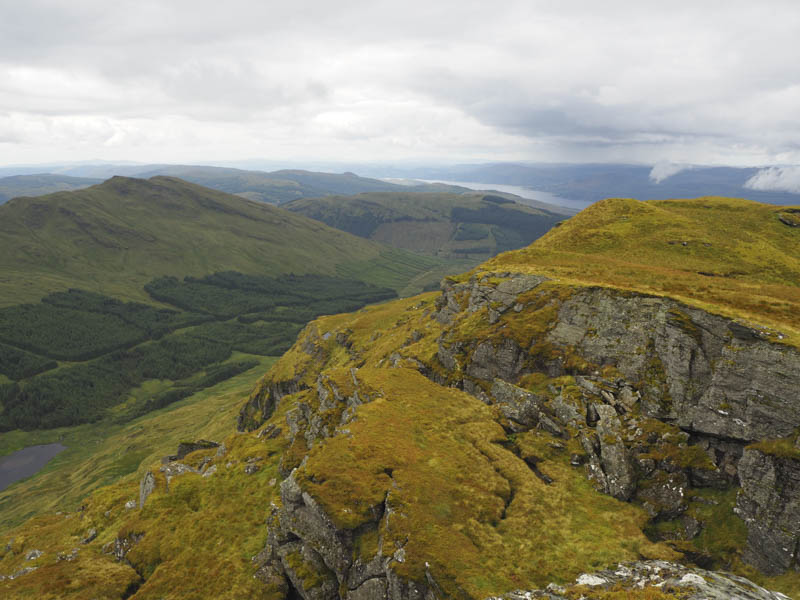
On passing through a new gate in the stock fence we left the path and the Cowal Way and climbed steadily north-east through wet vegetation. Higher up the terrain was a bit rocky as we made our way onto Beinn Lochain’s East Top, a Sub Simm. The earlier rain had ceased and the low cloud was breaking up.
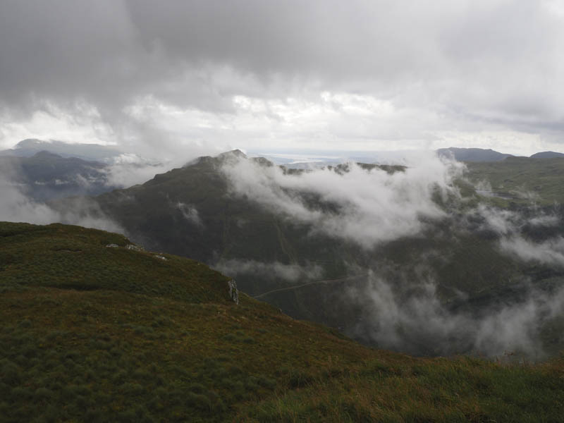
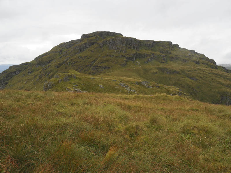
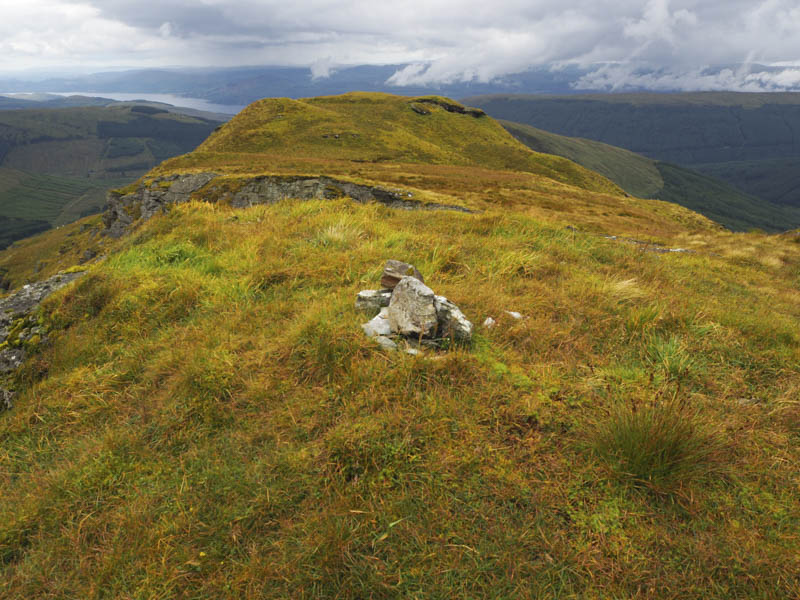
After a break here we made the short descent north-west then worked our way north-east below the crags before using grassy rakes to get above the rocks. It was then an easy walk to the cairn marking the summit of the Graham, Beinn Lochain.
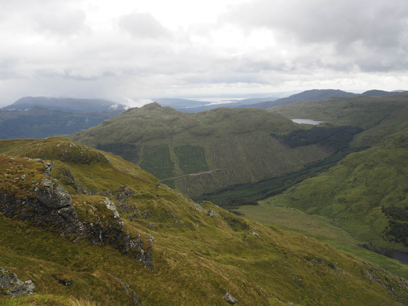
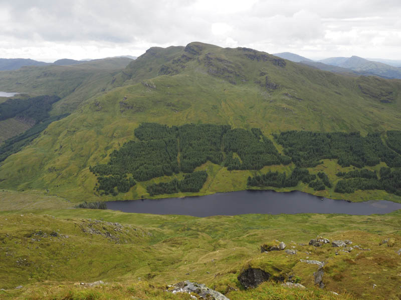
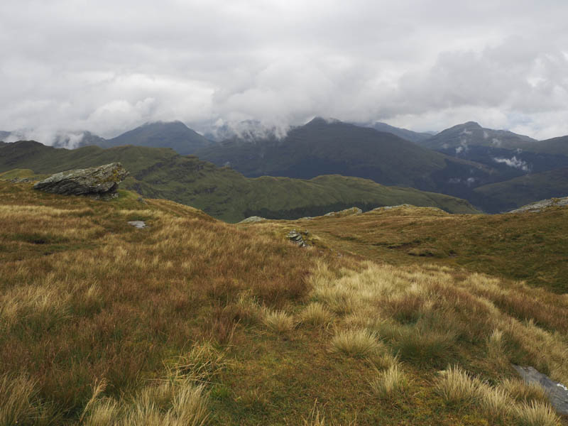
We later returned to the col with the East Top and from there descended south with lots of rocks, deep hollows and long vegetation to contend with. Once beyond these obstacles it was a relatively easy descent to Curra Lochain before returning to the start by the outward route.
- Time taken – 5.25 hours.
- Distance – 11.25 kilometres.
- Height climbed – 920 metres.