I left my vehicle in a small parking area adjacent to a passing place on the A838, Lairg to Laxford Bridge Road, west of Loch Merkland , (NC357334) during a heavy shower which had eased as I walked briefly west on the A838 to a stalker’s path.
This path initially crossed the Allt Ceann Locha via a wooden bridge then zigzagged south between a couple of plantations, the westerly one had been harvested.
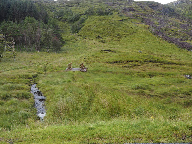
Lower down the path had a new lair of stones covering it but that wasn’t the case higher up where it was a bit wet.
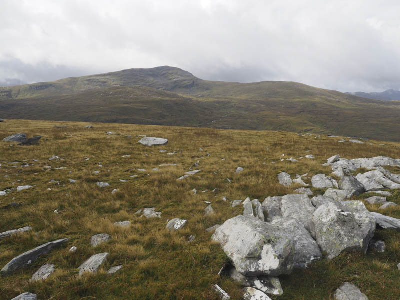
At the col between Meall na Leitreach and Meall an Fheaur Loch I left this path and climbed north-west to the summit of the Hump, Meall na Leitreach.
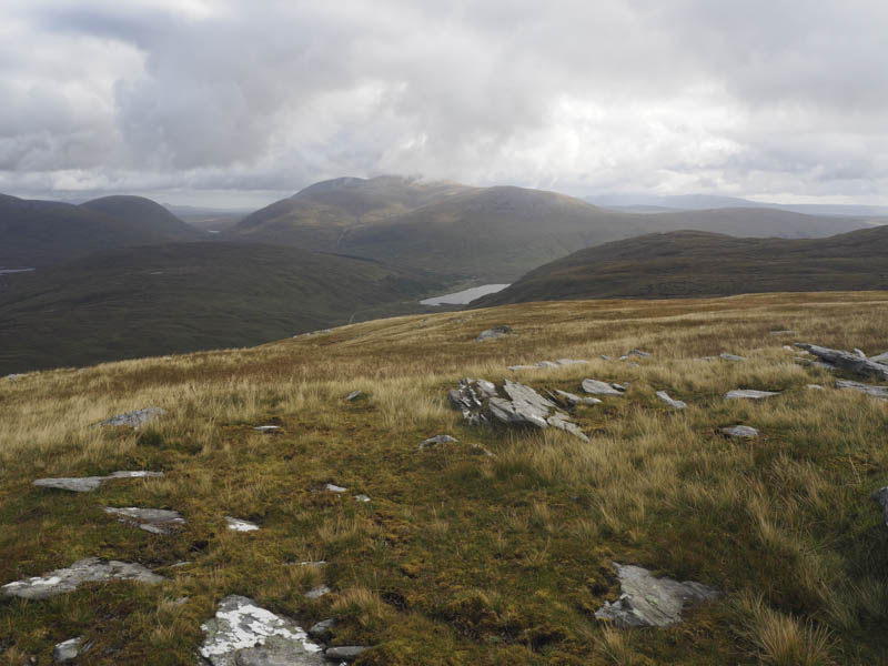
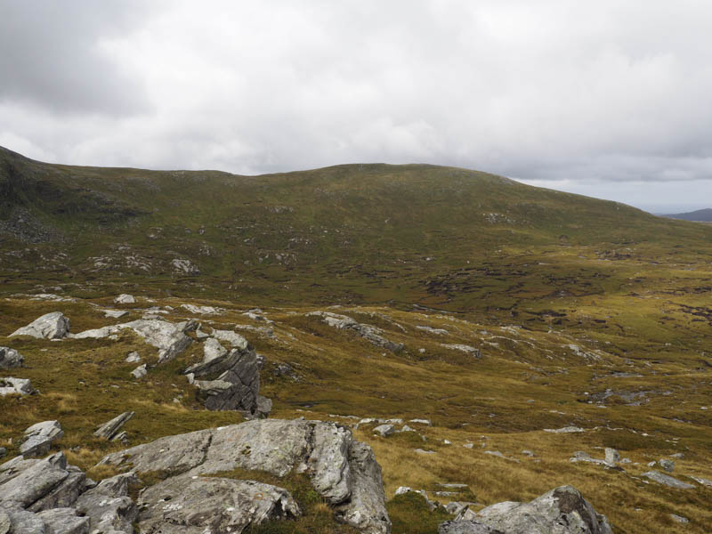
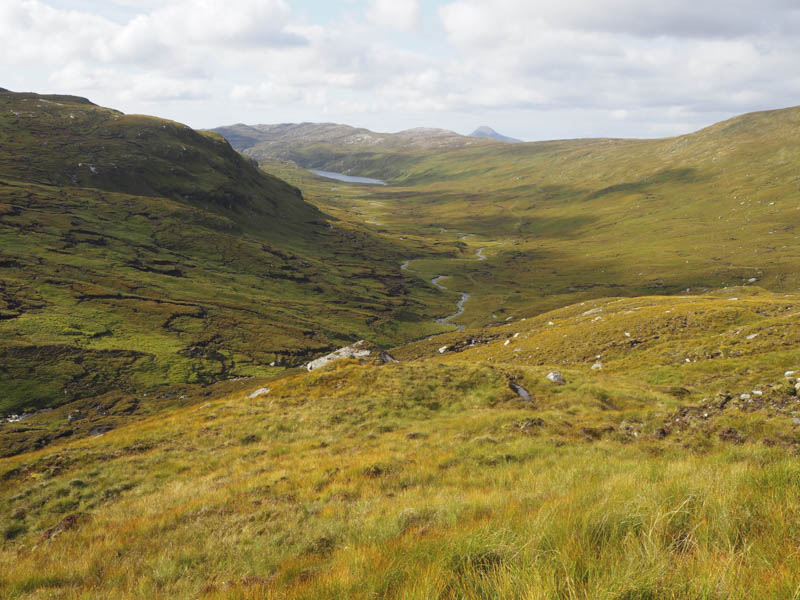
I thereafter returned towards the col before descending west to join the path running between Loch More and Loch Dubh. After a short walk south I crossed the Allt Srath nan Aisinnin and climbed to the summit of the Tump, Ruigh a’ Chnoic Mhoir, disturbing some stags.
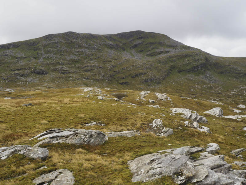
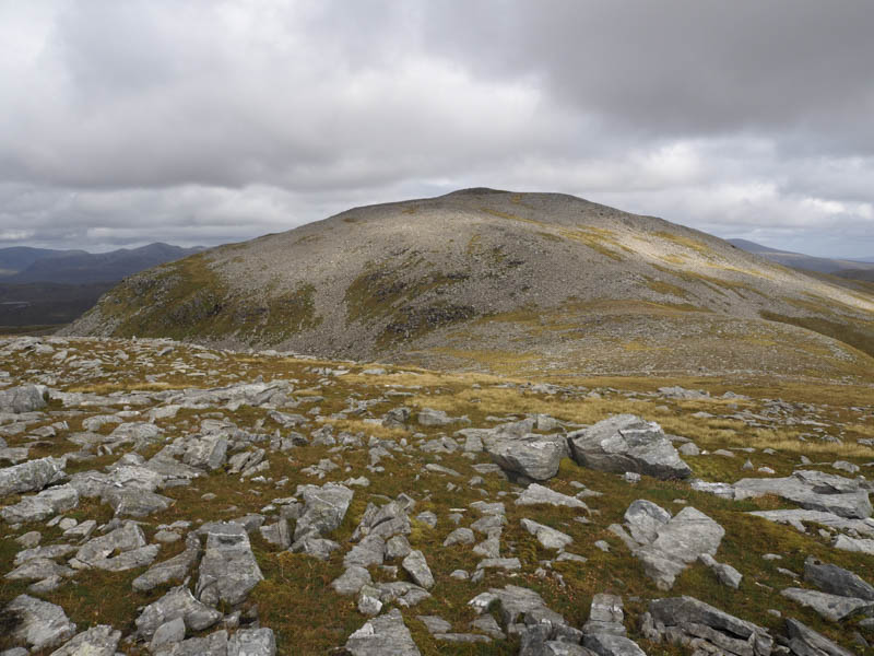
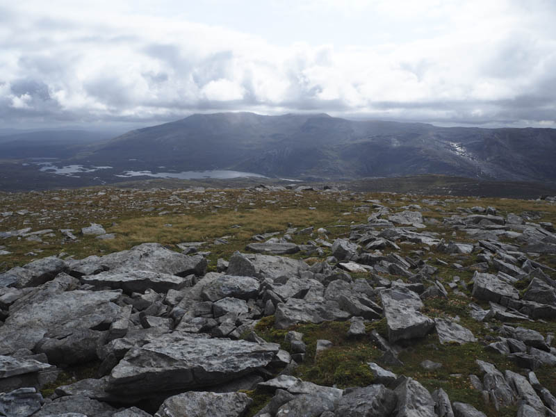
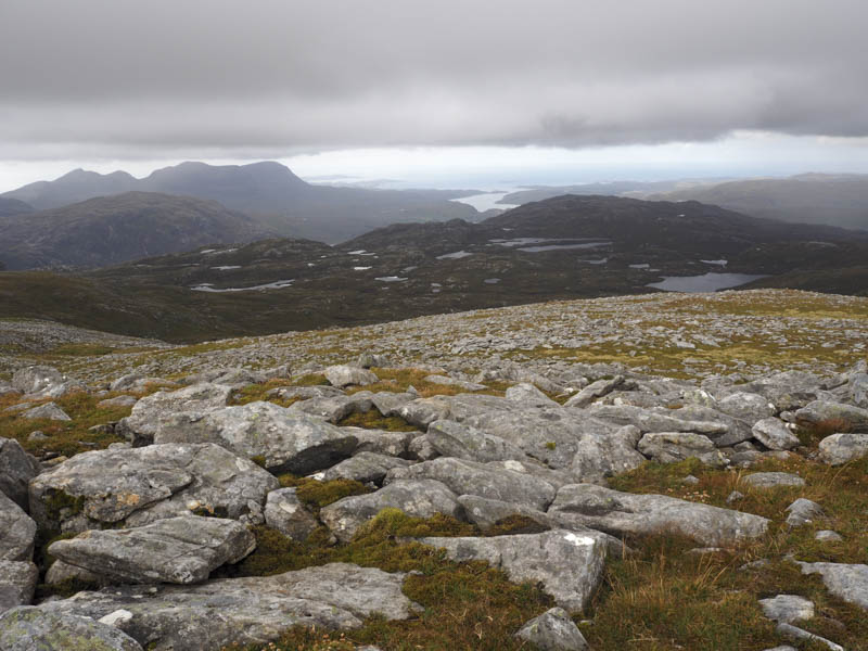
From this hill I descended south-west to below Glas Choire, avoiding some of the peat hags, and climbed to the col between Beinn Leoid and its North Top, Sail na Slataich, before ascending the latter.
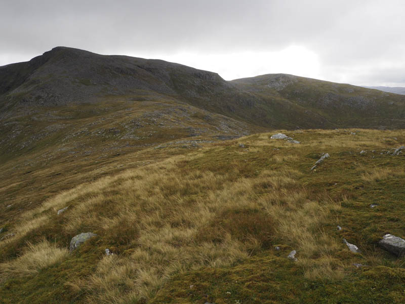
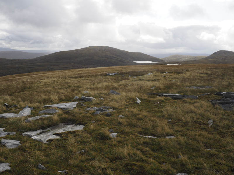
On returning to the col I headed below Beinn Leoid’s rocky North Face then to the west a grassy rake led to some boulders and onto the Bealach Beinn Leoid. It was then an easy walk to the summit of Beinn Leoid’s West Top, a Sub Simm.
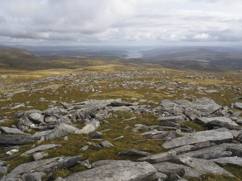
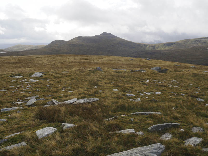
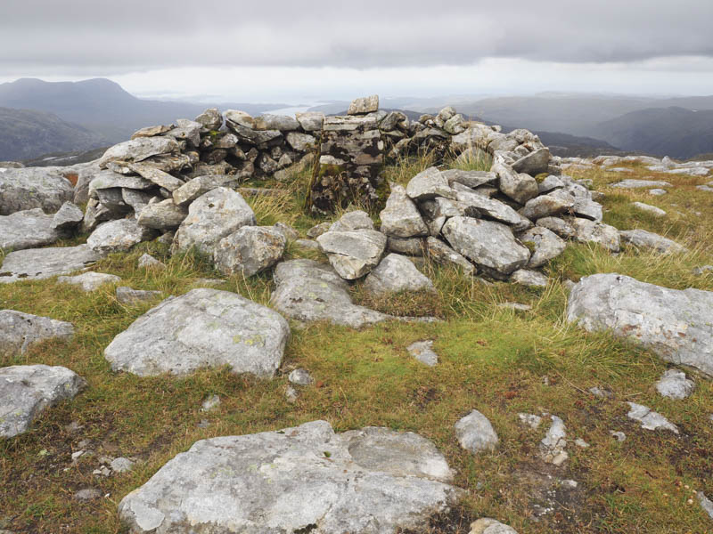
I returned to Bealach Beinn Leoid then crossed a mixture of boulders and grassy, mossy vegetation to reach the trig point located within a circular cairn marking the summit of Beinn Leoid.
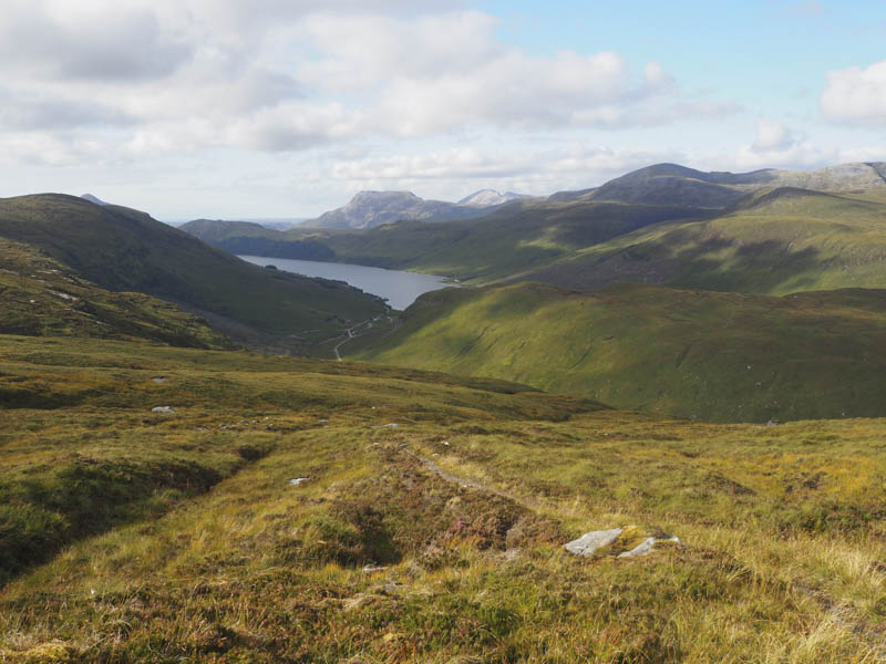
The descent east was across a few boulders on a walker’s path to reach the col at Drochaid Beinn Leoid where I met a chap who had just descended from Meallan a’ Chuail and was en-route to Beinn Leoid. He was the only person I saw all day. From the col I descended a fairly rough path, which was also overgrown in places, and took me passed Loch Dubh and along the east side of the Allt Srath nan Aisinnin.
Lower down I left this path and climbed over more rough ground to reach the stalker’s path at the stepping stones on the col between Meall na Leitreach and Meall an Fheaur Loch.
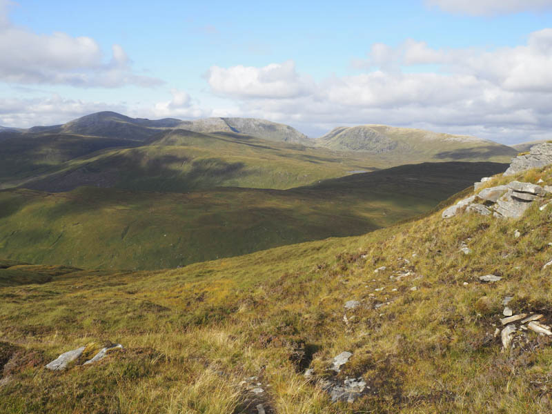
It was then an easy descent back to the starting point by the upward route.
- Time taken 8 hours.
- Distance – 19 kilometres.
- Height climbed – 1290 metres.