The start of this walk was the access road to Dunmaglass Estate, south of Strathnairn. I parked beside the telephone kiosk at the junction of the B851 Farr to Errogie Road with the minor road leading to Abersky, then walked briefly west along the B851 to the access road. I passed through the gates beside the lodge and came across a vehicle track coming in from the east which was new since my previous visit to the area in 2012. From the signage it was used by vehicles heading for the Dunmaglass Windfarm.
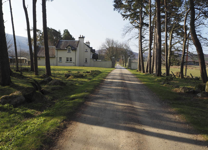
I followed this vehicle track south passed the estate houses at Achnaloddan then along the west bank of the Allt Glac an Tuir to the road bridge used by those heading to the windfarm. Here I left the vehicle track and continued down the west bank to a deer fence where there was a stile. Further on a signposted route over a footbridge then across some wet ground, grass and rushes led south to a vehicle track.
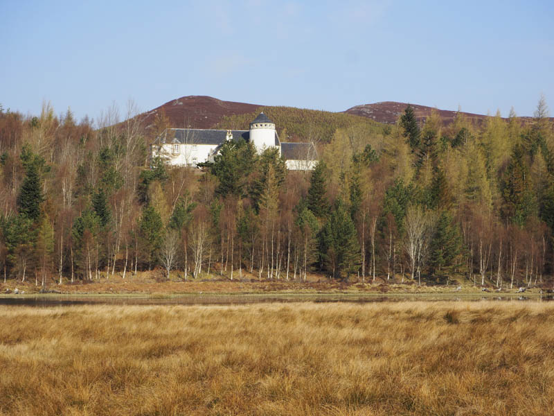
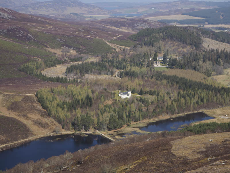
This track was followed south-west to and through Conagleann passing along a deer fence enclosing Loch Conagleann.
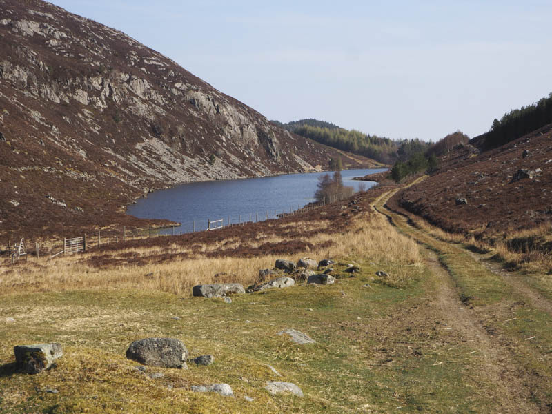
Near the highpoint in this glen I left the vehicle track and walked through heather to the north ridge of Carn Liathdoire. On reaching this ridge the ground steepened and it was initially hard work through the long heather, crossing a stock fence. The gradient later eased and I followed animal tracks on the west side of this fence before re-crossing it to bypass the summit of Carn Liathdoire and reach the summit of the slightly higher Beinn Dubhcharaidh South-West Top.
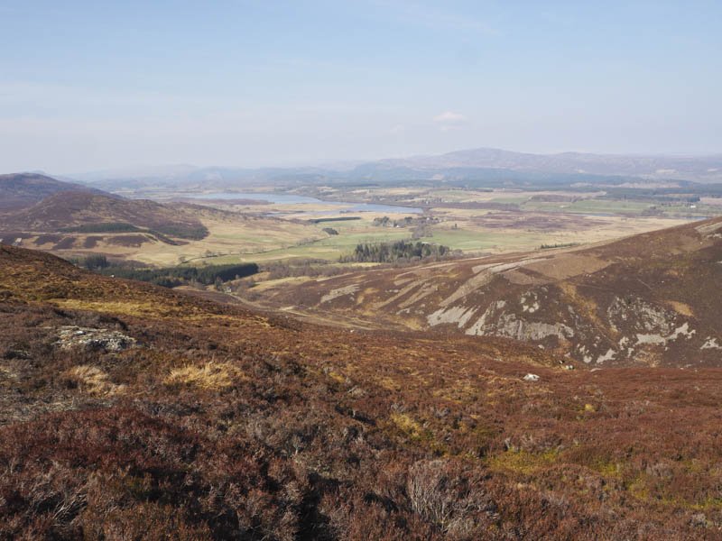
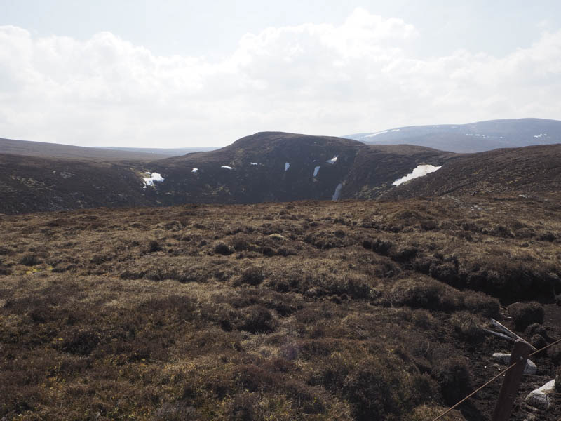
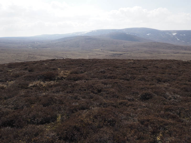
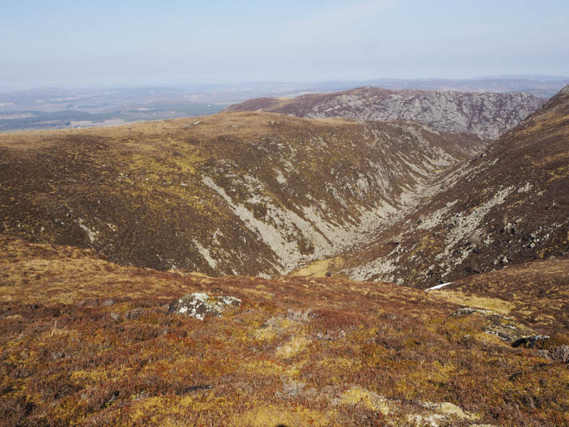
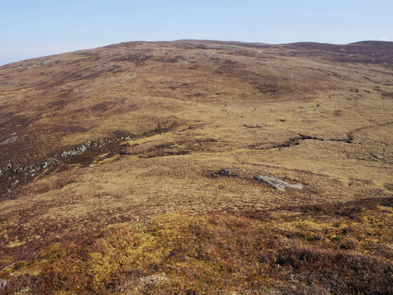
On leaving the summit of this Sub Dodd I made a short descent north-east before commencing the approach to Beinn Dubhcharaidh. It was a steady climb on shorter vegetation to reach the summit of this Hump and Graham Top, an outcrop five metres north of the cairn. Nearby there was a small communications tower with solar panel.
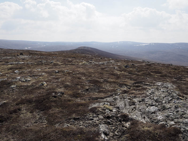
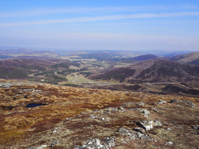
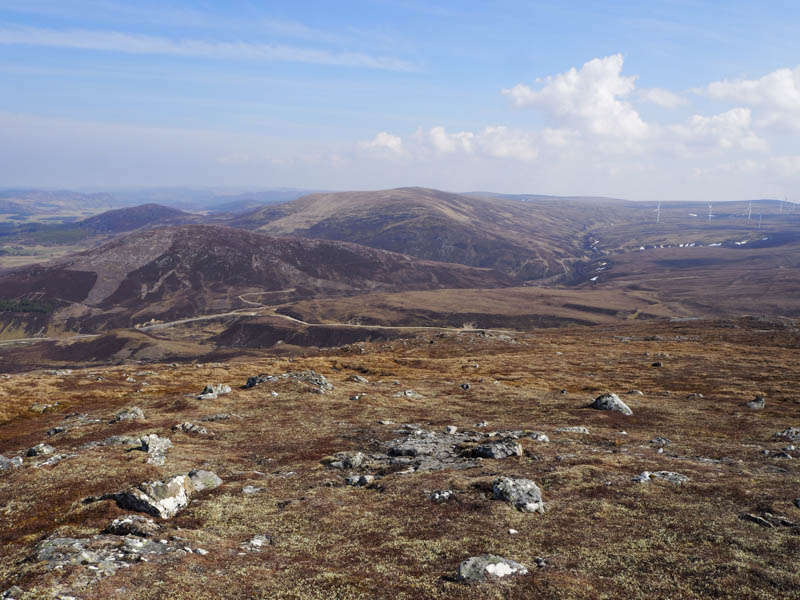
It was a reasonable descent north then lower down north-west through some well spaced trees to rejoin the vehicle track near the north-east end of Loch Conagleann. I then re-traced my route back to the start.
- Time taken – 5 hours.
- Distance – 14.25 kilometres.
- Height climbed – 535 metres.