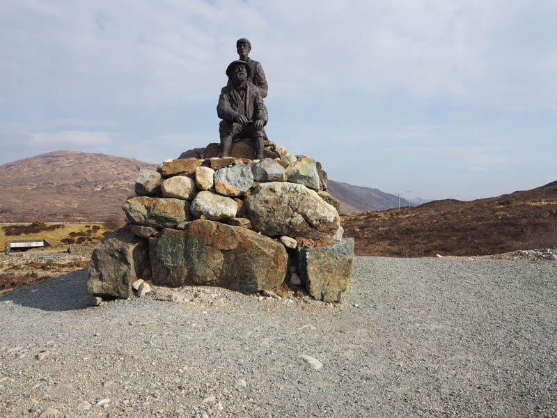
The start of this hike was the car park on the south side of the A87 Broadford to Portree Road just east of the junction with the A863 Dunvegan Road and the Sligachan Hotel. We walked across the bridge over the Allt Daraich then visited the monument to the renowned mountaineers Norman Collie and John Mackenzie. It was the first time I had seen it since its installation in 2020 and thought it very impressive.
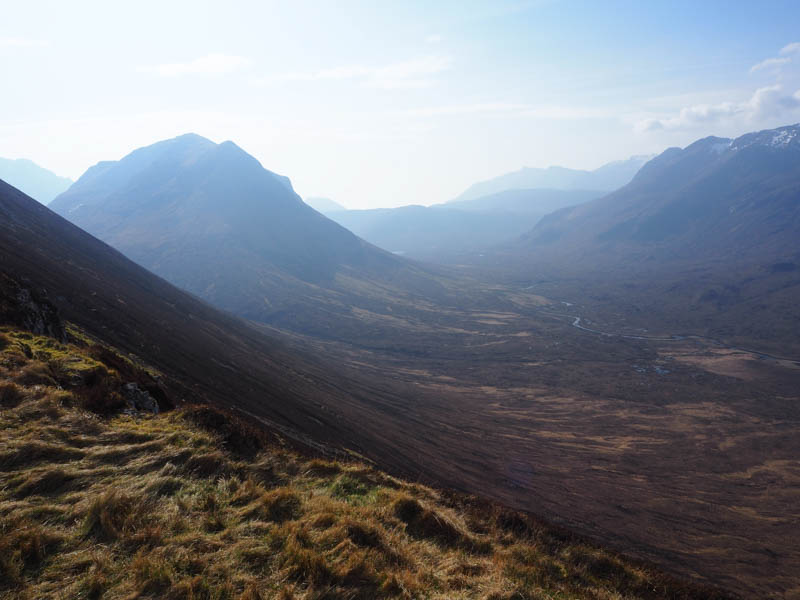
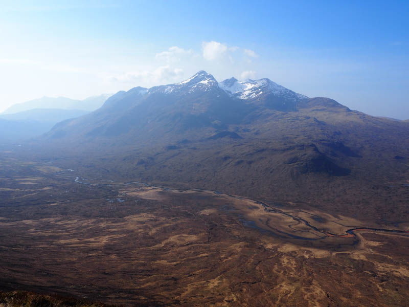
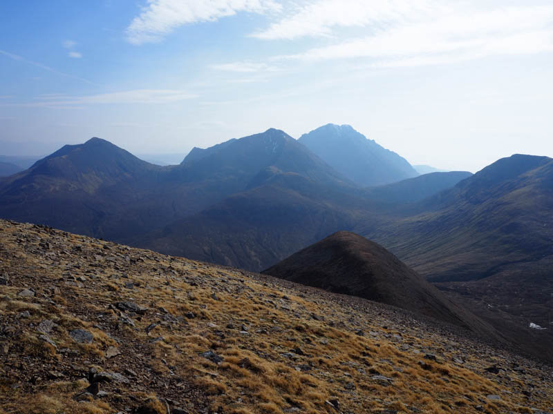
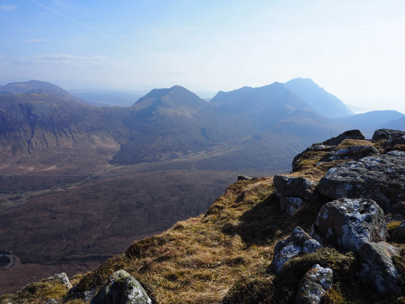
The path south to Glen Sligachan was briefly followed before we branched off to the left and walked along the path on the south side of the Allt Daraich passing through a couple of gates. The path later left the side of the stream and became wet and boggy as it headed for the foot of Sron a’ Bhealain. The condition of the path improved on the ascent of Sron a’ Bhealain where it was a steady climb to reach the start of the Druim na Ruaige ridge where we took a break looking across Glen Sligachan to the snow topped Black Cuillin.
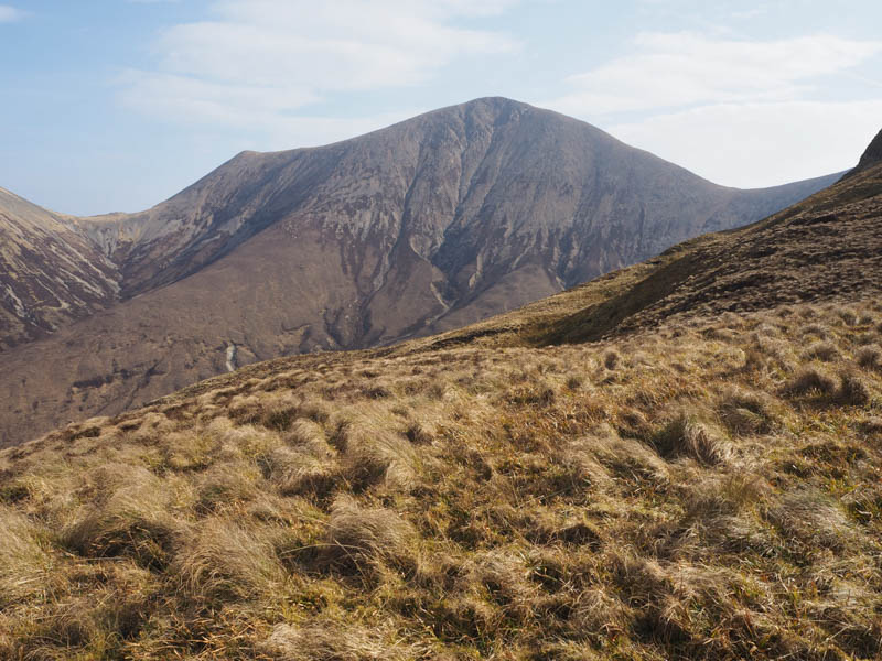
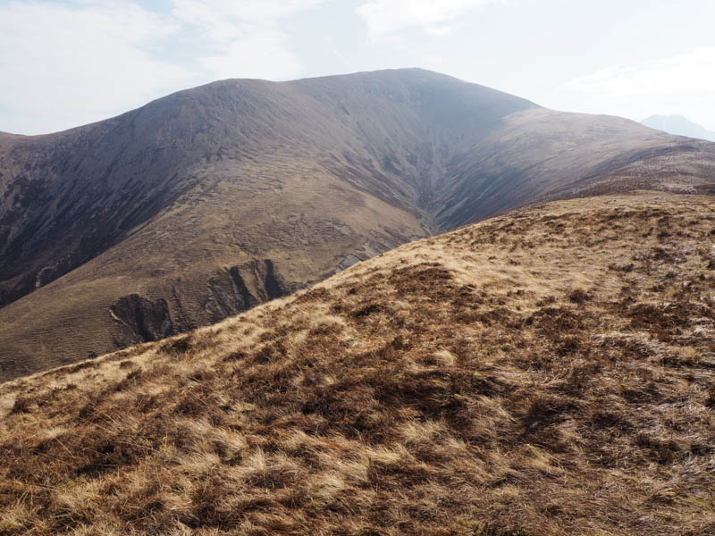
Afterwards we headed south-east along the ridge with a slight loss of height before the ridge turned east and we commenced the ascent of Beinn Dearg Mheadhonach, latterly through scree, and to the summit of this Graham Top. The actual highpoint was a cairn around 200 metres to the south-east which I visited.
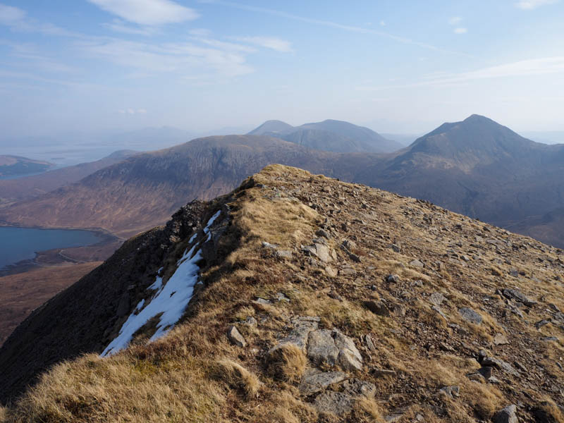
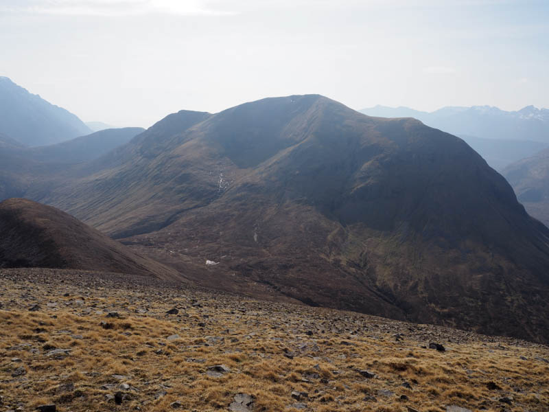
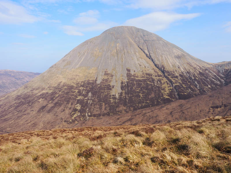
The descent off Beinn Dearg Mheadhonach was down its north ridge where there was a path through the rocky ground to reach the Bealach Mosgaraidh. From there it was a fairly steady climb through mainly rock and scree with several paths to choose from. Eventually we reached the cairn marking the summit of the Graham, Beinn Dearg Mhor.
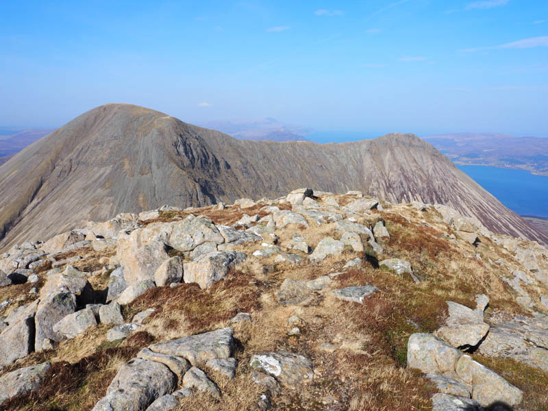
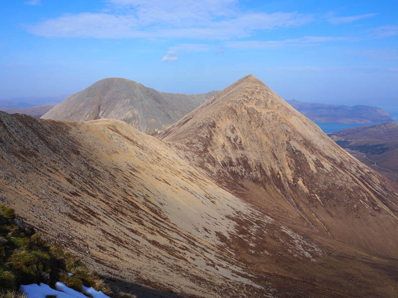
After an extended break sheltering from the wind it was an easy walk along the north ridge before turning north-west and descending fairly steeply on the numerous scree paths making for slow progress.
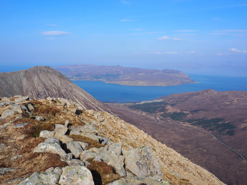
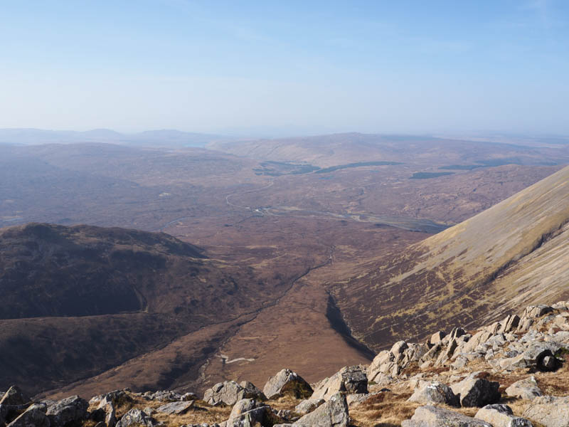
On reaching the Bealach na Sgairde we descended via the south side of the Allt Bealach na Sgairde through rocks and vegetation then the path, there was a choice of two, led onto the north-west ridge of Beinn Dearg Mhor.
The paths merged and continued down this ridge to the Allt Daraich and some old metal fence posts. The stream ran through a small gully here with the path above it wet and boggy so beyond the gully we crossed the stream and walked west through rough vegetation, including more wet and boggy ground, to rejoin the path below Sron a’ Bhealain used earlier that day. The approach route was then followed back to the start.
- Time taken – 6 hours.
- Distance – 11.5 kilometres.
- Height climbed – 910 metres.