I arrived in the parking area at the Bridge of Tilt reached along the minor road from B8079 at the village of Blair Atholl. Once organised I set off on my bike along the tarred road to Old Blair then up the estate track on the west side of the Banavie Burn.
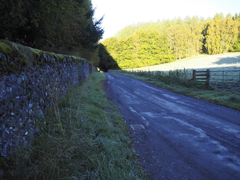
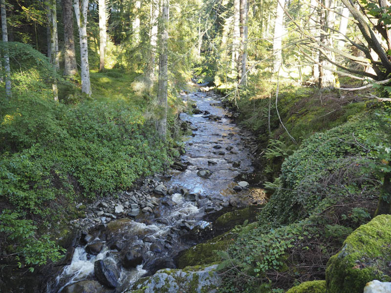
At a junction of tracks I crossed the bridge over this burn and continued up its east side and onto the open hillside.
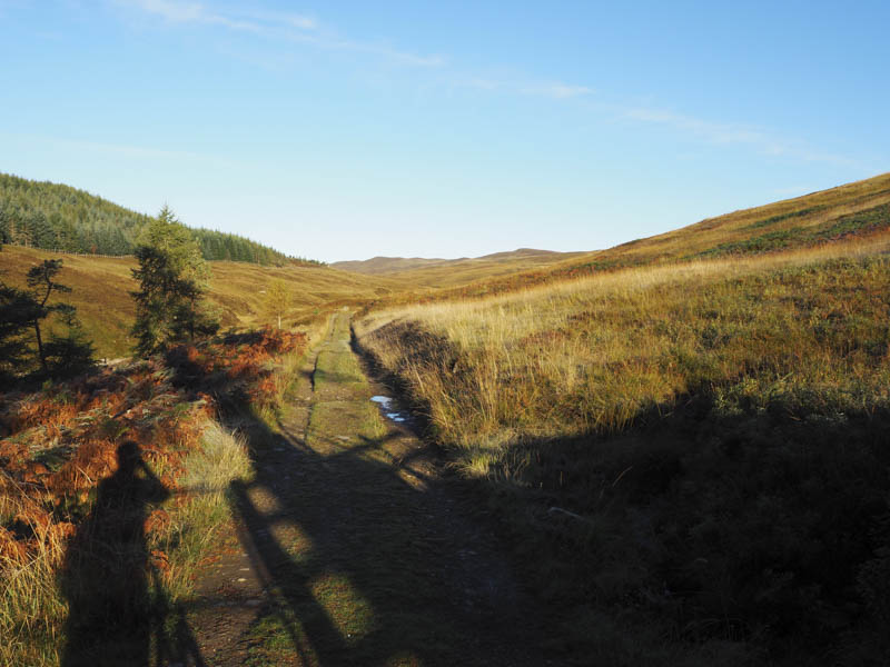
The cycling involved a steady climb but I only pushed the bike a couple of times, once being at the crossing of the Allt na Moine Baine.
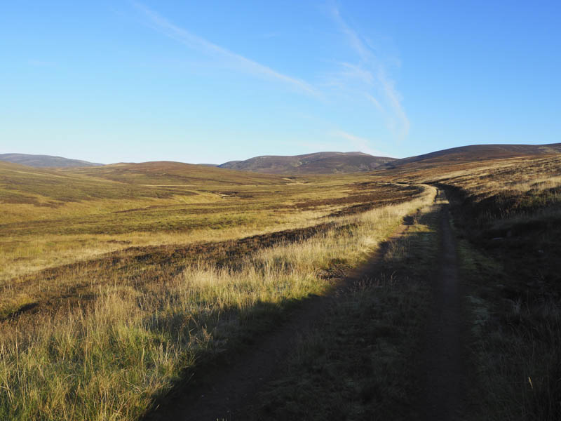
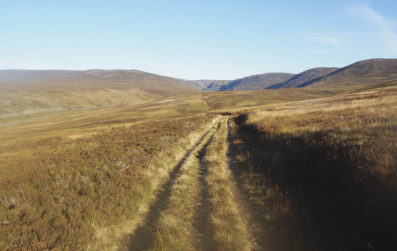
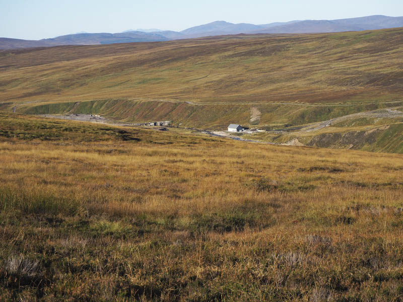
At the top of the brae leading to the Allt Scheicheachan Bothy I left my bike amongst the heather rather than pushing it uphill on the return. I walked down to the bothy where I had a snack sitting outside in the sun on one of the bothy chairs.
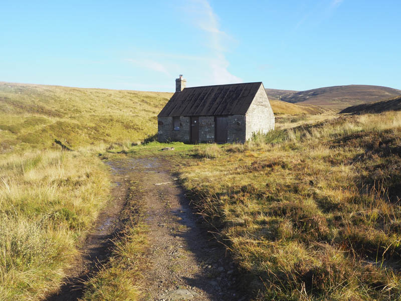
I later continued along the estate track which almost immediately crossed the Allt Sheicheachan and ran up its north side.
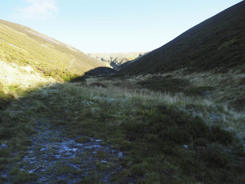
At a point where the track re-crossed the burn and headed south, a path, worn and eroded in sections, zigzagged up Beinn Dearg to a small cairn where the path turned left.
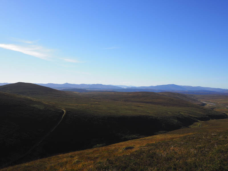
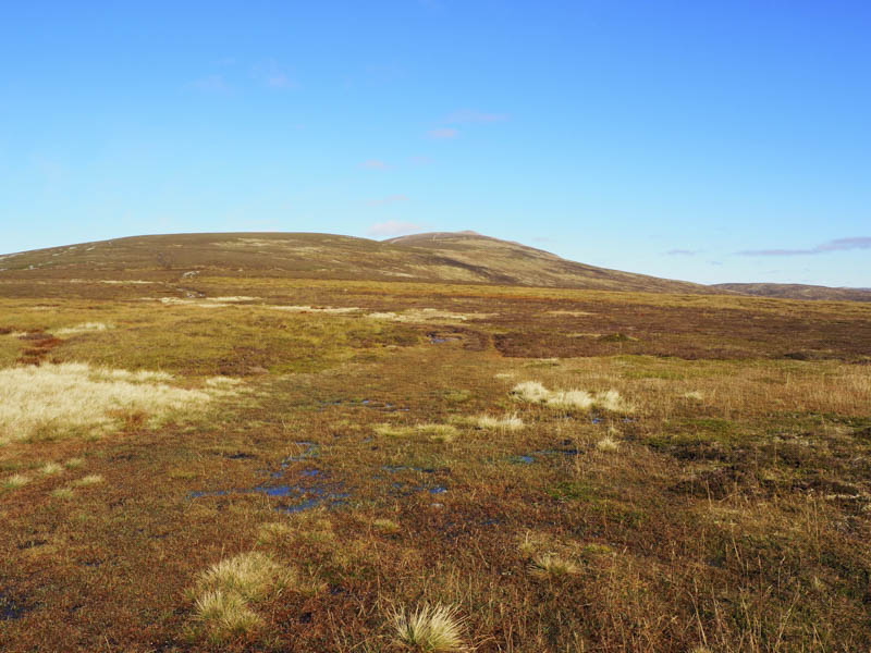
Despite a dry period of weather the next section of the path in places was wet and boggy until the path steepened to reach a small knoll. Beyond a wee dip, rocky ground was crossed to reach the summit trig point then the highest point of this Munro, a pointed boulder. Here I met a couple of females who had ascended from the bothy having slept there overnight.
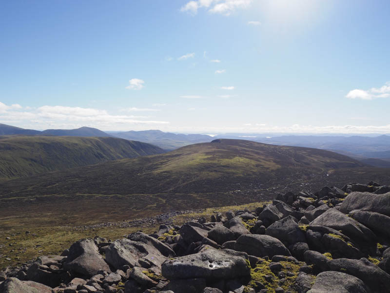
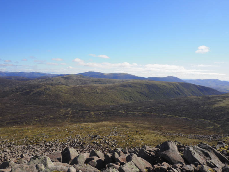
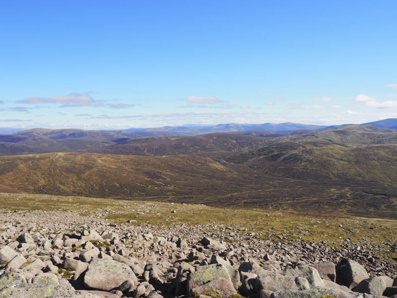
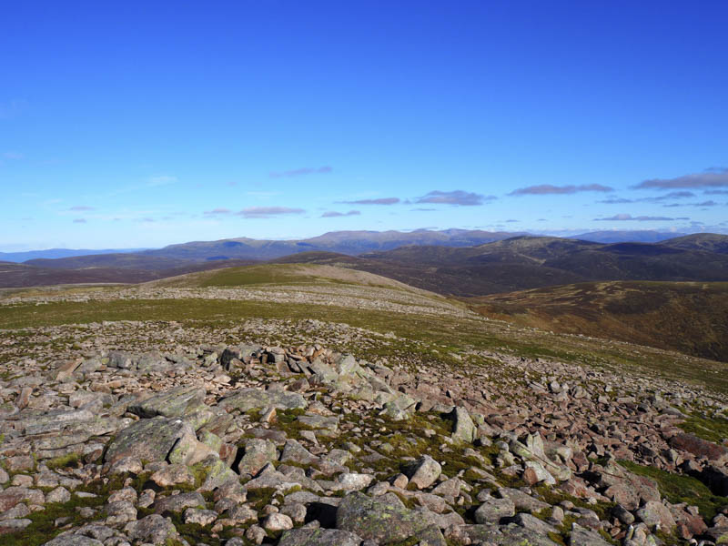
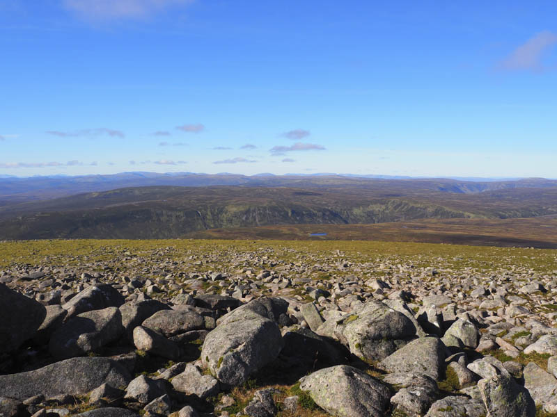
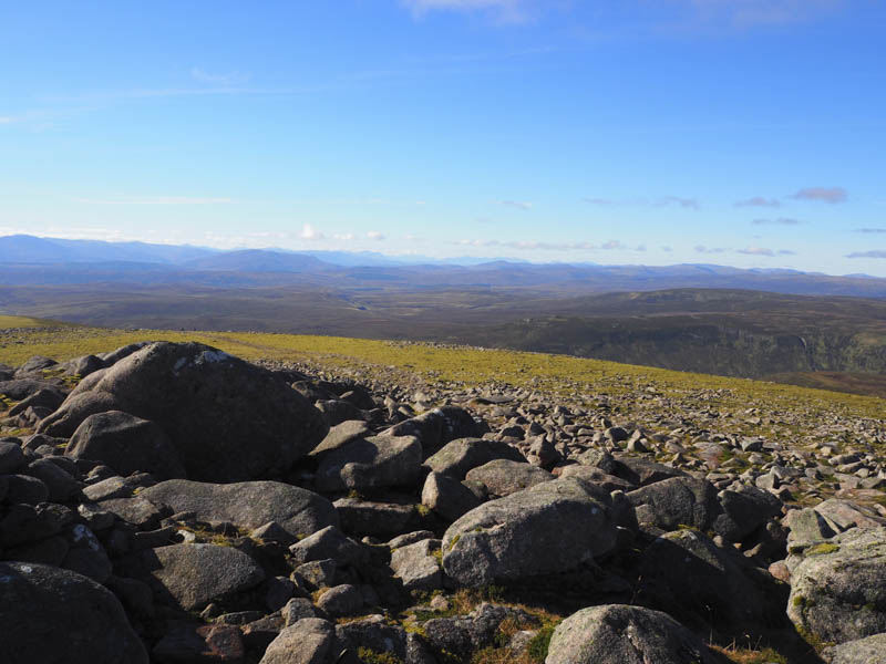
My return was by the ascent route stopping again to sit outside the bothy this time for lunch. On approaching the finish I opted to remain on the east side of the Banavie Burn thus avoiding the short climb out of Old Blair.
- Time taken – 6.75 hours.
- Distance – 32 kilometres.
- Height climbed – 1080 metres.