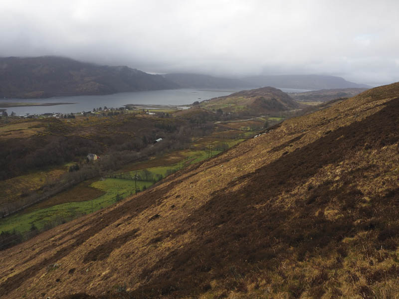
I left the A87 Kyle of Lochalsh to Dornie Road, immediately east of Ardleve, and drove east along the Sallachy Road looking for an access point to the hills to the north as well as somewhere to park. At the north side a water filled ditch required crossing and without a suitable parking spot I continued east to just before Loch Long and a large area of rough ground on the south side of the road. (NG881275)
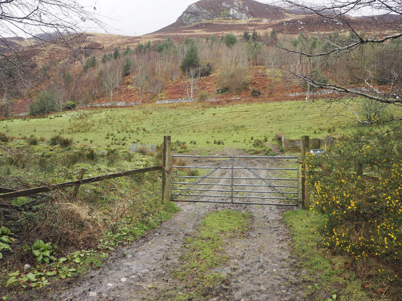
Once geared up I crossed the road and went through a stock gate into a grassy field which was initially wet and muddy.
At the north end of this field I climbed over a wobbly stock fence then a deer fence and entered an area of well spaced trees and dead bracken. The ground here was steep and a bit slippery and led to the upper deer fence.
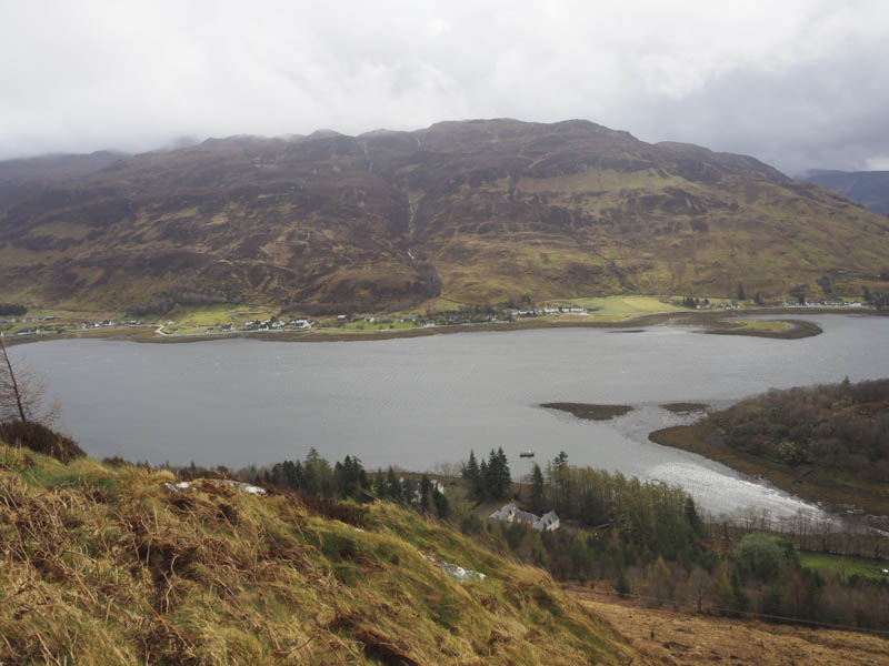
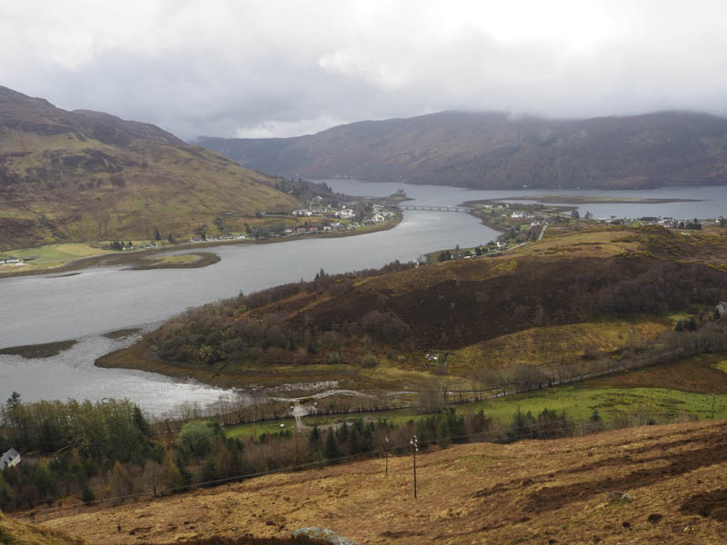
Once on the other side I was onto the open hillside. It was a steep climb through heather, grasses with some boulders, and into the low cloud.
The summit of Beinn Conchra West Top was reached; the highest point of this Tump appeared to be a cairn.
It started to rain as I descended south-west to the col then I climbed north-west onto the Tump, Beinn Conchra Far West Top. There were at least three points in contention for the summit but I wasn’t able to tell which was the highest.
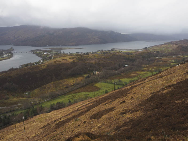
With no views I returned to the col then descended south to the deer fence. The cloud was even lower now as I kept to the outside of the fenced off area later entering and crossing a few grassy fields, muddy in sections, to reach to the gate used at the start of this walk.
- Time taken – 3.5 hours.
- Distance – 6 kilometres.
- Height climbed – 510 metres.