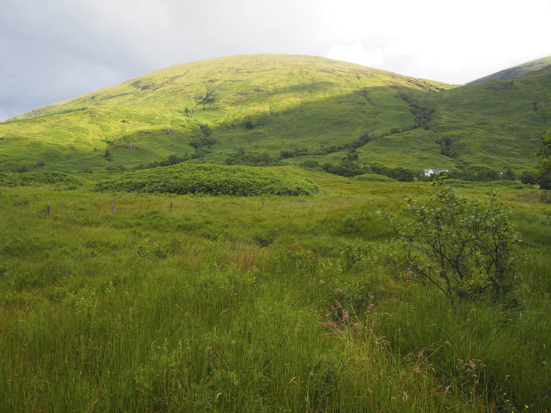
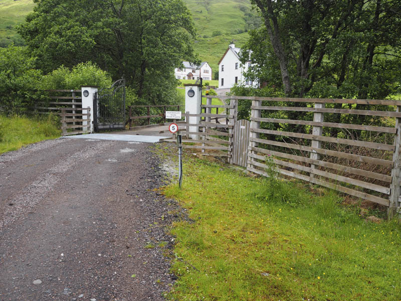
I parked at the start of the track leading to Inverskilavulin in Glen Loy, accessed from the B8004 Banavie to Gairlochy Road and walked towards this property which included holiday chalets.
At the access gate to this property signage indicated the route for hillwalkers which skirted the property to the west.
The path was obvious at first but not so as I passed through the chest high bracken which concealed the route and made for awkward walking.
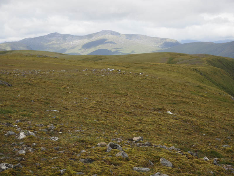
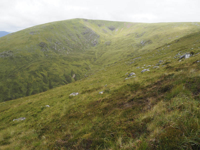
As height was slowly gained the rain commenced. Higher up and clear of the bracken I entered the low cloud. On walking round Coire Mhuilinn the rain ceased and the cloud began to lift and I visited Beinn Bhan’s West Top, a Sub Simm.
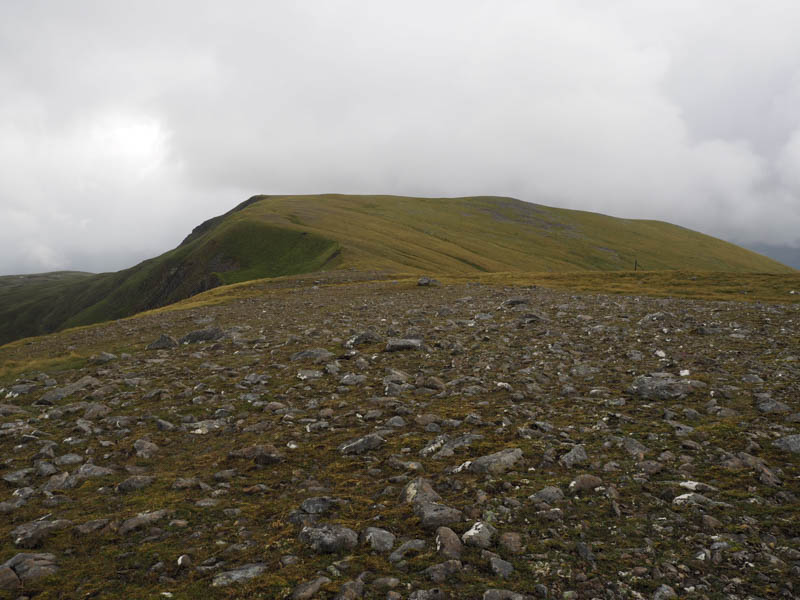
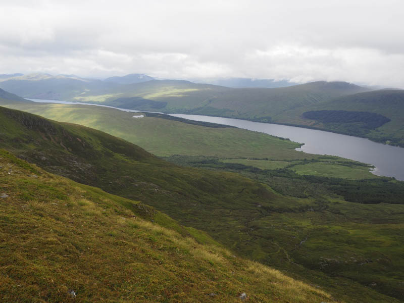
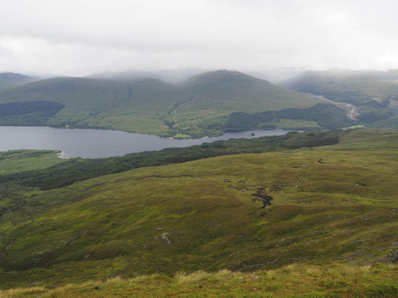
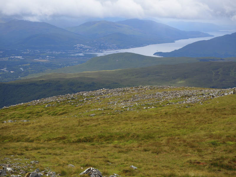
I then continued to Beinn Bhan’s summit trig point where I took a break with views west along Loch Arkaig and down to Loch Lochy.
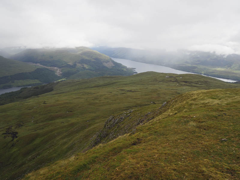
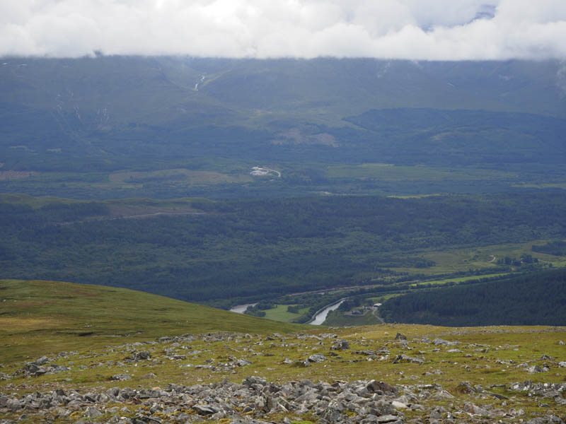
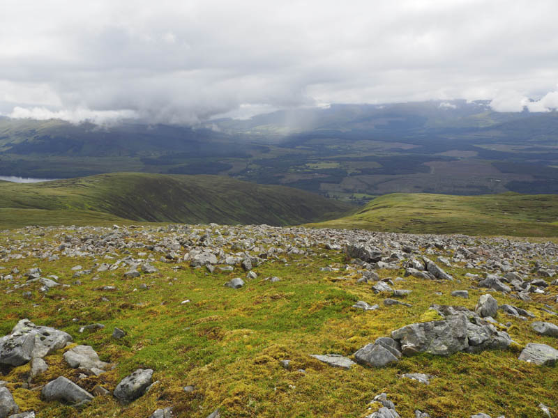
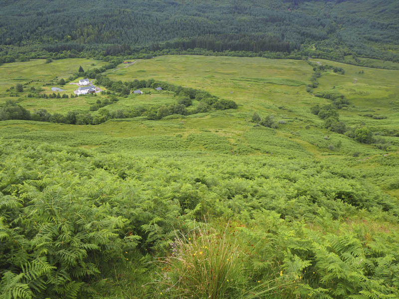
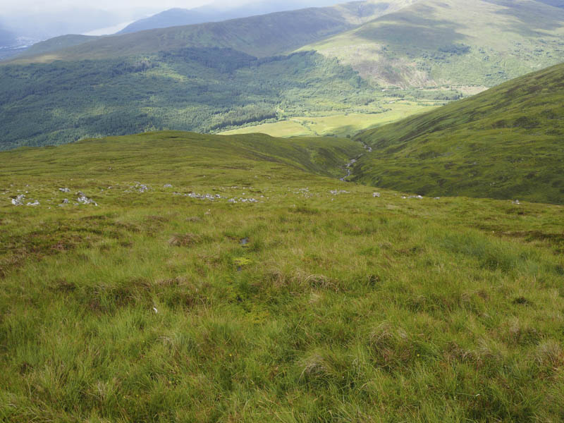
The descent south then south-west was across a mixture of vegetation until lower down where I located a path.
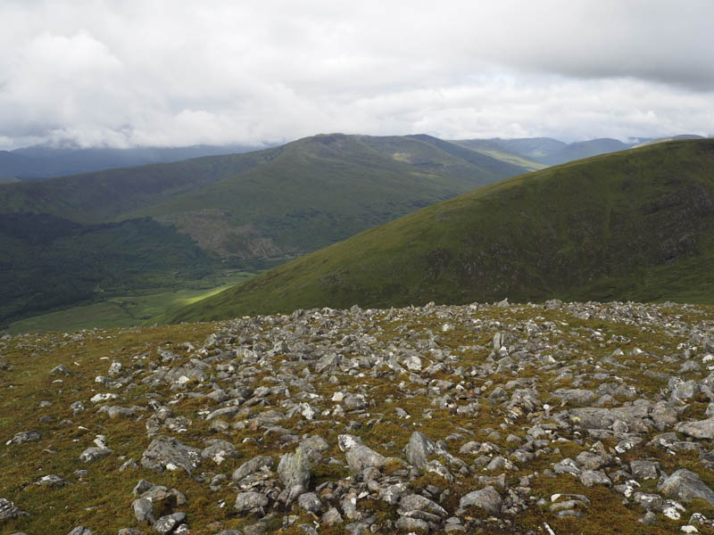
Again there was some chest high bracken to contend with before reaching the deer fence surrounding the property at Inverskilavulin. Signs showed the route to the west avoiding this property to rejoin the outward route and the short walk back to my car.
- Time taken – 3.5 hours.
- Distance – 8.25 kilometres.
- Height climbed – 785 metres.