I had climbed the Sub 2K Marilyn, Beinn a’ Mheadhoin and its Far East Top, a Tump, but not the South-West and East Tops so I was back to add them to my completed Tumps list.
I left the A87 Bun Loyne to Kyle of Lochalsh Road at Dornie, drove through this hamlet and to the road end at Bundalloch. There was new fencing here and a no parking sign so I drove back south-west and parked on the grass verge beside Loch Long. I then walked to the road end and passed the house where a shooting took place back in 2022. (Man recently imprisoned for murder on the Isle of Skye near where I was the previous day and attempted murders here and on Skye)
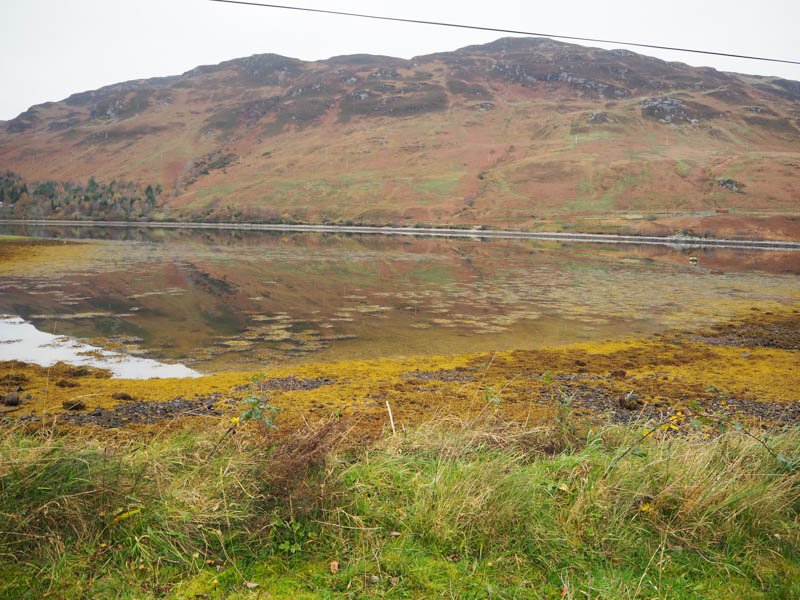
Immediately north of this turning point I crossed a bridge and briefly walked north-east on a track but soon left it, crossed a couple of gates, then went along the edge of a dyke and under a damaged deer fence. This took me onto the open hillside where it was a steady climb north-east then later east through grass and heather, longer the higher I got. There were traces of animal tracks, but I also thought some could have been man made
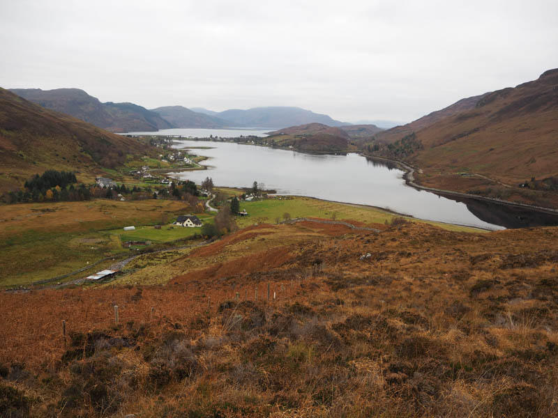
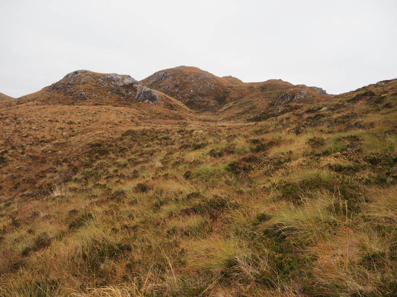
The ground was a bit undulating with a few knolls and bands of rock to avoid before climbing onto the summit of the Tump, Beinn a’ Mheadhoin South-West Top. The highest point was marked by a few rocks on an outcrop.
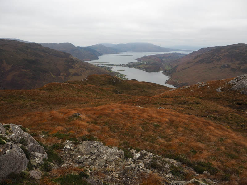
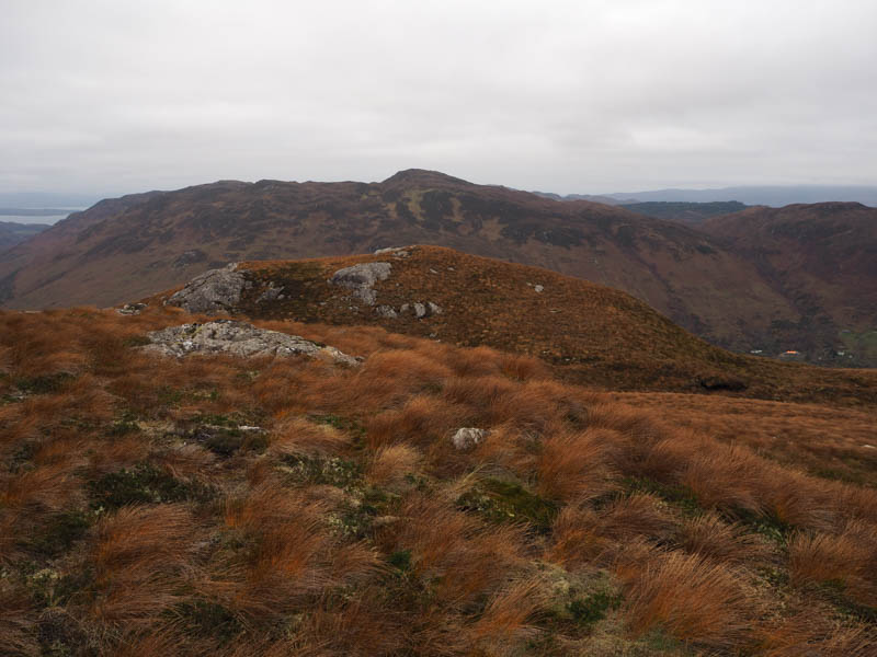
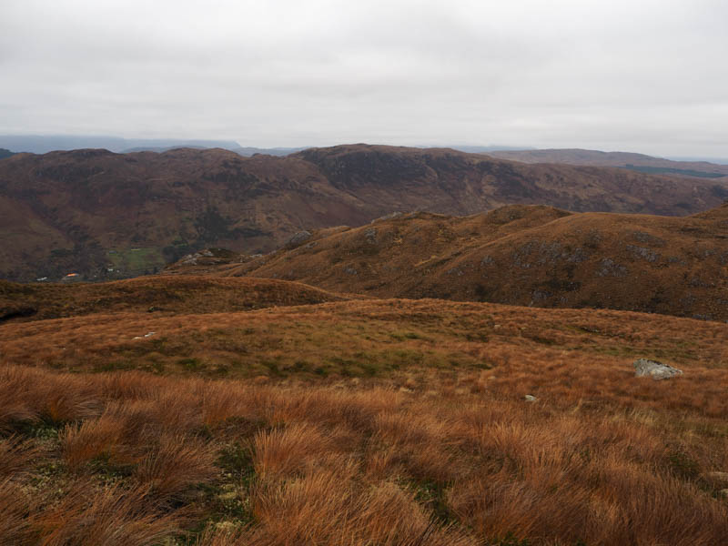
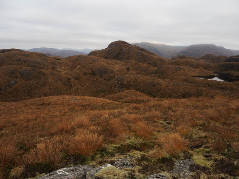
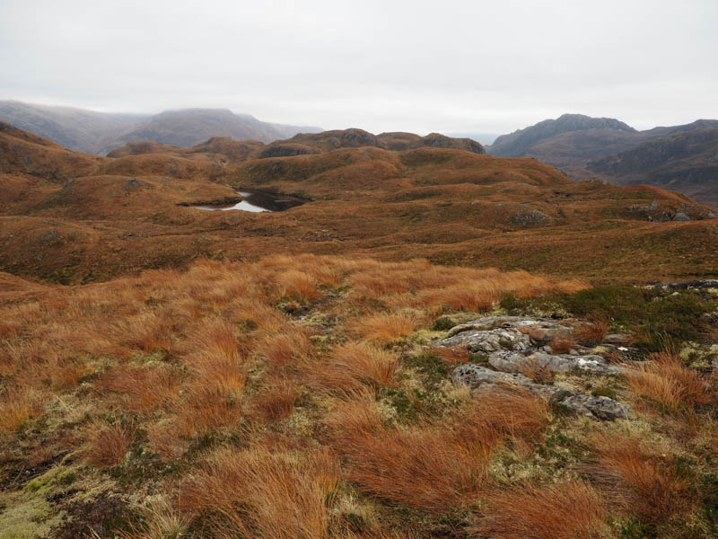
After a break here I descended east to the south end of Loch Dubhach across more undulating ground and longish vegetation.
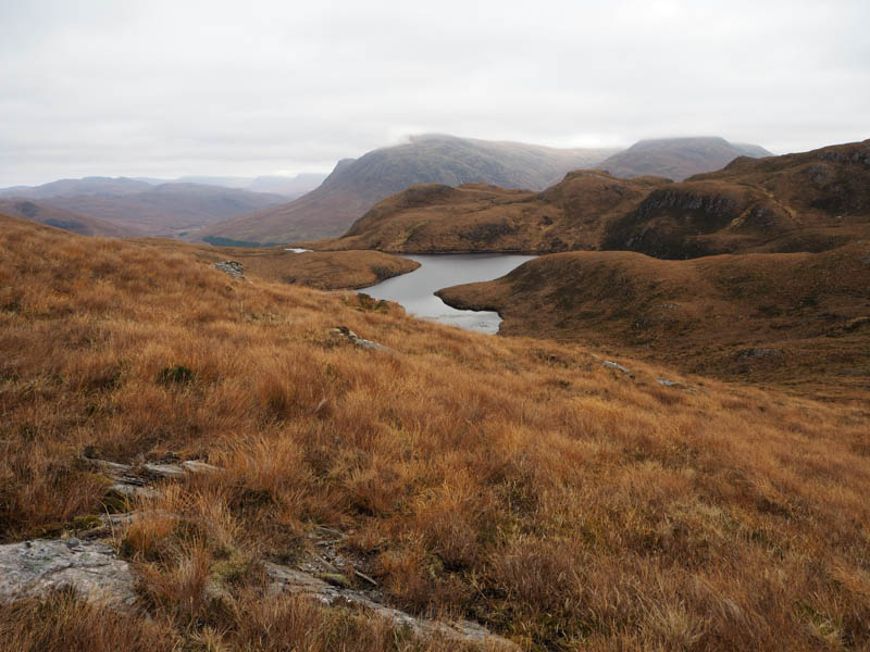
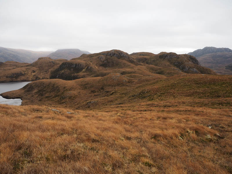
Beyond, after some height gain I crossed a stock fence which was a bit tricky as it was topped with barbed wire. I then worked my way round to the northside of the Tump, avoiding the rocky west face, and onto the summit of Beinn a’ Mheadhoin East Top, marked by an outcrop.
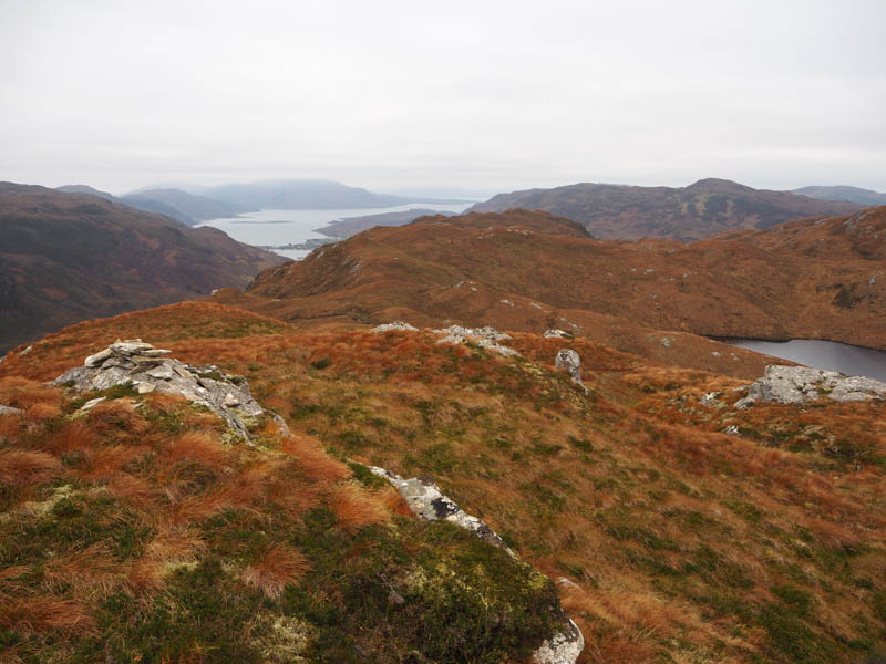
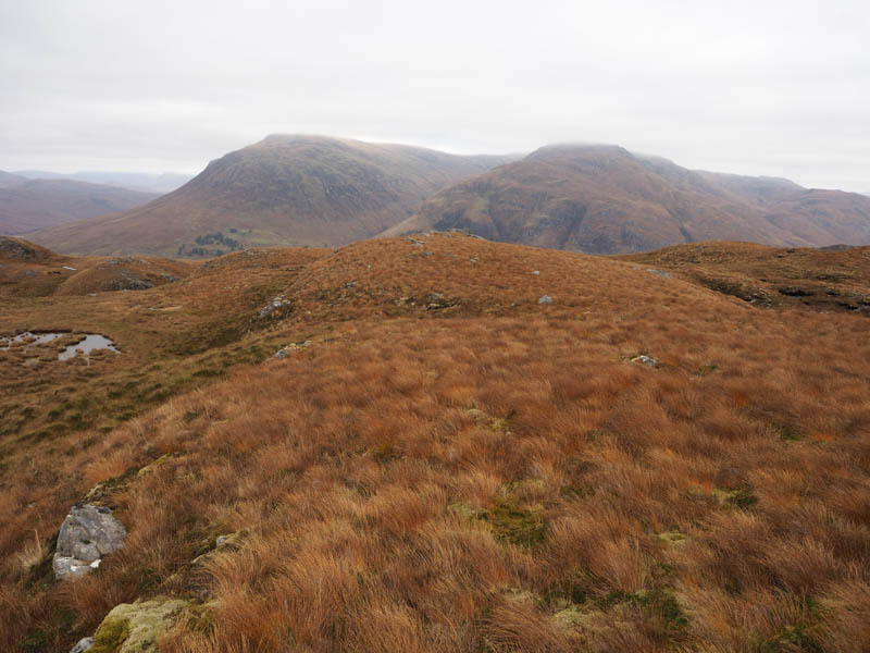
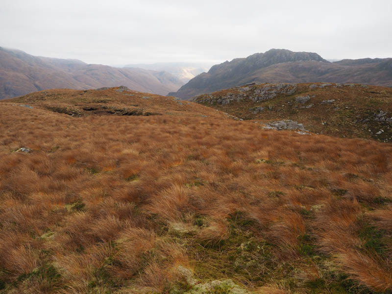
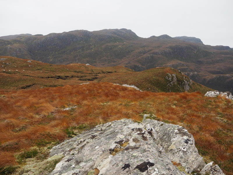
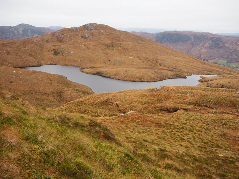
I headed back round the rock face then descended south-west down a grassy gully to a fence which was followed south and led to and stopped at a point where the gully narrowed and dropped steeply. Initially I worked my way down the east side of the gully but progress was halted when I reached the top of some crags. I descended into the dry gully and continued downhill, not that bad, until the fence re-started. It was then through heather and dead bracken to reach an open gate in the stock fence and the path on the north side of River Glennan.
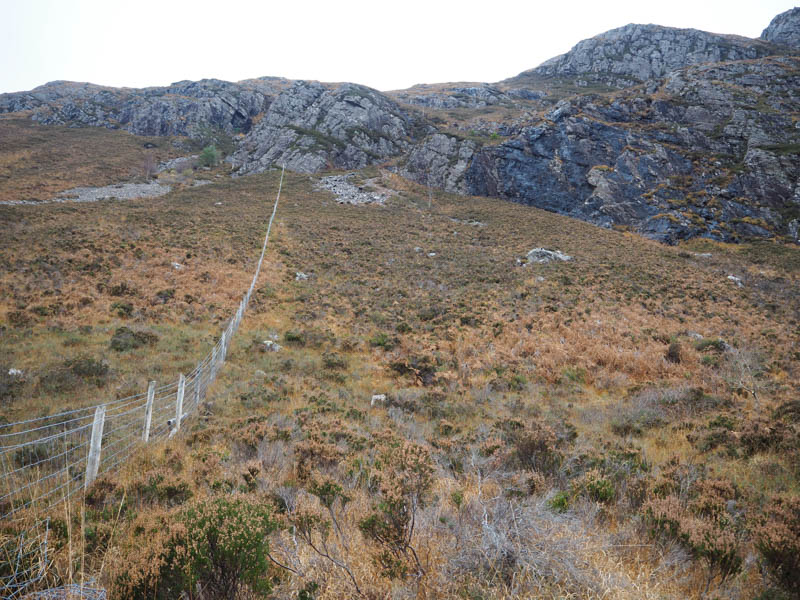
This path wasn’t in great condition rocky in places with areas of bog but it took me back to Bundalloch.
- Time taken – 4 hours 45 minutes.
- Distance – 8.25 kilometres.
- Height climbed – 450 metres.